The volcanic landscapes around the Ring of Fire have enticed adventurers for decades. Burnt black lava fields with otherworldly rock formations have an eerie atmosphere. There’s something thrilling about scrambling up steep scree slopes, to peer over the rim of a smoking crater. Or wild camping on a volcano’s slopes, and watching the fiery eruption from a nearby peak illuminate the night sky.
Intrigued by the idea of climbing a volcano and wondering where to start? Here’s our hand-picked list of the best volcano treks around the Pacific Ring of Fire.
What is the Pacific Ring of Fire?
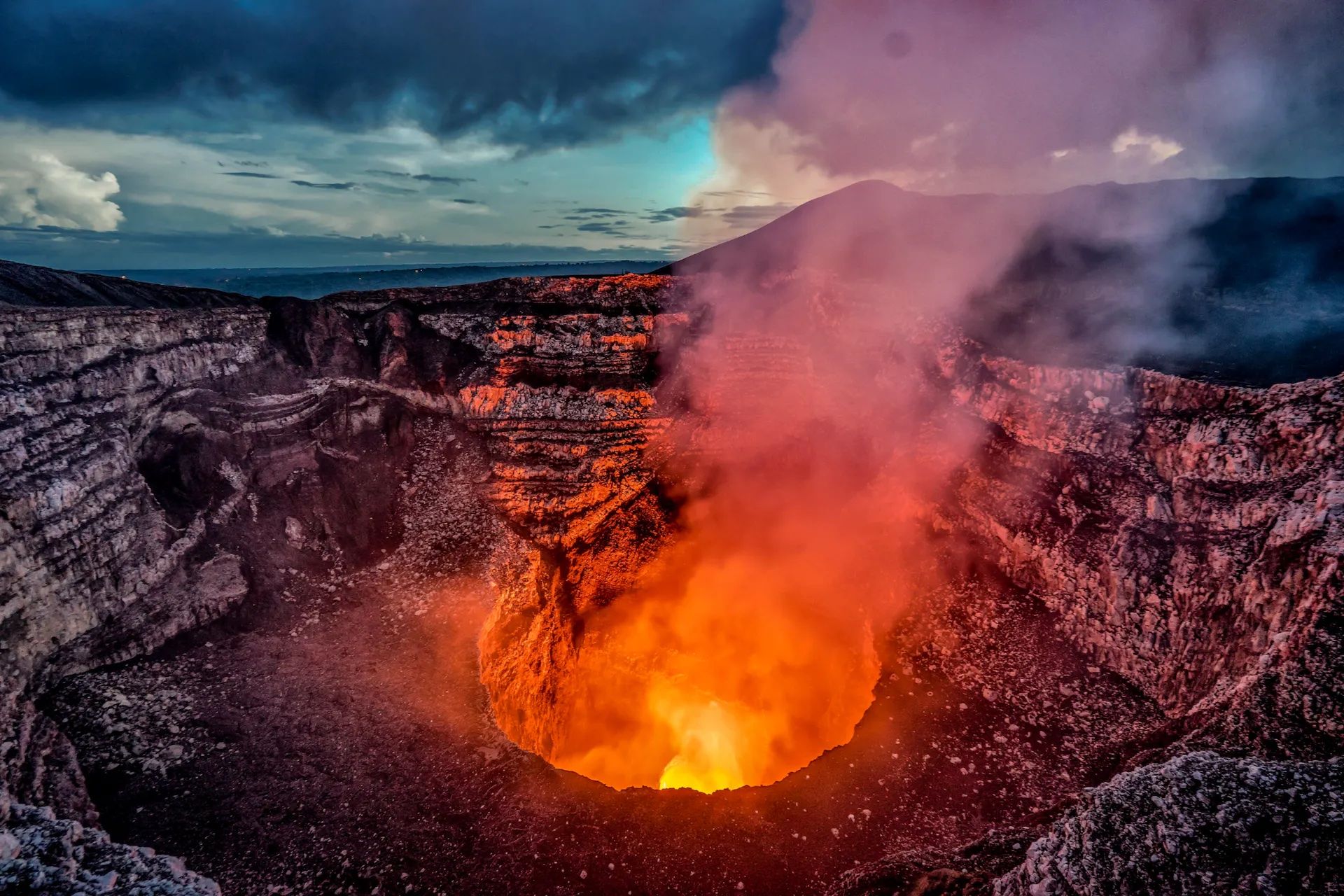
The Ring of Fire (also known as The Pacific Ring of Fire and the Circum-Pacific Belt) is a belt of active volcanoes and seismic hotspots positioned in a 40,000 kilometre loop around the Pacific Ocean. If we’re being pedantic, it’s not actually a ring - it’s more of a horseshoe shape.
It passes through 15 countries and links more than 450 volcanoes - over 75% of all the volcanoes in the world. This includes submarine volcanoes hidden under the water, and some of the most iconic summits in the world, such as Japan’s Mount Fuji.
So, what causes the Ring of Fire? It was formed millions of years ago in the subduction zones between different tectonic plates. At a boundary where two plates converge, they’ll overlap and one will be pushed underneath the other. As this takes place, rocks will melt to form magma. As it becomes increasingly hot and pressurised it pushes its way up through the earth’s crust in a volcanic eruption.
As well as convergent boundaries, you’ll also find divergent and transform boundaries along the Ring of Fire. A divergent boundary is when two plates are drifting apart from each other, leaving a rift which is filled by magma. Much of this takes place on the ocean floor. A transform boundary is created when two plates slide past each other, creating friction which leads to, you guessed it, seismic activity and earthquakes.
Where is the Ring of Fire located?
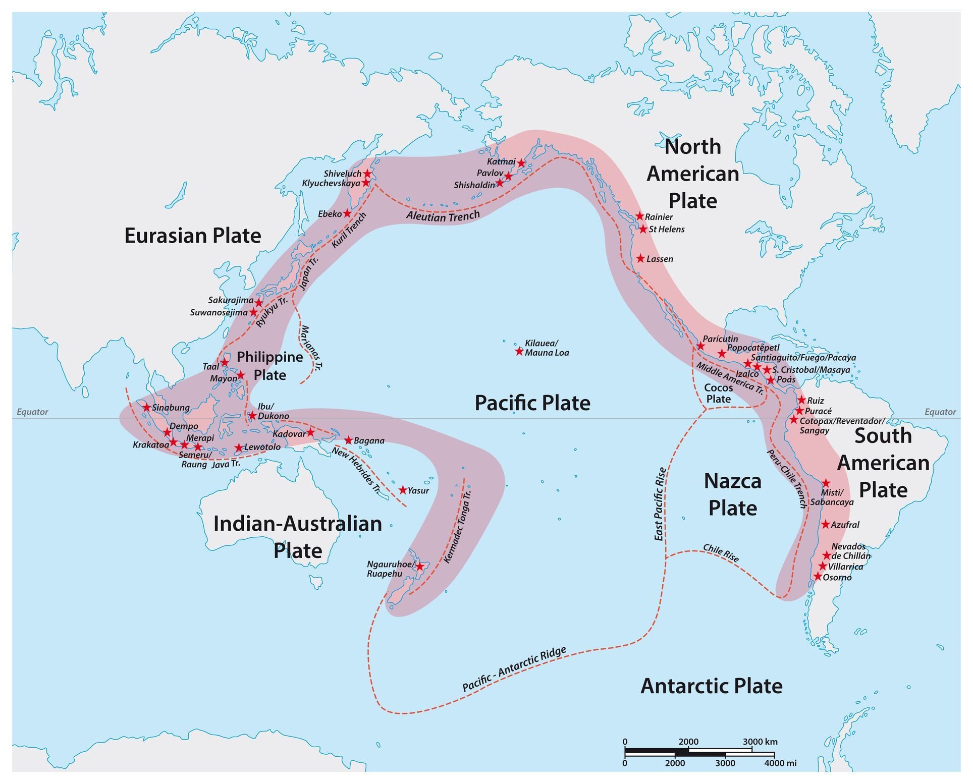
As the map above indicates, The Ring of Fire is an arc that traces the Pacific Coast of North America, South America, the Kamchatka Peninsula and islands in the West Pacific (such as Japan and New Zealand). However, whether the entirety of Indonesia is included is a topic of debate between oceanographers and geologists, as some believe the eastern part of the country lies on the Alpide Belt instead.
The Ring of Fire traces a path between different tectonic plates. This includes the Juan de Fuca, Cocos, Indian-Australian, Nazca and Philippine Plates, all of which are located in and around the Pacific Ocean.
How to Hike on An Active Volcano
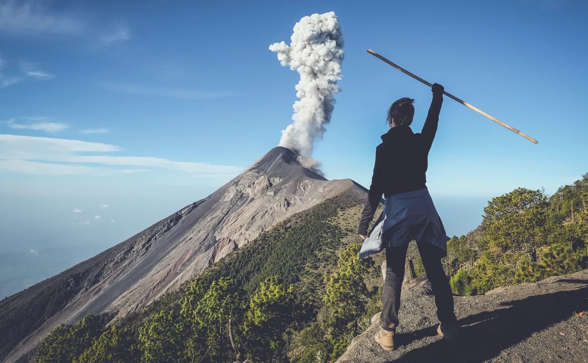
Good news for those who want to climb a volcano - it’s entirely possible. However, aspiring volcano-baggers do need to take precautions in order to manage the level of risk on a volcano hike. Not only do you have the hazards that come with climbing any mountain at high altitude - such as altitude sickness and unpredictable weather - there’s also, you know, the potential for smoke and lava to come spewing out of the top of it.
When you choose a volcano to climb, it’s important to do your research. Familiarise yourself with its eruptive cycle, and whether or not it’s being regularly monitored by scientists (we’d recommend choosing one that is). If you’re climbing a particularly active volcano, stay informed of the latest developments. The Smithsonian National Museum’s Global Volcanism Program is a useful resource - it provides, amongst other things, a list of new volcanic activity around the world.
We would definitely recommend that you hike an active volcano with a local guide. They’ll have good inside knowledge about the volcano, and will know any areas or routes that need to be avoided. They’ll also be trained in evacuation procedures in the event of an eruption.
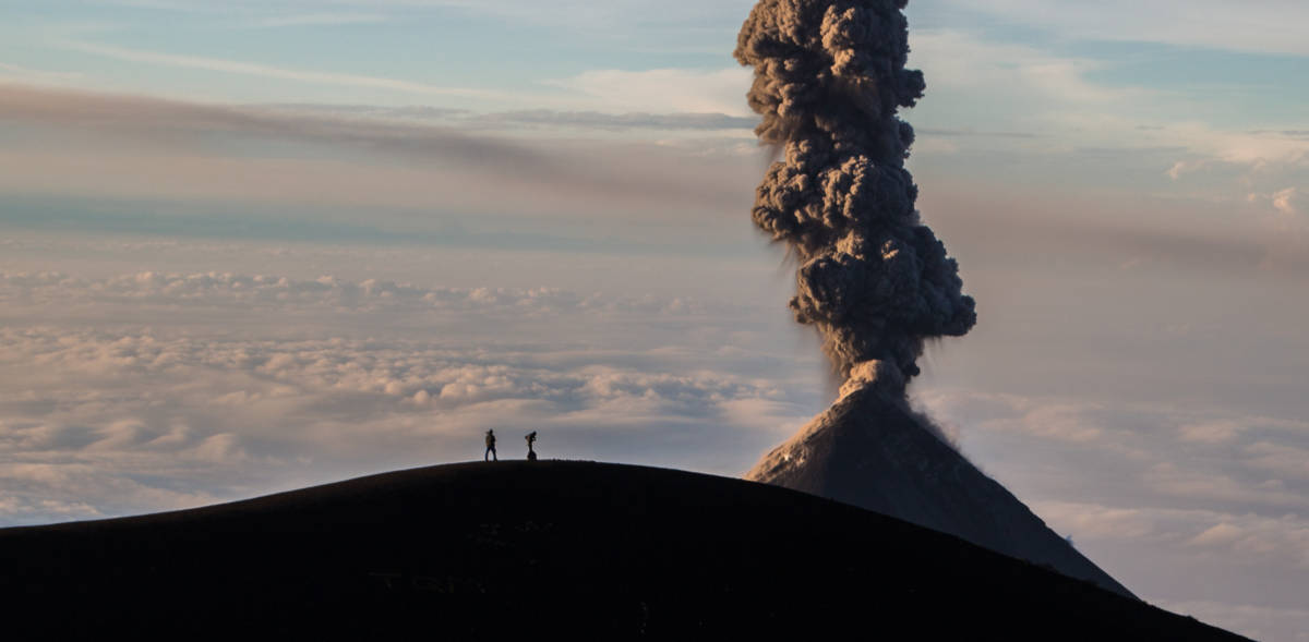
It’s also worth noting that sometimes the best view of a volcanic eruption is from the neighbouring peak. Guatemala’s Volcán de Fuego is one of the most active volcanoes in Central America, often erupting and belching out gas, ash and fire. Steer clear of its slopes - you can’t climb to the summit anyway - and watch the show from the adjacent peak of Acatenango Volcano instead.
Acatenango is just one of many volcanoes along the Ring of Fire which combine the excitement of an eruption (while not being in any direct danger) and spectacular views, with a challenging-but-rewarding hike. Here are ten of our favourite volcanoes to hike around the Pacific Ring of Fire.
10 Volcanoes to Climb Around the Ring of Fire
1. Sierra Negra Volcano, Galapagos
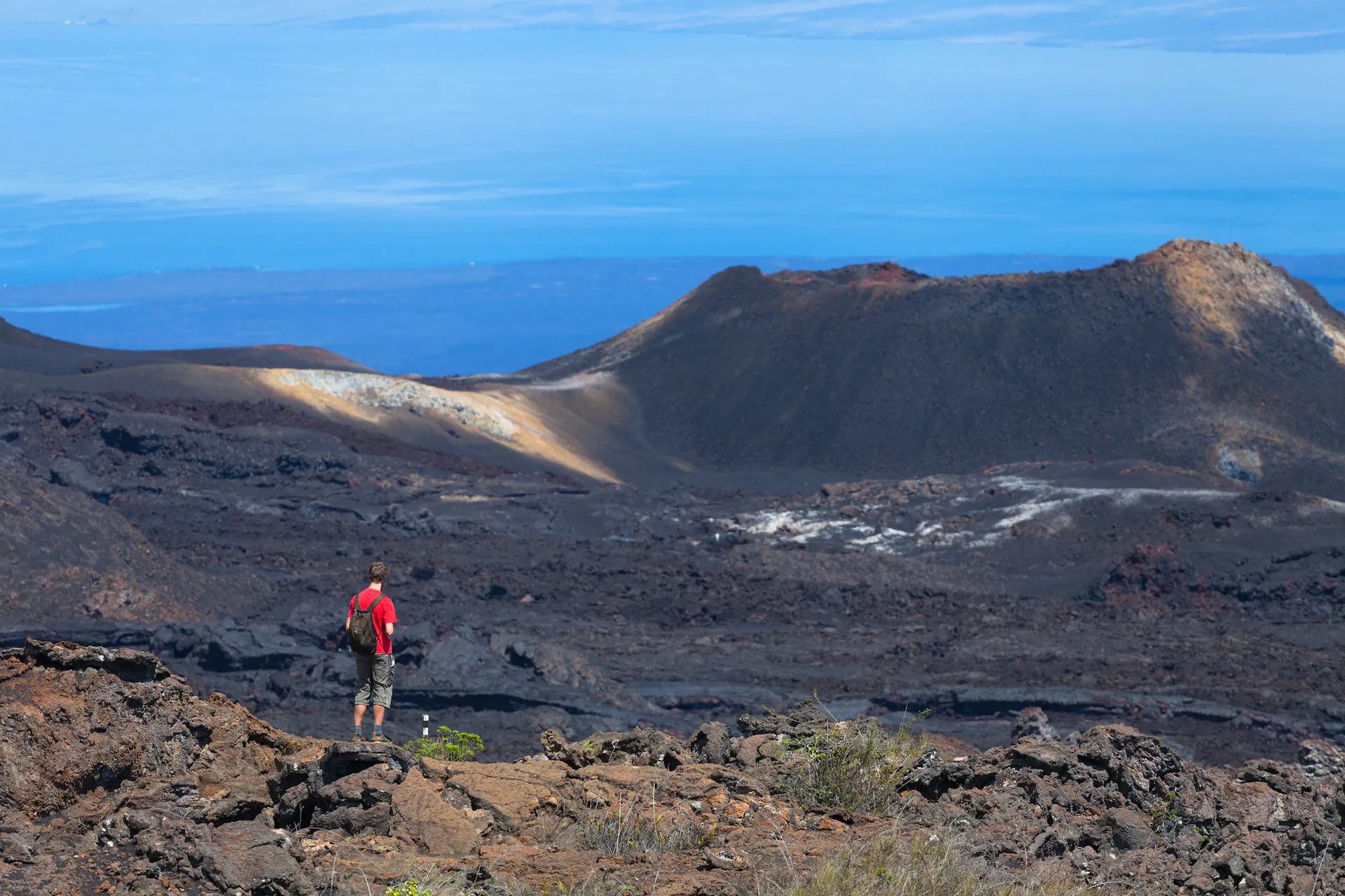
Elevation: 1,124m
It might be one of the smaller volcanoes on our list, but Sierra Negra in the Galapagos Islands is also one of the widest, with a huge 30km circumference. What’s more, it boasts one of the largest and most active volcanic craters in the world - almost 10km across. You’ll hike for several hours through lush forest until you reach the rim of the crater, and peer over the rim into an otherworldly lava field. Trek a little further and you’ll reach Volcan Chico, a parasitic vent volcano letting off clouds of steam. On a clear day, you’ll be able to see all the way to the ocean, to Santiago and Fernandina Islands.
2. Mount Fuji
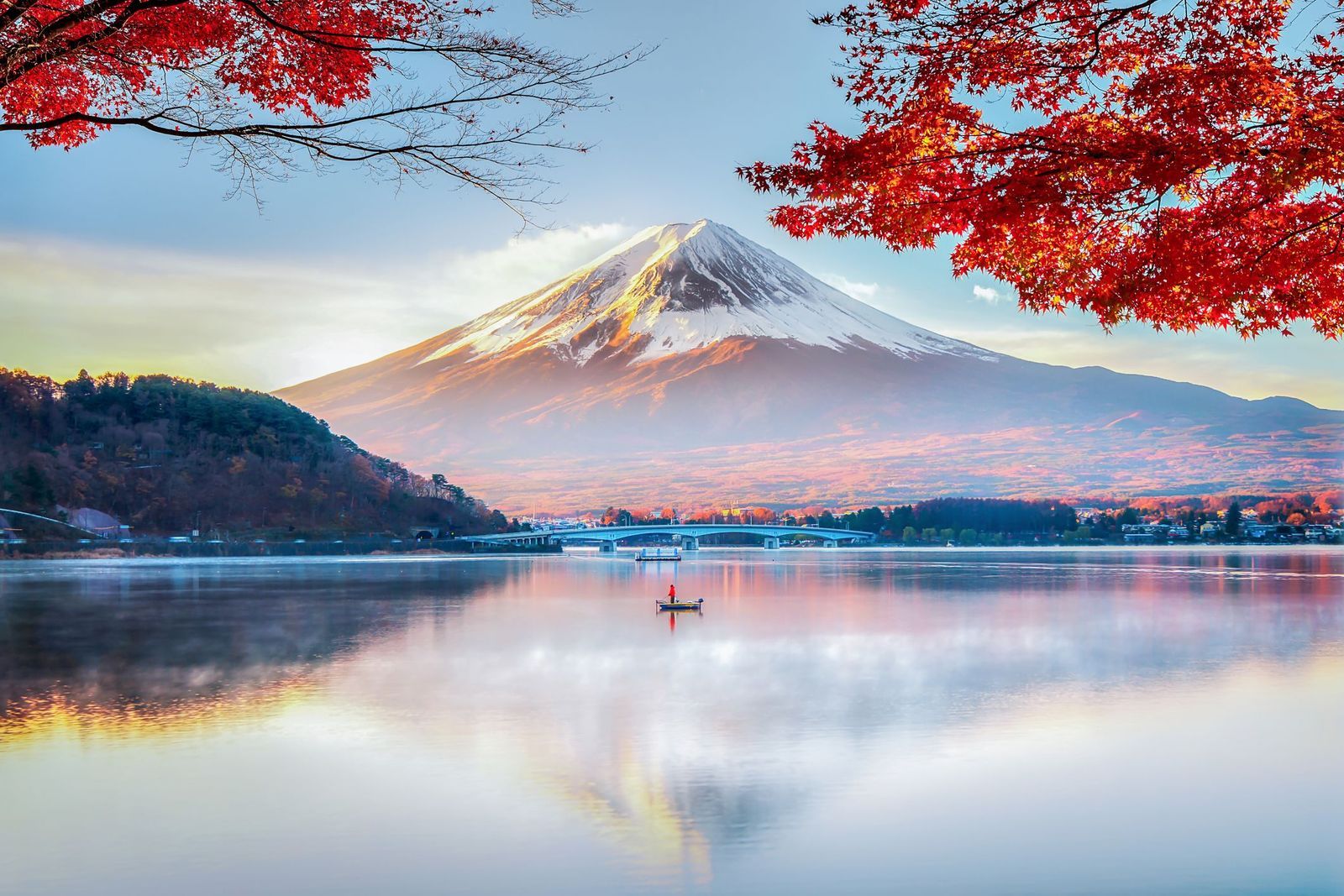
Elevation: 3,776m
What volcano could be more iconic than Mount Fuji, one of the most popular hikes in Japan? The perfectly conical shape has huge cultural significance, inspiring countless artworks, and many Japanese people make an annual pilgrimage to the shrines on the mountain. At 3,776m, climbing to the summit is not for the faint hearted - many people restrict themselves to a day hike up to one of the base camps (known as 5th stations). There are four different routes to the top. The most popular is the Yoshida Trail, as it’s the easiest to hike and has the most mountain huts and amenities along the way. It also faces east, so you can time your ascent with the sunrise.
3. Kīlauea, Hawaii
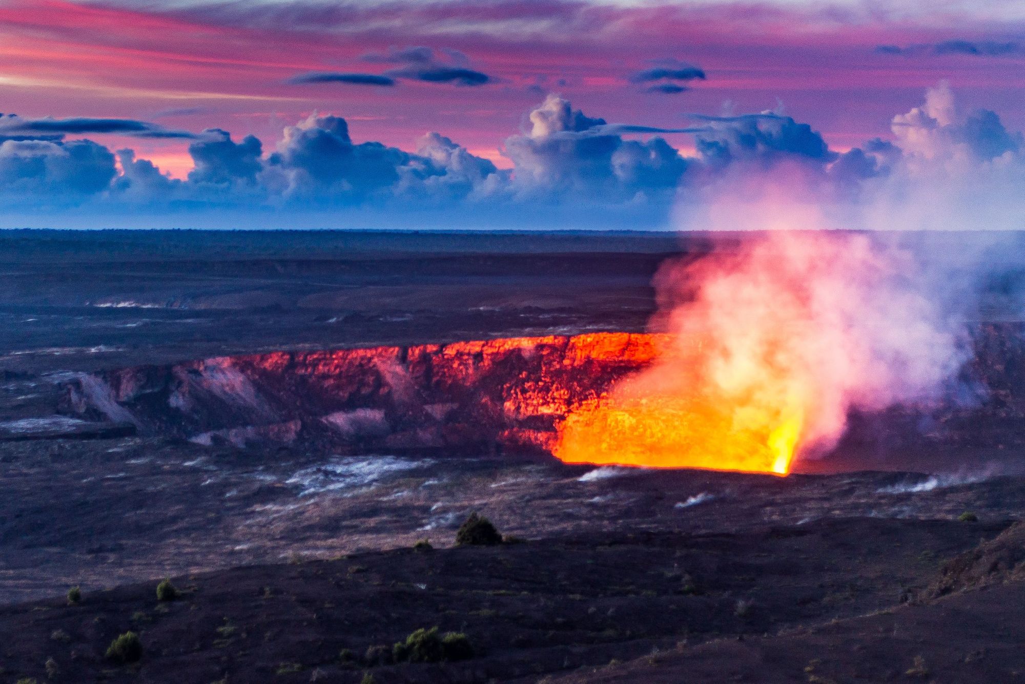
Elevation: 1,247m
One of the world’s most active volcanoes, Kīlauea has been erupting continuously since 1983, providing a spectacle viewed by several millions of people a year. The 17-mile Crater Rim Trail takes you around the rim of Kīlauea’s crater, where you’ll be able to witness the steam rising from the crater, and will pass through both lush rainforest and barren lava fields. While it’s an easy, clearly demarcated trail, you must be wary of the sulphur dioxide fumes coming from the crater. Due to the high activity of the volcano, it’s worth checking the current conditions on the Hawaii Volcano National Parks website.
4. San Cristóbal, Nicaragua
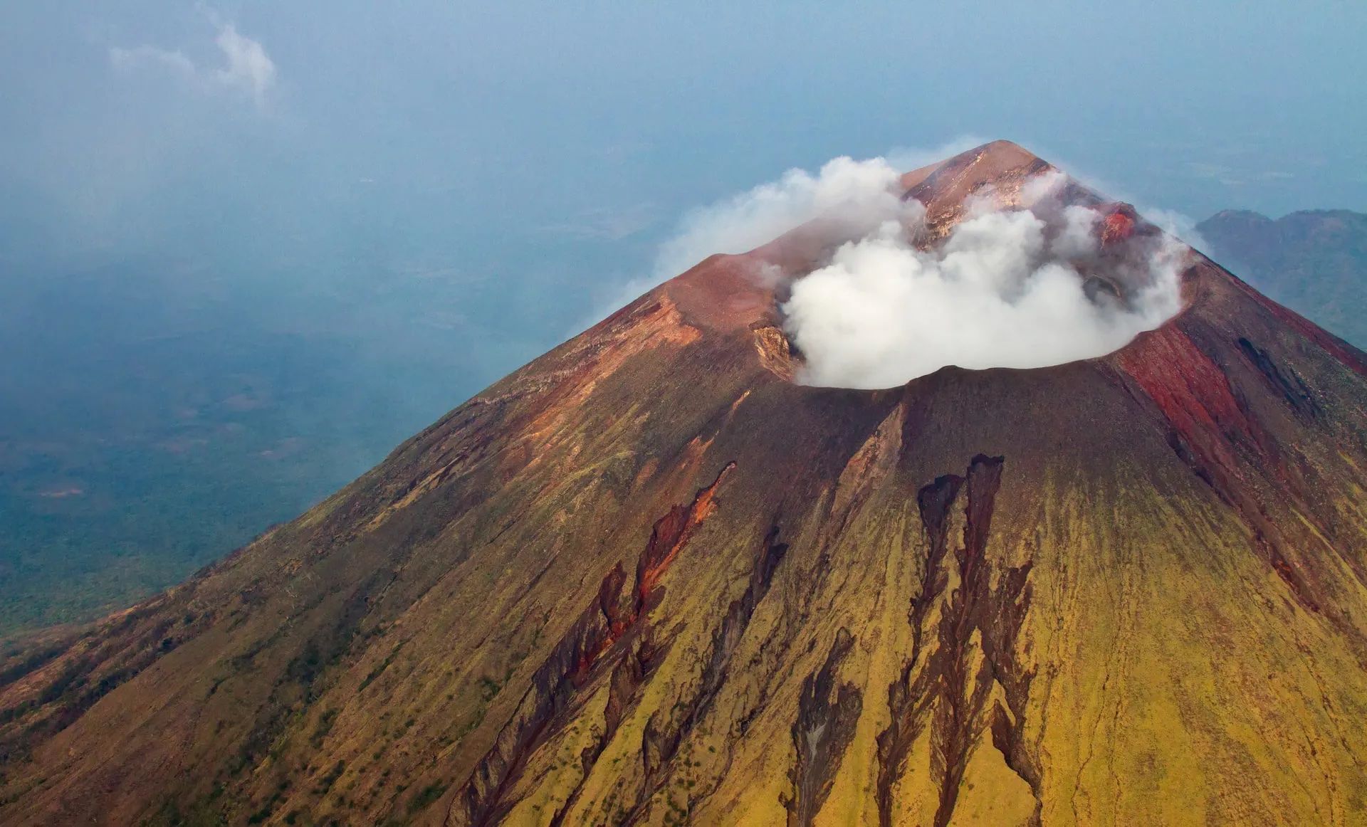
Elevation: 1,745m
Challenge yourself by climbing Nicaragua’s highest volcano (and one of its most active). The hike consists of a nonstop ascent up steep, ash covered slopes. You’ll struggle to find a grip on the scree. Clouds of ash and volcanic gas fill the air. But the view from the crater rim at the top is unsurpassed, offering a panoramic view of the surrounding volcanoes such as La Casita and El Choncho. On clear days you can see all the way to neighbouring Honduras.
5. Mount Ngauruhoe, New Zealand
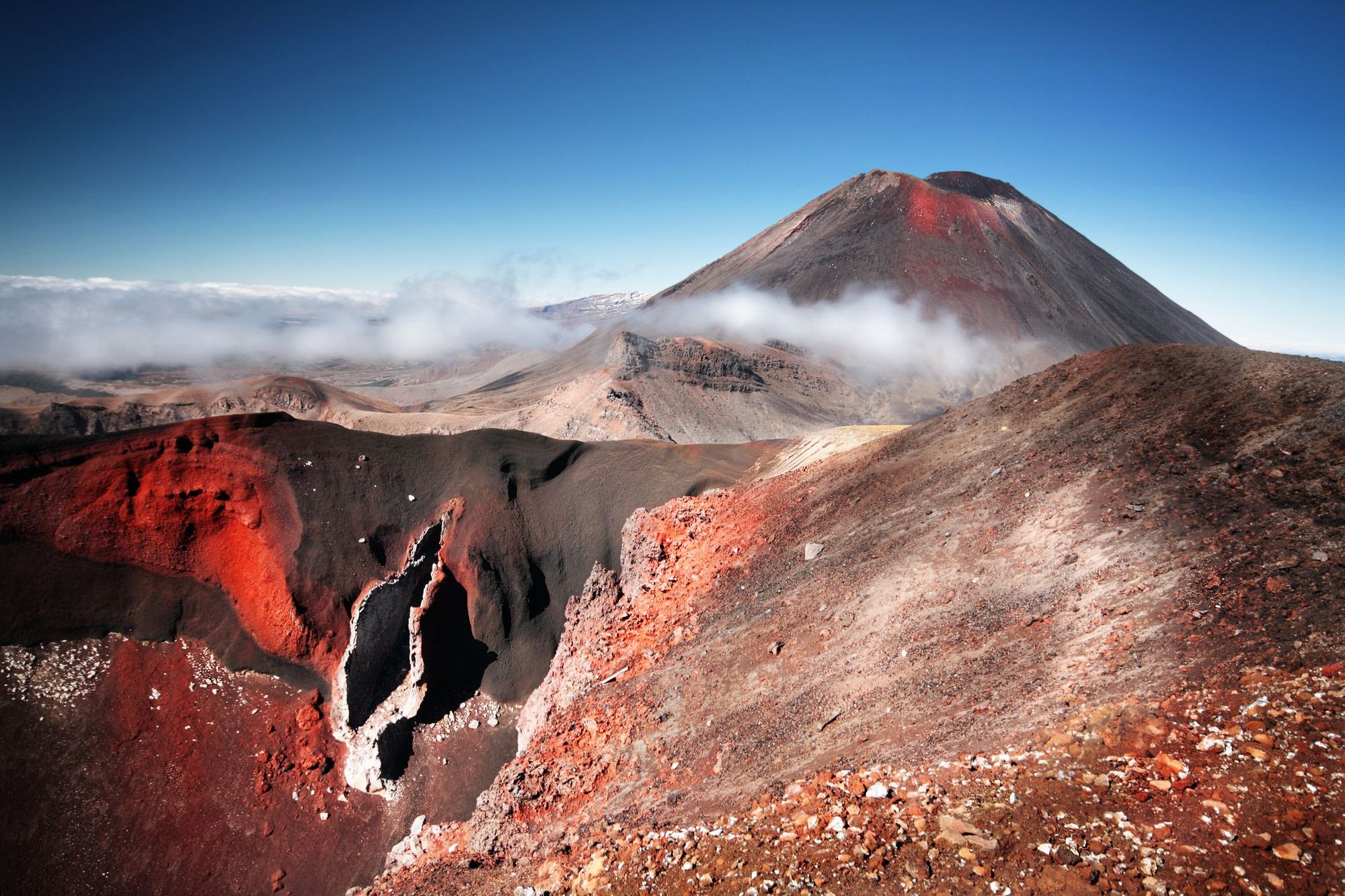
Elevation: 2,291m
Mount Ngauruhoe, on New Zealand’s North Island, is perhaps better known as Mount Doom from Lord of the Rings. You know, the one Frodo had to climb to destroy the ring of power. We guarantee your own ascent won’t be as harrowing - but even so, it’s not for the faint of heart. The ascent of Mount Ngauruhoe is most commonly undertaken as a side trip along the epic Tongariro Alpine Crossing. You’ll start from the South Crater entrance and just need to follow the path upwards. It’s a steep incline, and tough terrain - loose tephra in the summer and ice and snow in winter, necessitating ice climbing equipment. But the satisfaction of reaching the summit - and looking out over the black volcanic peaks and turquoise crater lakes - makes it all worthwhile.
6. Arenal Volcano, Costa Rica
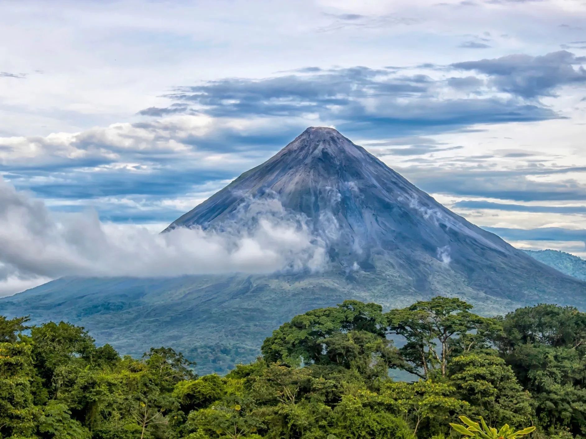
Elevation: 1,647m
In 1968 an extinct volcano named Mount Arenal surprised everyone by erupting. Several small villages were destroyed, but in the longer term the area became a site of interest for volcanologists and tourists keen to hike its slopes. There are several trails around the mountain. The best known is Arenal 1968, which winds across the volcano’s western slope, over the lava fields which are beginning to be reclaimed by the rainforest. You’ll have some excellent views of Arenal and nearby Cerro Chato. It’s possible to climb to the crater of the latter, but not the former, due to the risk of another eruption taking place.

7. Cerro Negro, Nicaragua
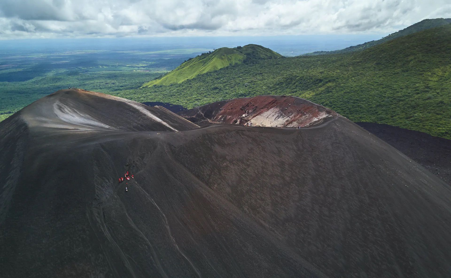
Elevation: 728m
It’s a short, steep climb up the north face of Cerro Negro to reach its summit. Once again, you’ll be scrambling up the rough volcanic slopes, which are completely devoid of vegetation. From the top, you’ll be able to see the crater, which often emits smoke. But best of all - you don’t have to walk back down. Instead you get to try volcano boarding. Wearing a boiler suit and goggles, you’ll sit on your board and slide down the sandy west slope to the bottom.
8. Acatenango, Guatemala
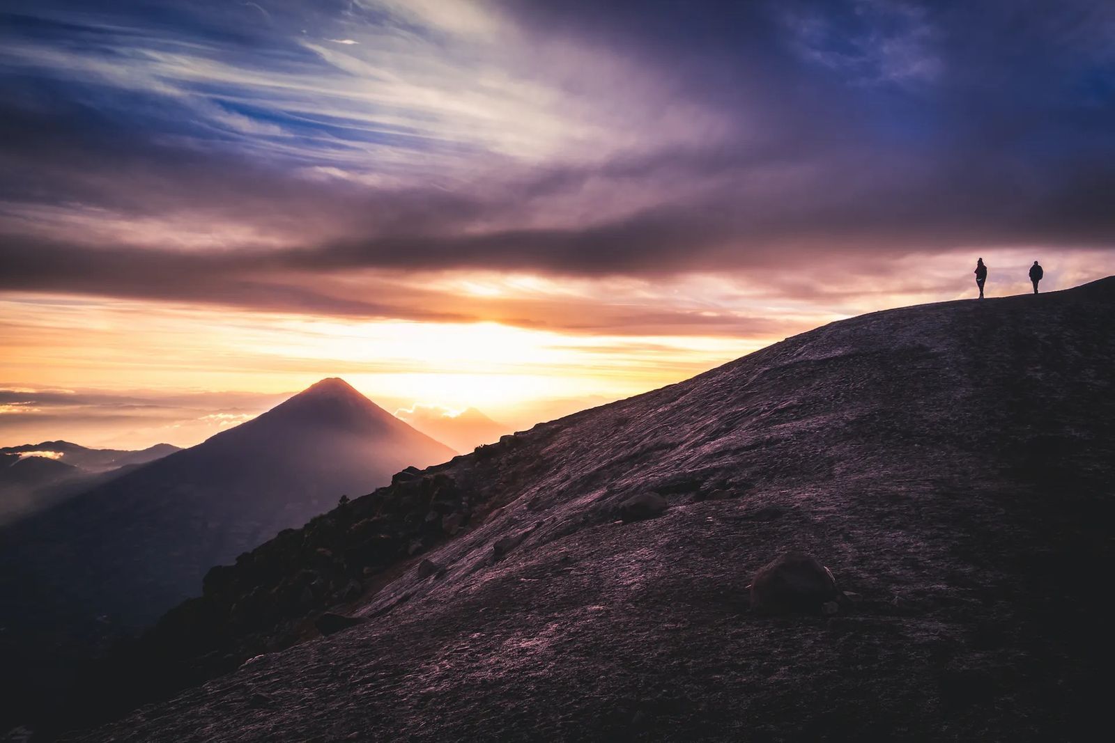
Elevation: 3,976m
If you’re interested in volcano hikes in Guatemala, then Acatenango should be top of the list. The best way to tackle this challenging hike is to do it over two days. That way, you’ll be able to wild camp on the volcano. On the first day you’ll hike up through biodiverse cloud forest, making camp just below the treeline. Once it gets dark, eyes peeled for adjacent El Fuego, which might be living up to its name by shooting sparks and smoke into the sky. Undertake the final scramble to the summit before dawn. Yes, it’ll be cold and exposed on the slopes. But you’ll be treated to a spectacular view of sunrise across the Guatemalan highlands.

9. Rumiñahui, Ecuador
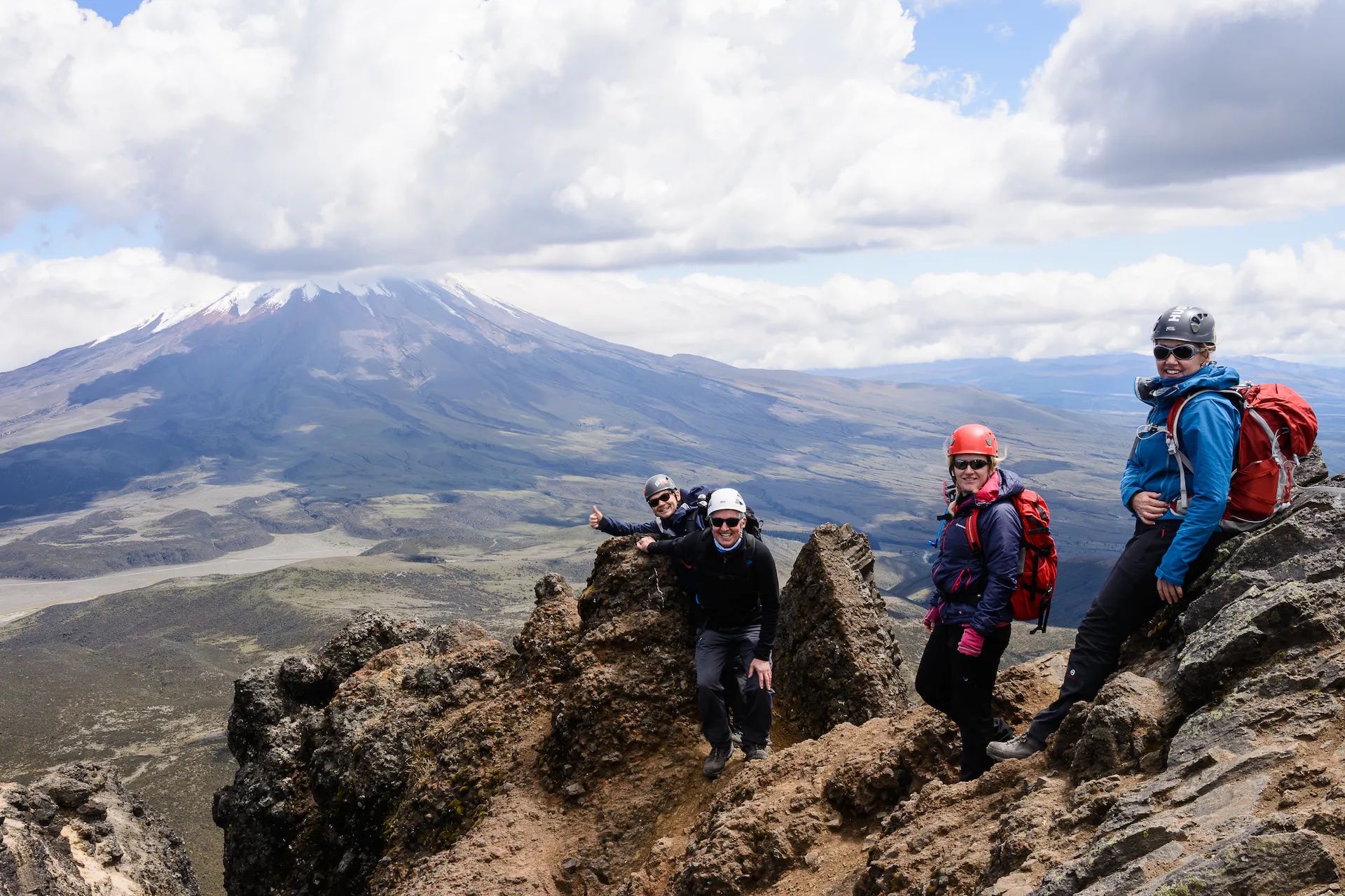
Elevation: 4,712m
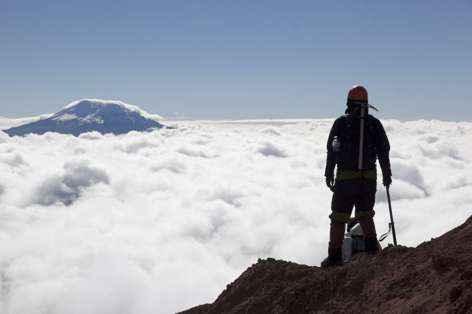
Towering at 4,712m, Ecuador’s Rumiñahui is the highest volcano on this list, and climbing it is no mean feat. There are actually three high points on the edge of the crater, all of which can be climbed - Rumiñahui Norte (4712 m), Rumiñahui Central (4631 m), and Rumiñahui Sur (4696 m). Whichever peak you choose, you’ll be contending with hiking at high altitude, low temperatures and uneven terrain. However, although it’s a scramble to the top, you don’t need any technical mountaineering expertise or equipment. In fact, many hikers use Rumiñahui as an acclimatisation hike for neighbouring Mount Cotopaxi (5,897m).
10. Mount St Helens, USA
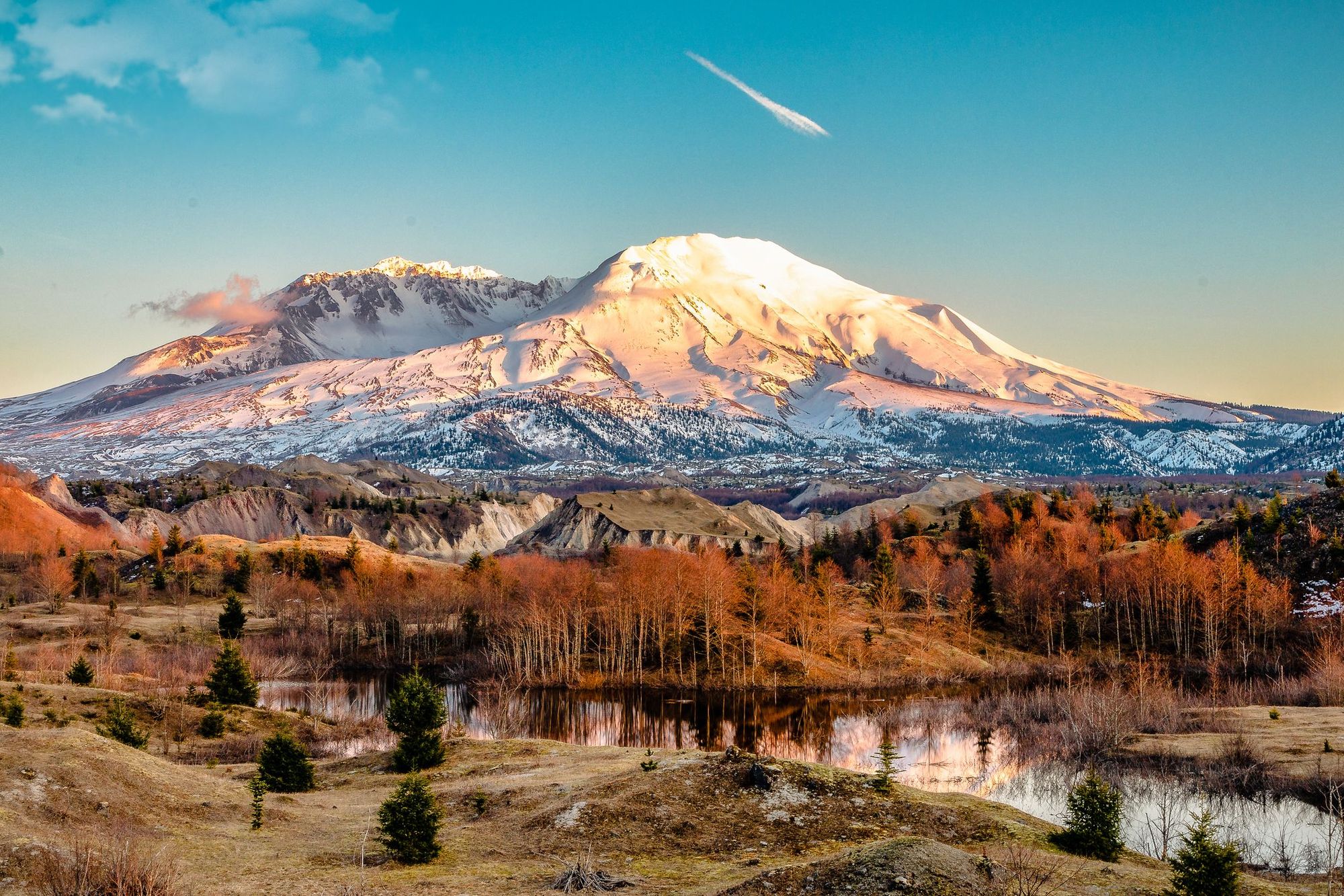
Elevation: 2,549m
Mount Saint Helens dominates the skyline in the Cascades Range in Washington State. Climbing it requires a permit, which can be easily obtained online (but do so in advance, numbers are limited). There are two routes to the top. Monitor Ridge Route is the summer route. It begins at Climber’s Bivouac Trailhead, where you can camp the night before, and winds upwards through forest and lava fields before a scramble across boulders to the top. Winter climbers must take the longer Worm Flows Route, a more direct route across ridges and open slopes - you’ll need technical climbing experience to navigate this icy terrain.
Feeling inspired? Check out our volcano treks, which take you up some of the world's highest volcanoes.


