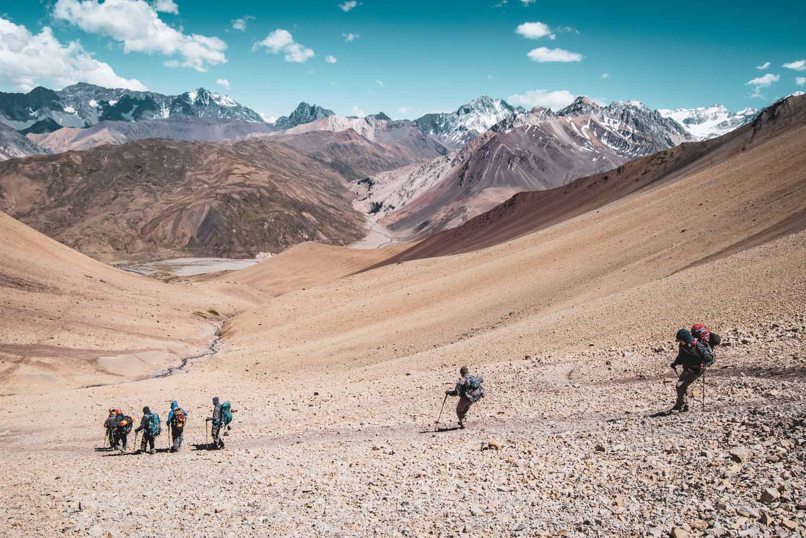
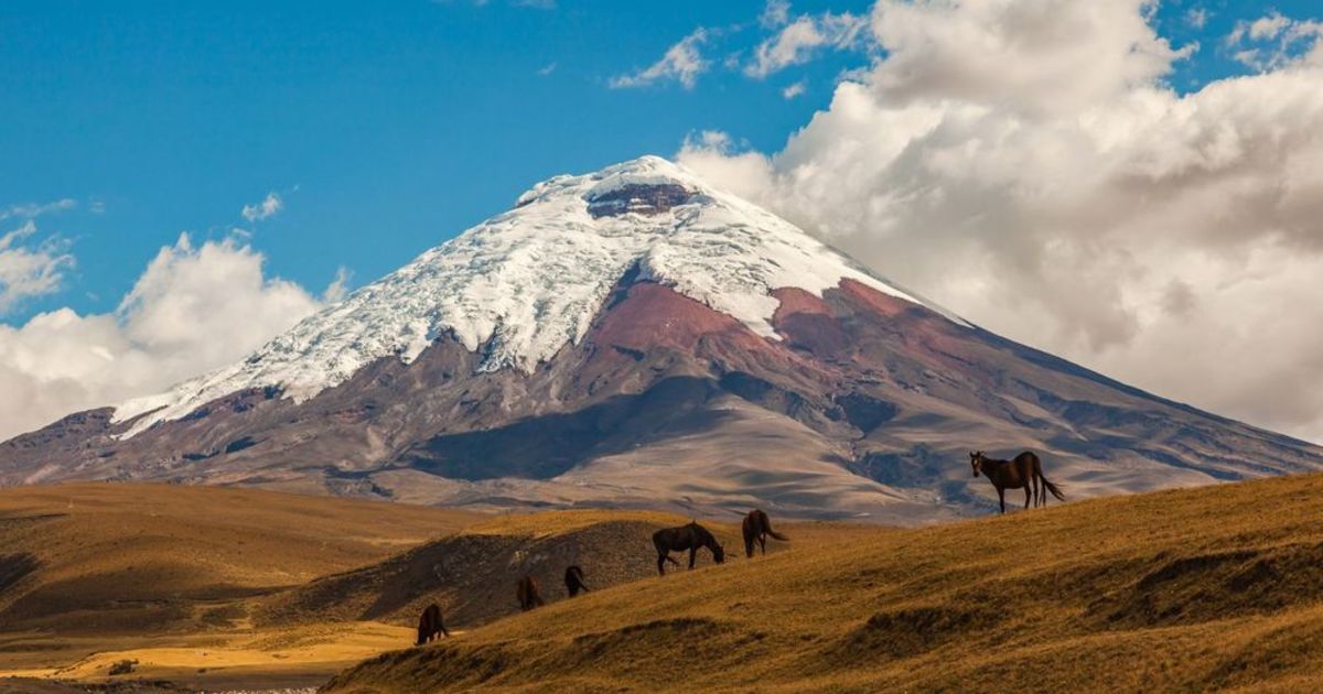
South America is an ecological treasure trove of landscapes. There's Ecuador, with its sky-piercing avenue of volcanoes, the bare black summits striped with snow. The vast, humid biome of the Amazon Rainforest, which spans eight South American countries and home to one in ten species on earth. Then there are the calving glaciers and granite mountains of Patagonia, a wilderness area in Argentina and Chile, and so, so much more.
Hiking is an ideal way to immerse yourself in this beautiful, biodiverse continent. There are numerous hiking trails across South America. Some are well trodden but many more have barely been explored. You can cross the high Andean passes between Argentina and Chile as condors circle overhead, or push deep into the Colombian rainforest to an ancient Incan city. The options are practically endless. To help us narrow them down, we called upon Much Better Adventures own trip-creator Adam Roberts, who has lived and travelled extensively in South America, to help us out.
Of course, what’s ‘best’ is subjective. For us, the best hikes will introduce you to awe-inspiring scenery. We’re particularly fond of getting off the beaten track, so while we’ve included several popular hikes - such as the W Trek in Torres del Paine National Park - we’ve added route extensions and variations that will take you to less crowded trails. A few of the hikes we’ve selected are in places rarely seen by tourists - by visiting you’ll be providing valuable revenue to the local communities. ‘Best’, for us, is also indicative of effort - we like a bit of type two fun on our adventures, and to feel tired but satisfied at the end of the day. So, without further ado…
The Best Multi-Day Treks in South America
1. The Lost City Trek, Colombia
Perfect for: Indiana Jones wannabes
Duration: 3-4 days
Difficulty Level: challenging
Closest airport: Santa Marta
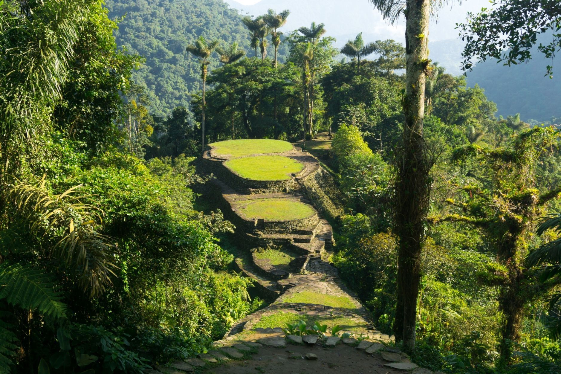
This trek is perfect for anyone interested in discovering ancient cities hidden in the humid jungle of Colombia. You’ll be travelling deep into the biodiverse rainforest that carpets the Sierra Nevada de Santa Marta - the highest coastal mountain range in Earth. These mountains are home to a variety of indigenous tribes, including the Kogi, Arguaco, Wiwa and Kankuamo. They have autonomy over the land, and choose to open it to a limited number of tourists.
You’ll follow a dirt path up through the jungle. There’s the opportunity to add in an ascent of Paramillo Del Quindio (4750m), the highest mountain in the park, if you're up for the challenge. If not, continue hiking up through cloud forest to the Lost City, an ancient Incan settlement built in around 800 CE. You’ll have to climb up 1200 stone steps to reach the city, so take the time to soak up the atmosphere at the top. Then it’s back the way you came. You can extend the hike, following a trail down the mountains to Machete, a town on the Caribbean coast.
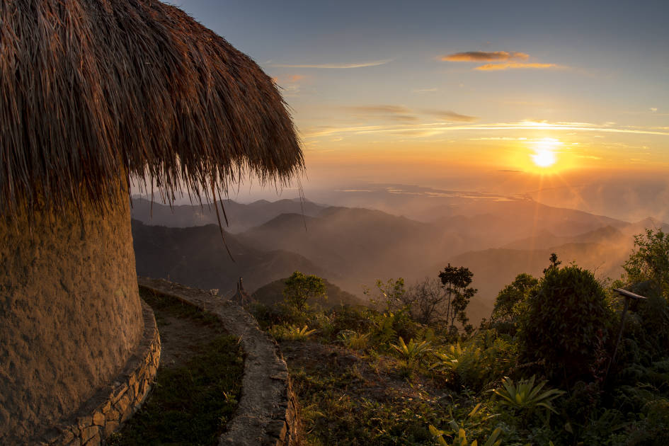
The Lost City trek has been rated as challenging. Although the ascent is not as steep as some others on this list, you’ll be contending with the high temperatures and humidity of the jungle, wading across rivers and navigating muddy paths during rainy seasons. This is a dense jungle hike - with added history.
2. The Samana Watershed Hike, Colombia
Perfect for: untouched jungle hikes
Duration: 3 days
Difficulty level: challenging
Closest airport: Medellín
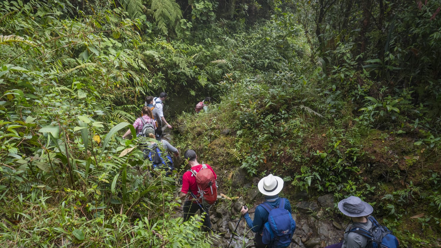
If the thought of crowded trails and busy campsites leaves you cold, then the Samana Watershed trek is the one for you. It takes you into the humid, jungle covered mountains of the Samana Watershed. Once the stronghold for leftist guerrilla group FARC, it’s now an offbeat adventure tourism destination of wild rivers, páramos, mountains and biodiverse rainforest. You’ll definitely need a guide to help you navigate it.
Head to the trailhead near the village of Pailaina (accessible only by 4x4). The path will take you deep into the jungle, where you can beat the heat by stopping for dips in natural pools along the way. You’ll emerge at the tiny hamlet of La Vereda el Porvenir, where you can stay the night in a rural homestay. The next day is a long hike through a pristine canyon, and along an impressive hill crest. On the final day you'll cross Sonsón Páramo (2700m), a tropical high-altitude ecosystem with a panoramic view of the surrounding jungle and mountains.
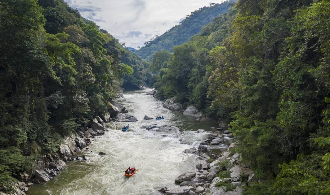
It would be a shame to leave the jungle without rafting down one of the Samana Watershed’s wild, un-dammed rivers. The Rio Verde will carry you down to the larger Rio Samana, where you’ll be treated to some epic class IV rapids.
3. Kaieteur Falls Trek, Guyana
Perfect for: chasing waterfalls
Duration: 3-4 days
Difficulty Level: moderate
Closest airport: Georgetown
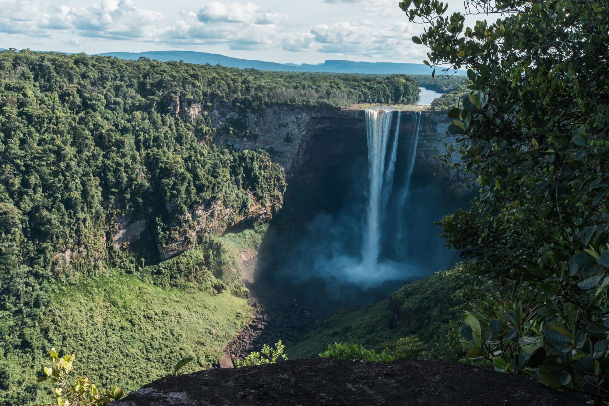
Hike through some of Guyana's most unspoilt landscapes to reach the Kaieteur Falls, the world's highest single drop waterfall (423m) in the heart of the 1.7 billion-year-old Guiana Shield. You'll need to travel by boat along the Potaro River (stopping at several smaller waterfalls en route) to reach the boundary of Kaieteur National Park.
You'll go on an adventurous trek through the Kaieteur Gorge, with steep walls rising hundreds of metres. You'll then have a scenic hike up Oh My God Mountain to Kaieteur Plateau (so nicknamed because you'll mutter 'oh my god' under your breath as you sweat your way up through the rainforest). The view of the waterfalls and surrounding environment from the top is spectacular.
While this hike is easier than others on this list, the heat and humidity of the jungle, alongside camping outdoors in hammocks, turn up the adventure dial.
4. The Salkantay Route to Machu Picchu, Peru
Perfect for: intrepid trekkers and archaeology enthusiasts
Duration: 5 days
Difficulty Level: challenging
Closest airport: Cusco
Machu Picchu is a place people travel across the world to visit. An ancient Incan city built in around 1450, it’s now a well preserved ruin in the heart of the misty Andes mountains. While Machu Picchu is accessible by road, more intrepid travellers prefer to hike there. The most popular route is via the historic Inca Trail. However, availability is limited to 500 people on the trail per day, and you’ll see a lot of other hikers on the route.
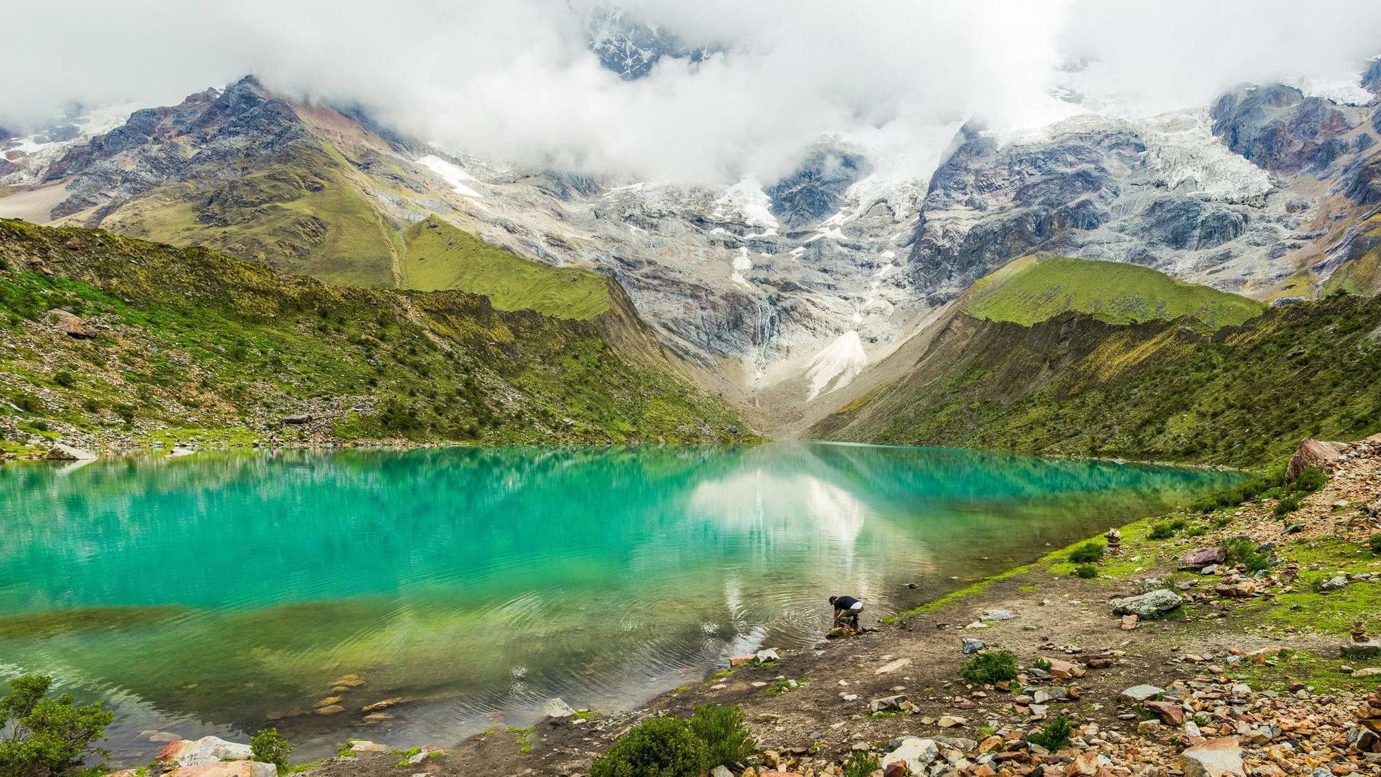
What if we told you that there was a less crowded, more scenic alternative? The Salkantay Trail to Machu Picchu begins in the Cordillera de Vilcabamba at Soraypampa (3800m) and ascends to the turquoise waters of Humantay Lake. You’ll trek high into the Andes Mountains, topping out at the rocky Salkantay Pass (4630m). The eventual descent towards Machu Picchu will take you through the highlands, down through cloud forest and rainforest.
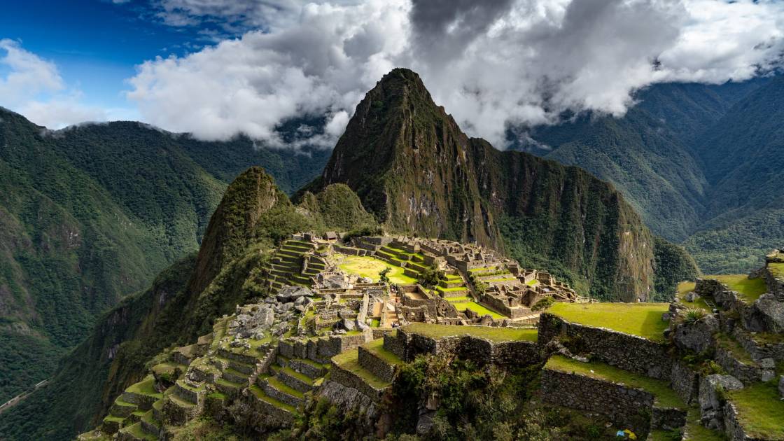
The trek is rated as challenging as it takes place over steep terrain, at high altitudes, and you could be walking up to nine hours a day. However, it requires no technical experience, just a good level of fitness.
5. The Piuquenes Pass, Argentina and Chile
Perfect for: wine-loving history buffs with strong legs
Duration: 6 days
Difficulty Level: challenging
Closest airport: Mendoza
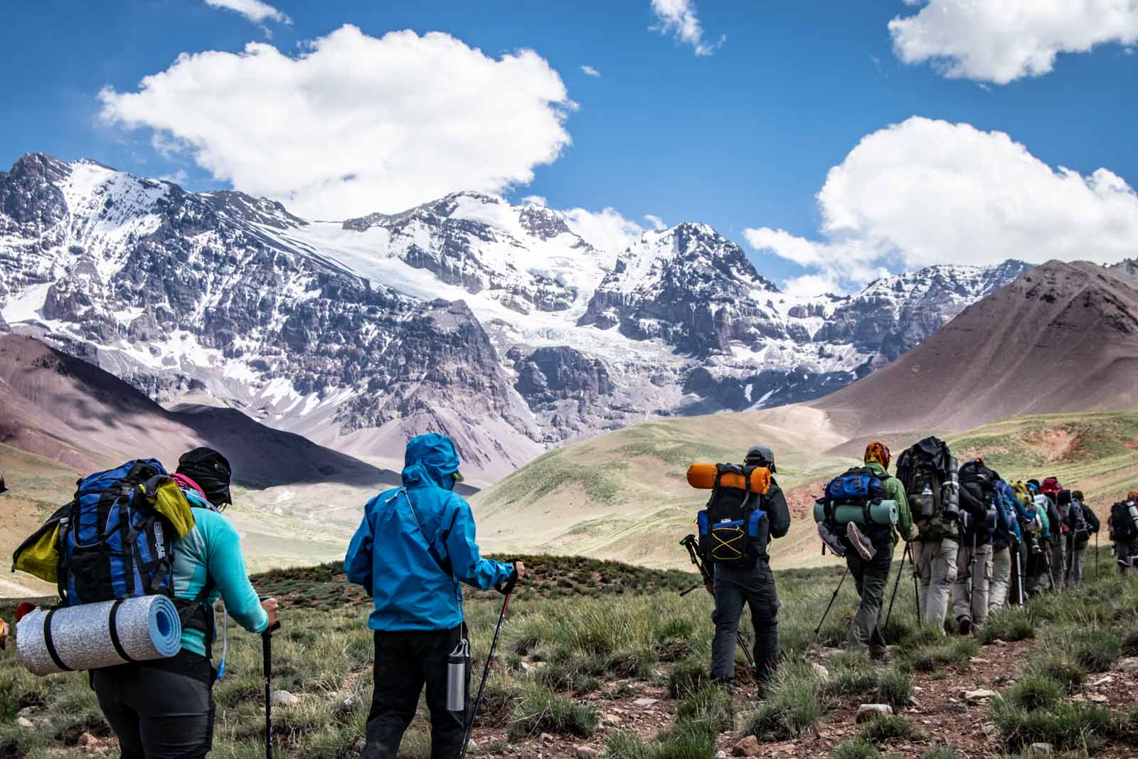
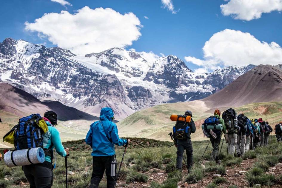
A stunning, multi-day hike that takes you up and over the Andes Mountains from Argentina to Chile. You’ll follow the Arenales River, and climb up above the cloud line until you reach Scaravelli Refuge. From here, you’ll be climbing steadily into the Andes and crossing the Portillo Argentino Pass (4380m), before descending to the Real de la Cruz Refuge to sleep. The next day, you’ll be crossing from the Argentinian to the Chilean side of the Andes using the Piuquenes Pass.
One reason we’ve selected this route is because of its historical significance. It’s the same route taken by General San Martin and his army, who crossed the Andes in order to help Chile successfully liberate itself from Spanish rule. Charles Darwin also used the Piuquenes Pass to cross the Andes while on his voyage of South America, although he travelled from Chile to Argentina. The second reason is because of the sheer scale of adventure it offers up.
“The high passes and alpine valleys that you experience in this remote region of the Andes are jaw-dropping, and the immersive nature of a wild camping journey makes the trek an extraordinarily cool way of crossing a border," Adam says. "The fact that it is very accessible between Mendoza and Santiago de Chile and just happens to start and end in the world’s best wine-growing regions is a nice bonus.”
6. The Avenue of Volcanoes Hike, Ecuador
Perfect for: aspiring mountaineers
Duration: 7 days
Difficulty level: tough
Closest airport: Quito
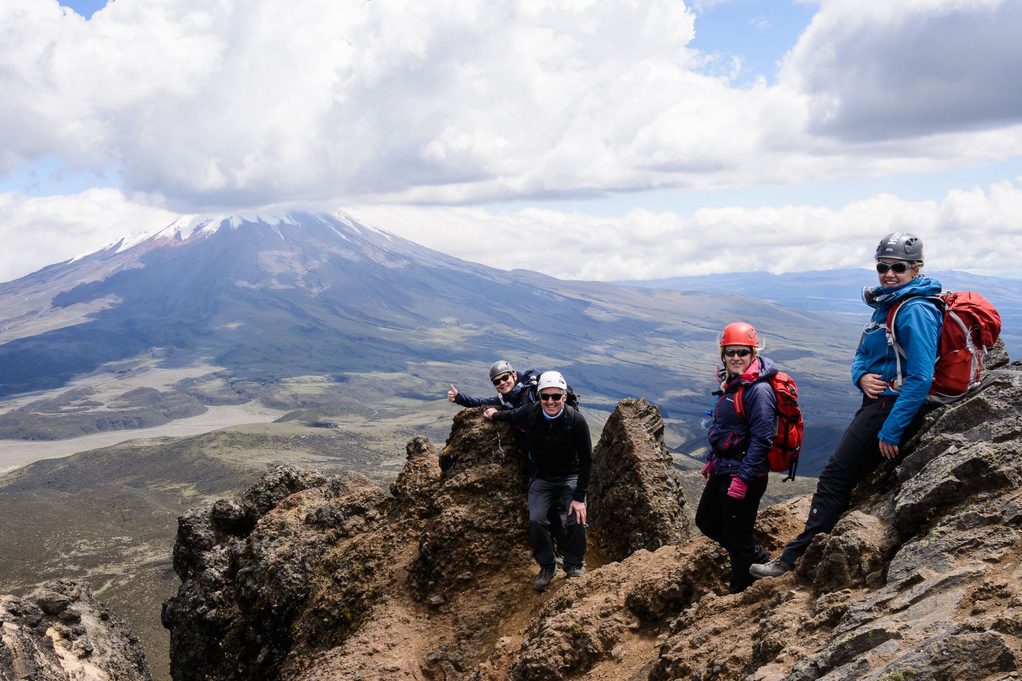
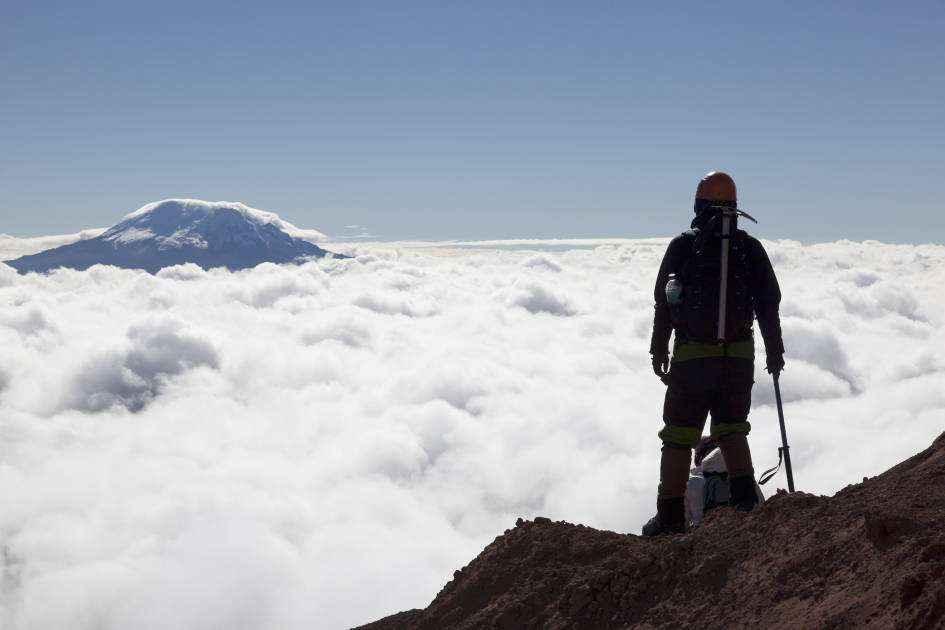
This hike takes you up to the top of some of Ecuador’s highest volcanoes, which are located on the Pacific Ring of Fire. You’ll trek through rainforests and lava fields on a mission to bag Pasochoa Volcano (4200m), Rumiñahui (4600m) and either Cayambe (5800m) or Cotopaxi (5897m) - the latter is currently closed due to high volcanic activity. In between climbing these volcanoes, you’ll be taking short acclimatisation hikes to waterfalls and remote haciendas (traditional farms), which will reduce your chances of altitude sickness.
Although you don’t need to be an experienced mountaineer to hike the Avenue of Volcanoes, you do need to be an experienced trekker, used to spending many hours on the trail. Summiting Cotopaxi and Cayambe are particularly hard, due to the extremely high altitude - you’ll also be crossing snow bridges and crevasses to reach the summit, with the support of your guide.
7. The W Trek and Bader Valley Extension, Torres del Paine, Chile
Perfect for: iconic scenery and valley scrambling
Duration: 3-5 days
Difficulty Level: challenging
Closest airport: Puerto Natales
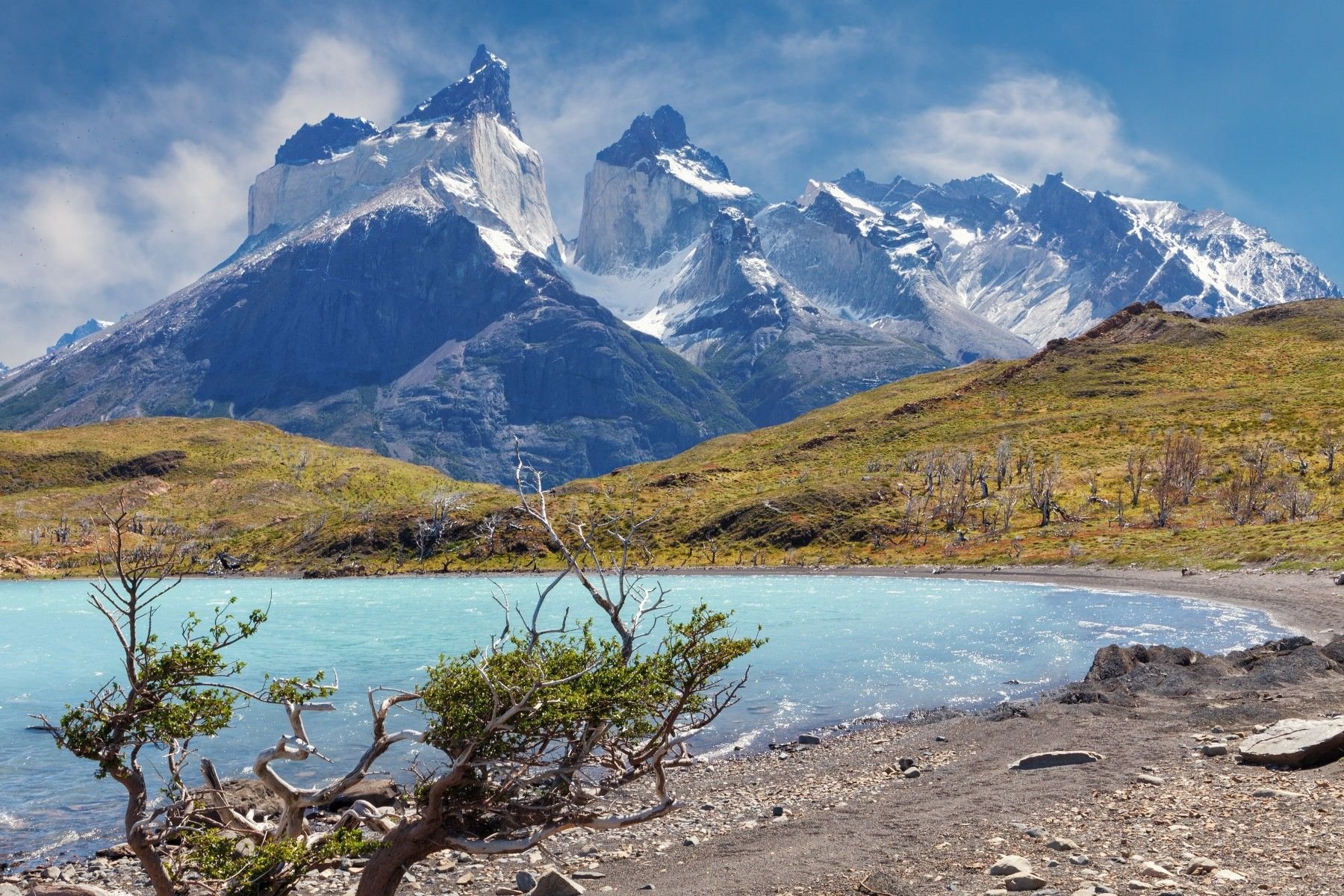
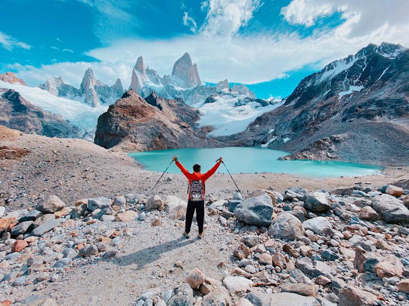
The most popular trail in Torres del Paine National Park of Chilean Patagonia is the W Trek. It takes you through the Ascencio, the Frances and the Grey Valleys, and is named for its W-shaped route. However, there is an alternative extension to the trek, which takes you completely off the beaten track and into the wildest parts of the park - the Bader Valley extension.
You’ll follow the W Trek up past Glacier Grey and Lake Pehoe. Then you’ll turn off the main trail to Bader Valley, located between Almirante Nieto and the iconic Cuernos (the granite towers that dominate the park’s skyline). You’ll camp at the very top of the valley. The next day you’ll descend and follow a path along Lake Nordenskjold, spending the evening camping on its shores. The final day of the trek will see you rejoining the W to ascend up to the Base of the Towers Viewpoint via Ascencio Valley.
“The Bader Valley is only accessible with permitted guides, giving a challenging off-the-beaten-track experience into the heart of the park, and an area that most trekkers don’t see,” Adam says. “Be ready to brave the elements when wild camping overnight at the top of the valley, tucked in between the huge granite rock faces of Los Cuernos and Monte Almirante Nieto.”
8. The Quilotoa Loop, Ecuador
Perfect for: indigenous culture and crater lakes
Duration: 2-3 days
Difficulty Level: moderate
Closest airport: Quito
Contrary to what the name suggests, this is actually a point-to-point trek. You’ll start in the village of Sigchos and trek through the Toachi Canyon, where green mountains rise up from the Toachi River. You’ll travel through the village of Chugchilán, before continuing onto Quilotoa Lake, a vast volcanic crater filled with turquoise water. Hike around the crater rim to make the most of the view.
There are some comfortable accommodation options along the route, including locally-run eco-lodges, hostels and haciendas. You’ll also be passing through small Andean villages - it’s a good opportunity to learn more about the local culture. The trek is classed as moderate, although you’ll be walking at altitudes ranging from 2895m to 3960m. To make it more challenging, add on an ascent to Chimborazo base camp - at 4000m it provides a spectacular view of Chimborazo (6310m), the highest mountain in Ecuador.
9. The Huayhuash Circuit, Peru
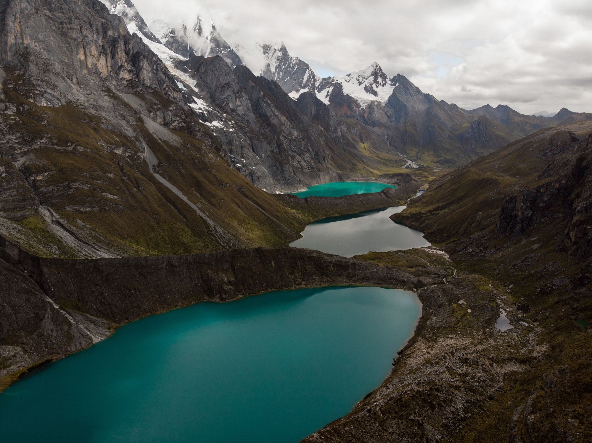
Perfect for: breathtaking Andean vistas
Duration: 10-14 days
Difficulty level: tough
Closest airport: Huaraz
Considered to be one of the most spectacular treks in South America, this 130-kilometre circuit takes you through the Cordillera Huayhuash, a compact mountain range just 30 kilometres long and 15 kilometres wide. You’ll be crossing high passes at altitudes from 4600m to 5000m, passing through remote villages, lakes and even hot springs. You’ll rarely encounter many other hikers on the trails, although you may see a few Andean shepherds.
The common start and end point for this trek is the village of Llamac. After ascending the Pampa Llamac Pass, you’ll descend to the eastern side of the Cordillera Huayhuash, and camp near the shore of Mitucocha Lake. The terrain becomes more rugged as you get further into the Cordillera - a particularly good viewpoint is from the top of Siula Pass, a panorama of snow-covered mountains and three glacial lakes, while Gran Vista (5000m) provides you with unobstructed views of the Cordillera Huayhuash. After so many steep climbs and descents, the hot springs near the campsite at Laguna Viconga will be particularly welcome.
We’ve rated the trek tough due to its length and the high altitudes you will be hiking at. The trek isn’t waymarked, so we recommend the services of a local guide, or at the very least a mule and its driver. You’ll need to take all the food and camping gear you need - the only place to get basic supplies is the hamlet of Huayllapa, halfway through the trek.
10. The Condoriri Trek, Bolivia
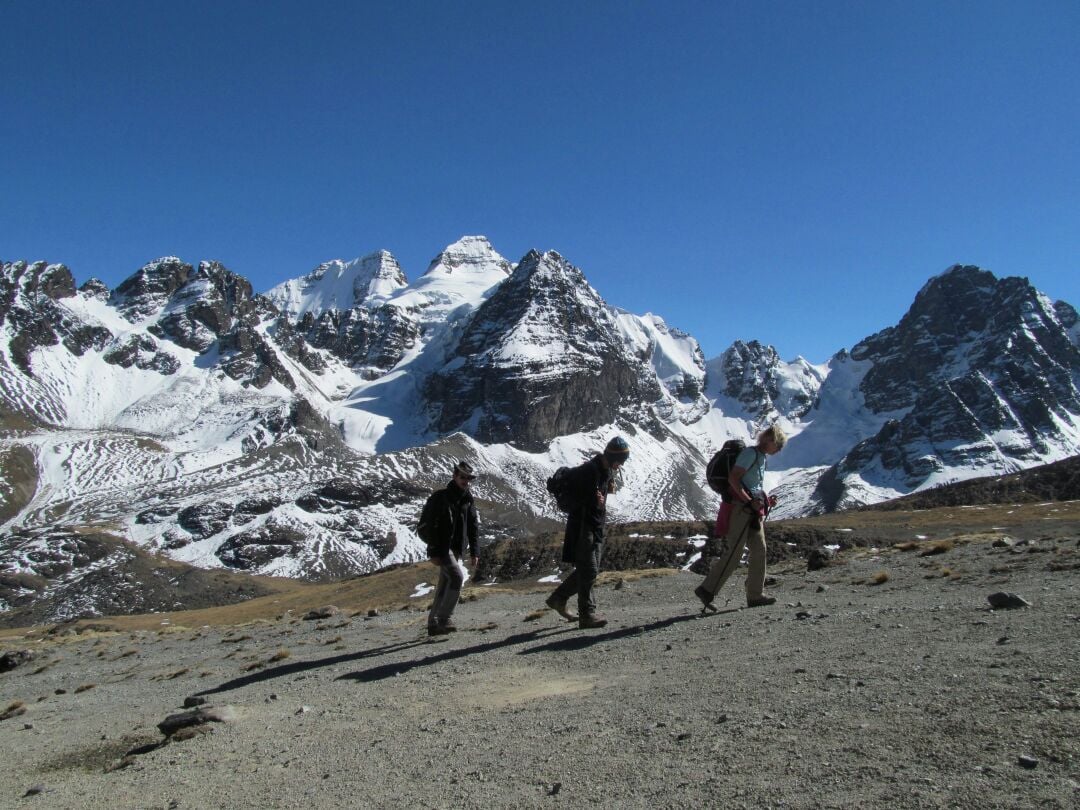
Perfect for: condor spotting and high passes
Duration:3-5 days
Difficulty Level: challenging
Closest airport: La Paz
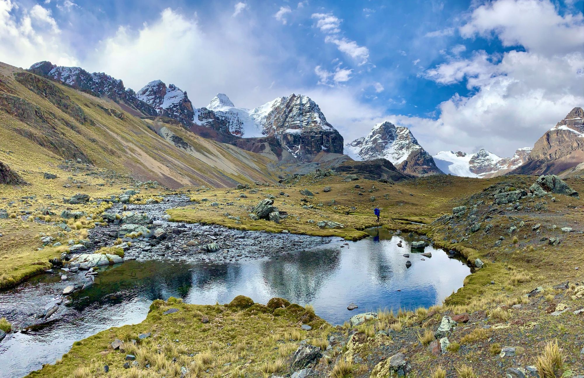
This hike takes you into the heart of Bolivia’s Cordillera Real to the Condiri region, which is characterised by its glacial lakes and snow-capped peaks. The trek starts in the small village of Tuni, and traces the rugged shores of the Tuni Lagoon. You’ll climb steeply uphill towards the Condoriri massif and cross the Pico Austria high pass (5120m), where you’ll be treated to a breathtaking view of the Cordillera Real.
You’ll continue along the trail for a couple of days, alternating between steep passes and sparkling glacial lagoons, as you head deeper into the wilderness. You’ll be wild camping and will hardly encounter a soul on the trails, although you will see alpacas, viscacha (similar to rabbits) and maybe even condors.
It’s the high altitudes that make this trek such a challenge. You’ll be crossing several passes with an elevation of around 5000 metres, and also sleeping at high altitudes, including the campsite at Wichu Khota lagoon (4680m).
11. The Chapada Diamantina Trek, Brazil
Perfect for: chasing waterfalls
Duration: 3-5 days
Difficulty level: moderate
Closest airport: Salvador
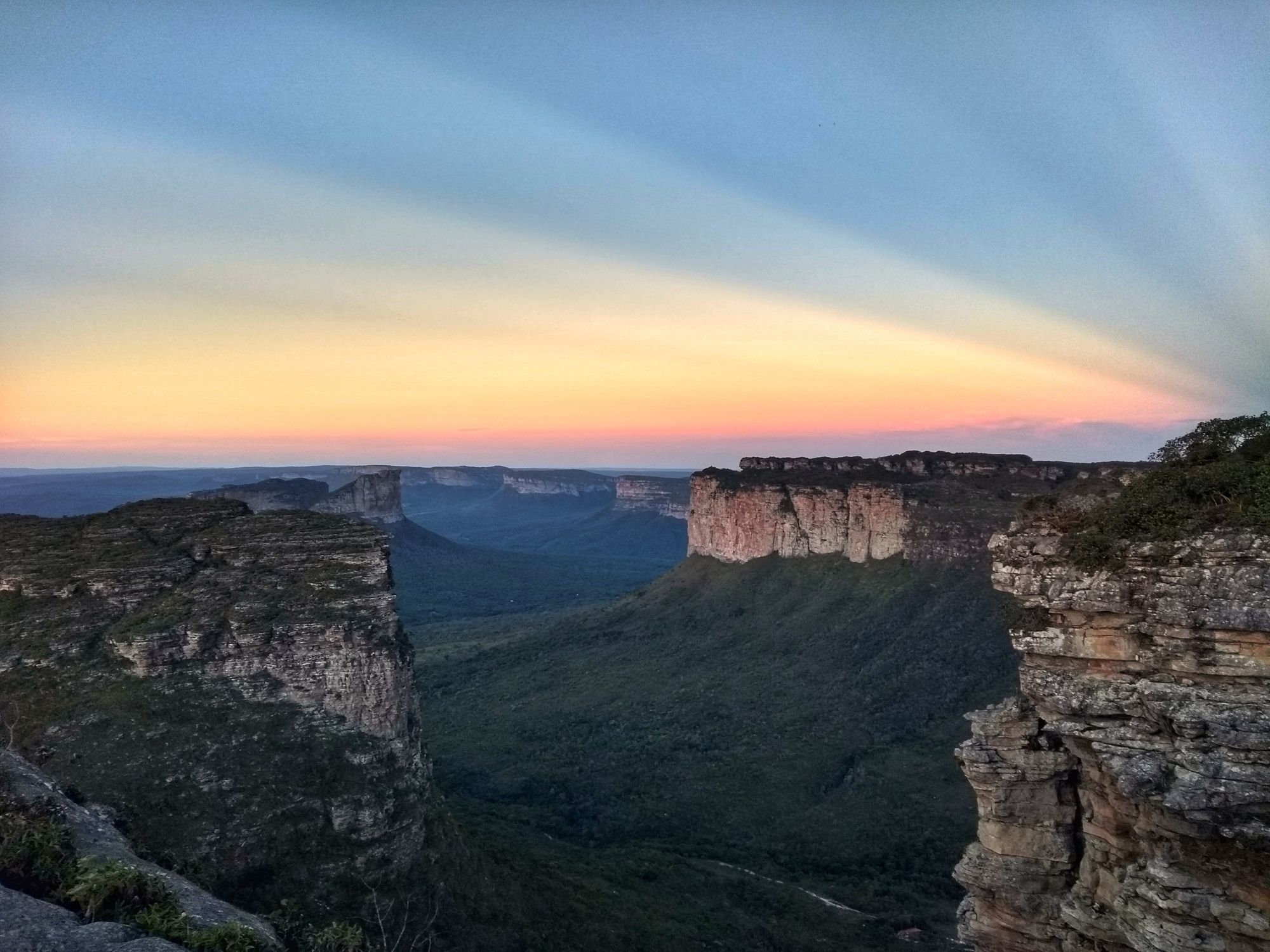
This scenic trek takes place in the Chapada Diamantina, or ‘Diamond Highlands’ - a former diamond mining area where the habitat is now restored. Expect forested valleys, gushing waterfalls and towering tepuis, or flat-topped mountains. Accommodation is in local homestays, giving you a chance to experience life in the highlands’ rural communities.
There are plenty of hikes within Chapada Diamantina National Park, ranging from several hours to seven days. If you’re looking for a multi-day trek, we recommend hiking through the Vale do Pati from the villages of Lençóis to Andarai - a route of around 70 kilometres. You’ll follow the Funis River to the Funis waterfall, before scrambling up a rocky path to the Gruta de Castelo (a cavernous quartz cave). The next day is a steep ascent to the top of Cachoeirão canyon, where waterfalls stream down the 300-metre-high canyon walls. You’ll traverse the forested lowlands of Pati de Baixo, before hiking up into the Império mountain range, for fantastic views across the valley.
The trek is classed as moderate - although there are some steep climbs, you’ll have plenty of time to take in the views, or enjoy a swim in one of the pools along the way. As this area is remote, and the track isn’t well marked, we’d recommend travelling with a local guide.
12. Santa Cruz Trek, Peru
Perfect for: an introduction to high altitude trekking
Duration: 3-4 days
Difficulty level: moderate
Closest airport: Huaraz
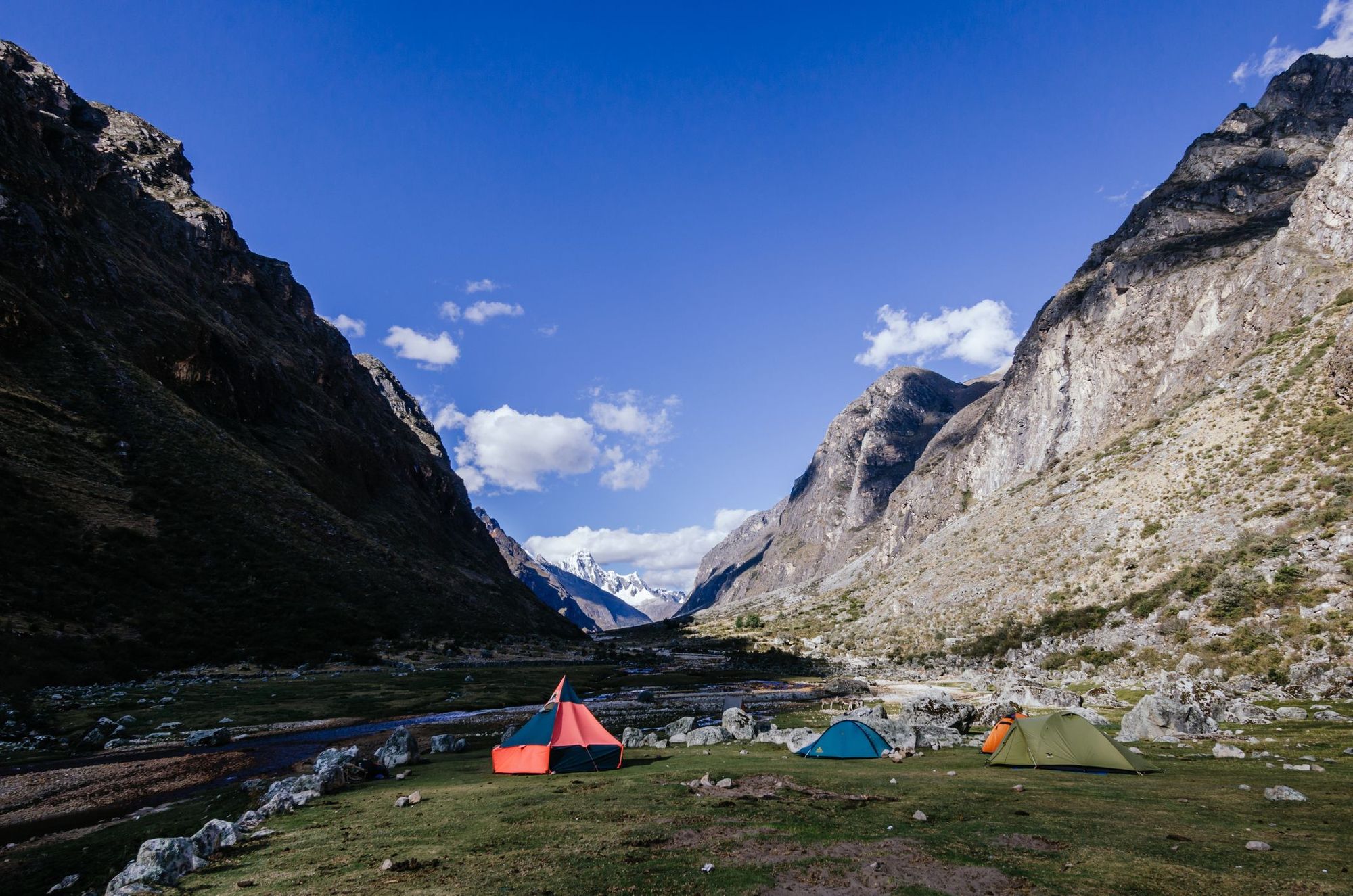
This popular hike takes you through the valleys and high passes of Peru’s Cordillera Blanca. It’s a point-to-point trek from the villages of Vaqueria (3700m) to Cashapampa (2900m). From Vaqueria, you’ll pass through the meadows of Huaripampa Valley, which is surrounded by high grassy peaks on either side. You’ll ascend up to the Punta Union Pass (4750m), where the scenery is completely different - you’ll be surrounded by rocky, snow-capped mountain ranges.
Next, you’ll hike through the stunning Santa Cruz Valley. A highlight is Lake Arhuaycocha, a high-altitude lagoon where the glacier flows directly into the lake from the mountains. The scenery changes as you follow the path of the river to Cashapampa - you’ll see trees and terraced fields on the lower slopes, flanked by steep green valley walls.
The trek is popular for its diverse scenery, and the fact that it provides a relatively easy introduction to high altitude trekking. Its accessibility also makes it popular, with many people choosing to do it independently. However, by doing so you’ll have to carry all your camping equipment with you.
13. Huayna Potosi Ascent, Bolivia
Perfect for: aspiring alpinists
Duration: 3 days
Difficulty level: tough
Closest airport: La Paz
Huayna Potosi mountain (6088m) has a reputation for being one of the easiest 6000ers in Bolivia, if not further afield. That does not, however, make it easy - it simply means you don’t require technical mountaineering knowledge to climb it. You will need to be physically fit and experienced at trekking. Be wary of tour operators who offer to take you up the mountain and down again in a day or two, as you won’t have time to acclimatise to the altitude.
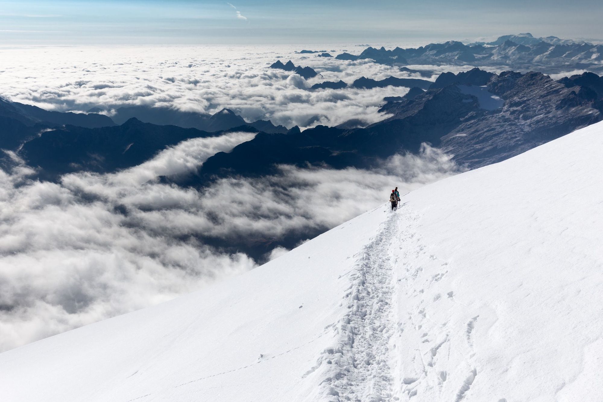
The trek starts at the Huayna Potosi Basecamp (4750m). On the first day you’ll trek to the nearby Glacier Viejo (4850m), where you’ll spend the day learning basic ice climbing techniques, such as using crampons and an ice axe. The second day involves a trek to the high camp, Refugio Rocas (5200m). It’s a short hike, but you’ll find that the high altitude leaves you feeling breathless easily.
Summit day begins long before dawn - you’ll don your gear and head out. You’ll have to navigate two particularly steep sections of ice - at 5700m and 5900m - but you will be roped up at all times. It takes around five hours to reach the summit, and another four to descend to the bottom of the mountain.
The Best Day Hikes in South America
14. La Junta Trail, Chile
Perfect for: quiet trails and unspoilt scenery
Duration: 6 hours
Difficulty Level: moderate
Closest airport: Puerto Montt
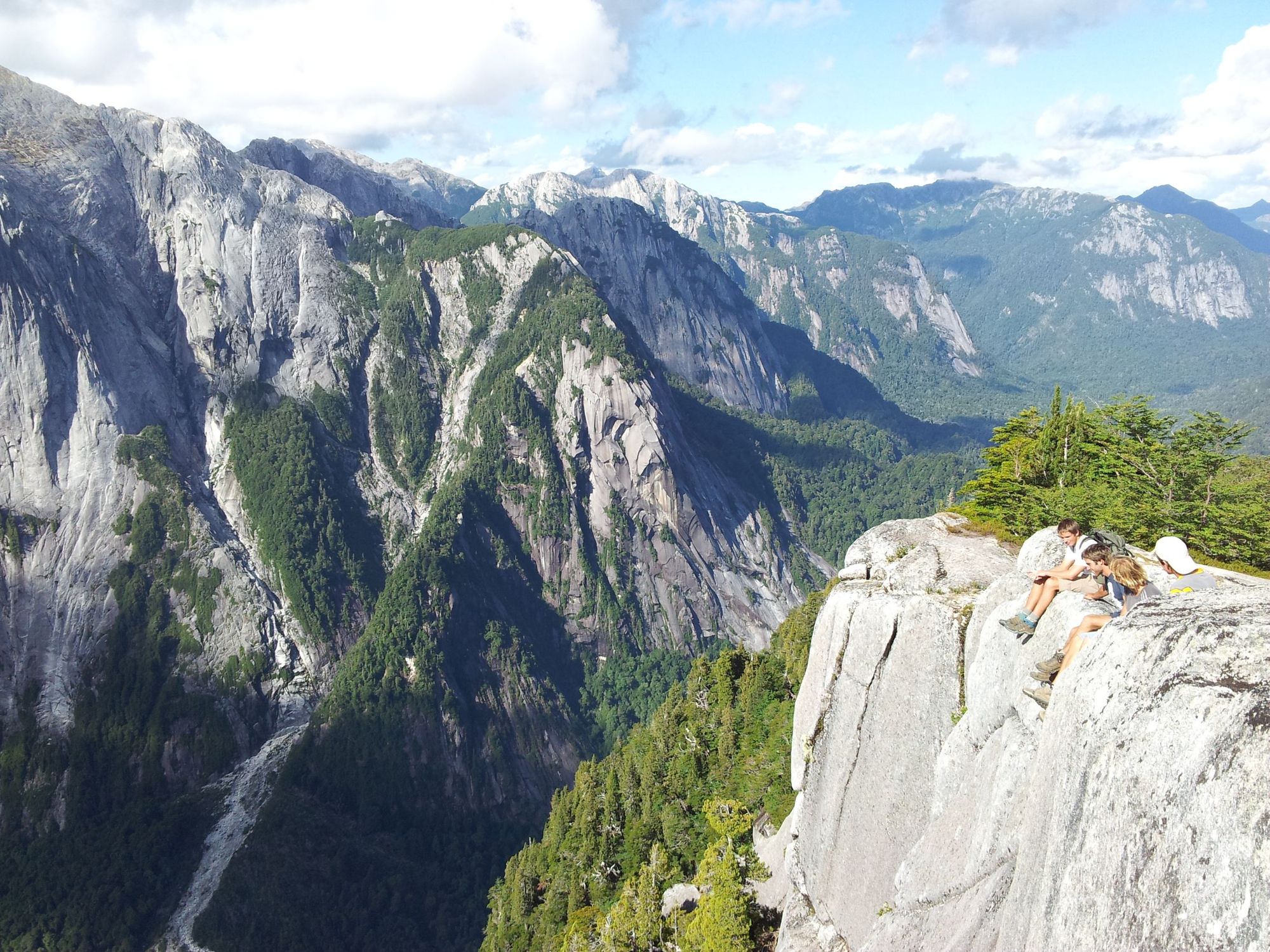
The La Junta trail takes you through the Cochamo Valley, characterised by its curved granite walls and the old growth forests that carpet the valley floor. You’ll follow the trail up a slow but steady incline (around 300 metres across the first 11 kilometres). It takes you through temperate rainforest, past waterfalls and rivers, before opening out to a clearing with a spectacular view of the granite valley walls. It’s the ideal spot for a picnic lunch.
Chances are you won’t come all the way to Chilean Patagonia just for a day hike. You could extend your trip by spending a day sea kayaking in Reloncavi Fjord, which lies at the foot of Cochamo Valley. You could even head further into Chilean Patagonia and combine it with another hike, such as the Mirador del Valle Trail (detailed below).
15. The Mirador del Valle Trail, Chile
Perfect for: mountain views
Duration: 5-6 hours
Difficulty Level: moderate
Closest airport: Bariloche
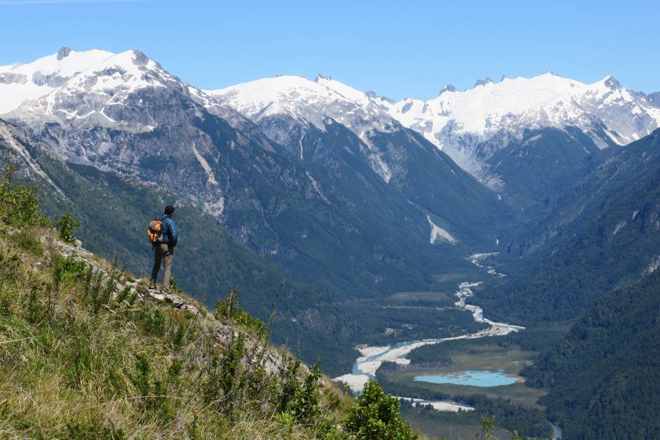
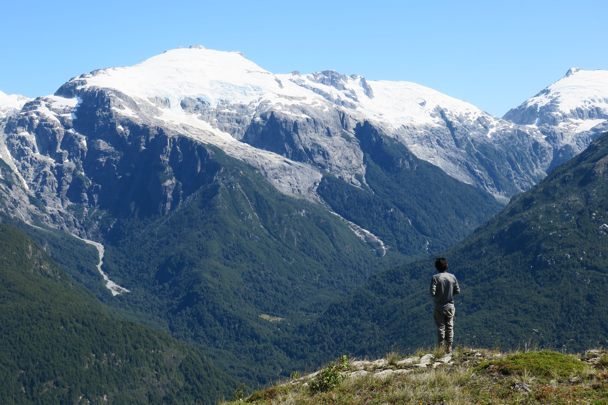
The Mirador del Valle Trail is located in El Rincon Bonito, ‘the beautiful corner’, in Chile’s picturesque Lake District region of northern Patagonia. Over the day’s hike, you’ll have around 900 metres of ascent. You’ll hike through different types of ancient forest, until the path rises above the treeline and offers up breathtaking views of El Rincon Bonito.
“If one trekking route sums up the natural wonder of Patagonia then it must be this one,” Adam says. “It ascends from the eco-lodge on the valley floor and climbs upwards on a muleteers track, weaving through ancient forest before arriving at an alpine crest. Here you can pause and breathe in the peaceful solitude. There are spectacular views over the glaciers and mountain peaks that decorate this slice of Andean paradise.”
16. Sierra Negra Volcano Hike, Galapagos Islands
Perfect for: lava lovers
Duration: 6-7 hours
Difficulty level: moderate
Closest airport: Baltra
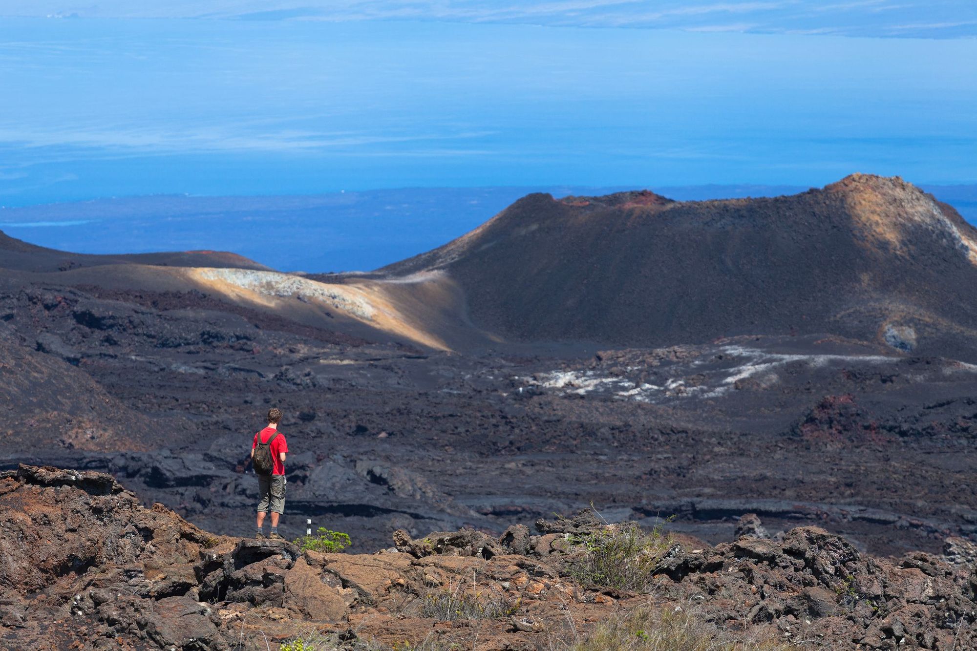
Sierra Negra, which translates to ‘Black Mountain’, is an active shield volcano in the Galapagos Islands, which erupted as recently as 2018. After a couple of hours’ trekking through lava fields carpeted with ferns and foliage, you’ll ascend to the rim of the crater. Take in the views of one of the world’s largest calderas - on a clear day you’ll be able to see all the way to the ocean.
Keep on going past the viewpoint and you’ll enter the otherworldly volcanic landscape of Lava Nueva. You’ll see volcanic fissures and vents as you hike over the barren lava, which is coloured rust-red and black. It’s an easy descent after this, and just a short drive to the nearest beach.
The trek is marked as moderate, but be prepared for changeable weather. Drizzling rain makes the terrain more slippery, while on clear days the lava reflects the heat of the equatorial sun.
17. Quebrada de Humahuaca, Argentina
Perfect for: otherworldly desert landscapes
Duration: 3-4 hours
Difficulty Level: moderate
Closest airport: Salta
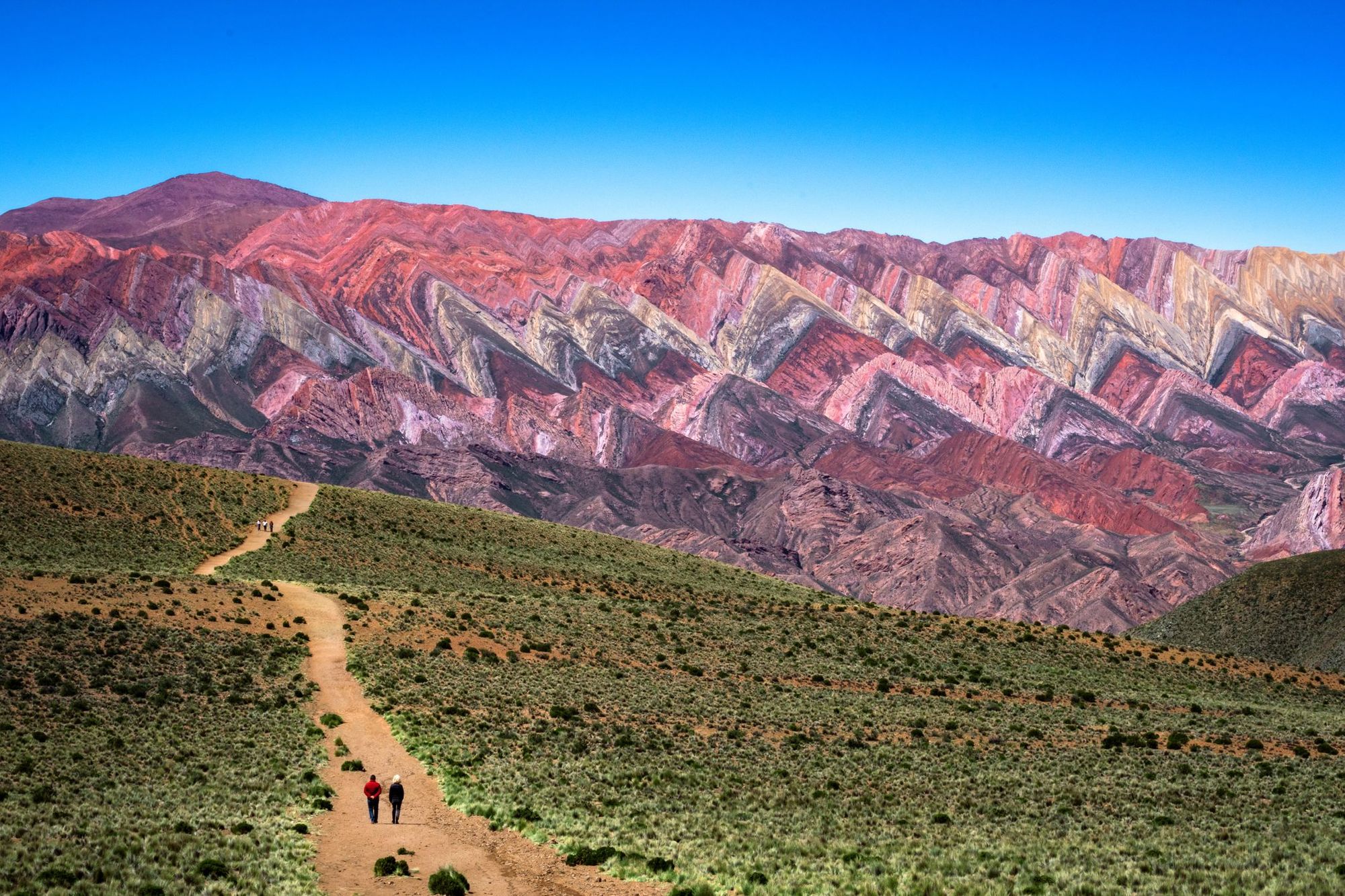
Quebrada de Humahuaca is an 155-kilometre-long mountain valley, characterised by its desert scenery, high-altitude Inca villages and mountains striped in mineral colours. There are plenty of hiking trails in the area - we recommend taking the one to Mirador Serranía de Hornocal, a viewpoint where you can see the rainbow coloured Hornocal Mountains.
“Hiking in northern Argentina’s Quebrada de Humahuaca gorge feels as close as it gets to walking on another planet,” Adam says. “Deserts, surreal rock formations, cacti and multicoloured mountain ranges make this a fascinating and picturesque place to get out and explore nature. Looking out over the Hornocal Mountains, aka Argentina’s rainbow mountain, is a highlight.”
18. Ilha Grande, Brazil
Perfect for: beach lovers
Duration: 3-6 hours
Difficulty level: easy
Closest airport: Rio de Janeiro
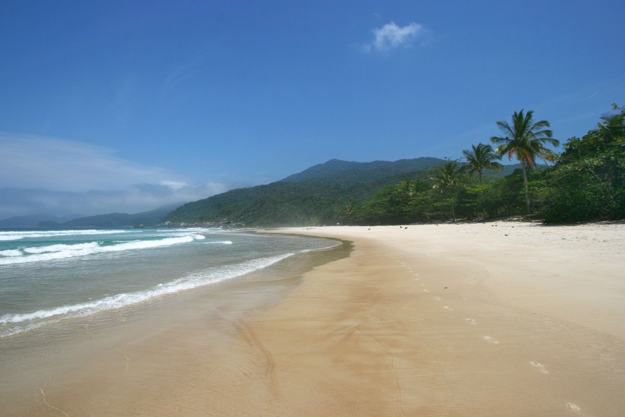
Ilha Grande is an island located off the coast between Rio de Janeiro, carpeted in Atlantic forest and ringed with some of Brazil’s best beaches. Only a short ferry ride from Rio, it’s a popular weekend getaway, but the miles of hiking trails that criss-cross the island are quiet and well waymarked. All but one trail takes you through the jungle to the island’s beaches, so you can look forward to a dip in the sea when you arrive.
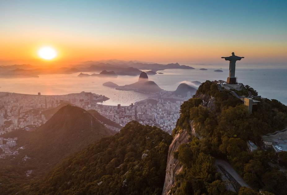
There are 16 trails in all (T1-T16), ranging from 1.2 kilometres to 12 kilometres, which can be hiked separately or linked together as part of a multi-day circuit. Base yourself at the main town of Abraão and take the T10 through the jungle where marmoset monkeys swing through the trees, over the hill and down to Pousa Beach. Keep walking for another kilometre or so (along T11) and you’ll reach Lopes Mendes Beach, a three kilometre curve of golden sand which is often cited as one of Brazil’s best beaches. You can catch a return boat back to Abraão.
19. Perito Moreno Glacier Trail, Argentina
Perfect for: chilling out
Duration: 4-5 hours
Difficulty level: easy
Closest airport: El Calafate
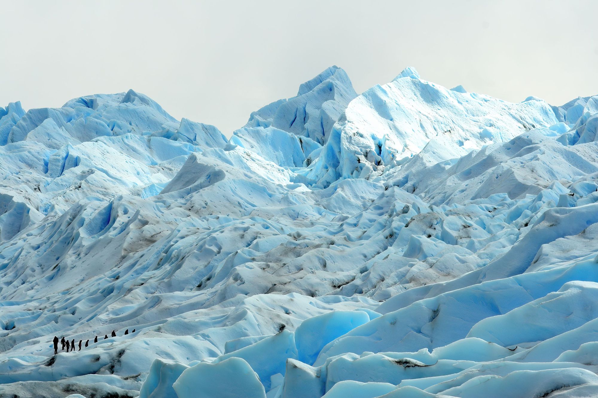
This is the most popular day hike in Los Glaciares National Park. You’ll be hiking across the stunning Perito Moreno Glacier, which is one of the only glaciers in the world to be growing instead of shrinking. You’ll take a ferry across the scenic Brazo Rico and cruise right past the glacier, which rises up 74 metres from the water. If the conditions are right, you might see the glacier calving, pieces of it breaking off and splashing into the water.
You’ll disembark the ferry and gear up with crampons, helmet and an ice axe. There are two trek options on the glacier, the Mini Trekking Tour (1.5 hours on the glacier) and the Big Ice Tour (3.5 hours on the glacier) - we recommend the latter. You’ll walk through the moraine until you reach the beginning of the ice. Then it’s time to strap on your crampons and set foot on this unique terrain. You’ll encounter brilliant blue pools, sheer crevasses and deep caves as you explore.
20. The Pedra do Sino Trail, Brazil
Perfect for: budding naturalists
Duration: 6-8 hours
Difficulty level: moderate
Closest airport: Rio de Janeiro
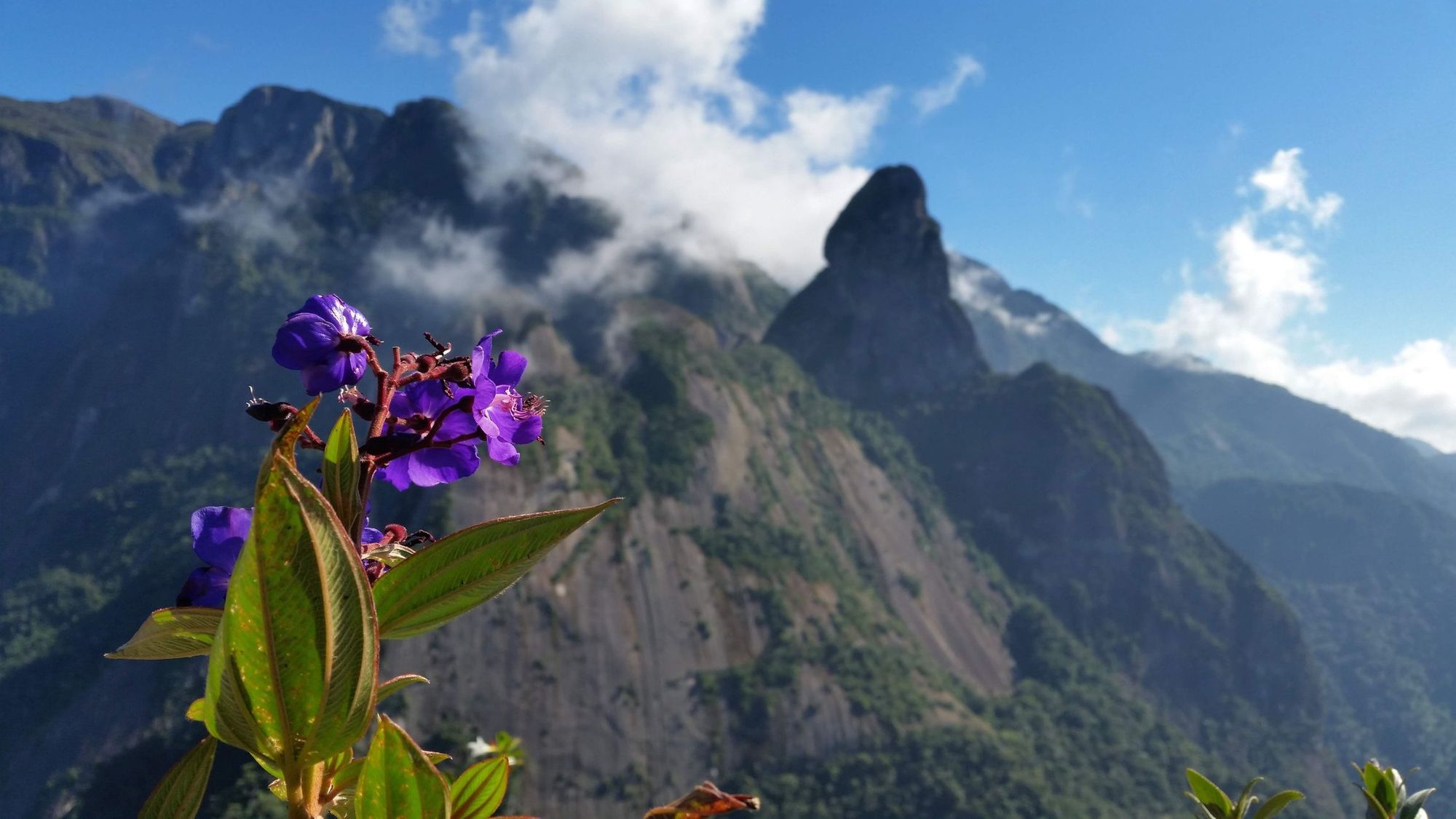
The Serra dos Órgãos (Organ Pipe Range) is a series of distinctive jagged peaks which rise upwards like the organ pipes in cathedrals from the rainforest. Pedra do Sino, or ‘Rock Bell’, is the highest mountain in the range at 2275m, and there’s a 12 kilometre trail to the top (24 km there and back).
You’ll make your way through one of the most biodiverse areas in Brazil, passing through lowland rainforest and cloud forest bursting with rare orchids and bromeliads, alongside hundreds of bird species. Above 2000 metres the landscape unfolds into high altitude fields studded with boulders. The view from the summit will give you a bird’s eye view of these glorious landscapes.
Many hikers travel down from Rio de Janeiro (100 kilometres away), do the hike and return on the same day. But we’d recommend camping overnight in the park, so you can stay immersed in nature for a little while longer.
FAQs
What are some of the best multi-day hikes in South America?
Some of the best multi-day hikes in South America include the infamous W Trek in Chilean Patagonia, Peru’s Huayhuash Circuit and the Inca Trail. However, there are also some fantastic lesser known hiking trails, including the Salkantay Trek (an alternative route to Machu Picchu) and Ecuador’s challenging Avenue of Volcanoes hike.
What are some of the best day hikes in South America?
The best day hikes in South America depend upon your interests and experience level, as well as what landscapes you want to experience. You’ll see rainbow-coloured mountains on the Mirador Serranía de Hornocal hike in Argentina, while beach lovers will enjoy the trails on Brazil’s Ilha Grande. There are plenty of day hikes in Patagonia’s national parks, including the Perito Moreno Glacier Trail in Los Glaciares National Park.
How hard is the W Trek in Patagonia?
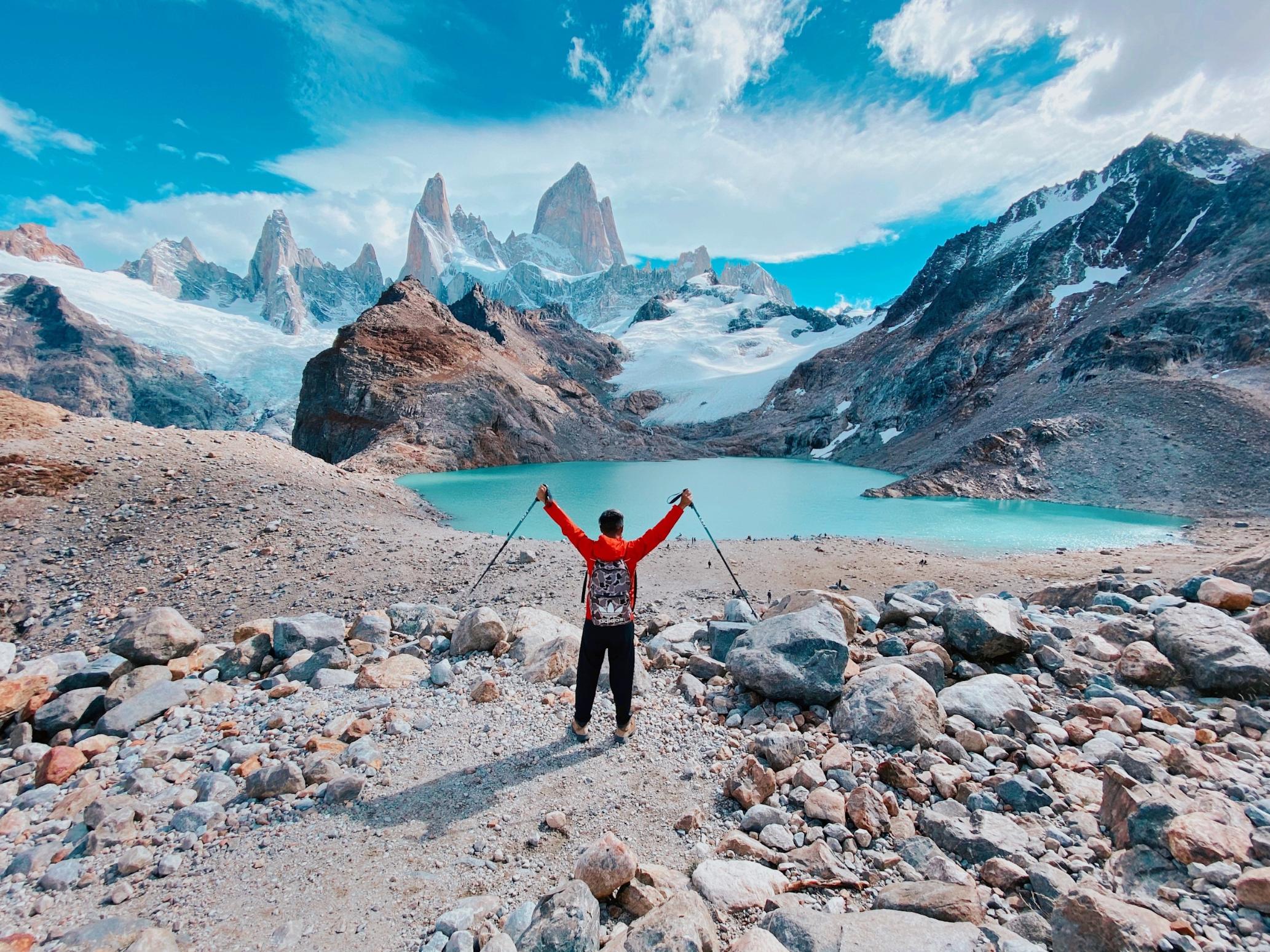
The W Trek is a challenging multi-day hike. You’ll need to be able to hike for five to eight hours per day over rocky terrain, with several steep climbs. Those hiking independently will also need to carry all their own camping gear. The trail is well marked and non-technical, but Patagonian weather adds an extra challenge, with strong winds and sudden storms.
How Long is the Salkantay Trek?
The Salkantay Trek is 46 miles (74km) long and takes around 5 days to complete. It starts in Mollepeta and finishes in the town of Aguas Calientes, near the famous site of Machu Picchu.
When is the best time of year to go trekking in South America?
The best time of year to go trekking in South America depends on the region you plan to explore, due to its vast geographical and climatic diversity. The best time to trek in the Andes is during the dry season from May to September. But the best time to trek in Patagonia is between November to March (summertime in the Southern Hemisphere). The best time to trek in the Amazon Basin is between June to October, which is when there is the least rainfall.
Inspired? Then check out our next-level treks in South America, run by expert local guides.

