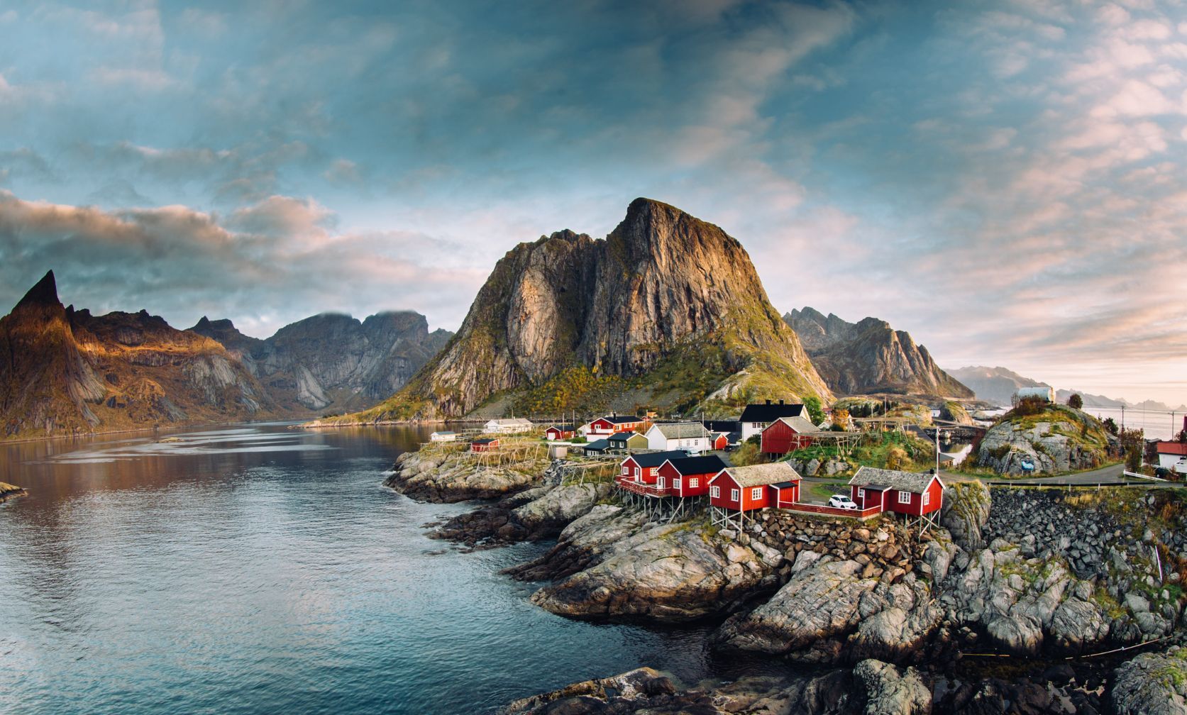
The Lofoten Islands are located off the northeast coast of Norway, above the Arctic Circle, and they’re world famous for good reason. They're absolutely beautiful. Surrounded by the stormy waters of the Norwegian Sea, the splatter of connecting islands are made up of rugged mountains, deep fjords, picturesque little fishing towns, colourful coastal huts and beautiful, long beaches with frankly incredible views.
Words are great, but with the Lofoten Islands, the pictures do the talking.
That’s why we decided to make our guide to visiting the Lofoten Islands a photographic guide - to really set off your wanderlust. We’ll cover specifically where the Lofoten Islands are, how to get to the Lofoten Islands, where to stay and when to go, as well as point you in the direction of some mighty fine adventures to have when you finally get there, from fishing trips, mountain hikes and rock climbing, to football matches, cycling and making the most of the midnight sun, or spotting the northern lights flickering up in the sky.
Islands in Norway
Norway has more islands than any other country in the world aside from Sweden - a whopping 239,057 at last count. They range in size from Spitsbergen, an Arctic island of 37,673 sq km, to tiny, uninhabited islets that dot the country's glacial fjords.
The Lofoten Islands are a particularly popular group of islands in Norway. This picturesque archipelago consists of five main islands - Austvågøya, Gimsøya, Vestvågøya, Flakstadøya, and Moskenesøya - as well as the southern tip of Hinnøya island. Vestvågøy island was originally named Lófót, because its shape looked like a lynx’s foot (“ló” translates to “lynx” and “fót” means “foot”), which is how the archipelago got its name. In between these larger landforms you'll find hundreds of smaller islets (known as skerries), which are ideal for wild camping if you're on a canoe expedition.

Where are the Lofoten Islands?
The Lofoten Islands are an archipelago about 50km to the west of mainland Norway, and 300km above the Arctic Circle. The islands are formed of seven municipalities - Vågan, Vestvågøy, Flakstad, Moskenes, Værøy, and Røst - and the major islands, from north to south, include the southern tip of Hinnøya, southern half of Austvågøy, Gimsøya, Flakstadøya and Moskenesøya. These islands are connected by bridges, while the smaller islands of Værøy and Røst, more isolated to the south, are reachable only by ferry.
At 68 degrees north, the Lofoten Islands are around the same latitude as Greenland, but the islands enjoy a much milder climate thanks to the warm Gulf Stream.
In total the archipelago of the Lofoten Islands runs around 150km in length and is separated from the Norweigan mainland by the mighty Vestfjord, which is 90km wide at the mouth, and runs all the way back to Narvik. The beauty of the area has inspired artists from writers Edgar Allan Poe, Knut Hamsun and Jules Verne to painters Otto Sinding, Adelsteen Normann and Gunnar Berg, the latter of whom was renowned for capturing the modest lives of local fishermen, and the stunning surroundings in which they worked.
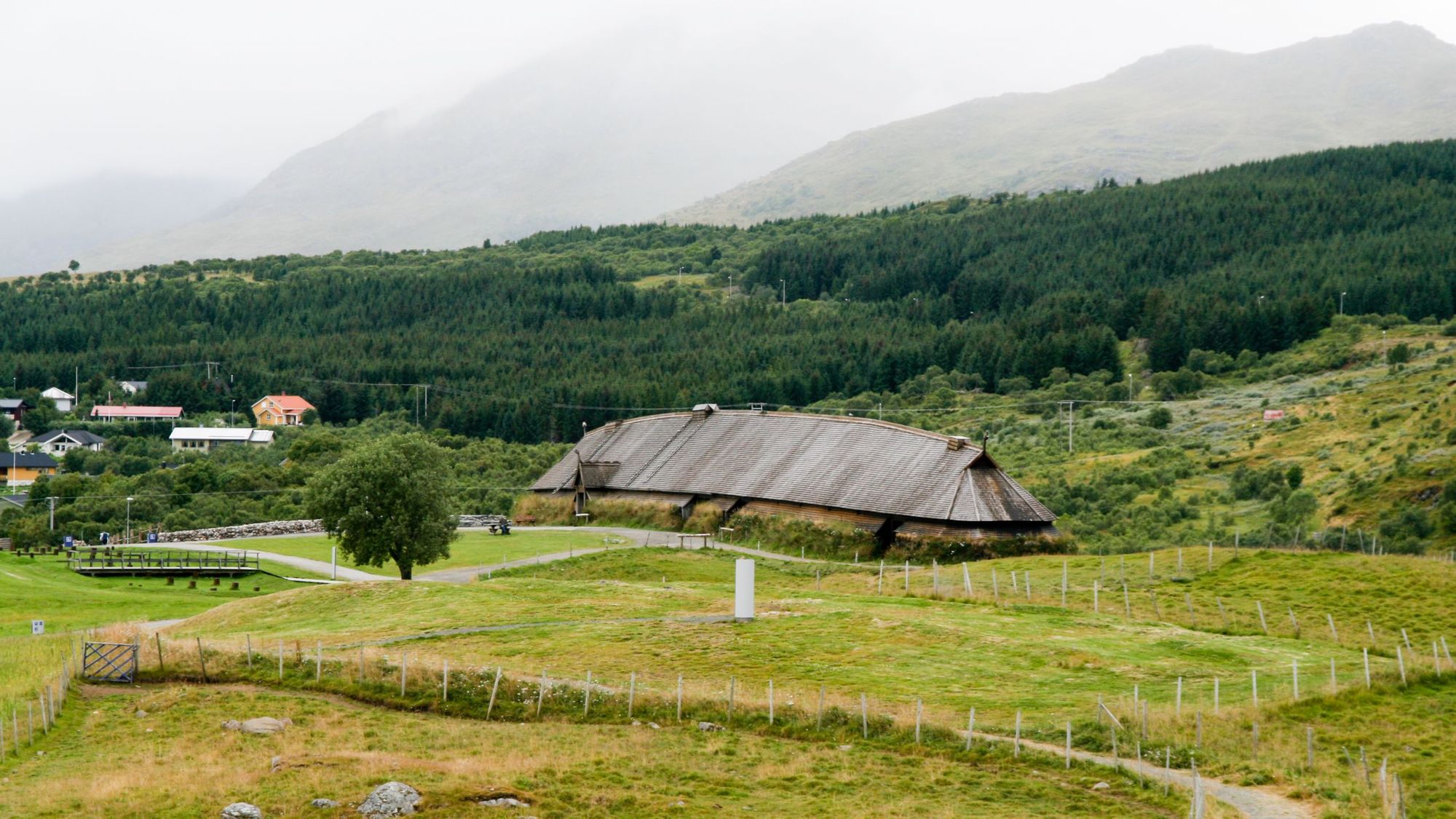
There is a strong Viking history in the Lofoten Islands. The town of Vågan was actually the first known town formation in northern Norway, and in Borg on Vestvågøy, back in 1983, architects discovered the largest Viking longhouse ever discovered from the Viking Era. The 83-metre building has since been reconstructed, and is now the home of the Lofotr Viking Museum.
How to get to the Lofoten Islands?
You can drive right onto the Lofoten Islands thanks to all those connecting bridges - but remember, it is pretty far north (around 750km from Oslo), so it'll take more than a day of driving. You will also still need to take a ferry if you’re visiting the more southerly islands, but the drive itself is beautiful. A more common option with a car is to drive to Bodø, still 16 hours from Oslo, and then take the ferry or express boat to the islands.
For those without a car, several airlines fly into Bodø, the gateway town to the Lofoten Islands, and you can fly from Bodø to some of the islands on the Lofoten archipelago. It’s a one and a half hour flight to Bodø from Oslo.
By train, you'd be looking at going from Oslo to Trondheim, then transferring to the train to Bodø. That'd take around 17 hours in total. Then you’d catch a ferry or express boat onwards.
Where to stay in the Lofoten Islands?
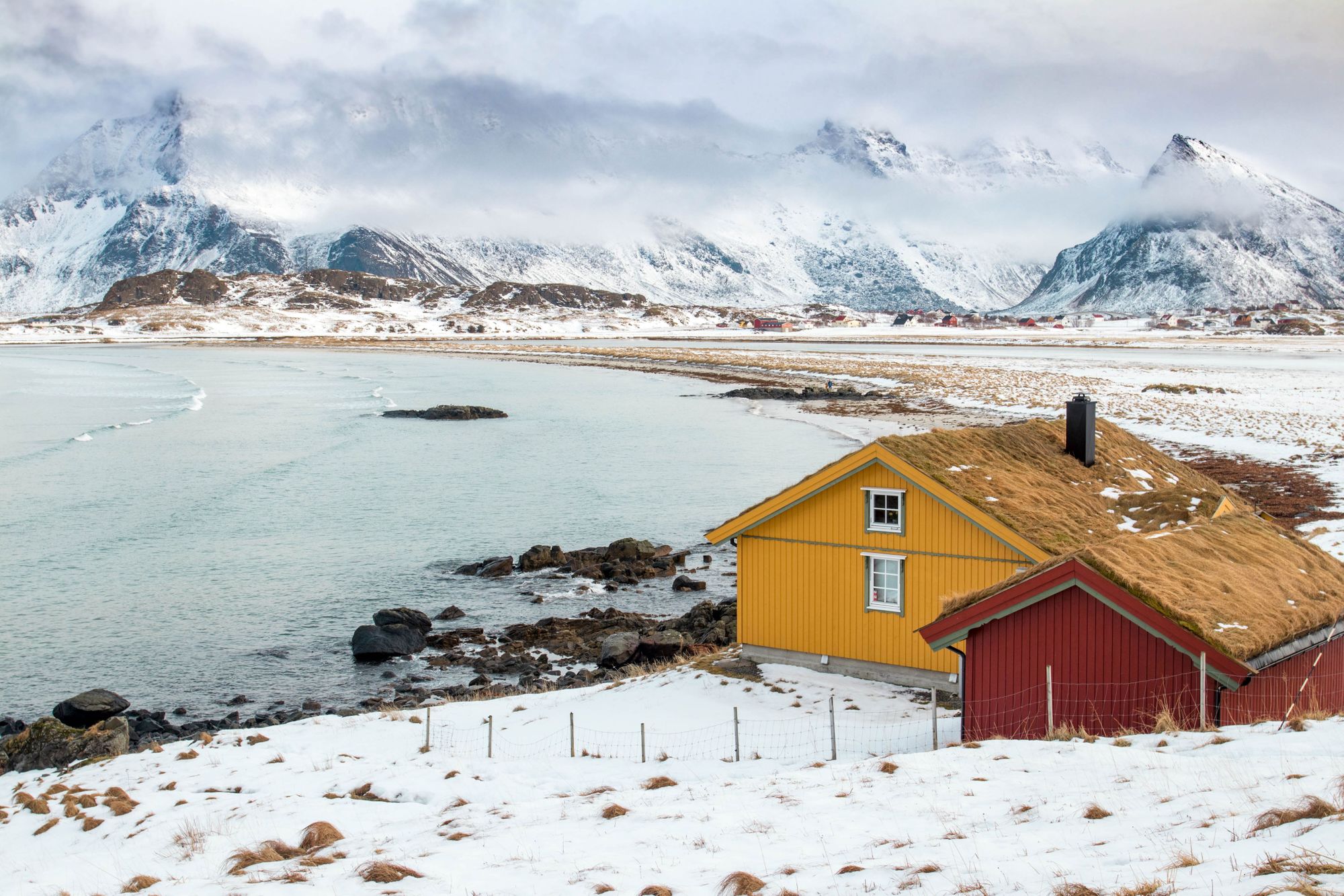
There are various accommodation options in the Lofoten Islands but the islands are best known for the red fisherman’s cabins (known as ‘rorbuer’), which have been restored and turned into accommodation for travellers, and which tend to have stunning views on the edge of the water. Of course, there are also grander hotels, stunning forest glamping options and there are camping sites around the Lofoten Islands. Wild camping is also legal almost everywhere in Norway, so there are some stunning possibilities for one-night accommodation outdoors across the islands.
When to go to the Lofoten Islands?
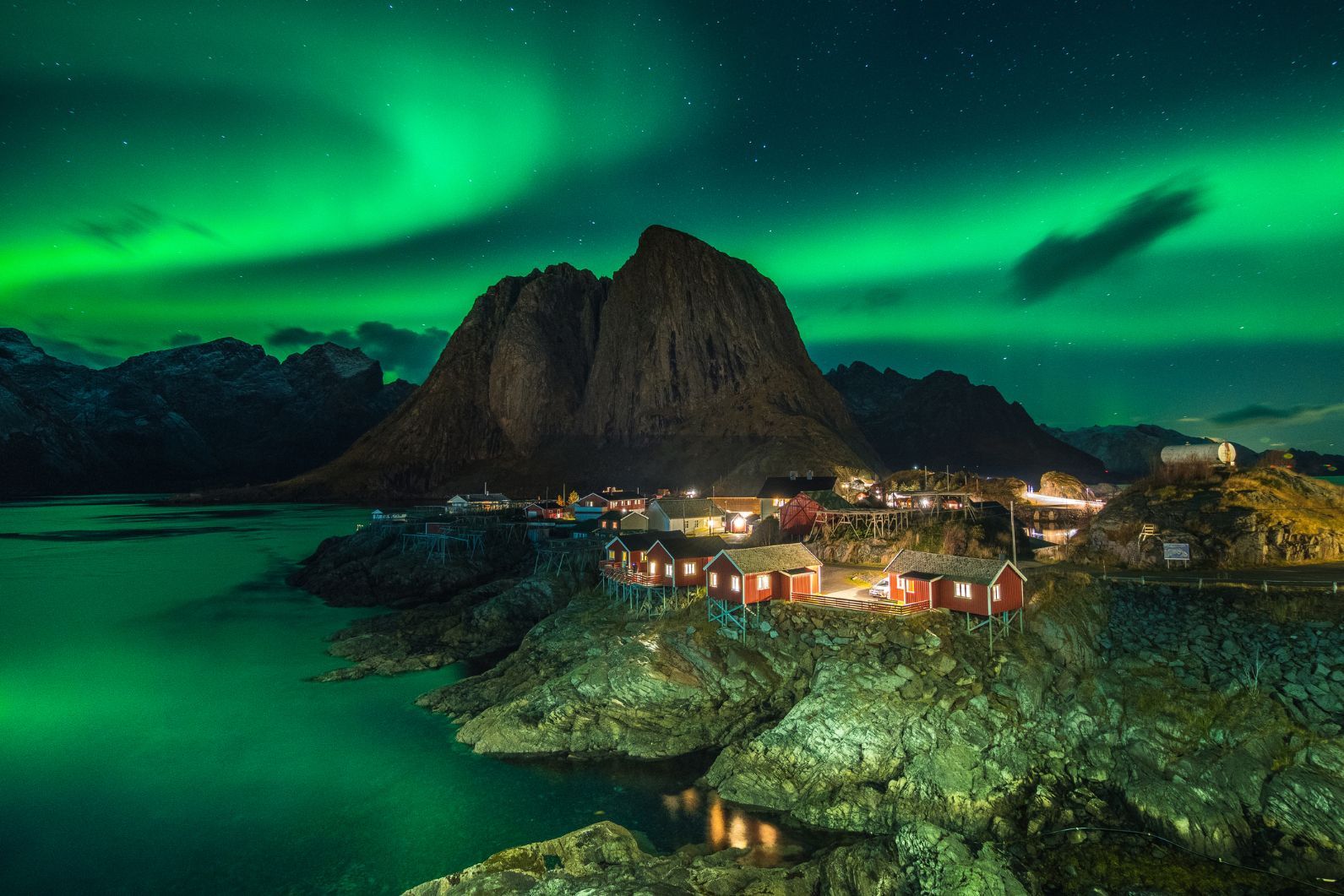
This is a more important question than you might think, remembering how far above the Arctic Circle the Lofoten Islands really are. You should go in late May to mid July if you want to experience the Midnight Sun, when the sun doesn't set, while the northern lights are best viewed from September to April, when the mountains are snow-capped.
July or August give you the best chance of good weather and of making the most of all the outdoor and adventure possibilities, though of course, they’re also the busiest times, and so there will be a lot of other tourists and travellers around.
What to do in the Lofoten Islands?
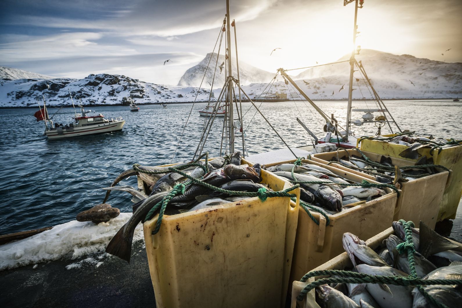
They're certainly remote but if you love the outdoors, then there’s really no lack of activities to do on the Lofoten Islands. The main reason the islands are inhabited and have been for so long is really because of the fish, and there are various options for heading out to go fishing in Lofoten. You certainly don’t have to be a master fisherman to catch your dinner out here.
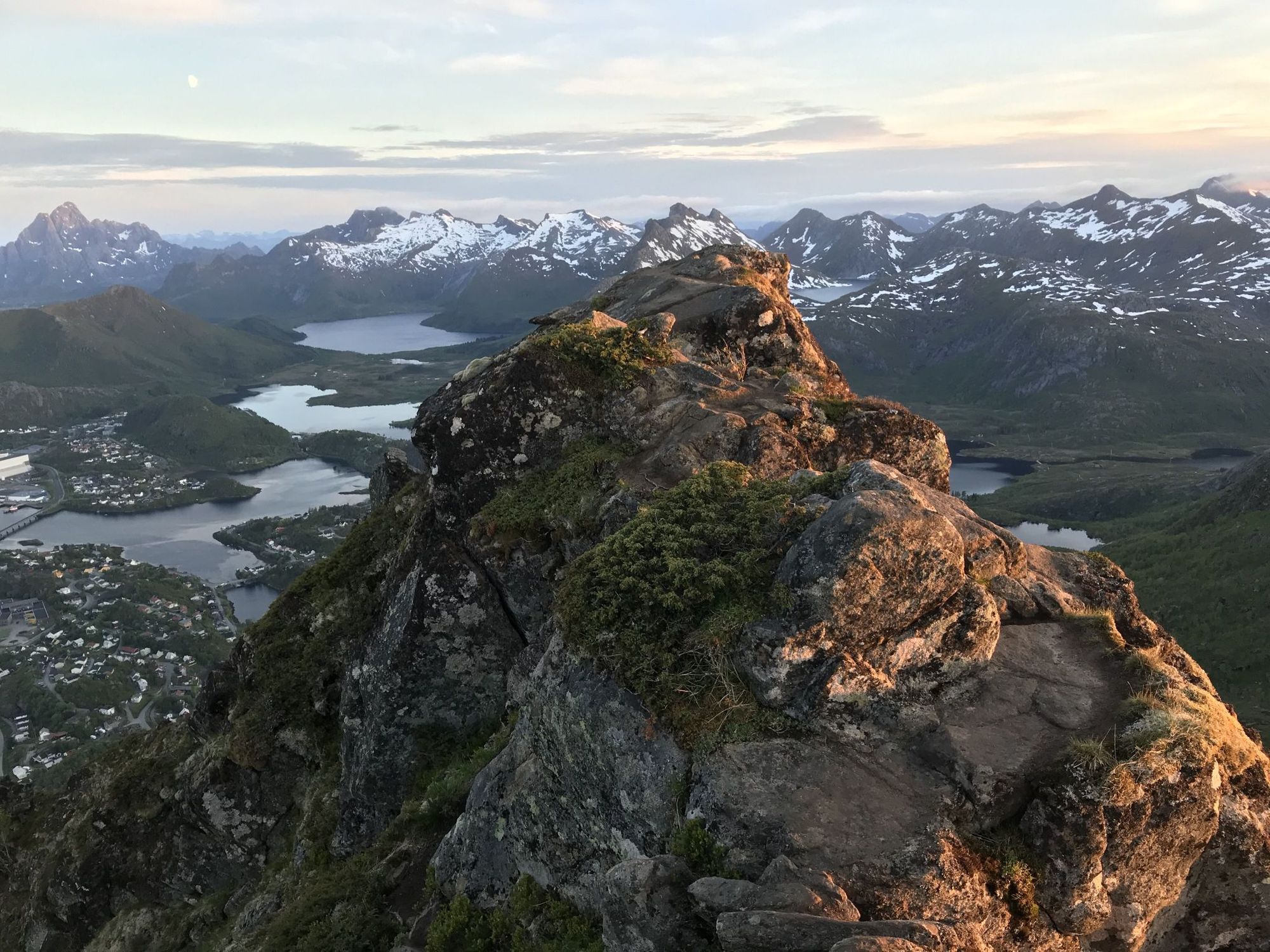
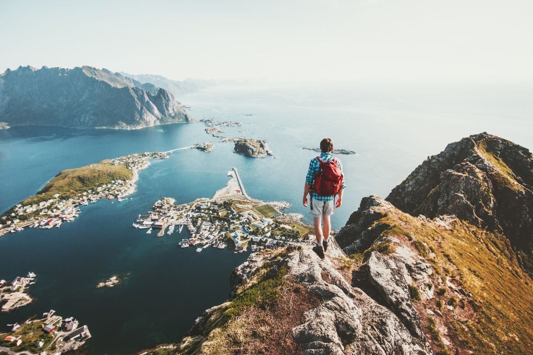
With great scenery comes great hiking and the Lofoten Islands are no exception to that rule. The best hikes in the Lofoten Islands take you to panoramic viewpoints. It’s hard to beat the climb up to the summit of Justadtinden (738m), one of the the highest peaks in Lofoten, while the hikes around Selfjord, along the coastal peaks of Moskenesøya Island, and up to the popular Reinebringen peak (pictured below) are also spectacular. Of course, we’re only grazing the surface.
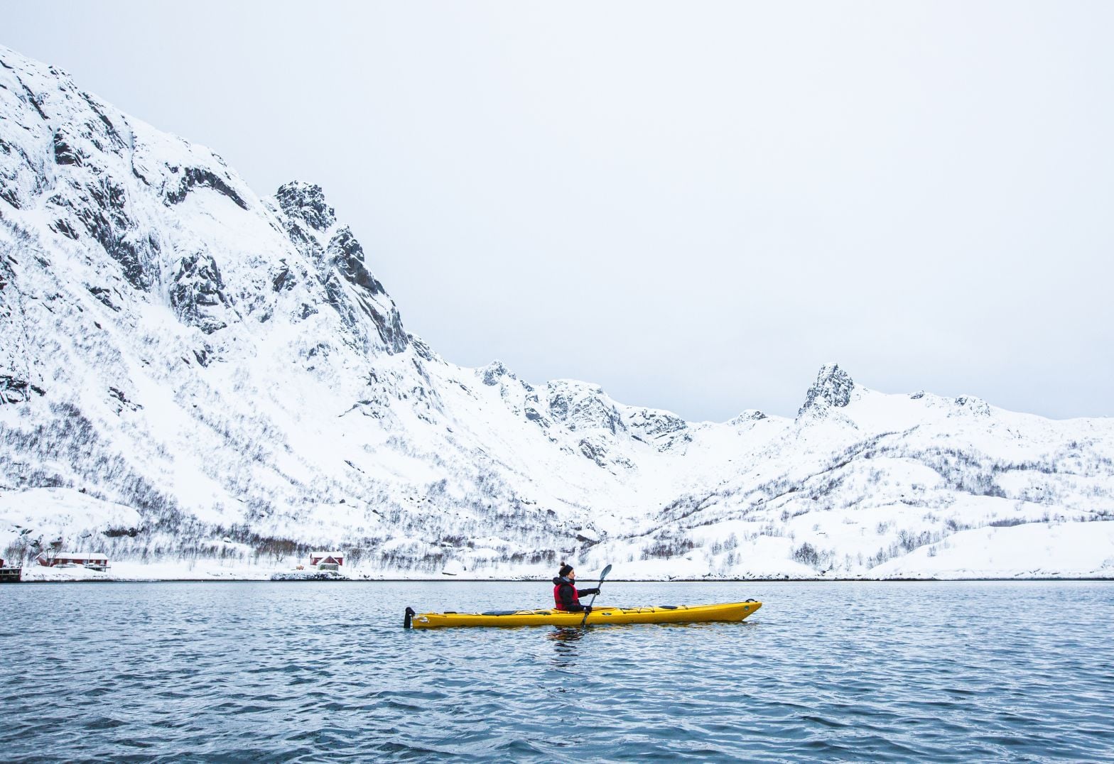
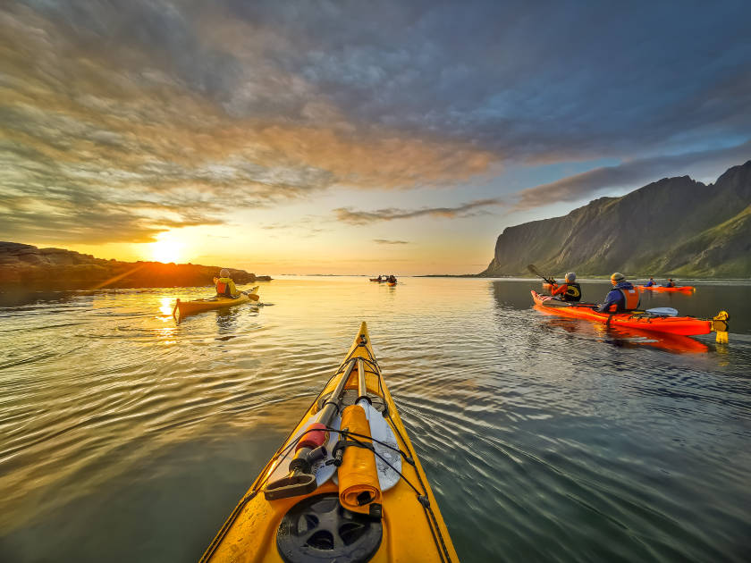
The combination of panoramic roads and midnight sun make for great road cycling meanwhile, and there are plenty of kayaking and surfing options too. The best break in Norway is said to be at Unstad, and the archipelago's famous turquoise water makes it one of the best destinations for kayaking in Norway.
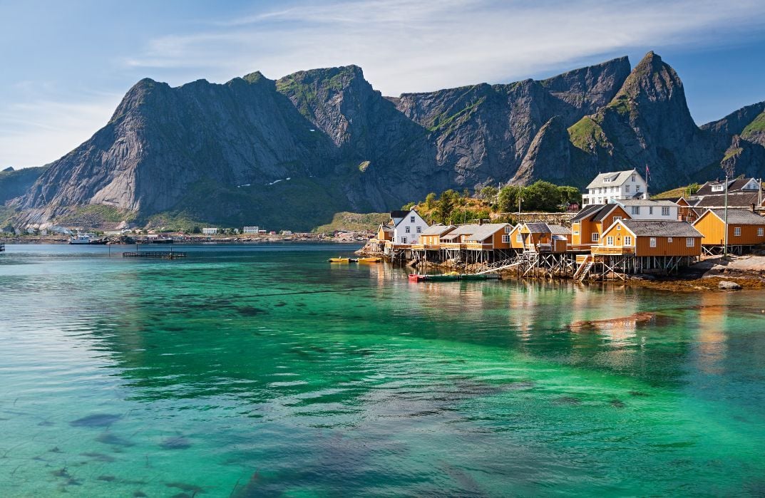
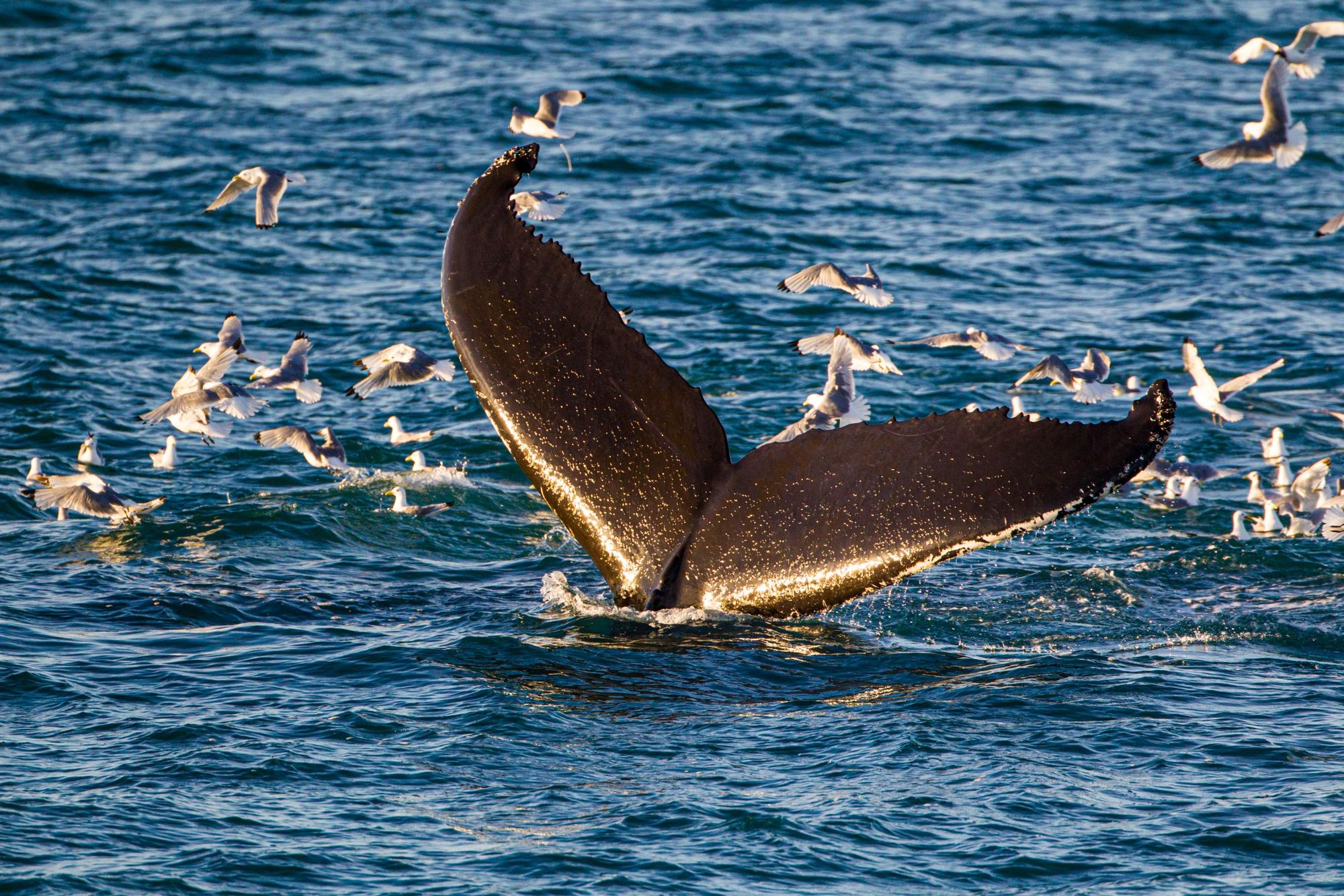
Eggum harbour, Gimsøya island, Rolvsfjord, Mortsund and the UNESCO protected fishing village at Nusfjord are good places to start off a paddle, but you won’t struggle for good views in a kayak on the Lofoten Islands wherever you go - and you might even see dolphins, orcas or humpback whales if you’re lucky.
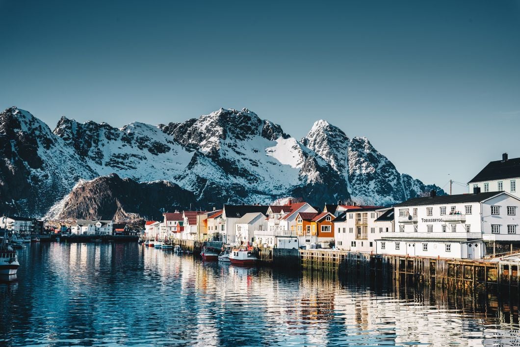
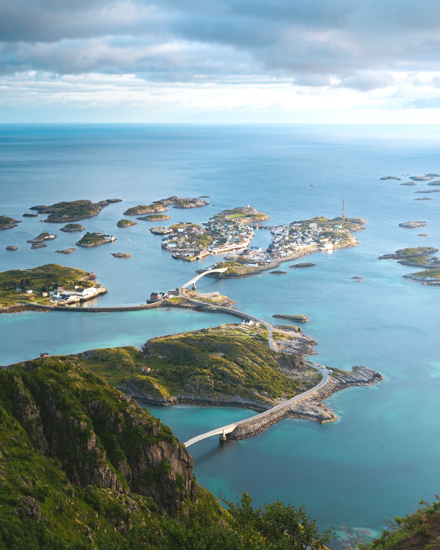
If you’re a fan of rock climbing, then you're quite possibly coming to scale the Svolværgeita - known as 'the goat', it's a granite tower which sticks out high over Lofoten and is known as one of the best climbs in the region. Head to the village of Henningsvaer, where you'll find a climbing cafe and accompanying expertise.
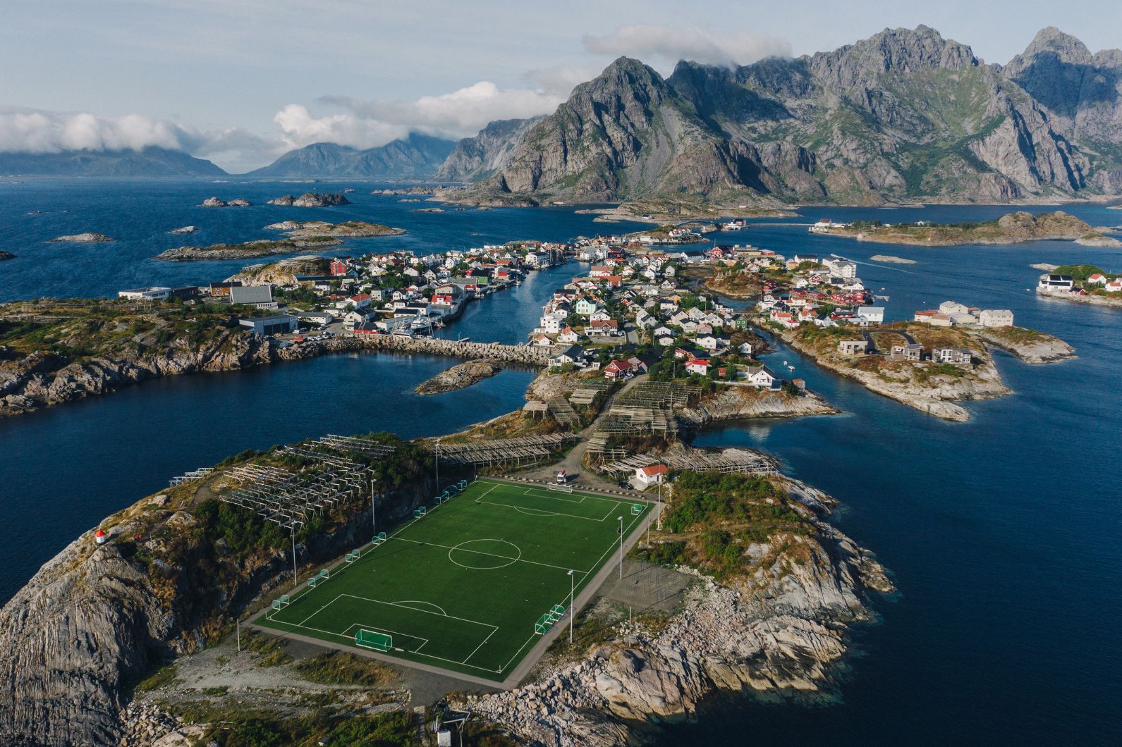
Finally, if you’re a fan of football, then you have to see the grounds in Henningsvær, perhaps the most beautiful in the world, surrounded by rugged rocks, racks used to dry Arctic cod and boasting crazy views of the mountains and sea beyond. Just remember that if you want a seat, you'll have to bring one!
Inspired? Check out small group tours to Norway, including our Hike, Kayak and Wild Camp on the Lofoten Islands adventure.


