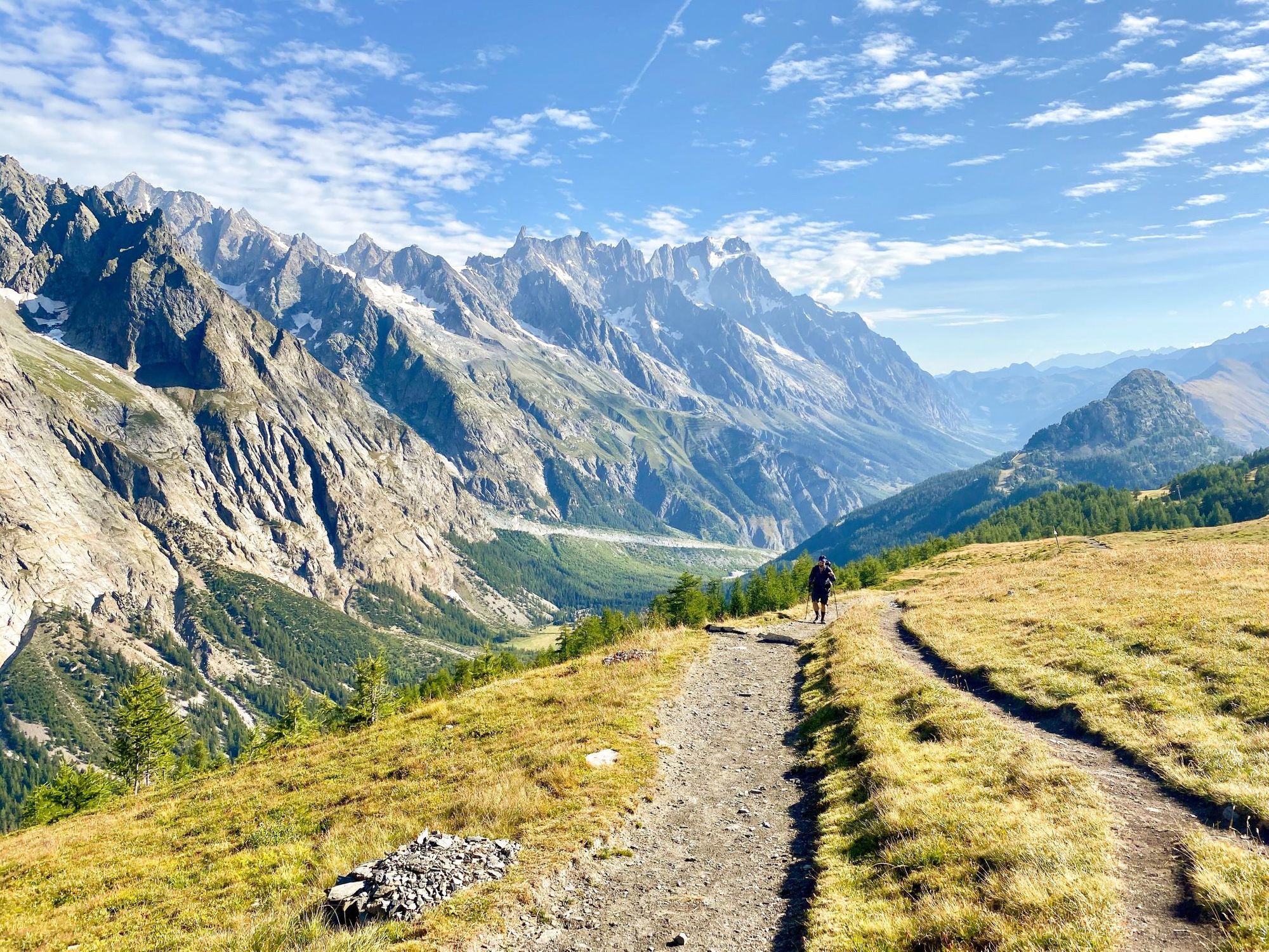
The Tour du Mont Blanc (TMB) is one of the most famous long-distance hiking trails in Europe, looping around the mighty Mont Blanc massif (4,810m/15,780ft). It typically covers 105 miles (170km) and crosses three countries: France, Italy, and Switzerland - although shorter versions are possible.
If trekking the Tour du Mont Blanc is not already high on your bucket list, then it most definitely should be. There's no doubt that the Mont Blanc is one of the most spectacular hikes in Europe - it's also one of the oldest treks in the world. The loop often features in the sort of ‘Top 10 Hikes in the World’ lists you see popping up from time to time, and for good reason. It's Europe's answer to Nepal’s Annapurna Circuit or Peru’s Cordillera Huayhuash trek, and one of the continent's most iconic multi-day treks.

We'll get onto the specifics of the route further on in this piece, but expect captivating views, delicious food and genuine alpine experiences. You'll see immense snowy peaks to huge glaciers, wild rivers and green valleys; and that’s just day one.
You'll be crossing wobbly suspension bridges over roaring torrents and climbing up steep cols with panoramic alpine views are high on the list. Passing through alpine fields full of cows with their loud cow bells ringing is also a unique alpine experience you won’t find elsewhere.
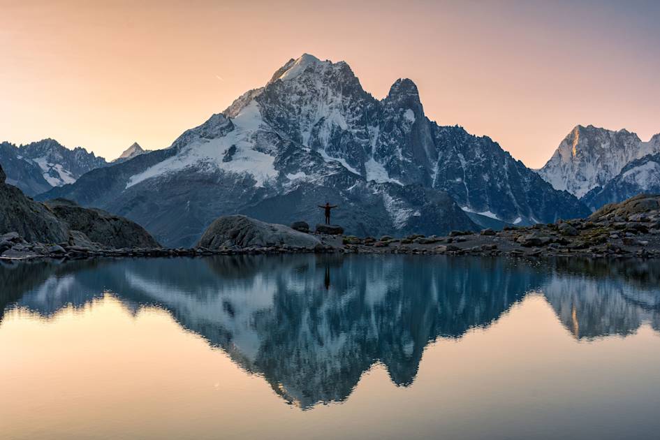
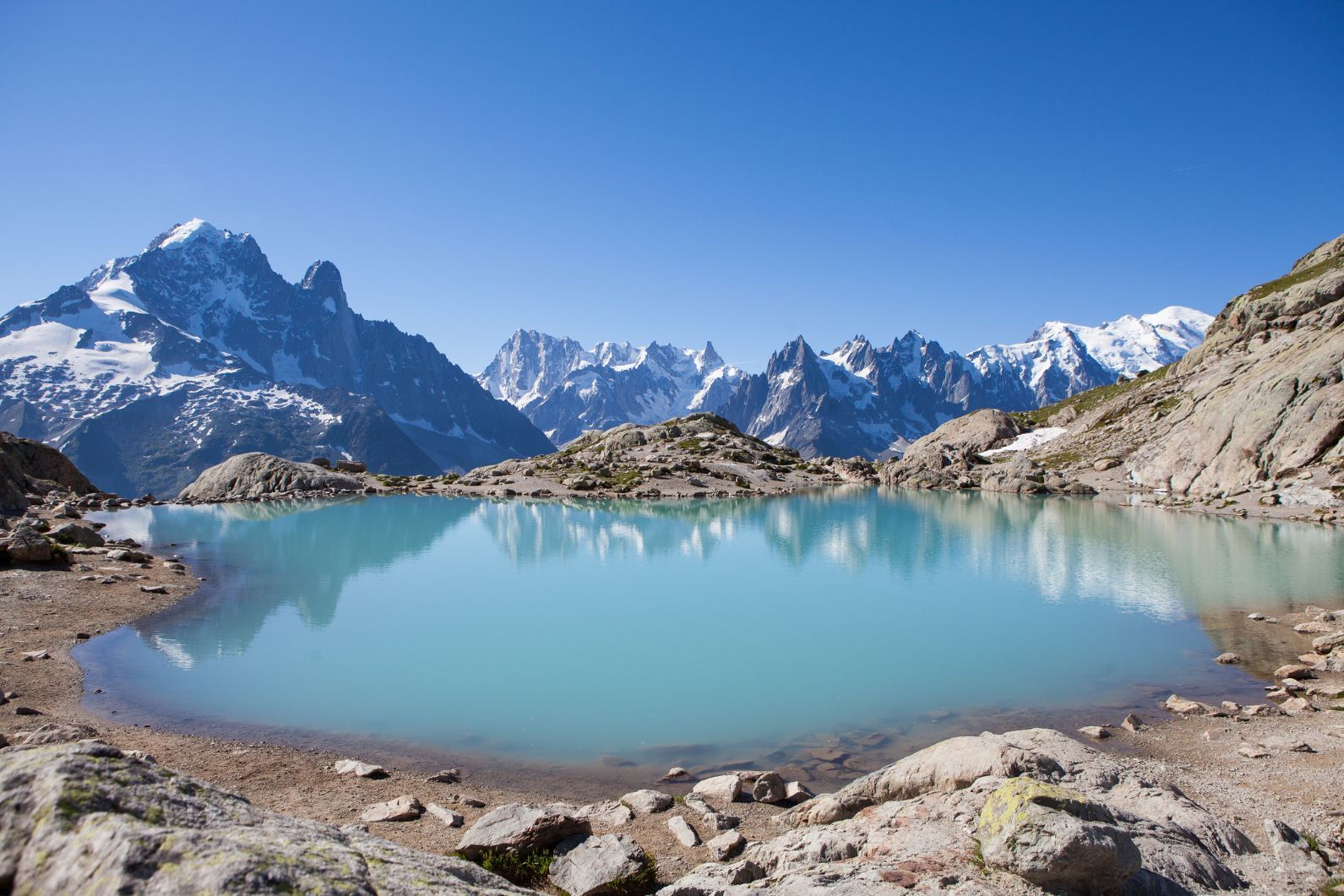
It’s difficult to pin down just one highlight from the whole hike. Perhaps it would be hiking up to the pristine Lac Blanc (2352m) on the final leg of the hike. The Mont Blanc massif reflects photogenically in the lake. It’s a fitting view to end the hike and even the most amateur photographers among us can grab a cracking photo. Or, for those brave enough, pop in for a quick swim in its icy waters.
In this beginner trekking guide, we'll dig into the specifics of the route, alongside where to stay, what to expect and frequently asked questions.
Table of Contents
- Tour du Mont Blanc: Map & Basics
- A Short History of the Tour du Mont Blanc
- What to Expect on the Tour du Mont Blanc Trek
-
The Tour du Mont Blanc Route: An 11-Stage Itinerary of the 103-Mile Route
- Stage 1: Les Houches – Les Contamines
- Stage 2: Les Contamines to Les Chapieux
- Stage 3: Les Chapieux to Rifugio Monte Bianco
- Stage 4: Rifugio Monte Bianco to Courmayeur
- Stage 5: Courmayeur to Refugio Walter Bonatti
- Stage 6: Refugio Walter Bonatti to La Fouly
- Stage 7: La Fouly to Champex
- Stage 8: Champex to Trient
- Stage 9: Trient to Tré-le-Champ
- Stage 10: Tré-le-Champ to La Flégère
- Stage 11: La Flégère to Les Houches
- Accommodation on the Tour du Mont Blanc
- What to Pack for the Tour du Mont Blanc
- Frequently Asked Questions About the TMB
- How to Get to the Tour du Mont Blanc
Tour du Mont Blanc: Map & Basics
Distance: 103 miles (166km)
Days to walk: 7-11
Elevation gain: 9289m (30,475ft)
Highest point: 2532m (8307ft)
A Short History of the Tour du Mont Blanc
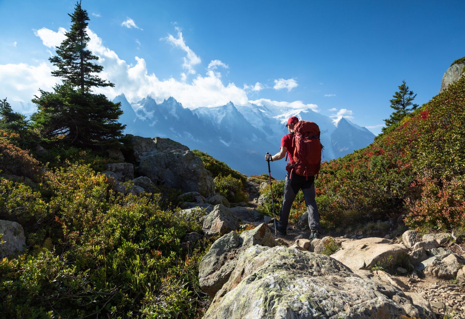
Originally formed by shepherds moving their cattle from valley to valley, the hiking trails that make up the Tour du Mont Blanc circuit - like all the best trails in the world - have been around for centuries. But it was the Swiss geologist Horace-Bénédict de Saussure who made the Tour du Mont Blanc public knowledge in the mid-1700s. He was searching for a way to climb Mont Blanc and ended up walking the entire circumference of Mont Blanc looking for the best route. Poor chap.
The exact path Saussure took is unknown, but he returned time and time again, desperate to find a way to the summit. See, back then, no one had ever climbed Mont Blanc.
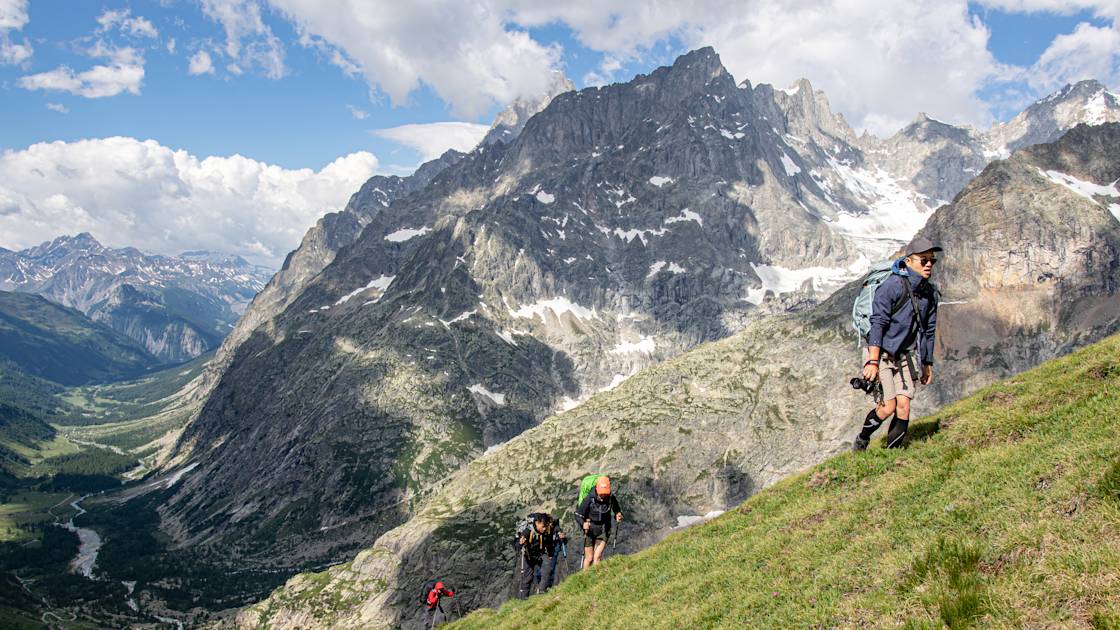
After a few failed attempts (and walking in circles round the mountain) Horace-Bénédict de Saussure offered a reward to the first person to reach the summit. In 1786 two Chamonix locals, Michel Paccard and Jacques Balmat, claimed the prize – and the first ascent. Saussure would later follow the same route and became the third person to summit the infamous mountain.
What to Expect on the Tour du Mont Blanc Trek
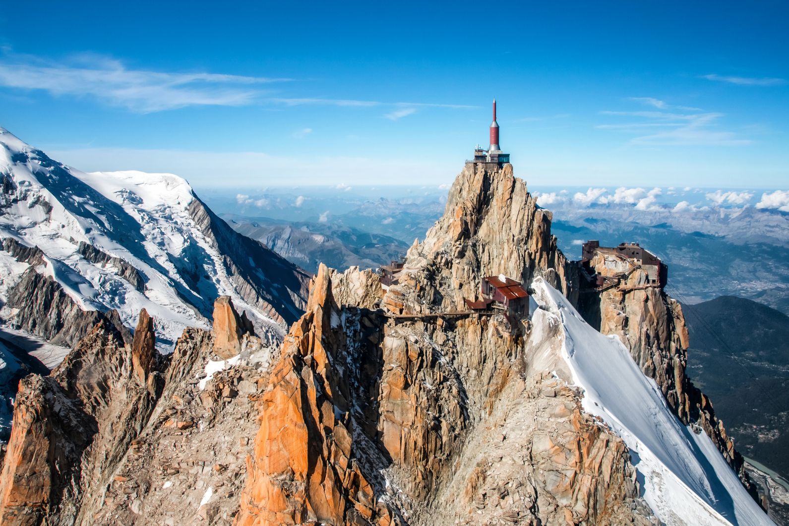
The Tour du Mont Blanc is 105 miles (170 km long) with approximately 10,000 metres of ascent and descent along the way. This may seem like a daunting amount of trekking, but remember it’s spread over several days. That makes it doable for most keen hikers – and even beginners with strong determination when the going gets tough.
Each day sparks a new challenge that will inspire you to make it to the finish line and before you know it you’ll be back in Cham, necking Genepi and Pastis with the locals.
Along the way, you'll see wildlife, beautiful mountain views and stay in remote mountain refuges. Watch out for Ibex with their big horns and steer clear if two males begin a fight on the trail. It’s not worth getting involved. Look out for birds of prey circling above your lunch spot, and have no doubt that they will have their eyes on your sandwich.
Back on the ground, you might spot anything from red deer to chamois, roe deer, squirrels or marmots, mountain hares, foxes, boars, badgers, stoats or an abundance of the other wildlife that lives in this blossoming area. There is no lack of biodiversity across the 170km Mont Blanc hiking route, that's for sure.
Traditional chocolate box chalets and small farming villages still exist and it’s worth appreciating the simplicity of the locals’ way of life. Ultimately it’s the views of the mountains that make the hike so spectacular. Watch out: the views will inspire future adventures right then and there.
The Tour du Mont Blanc Route: An 11-Stage Itinerary of the 103-Mile Route
The trail, for the most part, is not technically difficult. There's a great variety, too. You can expect everything from forests, barren rocky terrain and vast green valleys on the Tour du Mont Blanc hiking route. You will be greeted by a real mix of wild landscapes, and snowy peaks up above, each day different to the next.
Watch out for Ibex with their big horns, and steer clear if two males begin a fight on the trail, it’s not worth getting involved
Most stages on the trek follow a familiar pattern of hiking up and over a col, or mountain pass, before descending to a mountain hut or hotel for the night. Expect to start the day strong with a rewarding ascent to find a scenic lunch spot, before a final descent down to a warm dinner and a cold beer.
Here is a breakdown of the route in the standard 11 stages.
Stage 1: Les Houches – Les Contamines
- Distance: 10 miles (16km)
- Walking time: 7 hours
- Ascent: 730m up/ 1300m down
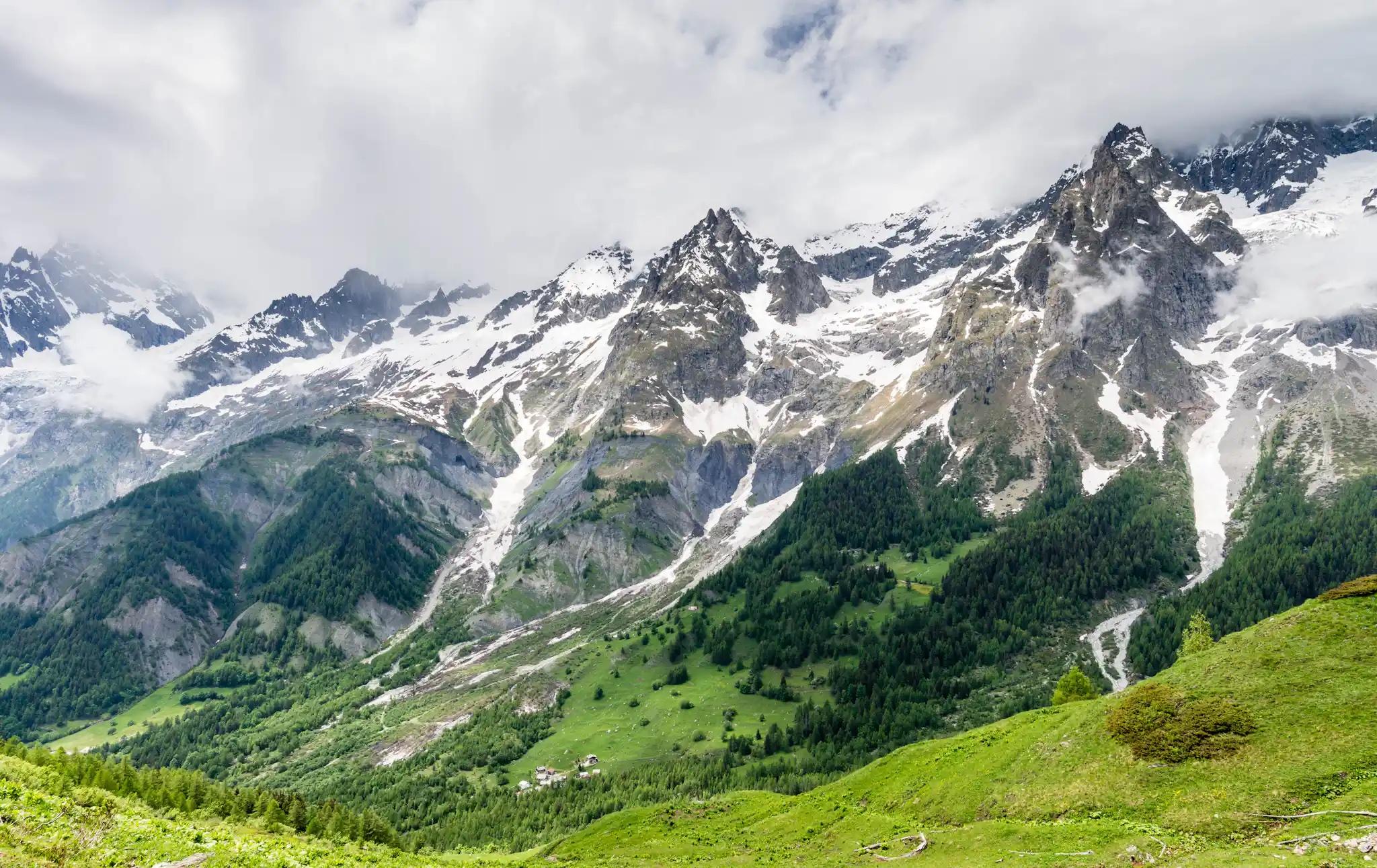
You’ll start in Les Houches, a small town at the entrance to the Chamonix Valley. Take the Bellevue cable car up to 1800m and enjoy the panoramic views. You should be able to see Mont Blanc, the Chamonix Aiguilles, the Aiguilles Rouges and the Chaine des Aravis.
Head towards the Col du Tricot, passing over the famous suspension bridge that crosses the Bionnay Glacier and down into Les Contamines for the first nights’ accommodation.
Stage 2: Les Contamines to Les Chapieux
- Distance: 12.4 miles (20km)
- Walking time: 9 hours
- Ascent: 1450m up/1000m down
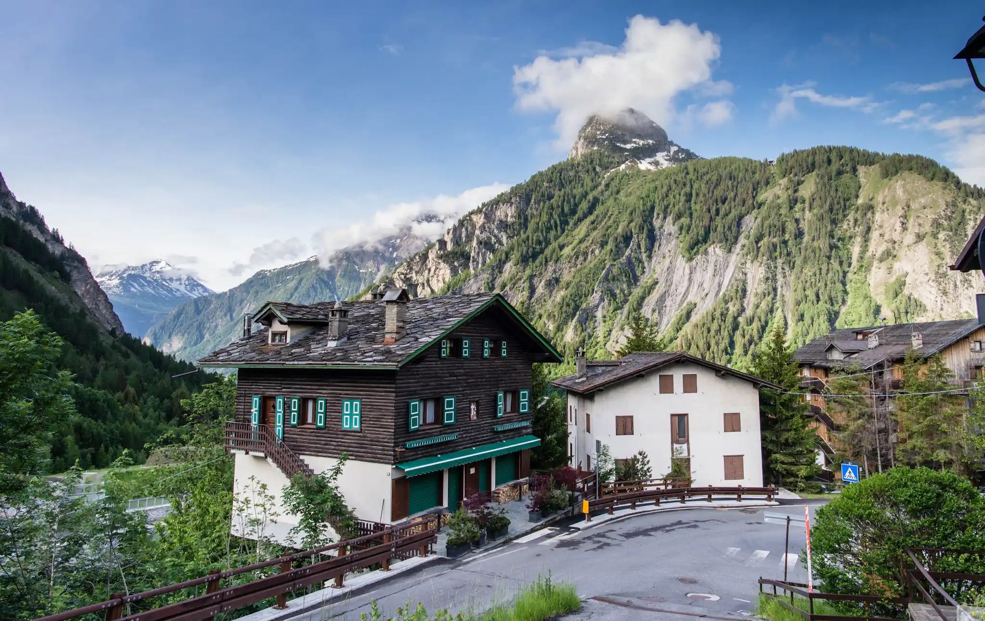
The next day takes you up and over the Col du Bonhomme (look out for that Roman bridge) with horizon views of the Vanoise National Park. The trail then descends into the small hamlet of Les Chapieux. Be prepared for a very sketchy phone signal in Les Chapieux, but the views more than make up for it. Everyone can get away with one day off the grid, right?
Stage 3: Les Chapieux to Rifugio Monte Bianco
- Distance: 12.4 miles (20km)
- Walking time: 7-8 hours
- Ascent: 820m up/100m down
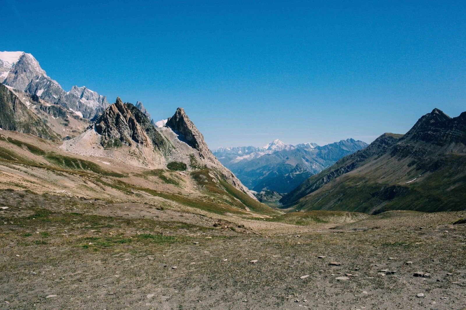
After Les Chapieux the trail crosses the Col de la Seigne, at 2516m, straddling the French-Italian border. Yes, you can stand with one foot on each side! You can almost smell the freshly ground Italian coffee as you cross the col.
Head down into the Val Veny, a magnificent green valley with the south face of Mont Blanc dominating the skyline on your left, and spend the night at the Refugio Elisabetta - or continue further along the route to the Refugio Monte Bianco.
Stage 4: Rifugio Monte Bianco to Courmayeur
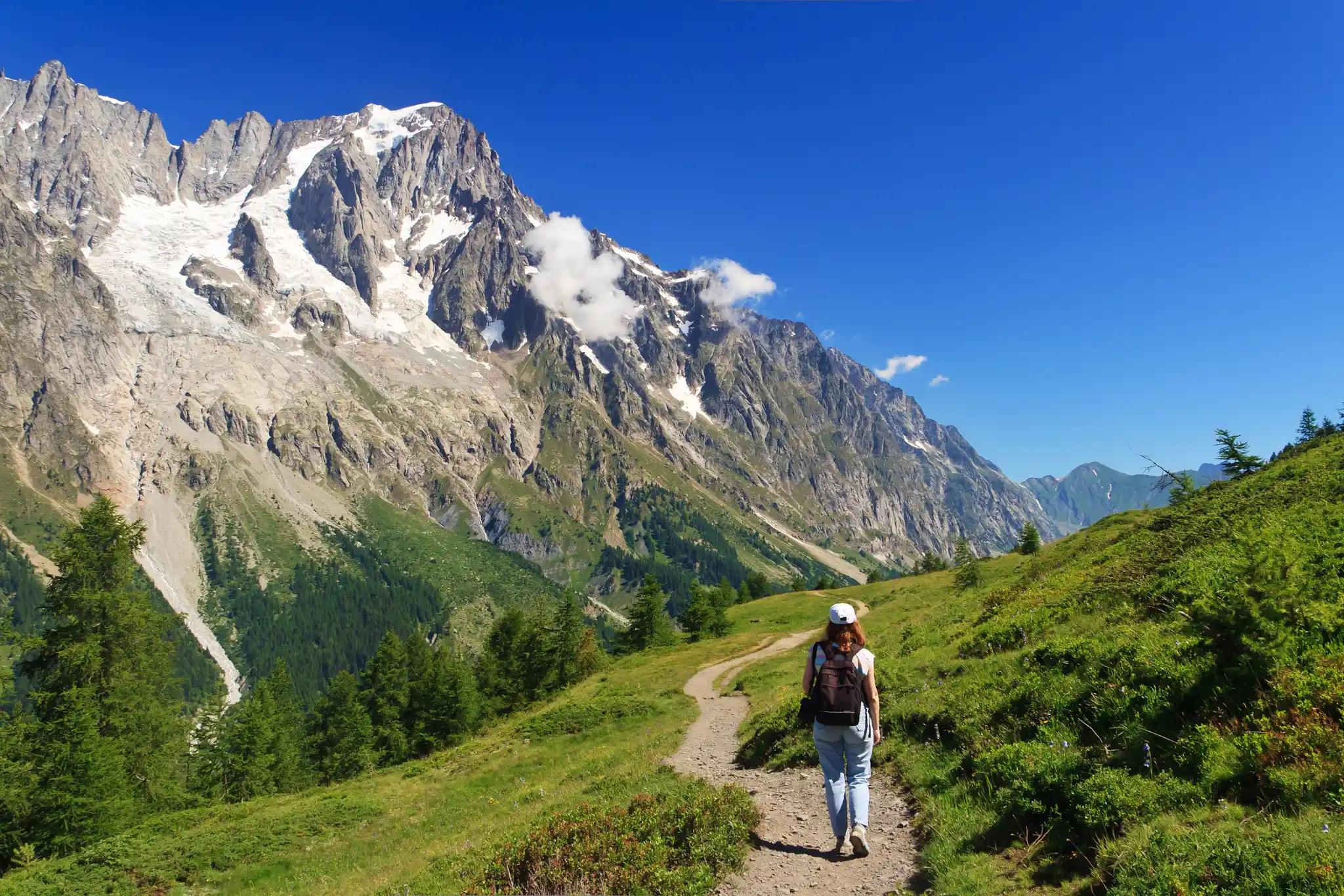
- Distance: 5.5 miles
- Walking time: 3-4 hours
- Ascent: 350m up/ 850m down
As you trek towards Courmayeur, you’ll be rewarded with some of the best panoramas of the range’s famous 4000m peaks. There are spectacular and unique vantage points of the Grandes Jorasses, Mont Dolent and the Grand Combin.
Stage 5: Courmayeur to Refugio Walter Bonatti
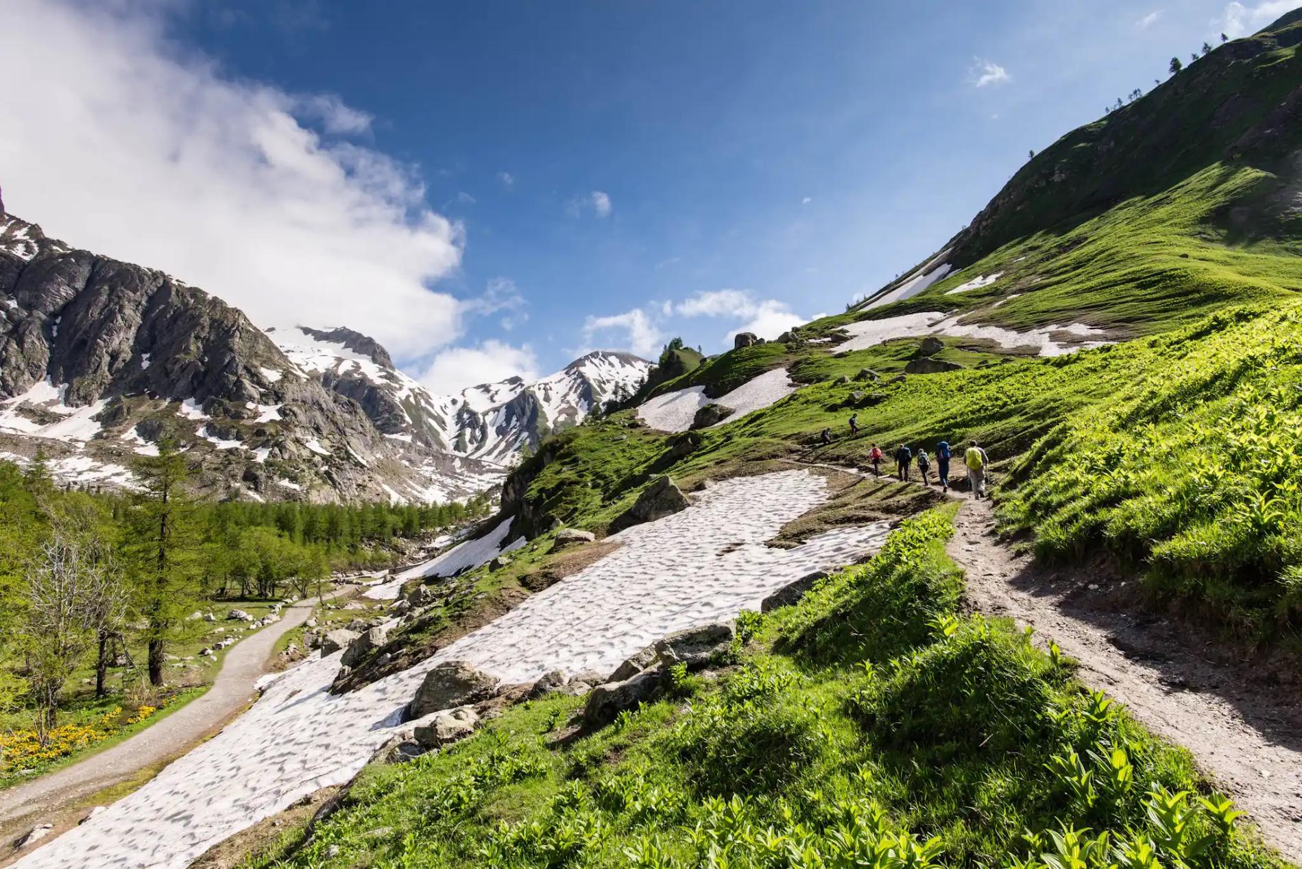
- Distance: 8 miles (13km)
- Walking time: 6-7 hours
- Ascent: 1100m up/300m down
You’ll eventually start to make your way back towards Switzerland via the Italian Val Ferret. Hike through the Val Ferret towards the Italy-Swiss border. See Mont Blanc, the Dent du Géants and the Grandes Jorasses massif towering above you, before arriving at your mountain hut, the famous Refugio Walter Bonatti with epic mountain views.
Stage 6: Refugio Walter Bonatti to La Fouly
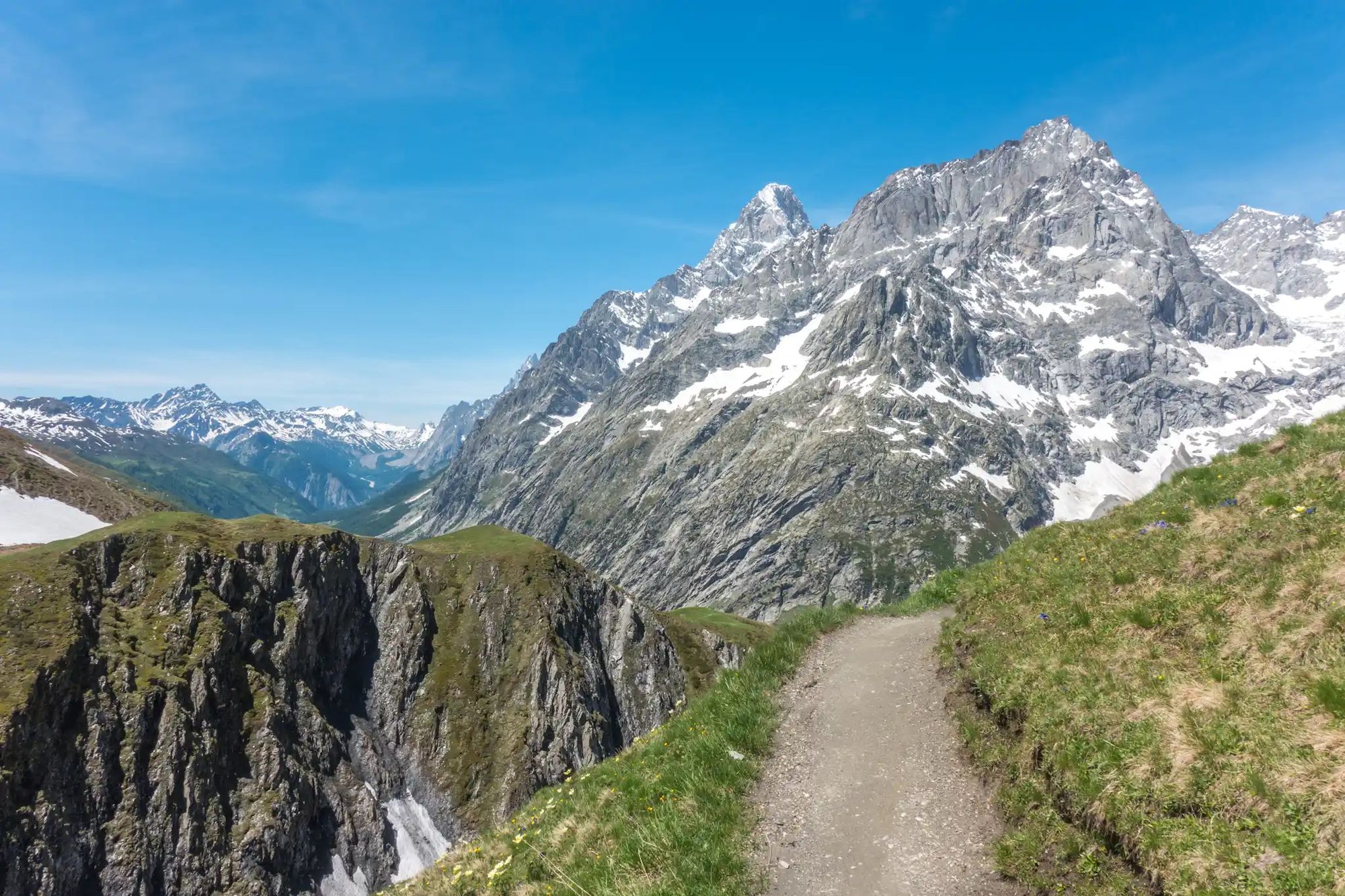
- Distance: 13 miles (21km)
- Walking time: 8-9 hours
- Ascent: 950m up/1350m down
Start the day by traversing the High Balcon Val Ferret trail. Next up, you'll tackle the 500m climb to the Grand Col Ferret, an Alpine pass with an elevation of 2,537 metres (8,323 ft) on the Italian-Swiss border. Make your descent to the small mountain village of La Fouly.
Stage 7: La Fouly to Champex
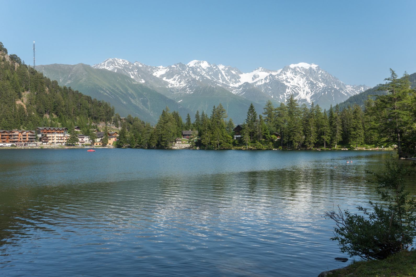
- Distance: 10.5 miles (17km)
- Walking time: 5-6 hours
- Ascent: 600m up/ 700m down
Next up is a mellow stage through Swiss alpine meadows and small villages, before reaching the Lac de Champex, a pristine alpine lake in a steep valley. Time for a dip maybe?
Stage 8: Champex to Trient
- Distance: 11 miles (18km)
- Walking time: 7-8 hours
- Ascent: 850m up/ 1050m down
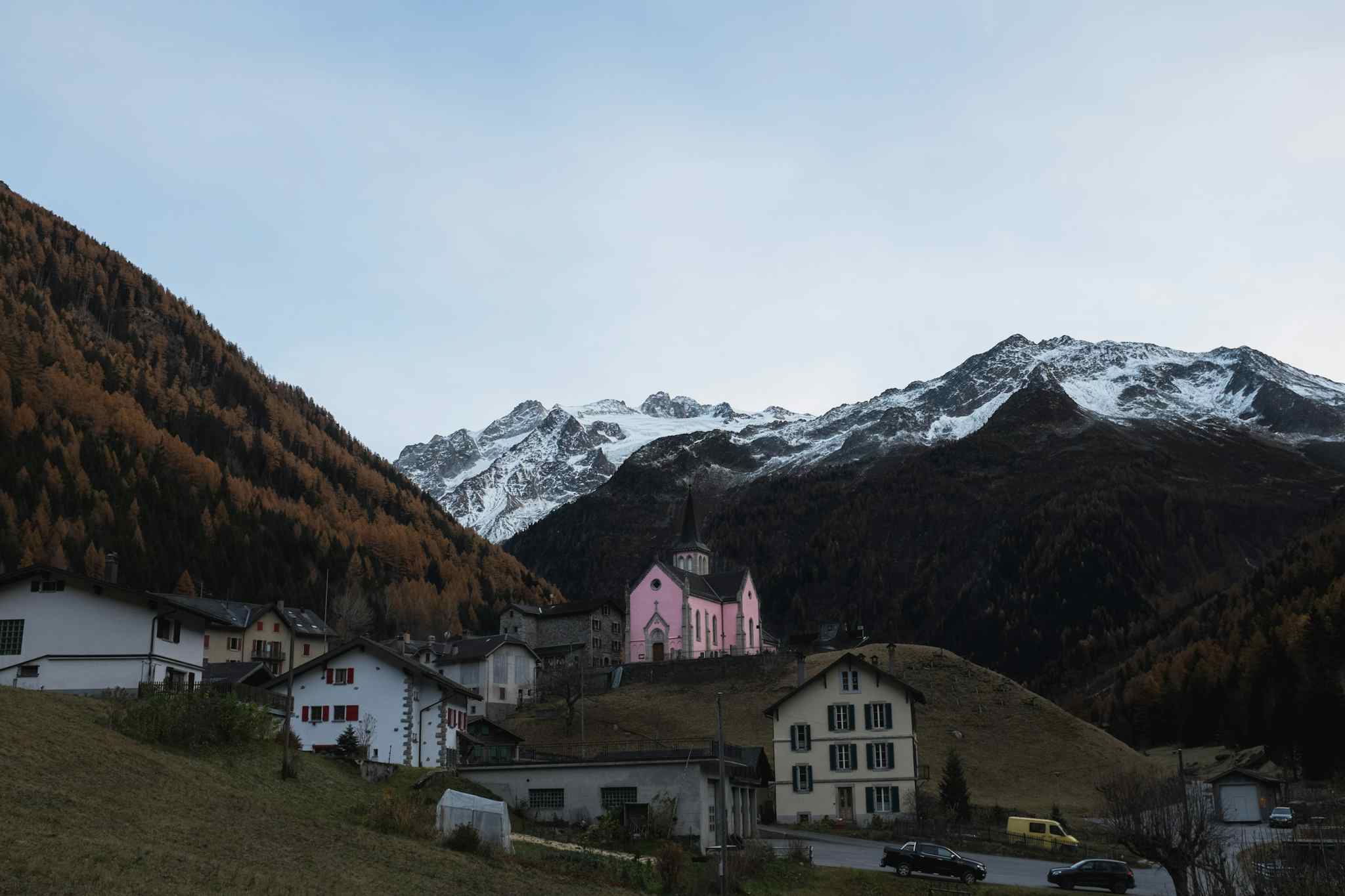
There are two options today: take the hard route over the Fenetre d’Arpette (2,665m/ 8743ft) or the slightly easier (official) one over Bovine. Both are beautiful, but the harder route takes you to the highest point so far on the journey, with views to match.
Whichever chosen by your guide, you’ll end the day in the small village of Trient.
Stage 9: Trient to Tré-le-Champ
- Distance: 9.3 miles (15km)
- Walking time: 5-6 hours
- Ascent: 980m up/850m down
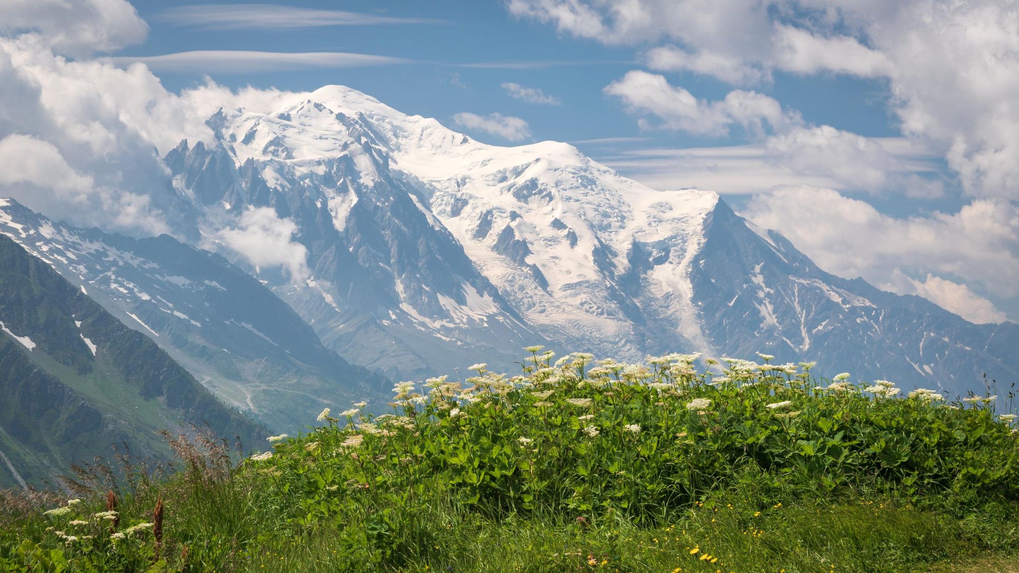
The finish line is now in sight. You will make your way back into France over the Col de Balme which marks to Swiss-French border, traversing the Aiguille du Midi and crossing into the Aiguilette des Possettes.
Stage 10: Tré-le-Champ to La Flégère
- Distance: 10.5 miles/ 17km
- Walking time: 7-8 hours
- Ascent: 1100m up/1400m down
One final push up to the Lac Blanc, over the Grand Balcon Sud, for some more mega impressive views of the Mont Blanc range.
Stage 11: La Flégère to Les Houches
- Distance: 10.5 miles/ 17km
- Walking time: 6-7 hours
- Ascent: 772m up/1546m down
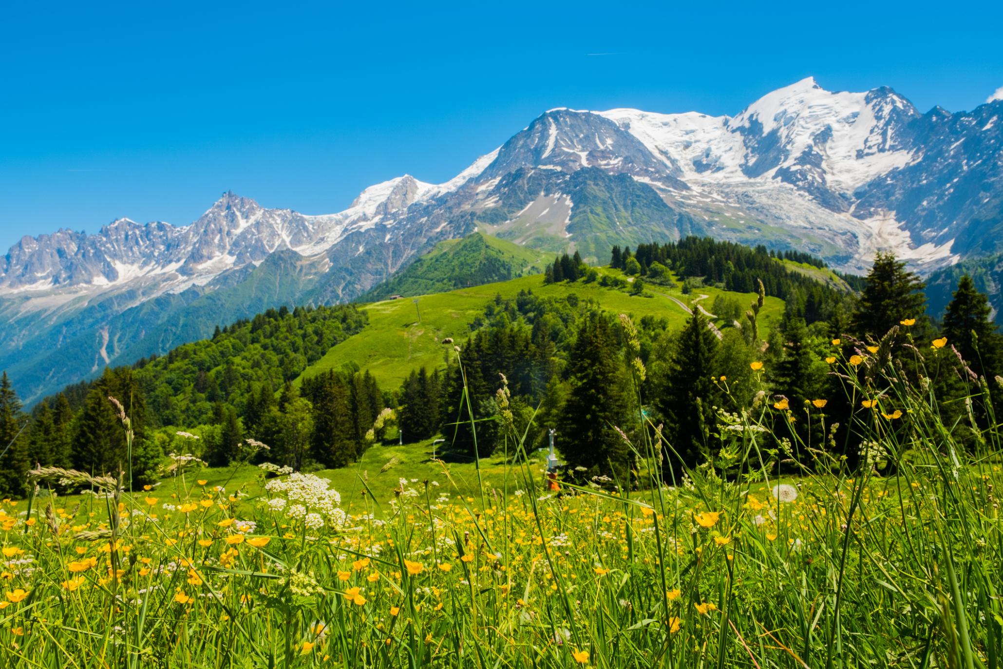
Start by climbing a rocky path up to the Col du Brevent, where you'll see the tourist cable care. Then it's time for a final descent - of over 1500m - back to Chamonix for celebrations and a much-needed demi-peche.
Accommodation on the Tour du Mont Blanc
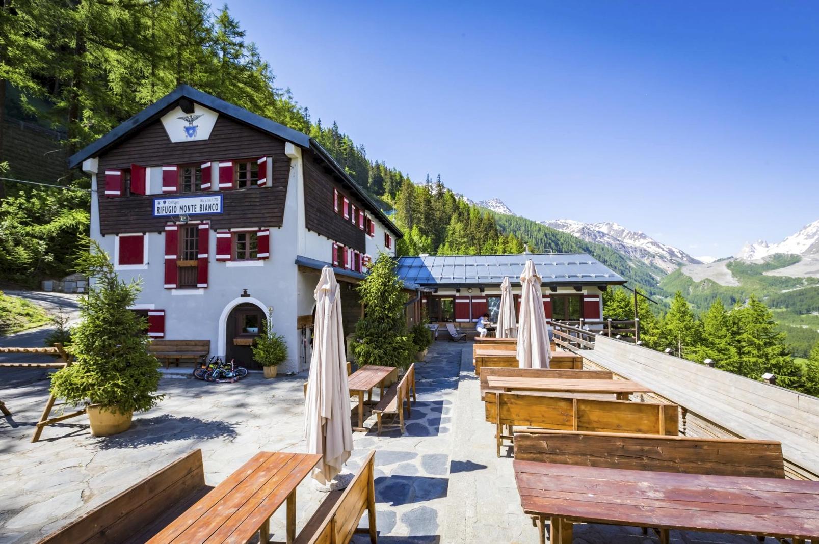
On a classic trip, you will stay in mountain huts on a few of the nights. They’ll likely be your most memorable evenings! Staying in an Alpine mountain hut is a wild experience for those who are more accustomed to AirBnB and hotels. Expect simple but delicious home cooked food, a cosy sleeping area and plenty of story sharing after dinner.
Remember to bring earplugs in case your neighbours snores. Mountain huts are often situated in areas that aren’t reachable by road. Wi-Fi and phone signal is rarely available, which only adds to the remote feel of the trip, but there will usually be some plugs available where you can charge a phone or a camera.

However, if that doesn't sound like the option for you, you can opt to stay in Alpine hotels instead. With this option, you may need a short transfer to rejoin the trail in the mornings or at the end of each hiking day.
Trekking the Tour du Mont Blanc can be a logistical nightmare if you try to go it alone. Getting reservations at the huts can be really hard – what if you start booking and then discover one’s full right in the middle? So for a hassle-free and authentic experience its best to go with a local guide. The best guides are passionate about the local area and knows all the best spots and detours.
What to Pack for the Tour du Mont Blanc
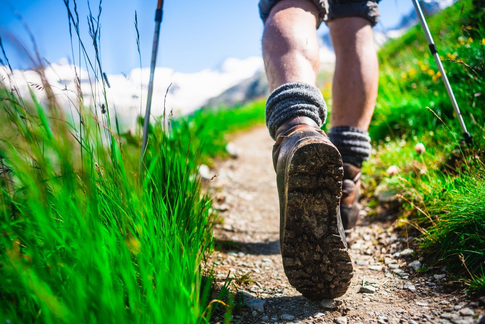
Technical kit like crampons or ice axes aren’t required, but you will need walking poles and a decent backpack filled with a few essentials. These include:
- Waterproof jacket and trousers
- Warm layers (a Primaloft or down jacket)
- Breathable wicking layers
- A comfortable and solid pair of hiking shoes
- Sunglasses
- A sun hat
- A water flask
- Blister plasters
- A good book for downtime
To see a full list, check out the kit list on our Trek the Tour du Mont Blanc: the Full Circuit adventure.
Frequently Asked Questions About the TMB
How Hard is the Tour du Mont Blanc?
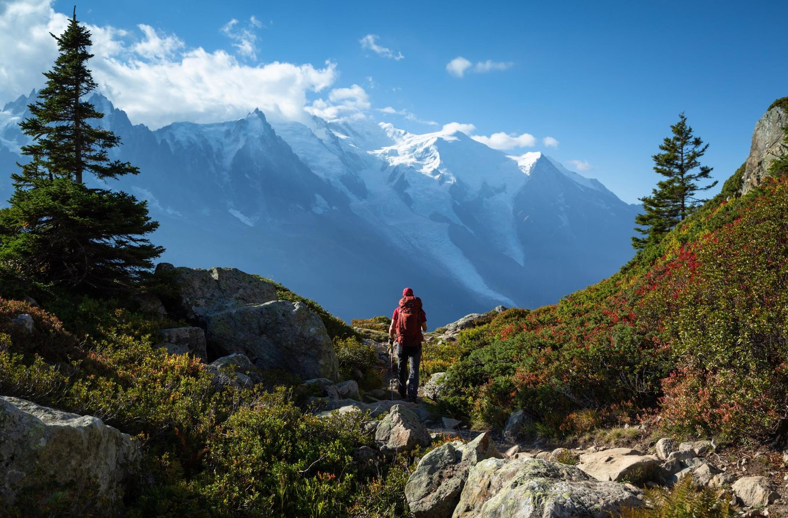
You don’t necessarily need to have any prior hiking or trekking experience to do the Tour du Mont Blanc - although it will be beneficial if you do. That said, you will need to be in pretty good shape, and we recommend doing some training. It’s no easy feat. Expect to hike between six to 18 miles per day (depending on your itinerary) with an average of 1,000m ascent and descent.
How Can I Train for the Tour du Mont Blanc?
One of the best ways to prepare for a multi-day trek is to hit the trails and get some shorter practice hikes in. If they take place at high altitude and involve a couple of steep ascents, so much the better. You could spend the weekend hiking in Slovakia's High Tatras Mountains or five nights trekking hut-to-hut in the Dolomites - the choice is yours. If time or money prohibits you from doing so, make sure you get some solid day or overnight hikes in your local area. You can also hit the gym or grab your running shoes - anything to help improve your cardio and improve endurance.
How Many Days is the Tour du Mont Blanc?
The Tour du Mont Blanc typically takes between 10 to 12 days to complete, depending on the hiker’s pace, trail conditions, and specific route choices - we recommend the 11 stage route listed above. However, some experienced trekkers can finish it in 7-8 days with longer daily hikes, while others might prefer a more leisurely pace and take up to 14 days.
You can also hike a shorter version of the TMB across three days, beginning in Plampincieux, Italy, and finishing in the village of Tré-le-Champ in France.
Where does the Tour du Mont Blanc Start?
The Tour du Mont Blanc begins and ends in Chamonix, a mountain town and thriving hub of adventure sports in the French Alps. Chamonix is a popular ski resort right at the foot of Mont Blanc, so you get a lot of skiers and snowboarders of all abilities, and there's also plenty of hiking and mountain biking trails for when the snow has gone away in the summer.
When is the Best Time of Year to Trek the Tour du Mont Blanc?
The best time of year to hike the TMB is between late June and September. The snow is most likely to have melted from the high mountain passes in the middle of the summer. The weather is stable and warm.
How to Get to the Tour du Mont Blanc
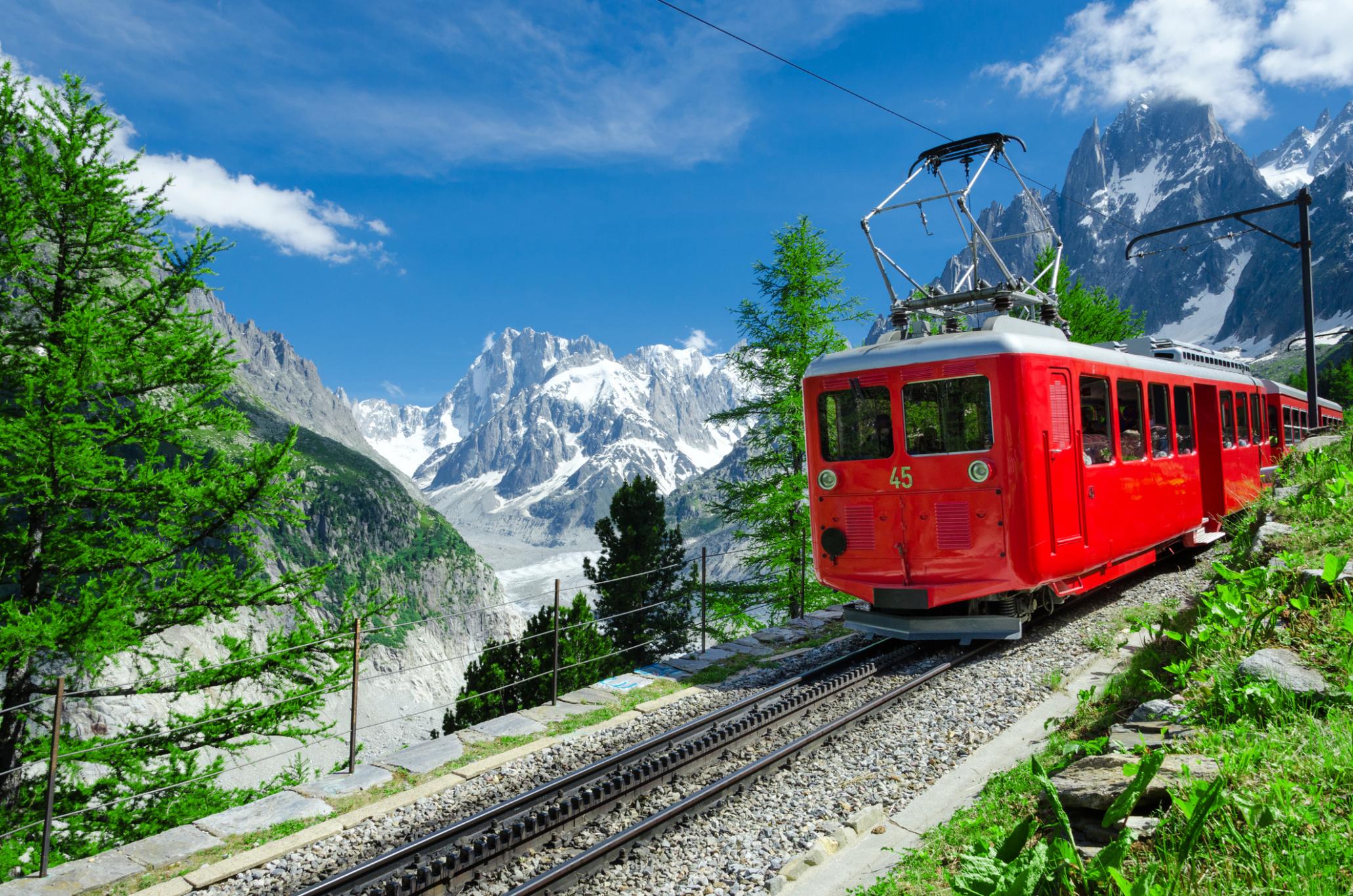
The Mont Blanc trek begins in Chamonix. To get there, most people fly into Geneva Airport, 55 miles (90km away). The drive is just over an hour, buses will take about two hours, and the train trip would be closer to three hours depending on connections.
Read more:
- The Beginner's Guide to Climbing Mont Blanc
- How to Prepare for a Mountain Climbing Adventure
- 5 Tips For Climbing Mont Blanc
Inspired? Check out our selection of Tour du Mont Blanc adventures.

