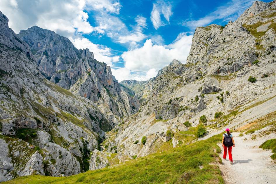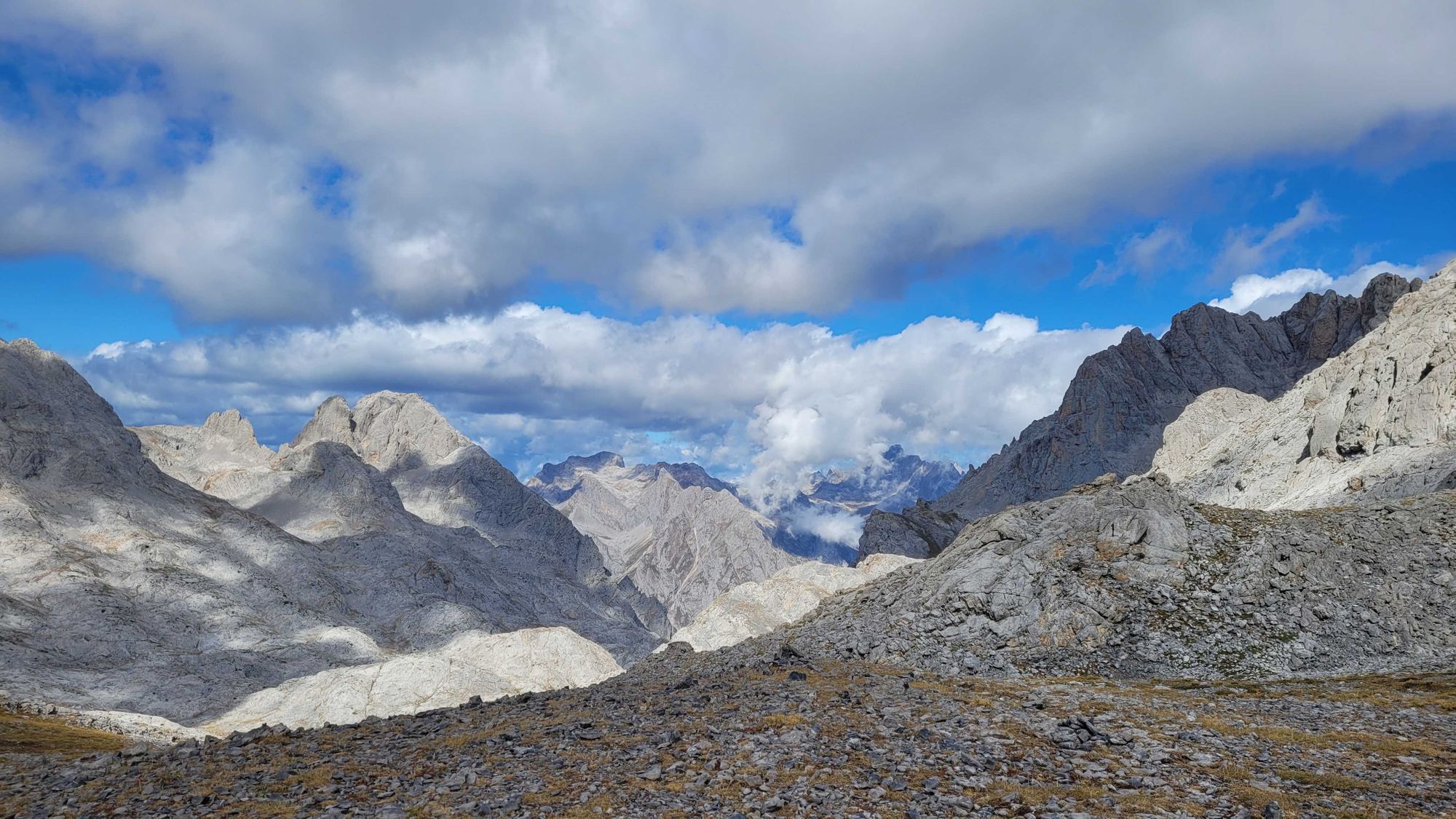
The discordant clang of cow bells echoes across the moraine valley as the herds graze in the foothills of the Picos de Europa, unfazed by the small group of hikers weaving their way through the Duje Valley. Lilac constellations of star-shaped meadow crocus spring up from the verdant ground underfoot.
We make our way past a large, solitary rock which rises some 10 metres in the air, seemingly placed arbitrarily on the otherwise smooth plateau by invisible forces. “It’s a remnant rock,” explains Ernesto, one of our mountain guides. “This valley was created by glaciers. You can tell by the shape on either side of where we are stood - and this large rock would have travelled on top of the compacted glacial ice. When the ice melted, the rock was stranded here.”
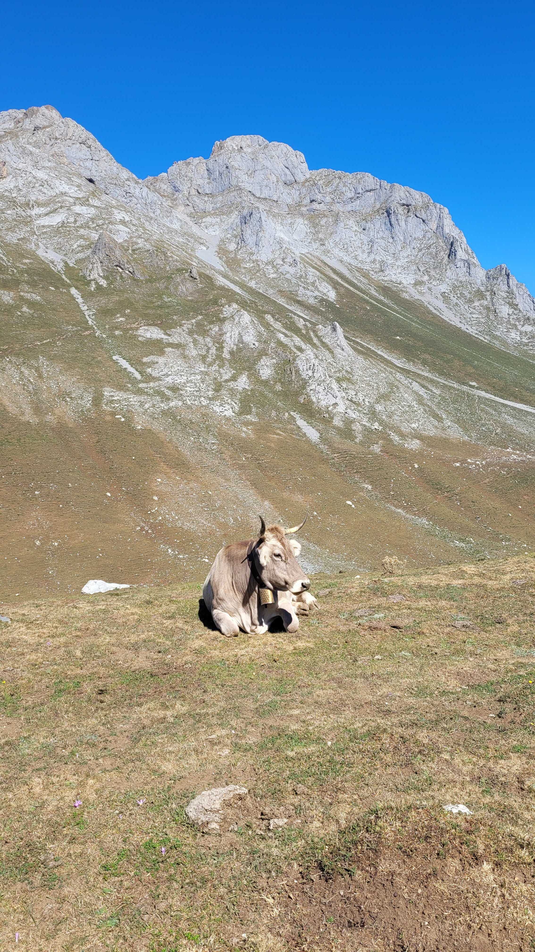
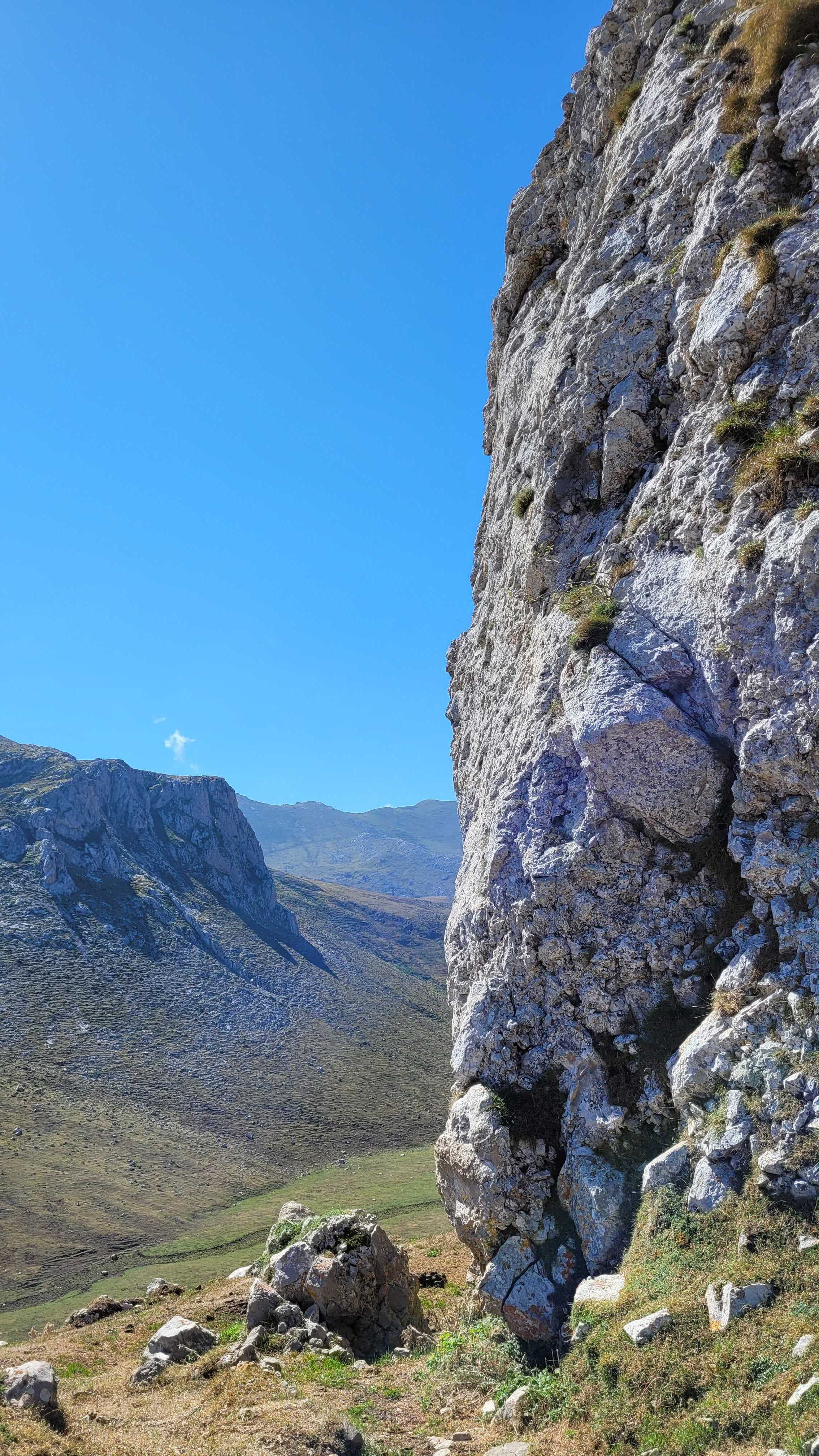
Cows and remnant rocks in the Duje Valley. Photo: Kirsty Holmes
Tucked into a remote corner of northern Spain, the Picos de Europa stretch across the provinces of Asturias, Cantabria and León. The Picos are not the tallest nor the most well known mountains in Europe, however this relatively compact range in Spain’s far north is named ‘The Peaks of Europe’ and Ernesto tells us why. At just 20km from the northern coast of Spain, these dramatic spires were once the first sight of European land glimpsed by seafarers arriving from the Americas in centuries past.
The Picos are divided into three sections - the central, western and eastern massifs - by rivers, and it’s the path of the Duje River we trace on our first day of hiking. This follows a comfortable night in the small Asturian town of Arenas de Cabrales. Here, we had the chance to meet our fellow hikers, explore the quaint streets, stock up on trekking snacks and to sample the local cuisine, including fabada - a hearty bean stew made with chorizo, morcilla and pork - and a variety of locally-produced cheeses.
The Picos de Europa National Park is Spain’s only inhabited nature reserve, creating a unique environment where the natural world and rural life intersect. The villages on the fringes of the mountains have small populations (which shrink to only the hardiest souls during the winter), and cows are grazed in the meadows. This is evidenced by menus in the surrounding towns, where local cheeses and other dairy products are heavily represented. Today, hikers and climbers visiting the region in the summer months provide an alternative source of income for people living in these communities, where farming has been the traditional way of life for generations.
These dramatic spires were once the first sight of European land glimpsed by seafarers arriving from the Americas in centuries past.
We stop for coffee and a snack at the end of the Duje Valley, enjoying the endless views, before continuing onwards. The landscape changes, with the path dipping into cool forest as we descend, completing our hike in the pretty village of Espinama.
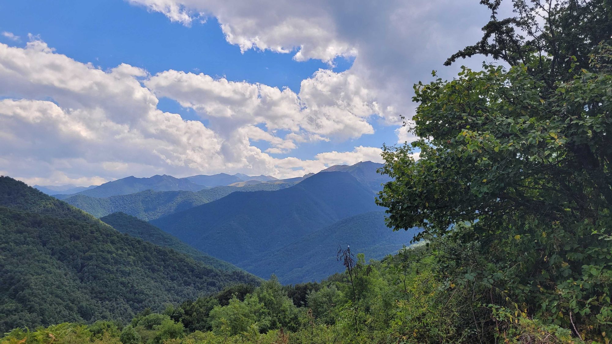
After our gentle introduction to the beauty of the area and a couple of nights in comfortable rural guesthouses, the next day brings change as we ascend into the high Picos. Beginning at the Fuente Dé cable car, we are carried up more than 750m in less than five minutes. Alighting at El Cable station (1,834m) it’s clear that the meadows and foothills of yesterday are far behind us: we are now hiking in the clouds, accompanied by a cool breeze. The path has transformed into grey limestone, punctuated only by the violet spikes of alpine thistles.
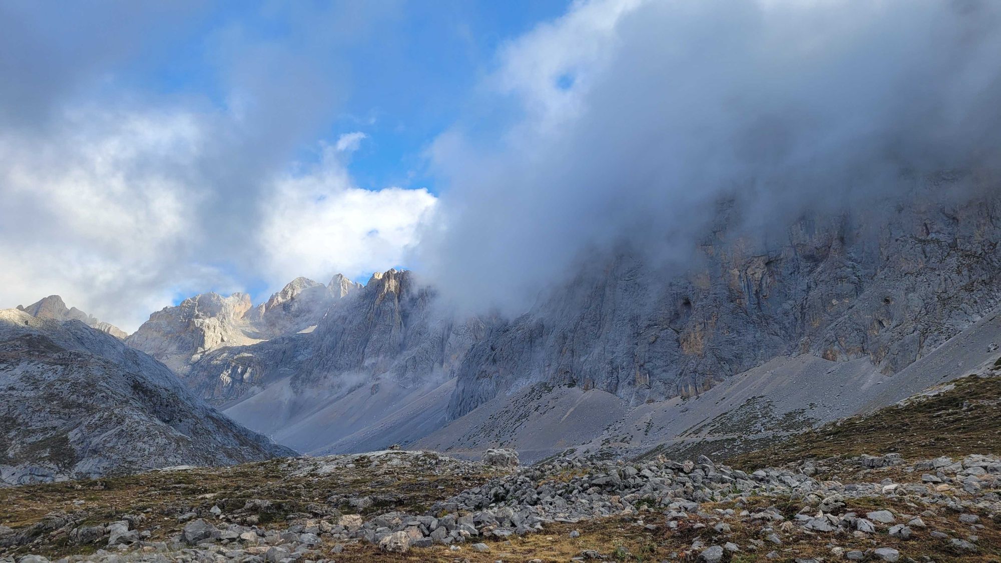
The compact Picos de Europa National Park may only be around 40km across, but this is exciting and challenging terrain, worthy of exploration.
Its highest peak, Torre de Cerreda, scrapes in at 2,650m but its most famous peak is the Bulnes de Naranjo (also know as Picu Urriellu), a sheer slab of limestone rising impossibly from the plateaus that surround it. A rite of passage for Spanish climbers, its gleaming walls and legendary status have earned it comparison with the infamous El Capitan in Yosemite. For hikers, its grippy limestone trails have their difficulties too, with razor sharp edges, crevasses, and vertiginous paths that at times, are almost impossible to follow without proper navigation.
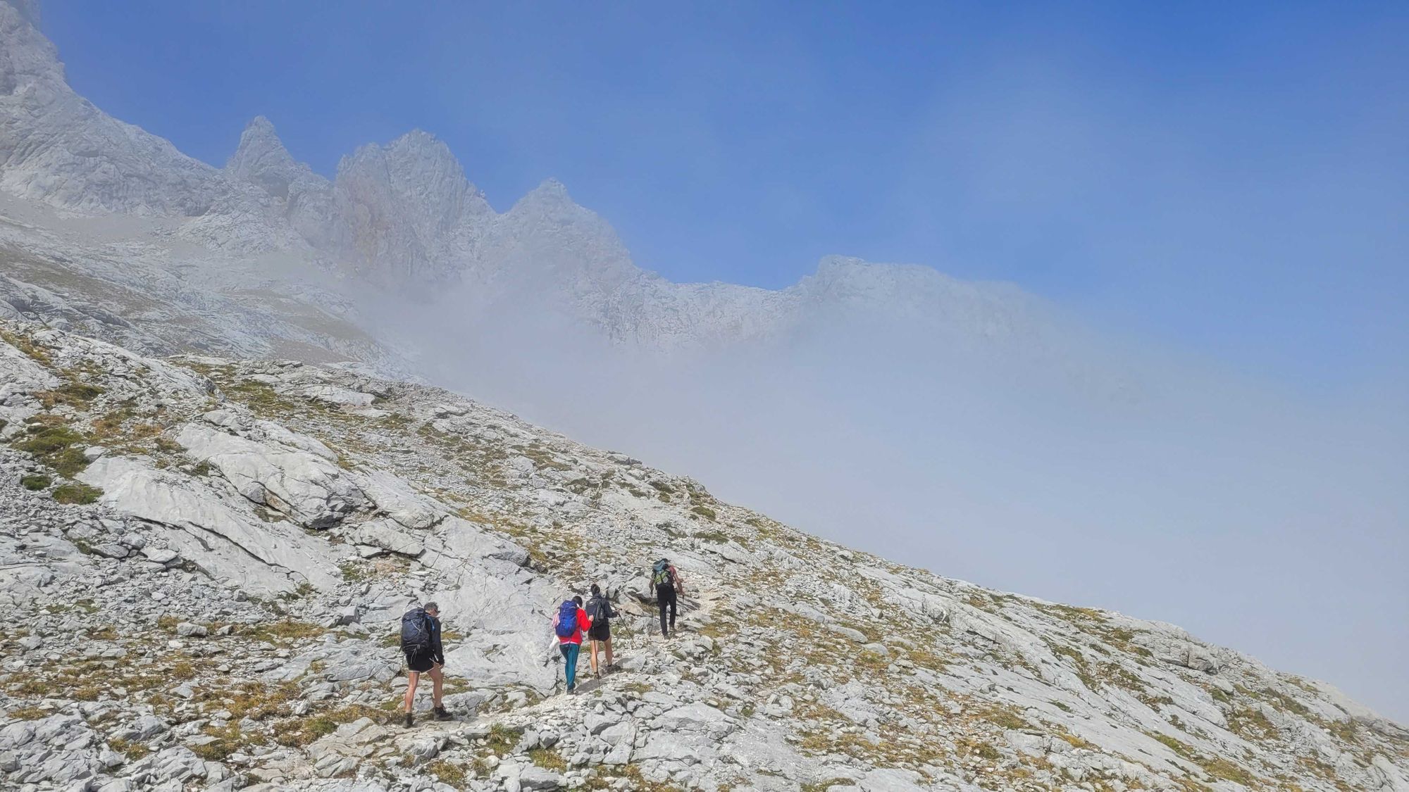
Our plan for the next three days is to be immersed in the peaks, hiking and scrambling from mountain hut to mountain hut. However, with our change of terrain also comes increased changeability of the weather, and our mountain guides have to constantly check this, adapting the itinerary if bad weather is imminent. Ernesto warns us that the forecast for the following day is not good, and we may have to plan an alternative route.
We test our mettle on some short sections of scrambling, then approach our shelter for the night over loose scree, glad of our hiking poles for support. The first drops of rain begin to fall as we approach the Collado Jermoso Refuge, dramatically situated on a sheer edge at over 2,000m, and backed by moody looking clouds. Card games and an enormous meal prove a good antidote to the fierce shower of hail outside our cosy hut.
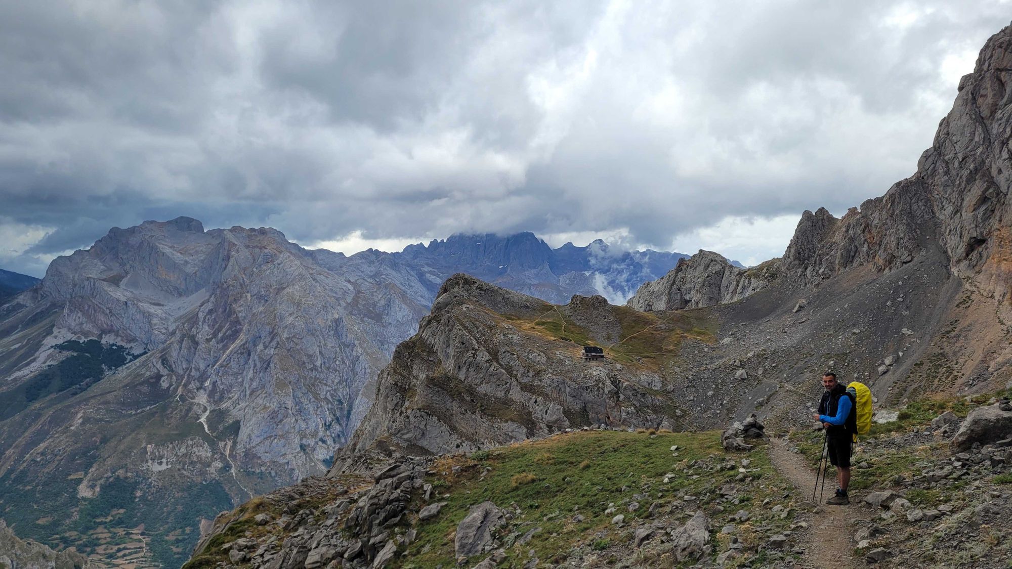
Sure enough, the next morning the spectacular views have been erased by clouds, and it’s wet. Really wet. Trudging through the rain, buffeted by a cold wind and with no visible path, the abrasive nature of the limestone underfoot is a blessing, but it’s not long before we all wish our waterproofs were… well, a little more waterproof. Our plan to head to the Vega de Urriellu Refuge is aborted for safety reasons, and instead we descend into a landscape that, heavy with clouds, now looks more like the highlands of Scotland than Spain. We’re thankful for a hot shower and a good meal to end the day.
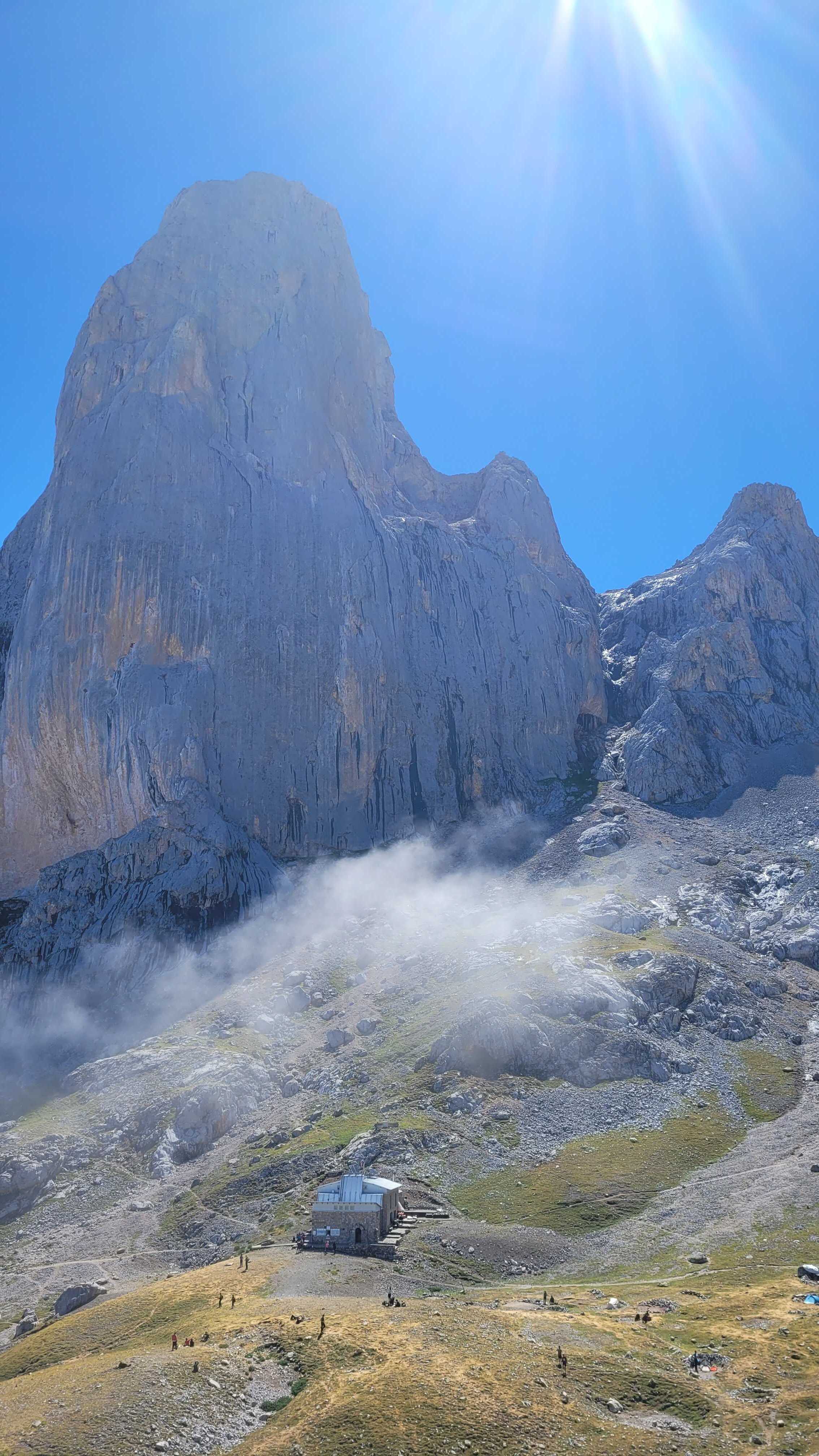
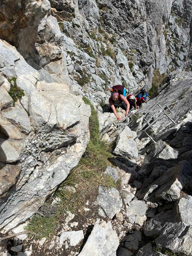
Picu Urriellu; tackling a via ferrata. Photos: Kirsty Holmes & Floor Bremer
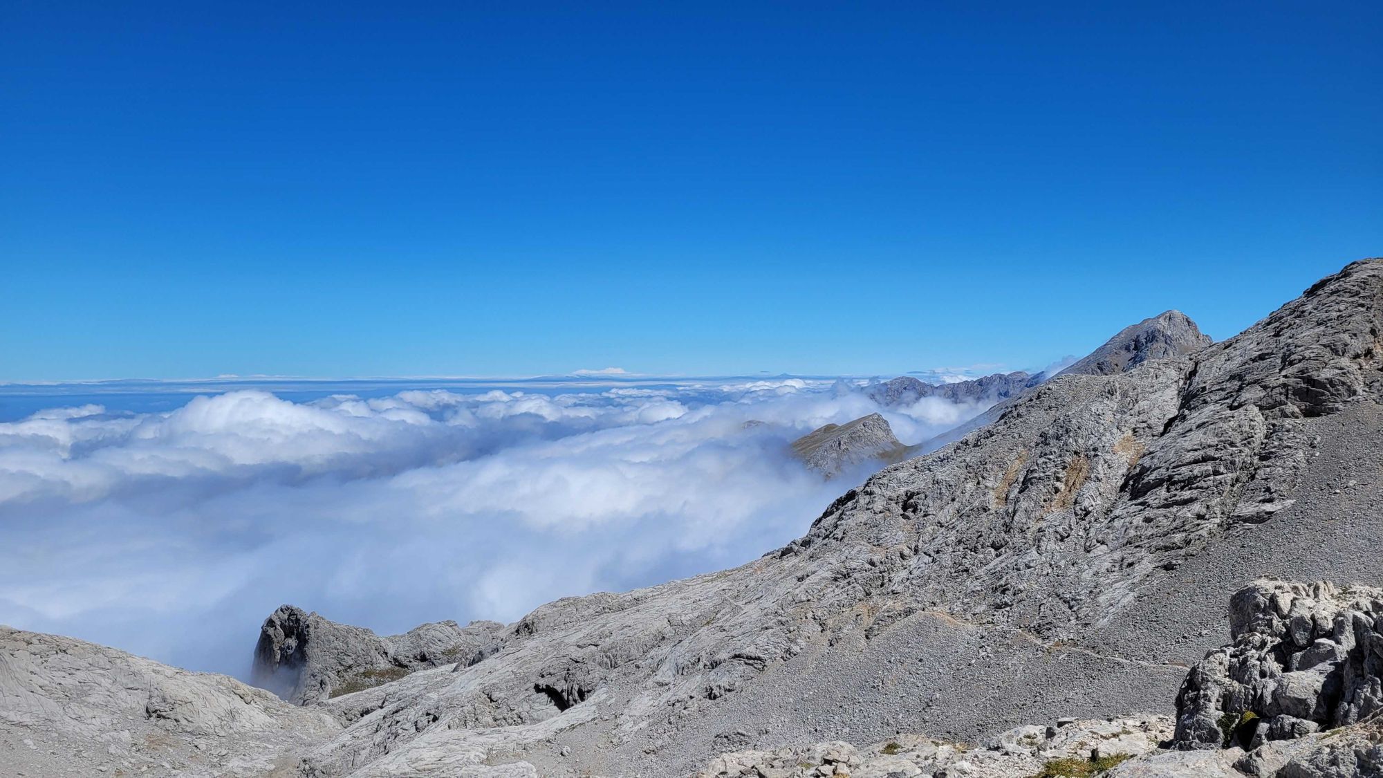
The following day, the clouds hang low but the rain holds off as we hike to Picu Urriellu. As we arrive, the sun finally burns through the shifting clouds and we welcome the warm rays as the dramatic spire reveals itself. Our path ascends until we are above the clouds, the damp of yesterday (almost) forgotten, and the landscape barren and moon-like. The clack of our hiking poles disturbs the occasional wild chamois. Endlessly patient and reassuring, our guides Ernesto and Darío help us clamber up the chains and rungs of a via ferrata as we climb higher and higher, with spectacular views as our reward.
The sight of the Jou de los Cabrones Refuge - and the cool relief of its freshwater spring - is welcome as our group of hot hikers come to the end of the day’s trek.
This magical little refuge sits in a sheltered bowl created by the surrounding summits. Once we’ve claimed a spot in one of the refuge’s 18 bunks and hung our remaining damp clothes out to dry, beers in the sun feel well deserved. Whilst soaking in the majesty of the pinnacles around us, the scent of sizzling chorizo drifts in from the refuge’s kitchen, and the last rays of sun give the peaks a soft peach glow, before night falls and reveals a thousand stars above. With a feeling of utter remoteness, this is a truly special place to stay.
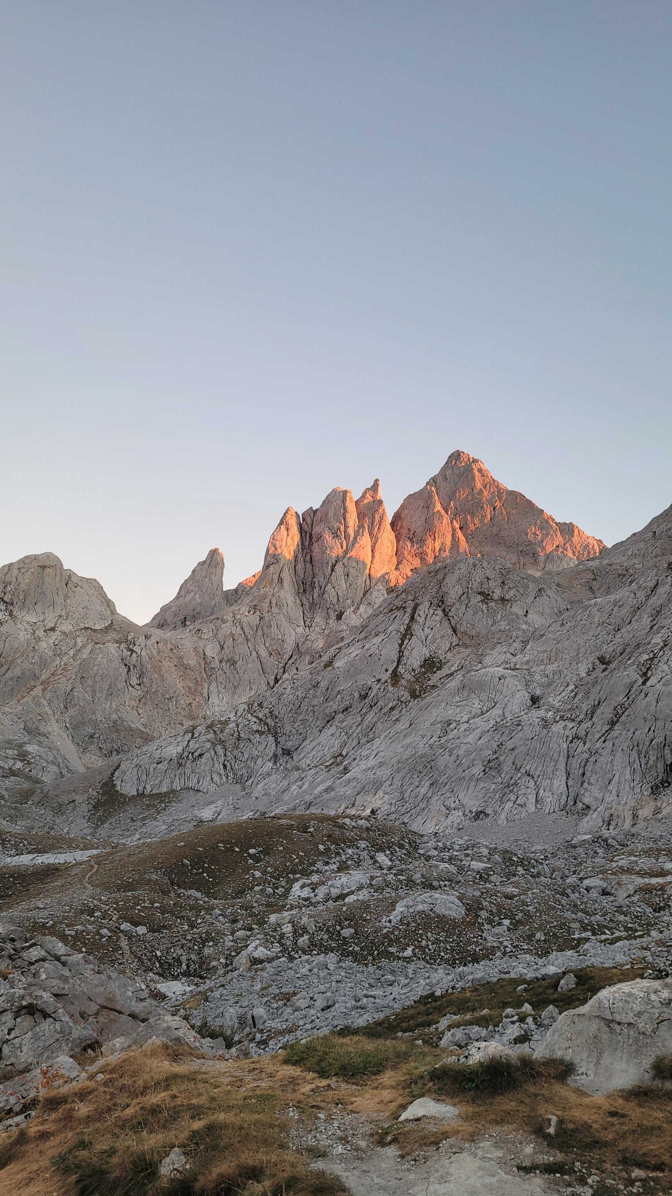
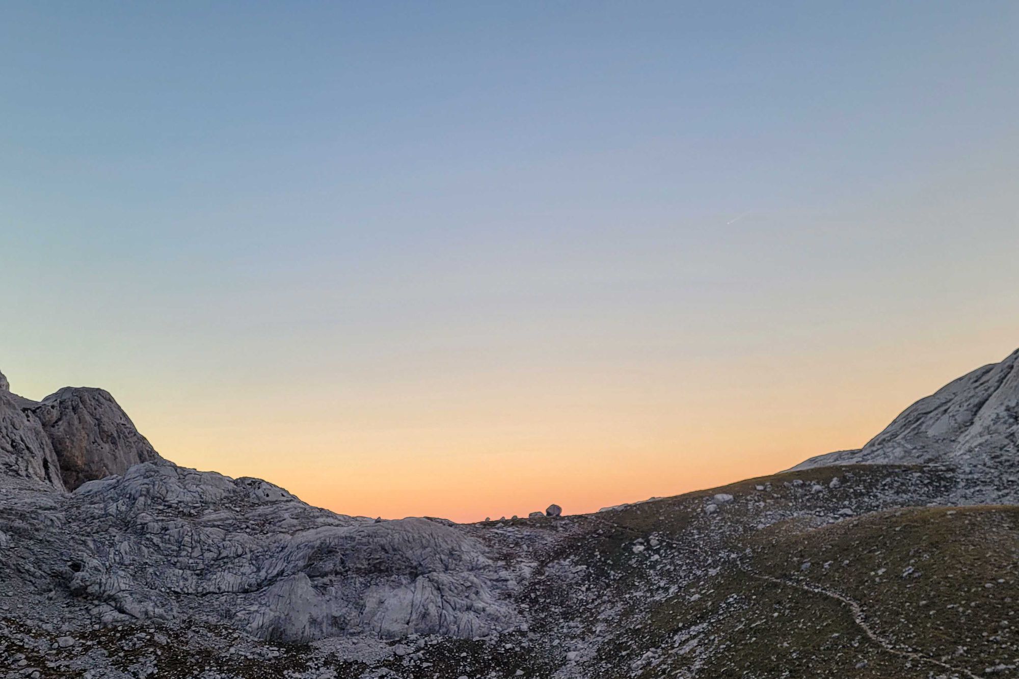
Sunset at the Refugio Jou de los Cabrones. Photo: Kirsty Holmes
Our final day of hiking is no less exciting, with roped pathways and a short section of rappelling to contend with, but we are guided down with knowledge and care by Darío and Ernesto. Incredible views give way to a gravelly slide into the lush, green Canal de Amuesa gorge, before we reach the isolated village of Bulnes for lunch.
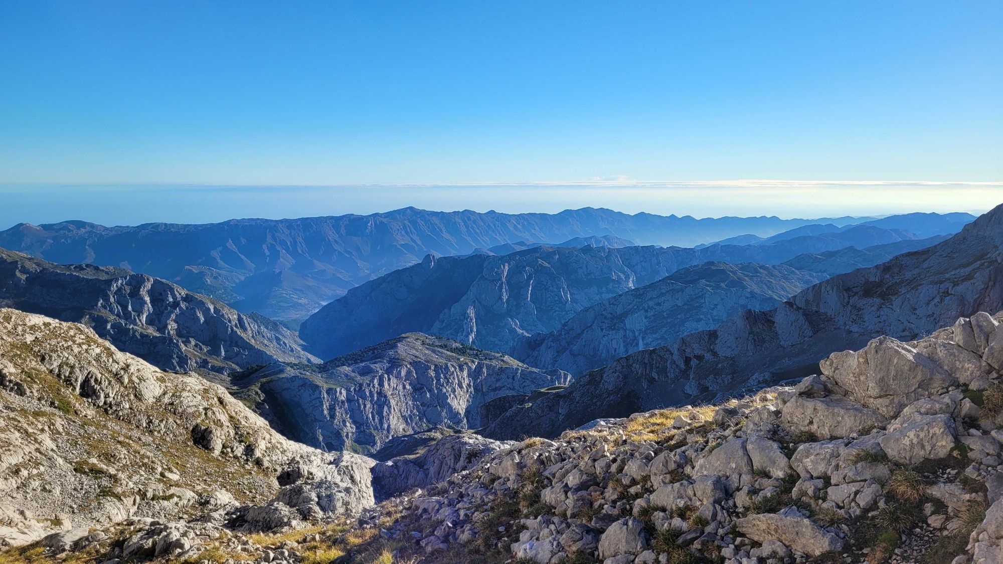
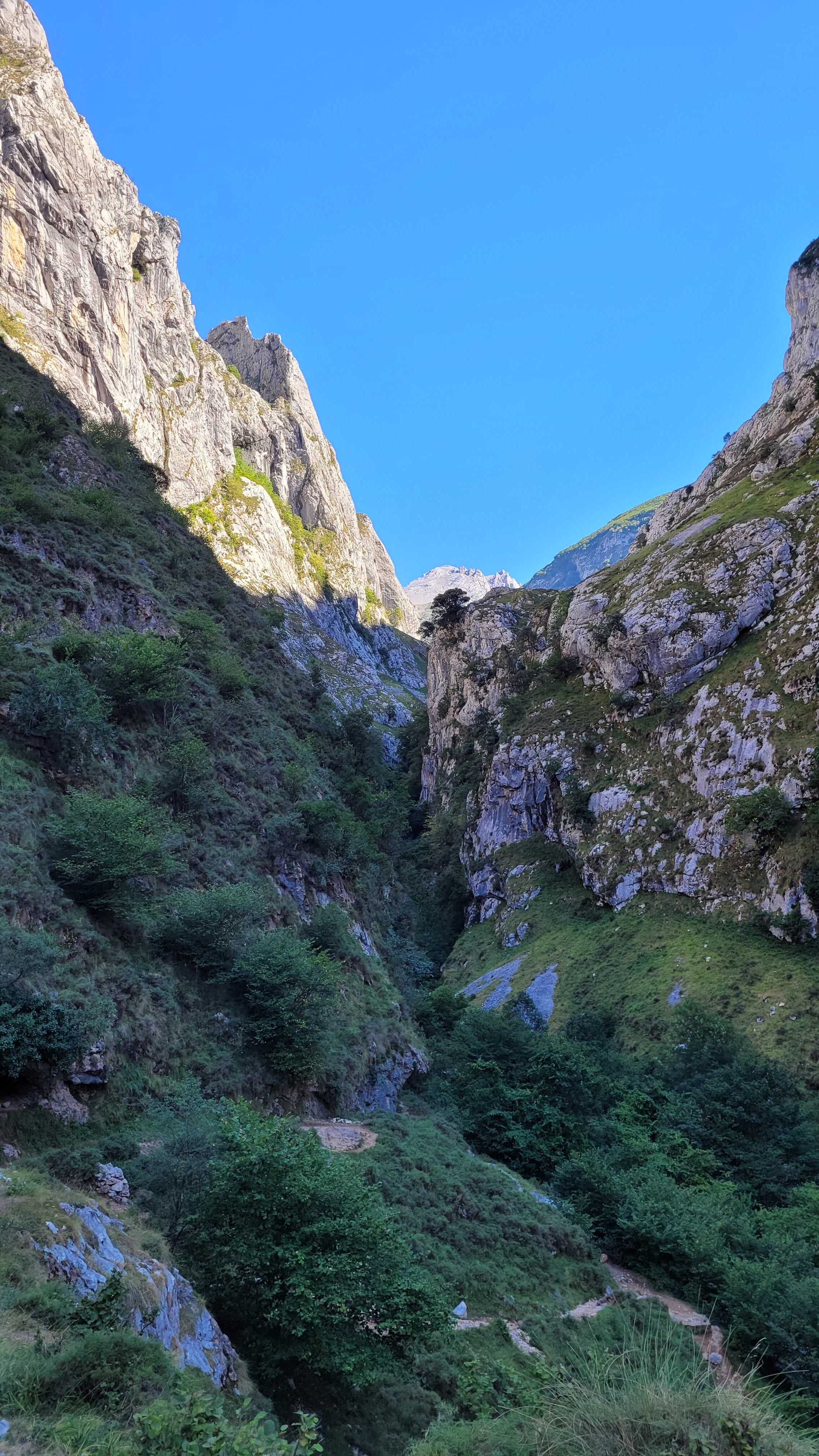
Views north to the Cantabrian Sea; the Canal de Amuesa. Photo: Kirsty Holmes
Until 2001, when a funicular was built linking Bulnes to the neighbouring town of Poncebos, the village was reachable only on foot or by mule. Today, it's a characterful place to stop for lunch and drink in the incredible scenery before the final descent into Poncebos, where our week of trekking ends, following the spectacular path of the Texu gorge.
Entering the village we feel a little scruffy, dirty and dazed to find ourselves back amongst civilisation, but we also have a firm sense of achievement following our journey through this challenging, beautiful and undiscovered corner of Europe.
Inspired? Find out more about trekking in the Picos de Europa, or see all our adventures in Spain.
