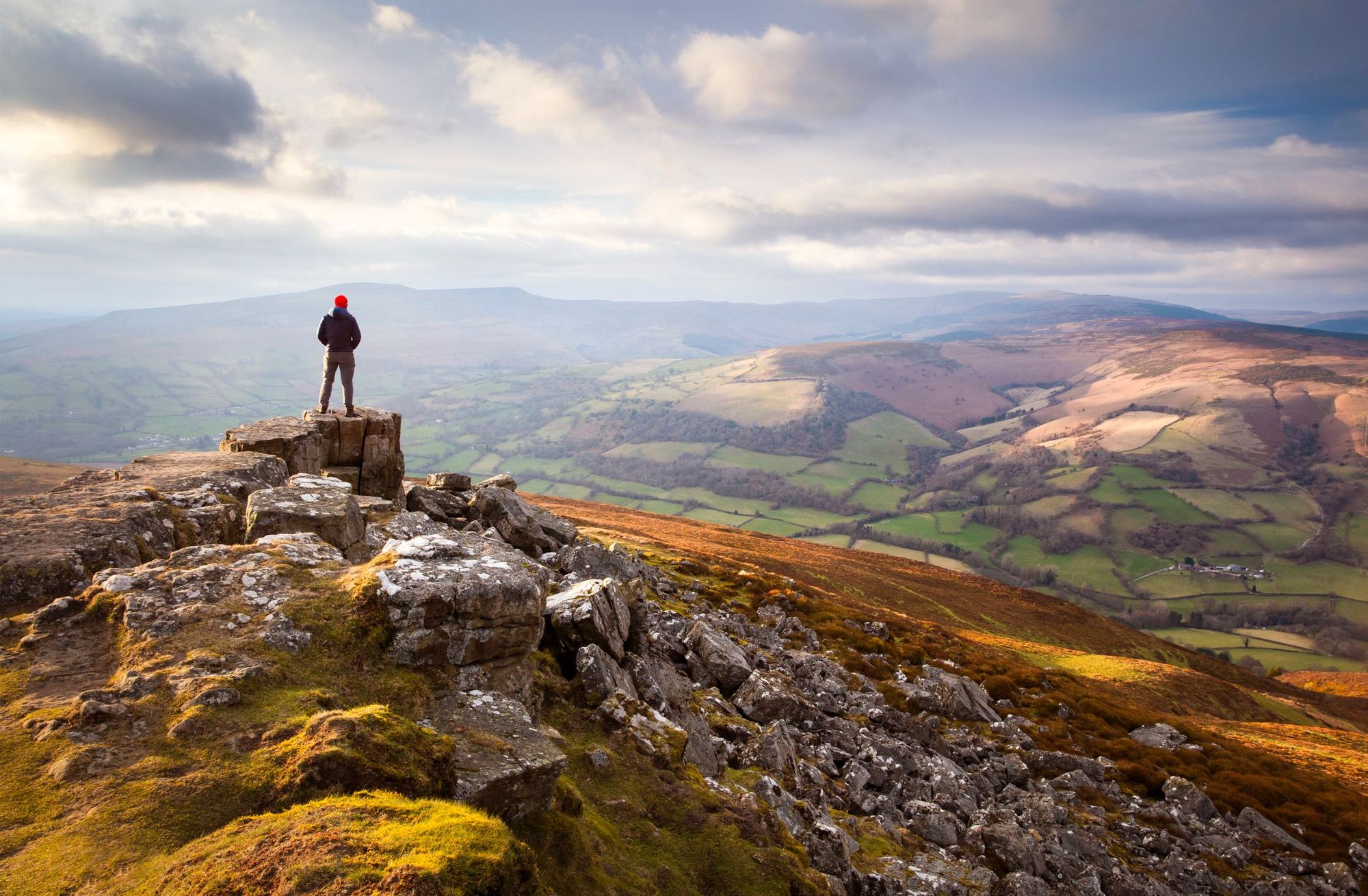
How do you find your way when you head out on a hiking trip? Most people are likely to rely either on a smartphone GPS app or a map and compass. But not Tristan Gooley. He’s a natural navigator, meaning he can orient himself in a landscape using clues and signs from the natural world.
“People think that navigation is a very niche thing to study, for 1% of the population who need to get boats or vehicles from A to B. But when we choose our route to the bathroom in the middle of the night, that's navigating - it's something we all do,” he says.
Natural navigation can tell us where we are and what the weather's going to do from a couple of sensory clues
Tristan has been interested in navigation since childhood, finding joy in finding his way. It became an essential skill for him in adulthood, as he embarked on longer expeditions. He is the only living person to have both flown and sailed solo across the Atlantic.
“I was picking more and more ambitious journeys and I started to notice that there was a quite serious diminishing return, in the sense of philosophical satisfaction. I was doing big expeditions, but I didn’t find them any more rewarding than the short journeys I’d done as a child,” he says.
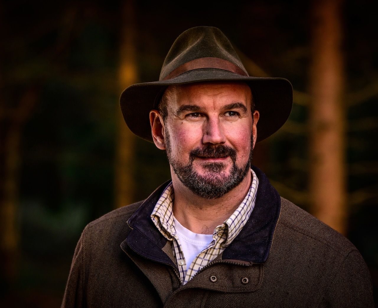
It was in his twenties that he learned that it was possible to find your way using nature instead of instruments. The more he learned, the more satisfaction he experienced.
“I thought that if a mountain was twice as high, you'd have twice as much fun. Now, I'm excited when I spot a change in the grasses or in animal behaviour - clues that are whispering the route to you.
“Natural navigation can tell us where we are and what the weather's going to do from a couple of sensory clues, like what a puff of wind is doing, or the flap of a bird's wings. That's where I feel there's still a lot of rediscovery and a sense of pioneering fun to be had,” he explains.
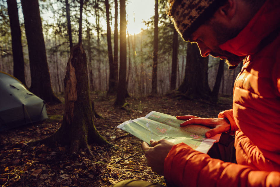
Natural navigation includes everything from orienting yourself according to the position of the sun and stars to interpreting natural landmarks, such as trees and puddles. But it’s not just about wayfinding - it’s also about increasing your awareness of and appreciation for the natural world.
“It's about seeing the richness of the tapestry around us,” Tristan explains. “Most outdoorsy people love maps, whether they're digital or OS. Part of what people like is that it gives them a sense of what's going on around them. It's very satisfying to see the symbols and know you're about to pass through a village with a church, and then cross a bridge over a river. But our ancestors and indigenous people would see that as quite a limited map.
“Once you've learned to read nature's signs, the idea that these features would emerge without warning is ridiculous. A church is related to a community, and a community changes the land around it, which changes the animal and plant life. So things like stinging nettles tell us we're getting close to a village.”
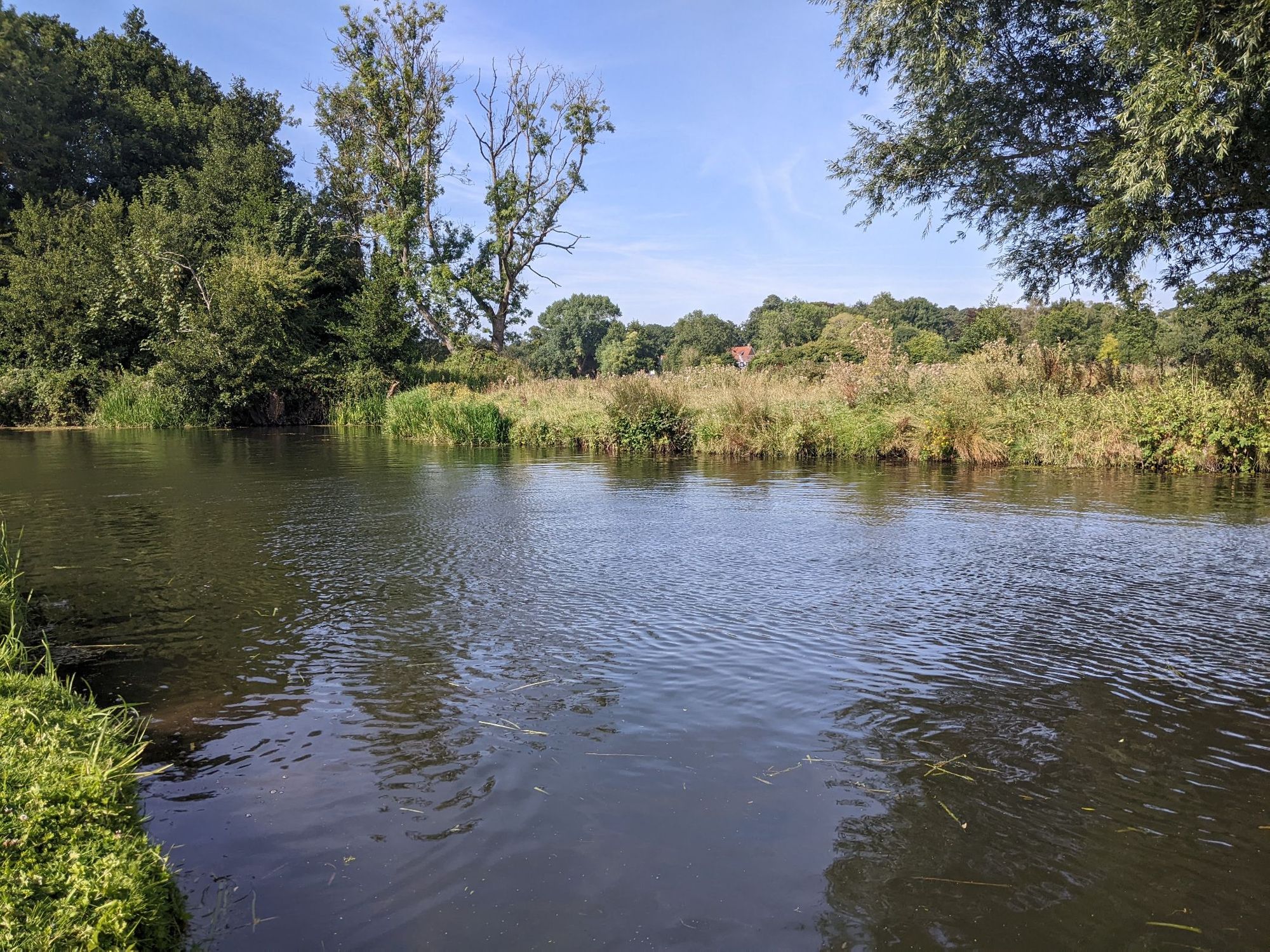
Tristan has spent the past couple of decades acquiring the knowledge to decode the natural world, aware of the fact that he’s rediscovering techniques honed over thousands of years, rather than creating something new. His learning process is threefold - it consists of natural observations, meeting people and learning from them, and more traditional book research. He delves into everything from ancient Greek navigation techniques to contemporary scientific papers, which he uses to help build a picture of the natural world.
He’s particularly interested in navigation techniques from Pacific Islanders, who perfected the art of navigating over land and sea over three thousand years ago - their ideas have helped inform his book How to Read Water and his latest, The Secret World of Weather.

“They are able to sight land miles before it appears, using a technique based on cloud reading. Water is generally cooler, open land is a bit warmer, towns and cities and dark woods are even warmer. The clouds that bubble up, especially the cumulus clouds, are mapping that out for us,” he says.
Natural navigation is a vast and fascinating area of study, so we asked Tristan for a few tips on getting started.
How to Try Out Natural Navigation for Yourself
1. Engage All Five Senses
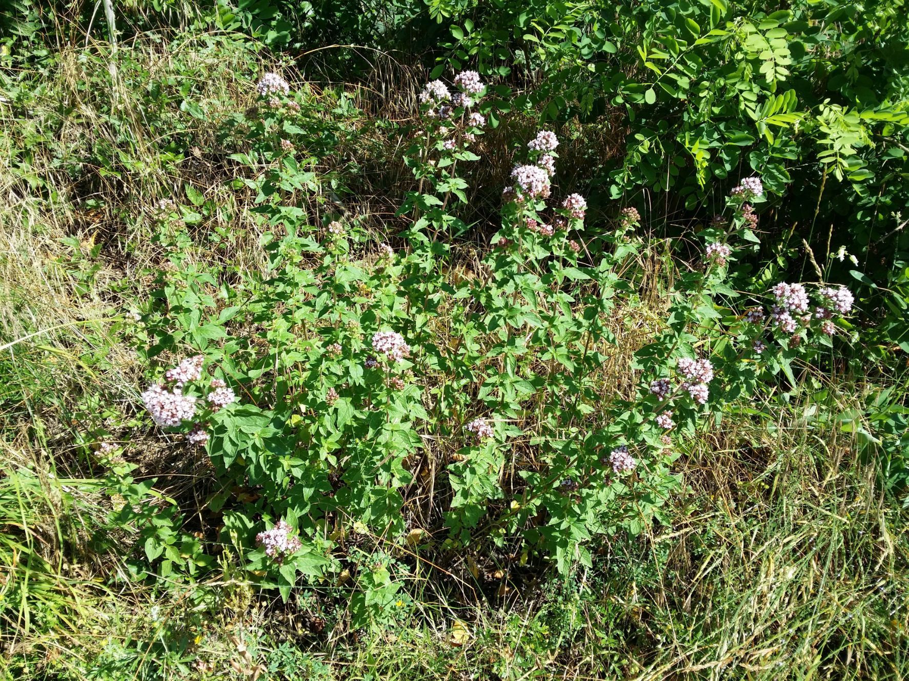
Unlike map reading, which is a visual process, natural navigation draws on all five senses. When you’re out in nature, make sure you’re attuned to how things smell and feel, as well as what they look like. You may be able to tell when you’re near the ocean by the smell of the sea air, for example. According to Tristan, smell can also be used as a directional clue.
“Strong scents are more common in south-facing areas. When we get a strong smell from a plant, that's almost always an oil. Oil is very energy rich, and the energy can only come from the sun, so you tend not to get really strong fragrances on north-facing slopes,” he explains.
2. Seek Out Patterns
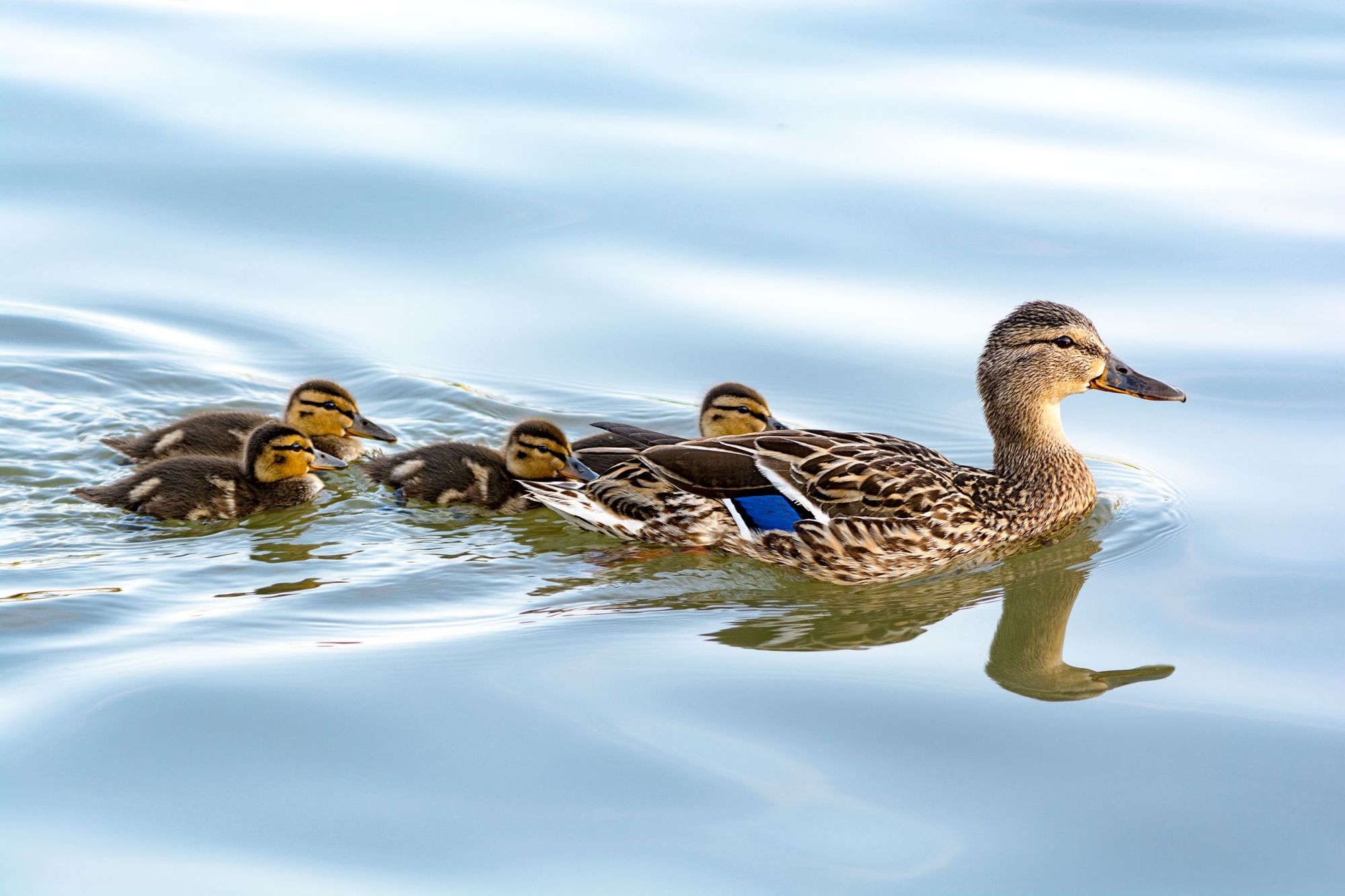
When it comes to natural navigation, it’s easy to get overwhelmed by how much there is to learn. But Tristan is keen to point out that it’s not about how many names and terms you can remember.
“As children, we learn that if we step onto the road without learning about cars we might get squished; we don't need to know the name of the car. It's the same in nature - you can notice the same trees growing next to water, but whether or not you call them willows doesn't matter. Your brain will do the fun part, which is making the connection.”
Natural navigation is about pattern recognition, which is something that human beings, as meaning-seeking creatures, have evolved to do. The more you engage with the natural world in this way, the more adept you become at doing so.
“When you go out, instead of thinking about what you need to remember, you might think ‘those leaves are an interesting shape - why is that? The smaller leaves are on the south side of the tree and the bigger leaves are on the north side of the tree.’ Our brain loves patterns and it loves noticing trends,” Tristan says.
3. Look at the Trees
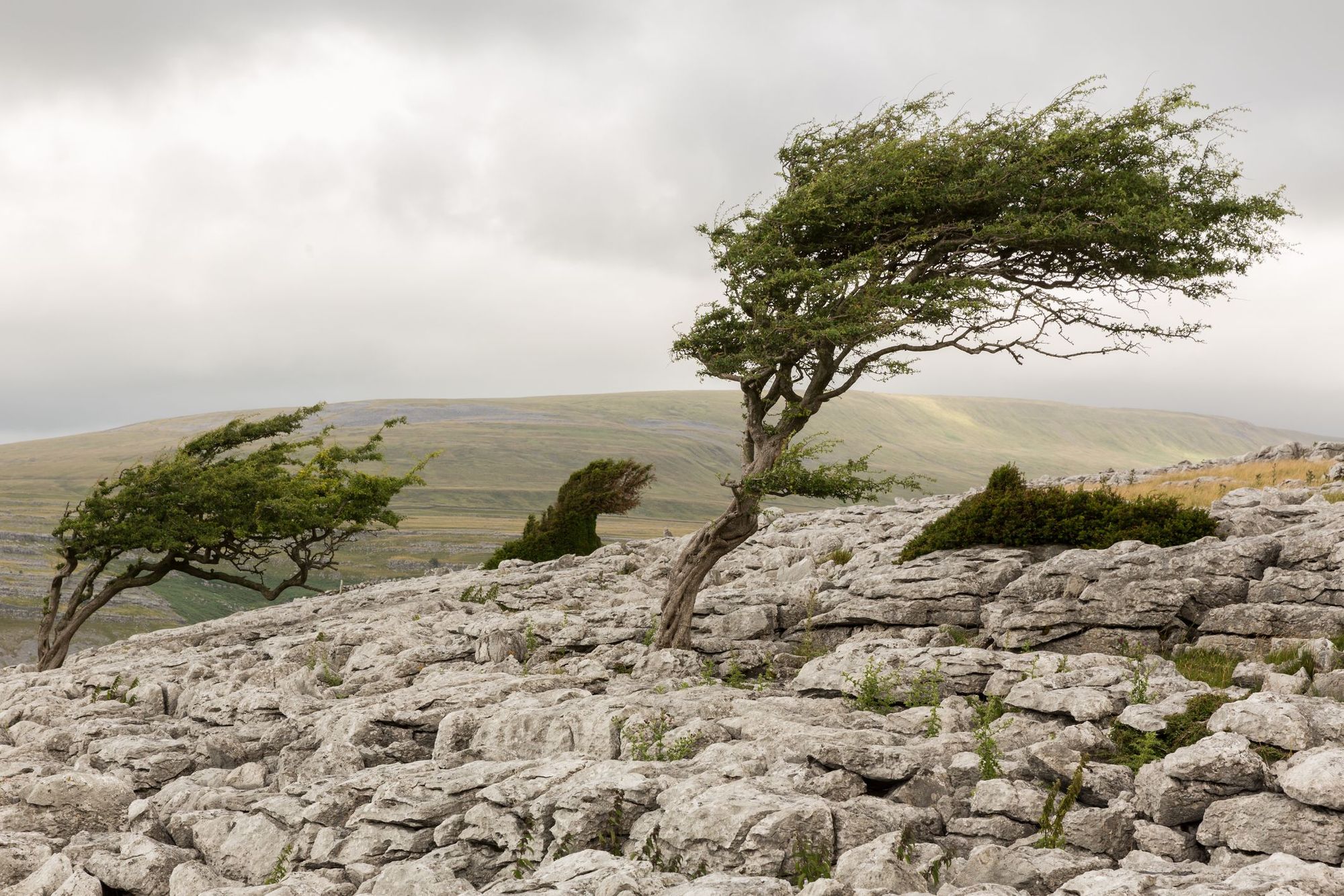
Tristan has gathered and rediscovered more than twenty ways in which trees can help you navigate. They can be placed into two main categories: direction-finding and map-making. An example of the former is looking at a tree’s shadow.
“The sun is due south in the middle of the day (in northern parts of the world, including Europe), which means that shadows are going to point north,” Tristan explains.
“Trees grow bigger on their southern side because they're getting more light from the southern sun. That's also giving us a compass. But understanding that willows grow near water - that’s a map. Beech trees are telling us that the ground is likely to be dry, alders are telling us the ground is likely to be wet.”
He suggests looking out over a valley to see the trees making a map there. Trees can function as an altimeter, as they become shorter as elevation increases, and the species change. You’ll often find conifers at the top of a slope, and above a certain elevation there won’t be any trees growing at all.
4. Have a Go
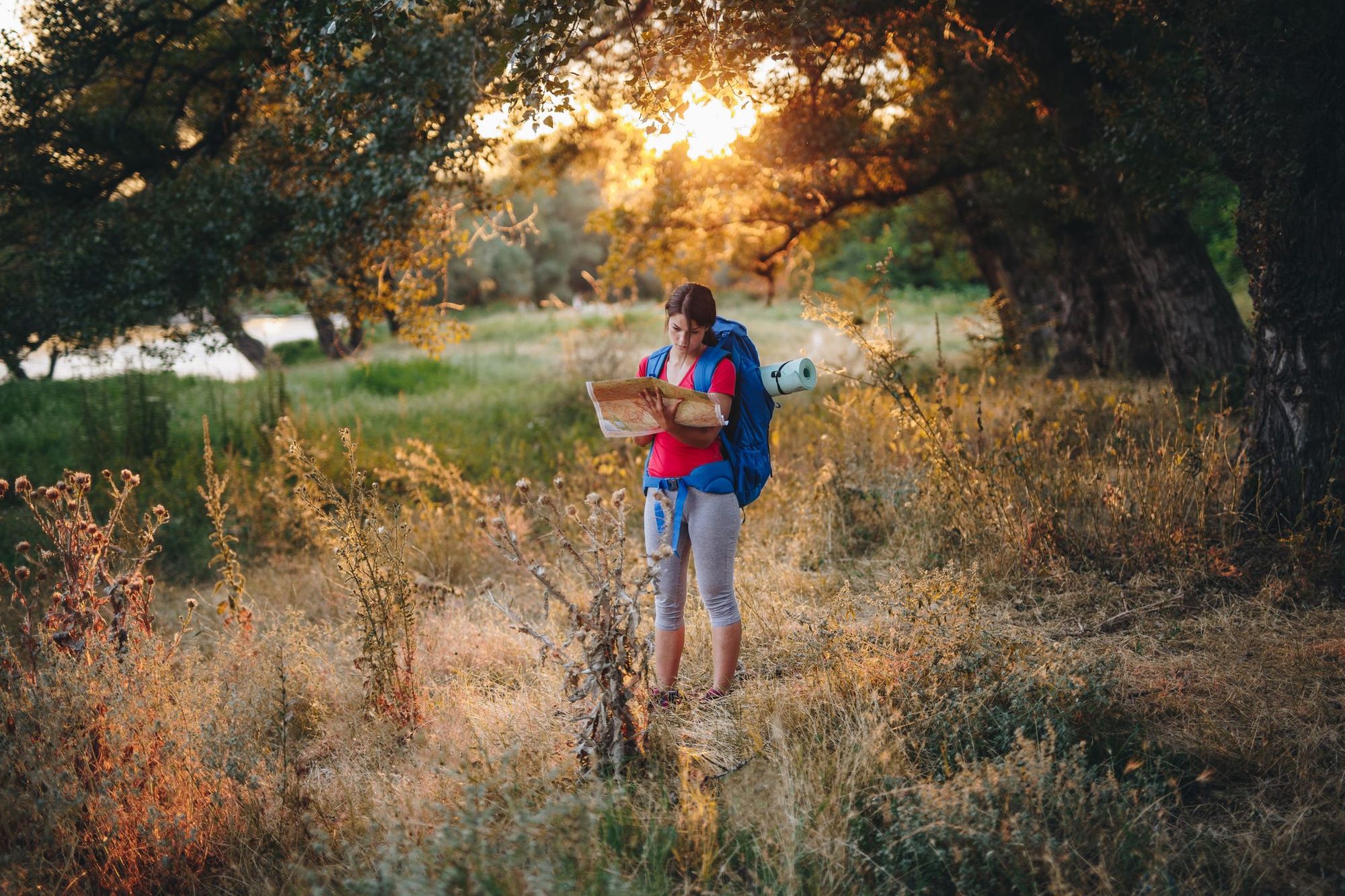
As a quick and easy way to see if natural navigation interests you, Tristan recommends trying it out for yourself when you next go for a walk.
“When you're outdoors, just pick a moment when you think you're going to refer to a smartphone or a map of any kind. Before you do it, see if the landscape will give you the answer that you're looking for, and if you can tell which direction you’re looking in,” Tristan says.
“Then get out the compass or smartphone to check. If you're right, it tickles your brain in one way - if it's wrong, then it's surprisingly entertaining as well. Everything is telling you something - the only question is what.”
- The Natural Navigator (£12.34) is available for purchase from Bookshop.org. Gooley's website, naturalnavigator.com, is also full of information.
Inspired? Check out our Adventure Skills Workshop in the Peak District and our other UK Adventures!
This article contains affiliate links. Which basically means we make a little commission if you click through and buy something. It doesn’t cost you anything, and it just means we can do more good things in good places.


