

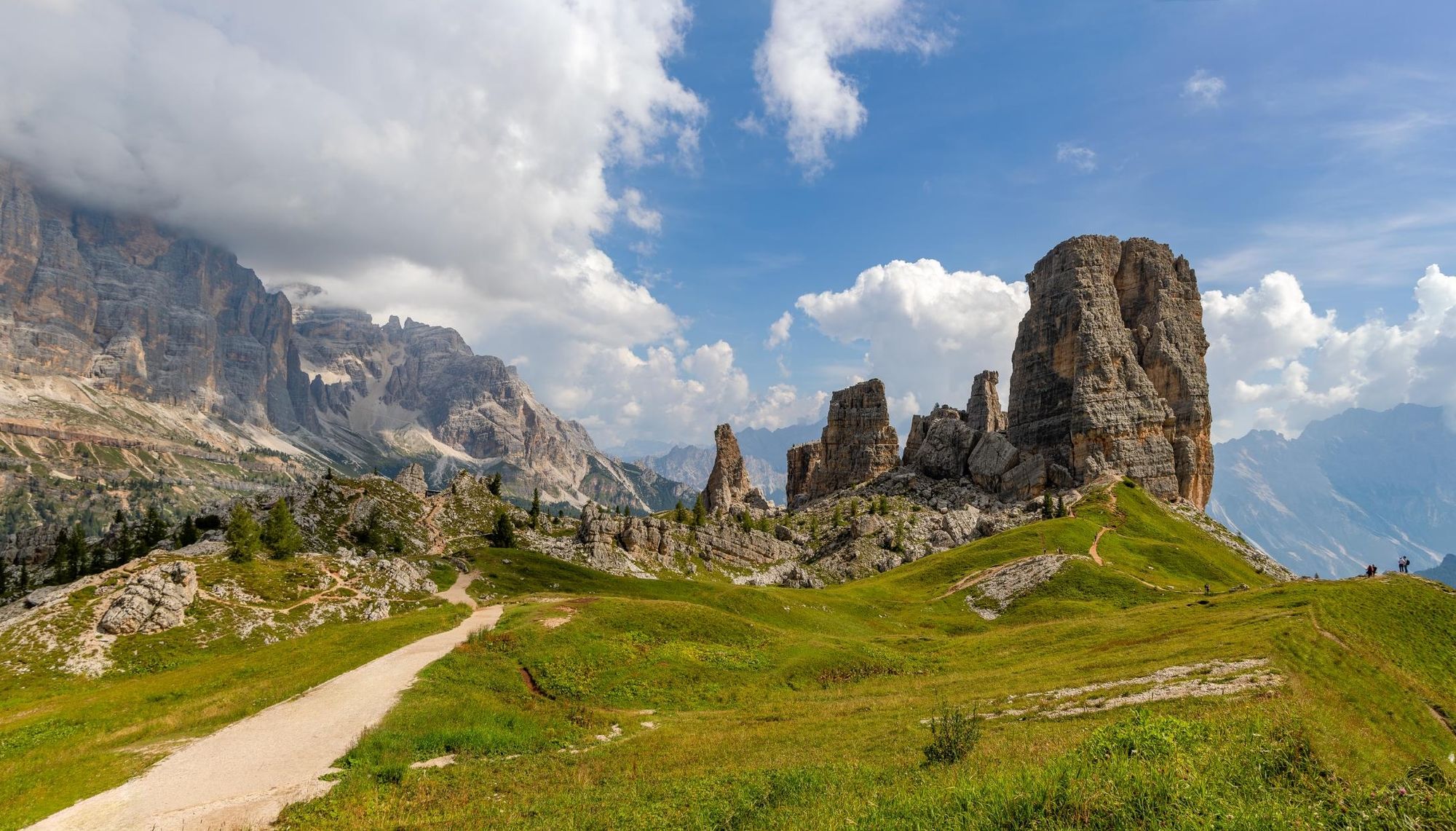
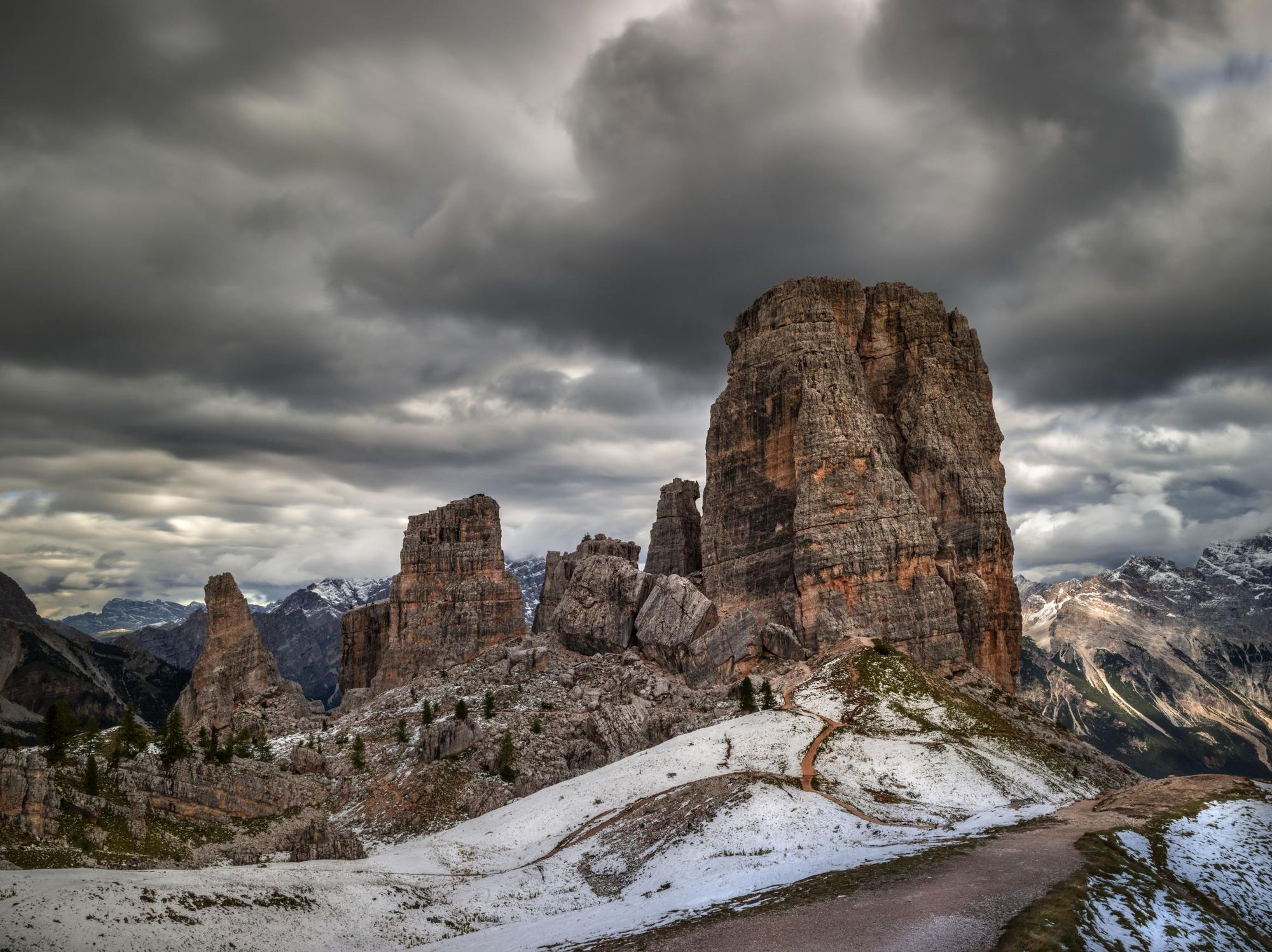
The Dolomites are a mountain range in Italy, renowned for their spectacular rock formations, from sharp pinnacles to serrated ridges. One of the most iconic formations is the Cinque Torri, which translates to ‘five towers’. As the name implies, it consists of five stone monoliths, which rise above the surrounding pastures and foothills.
“The Cinque Torri is located between the Olympic city of Cortina d'Ampezzo and the Falzarego Pass,” says Miki Anastasio, a guide in the Dolomites. “The tallest tower is the Torre Grande, at 2,361m. The other towers are called Torre Seconda, Torre Latina, Torre Quarta and Torre Inglese.”
The towers played a significant role during World War 1, when they were a key location for the Italian troops fighting against the Austro-Hungarian army. The Cinque Torri offered the Italian Army a commanding view of the surrounding valleys and the Austro-Hungarian troops, positioned on the opposite side of the valley. Both sides fortified their encampments with tunnels and bunkers; they created via ferratas to transport goods and troops, which are still in operation today.
I prefer unconventional alternative trails that fewer people know, where you have good views of the Cinque Torri, but you don’t get up too close
Today’s visitors can visit the Cinque Torri Open-Air Museum, walking through the remains of trenches and fortifications. Those with experience can tackle the pulse-raising via ferratas. There are also plenty of hiking trails that pass by the iconic Cinque Torri, including a loop hike that circles the towers.
“The Cinque Torri Loop hike is very popular,” Miki says. “That means it gets busy. I prefer unconventional alternative trails that fewer people know, where you have good views of the Cinque Torri, but you don’t get up too close.”
In this Cinque Torri guide we’ve listed several different hike options, from the loop itself to others for those looking for an alternative to the loop.
Where is the Cinque Torri?
The Cinque Torri is located within the Dolomiti d'Ampezzo Natural Park of northern Italy, near the town of Cortina d'Ampezzo in the Veneto region.
Cinque Torri Hikes
Below, we've provided route descriptions for the Cinque Torri Loop hike alongside some longer, more challenging alternatives. Many of these trails are clearly marked, but they do lead across mountainous terrain. We urge you not to underestimate them, and to travel with adequate clothing and a detailed map.
The Cinque Torri Loop Hike
- Start/Finish: Rifugio Scoiattoli (circuit)
- Distance: 2km (1.2 miles)
- Hiking time: 1 hour
An easy hike which begins and ends at Rifugio Scoiattoli, which most people access by the 5 Torri chairlift (the base station is located next to the Baita Bai de Dones car park). Follow the gravel trail downhill towards Cinque Torri, then take the left hand fork, signposted ‘Great War Cinque Torri hiking trail’ - you’ll soon see a map with an overview of the hike. Continuing on this route, you’ll encounter remnants of World War 1 trenches, bunkers and look out towers.
You’ll reach a fork in the path - take the right fork, blue route 2 (the left hand path is a short diversion to a viewpoint offering spectacular views of Tofana and Falzarego). Keep left when the trail divides, and you’ll end up circumnavigating the Cinque Torri, getting up close and personal to these captivating limestone pinnacles. You’ll pass Rifugio 5 Torri, and from there it’s an uphill climb back to Rifugio Scoiattoli.
To make the hike more challenging, you can hike up to Rifugio Scoiattoli. There is a steep trail that runs under the chairlift, and takes around an hour (one way). However, views being restricted, if you want a longer hike we’d recommend one of the below.
Passo Giau to Cinque Torri Circuit
- Start/Finish: Passo Giau (circuit)
- Distance: 6.3 miles (10.2 km)
- Hiking time: 5-6 hours
This is a longer circular hike which takes in the Cinque Torri across more challenging terrain.
“It starts from Passo Giau and passes through four alpine refuges (Averau, Nuvolau, Scoiattoli and Cinque Torri). During the excursion you will encounter unique landscapes with some of the most beautiful views of all the Dolomites,” says Miki.
To begin the hike, follow the gravel path towards Ra Gusela. Take a left at the first fork, following path 452 - you’ll return via the right hand path (although there’s nothing to stop you hiking in a counterclockwise direction). Cross an area of loose rock before climbing steadily uphill to Refugio Averau, where you’ll have views of the Cinque Torri and the rugged Tofana mountains beyond.
You will encounter unique landscapes with some of the most beautiful views of all the Dolomites
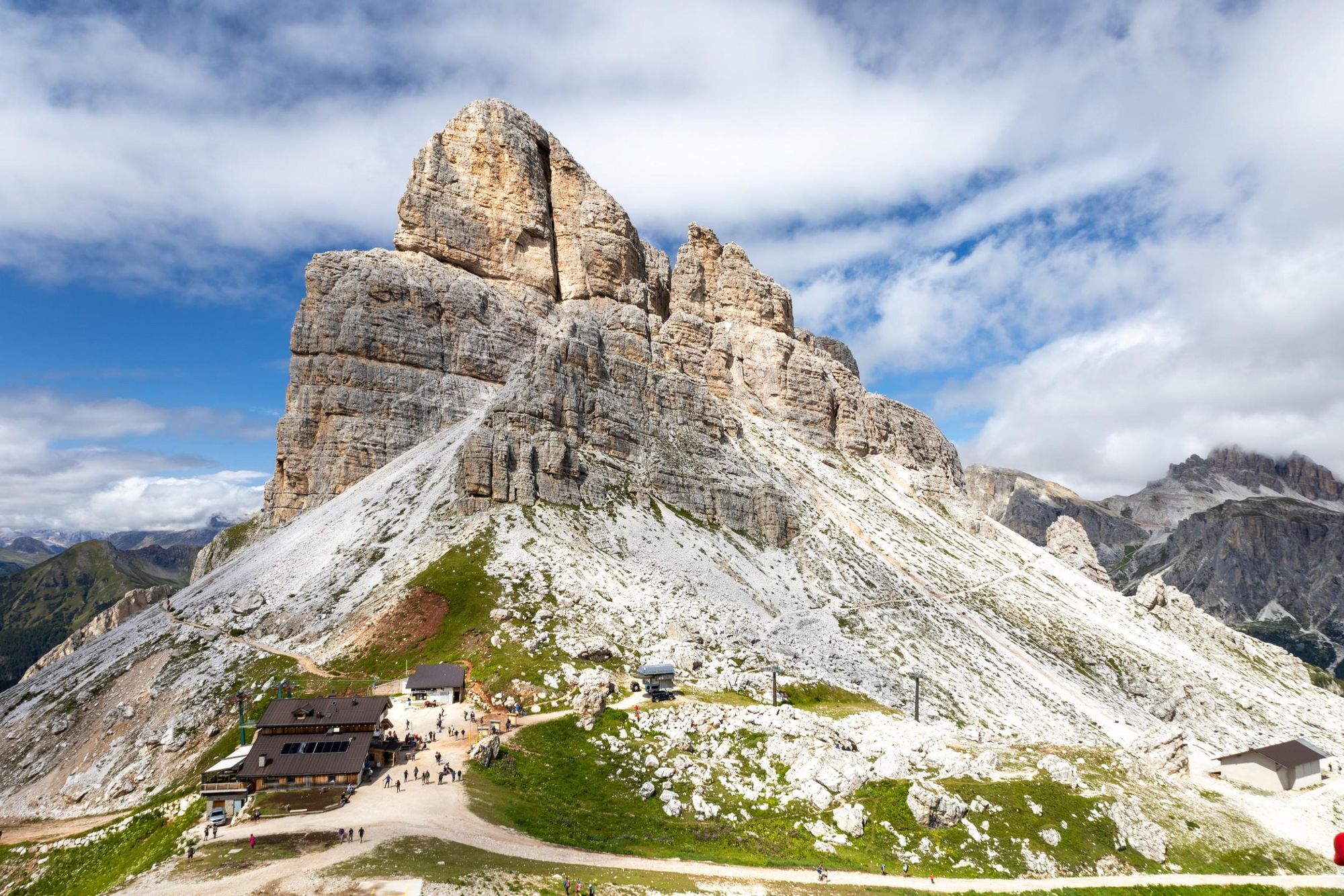
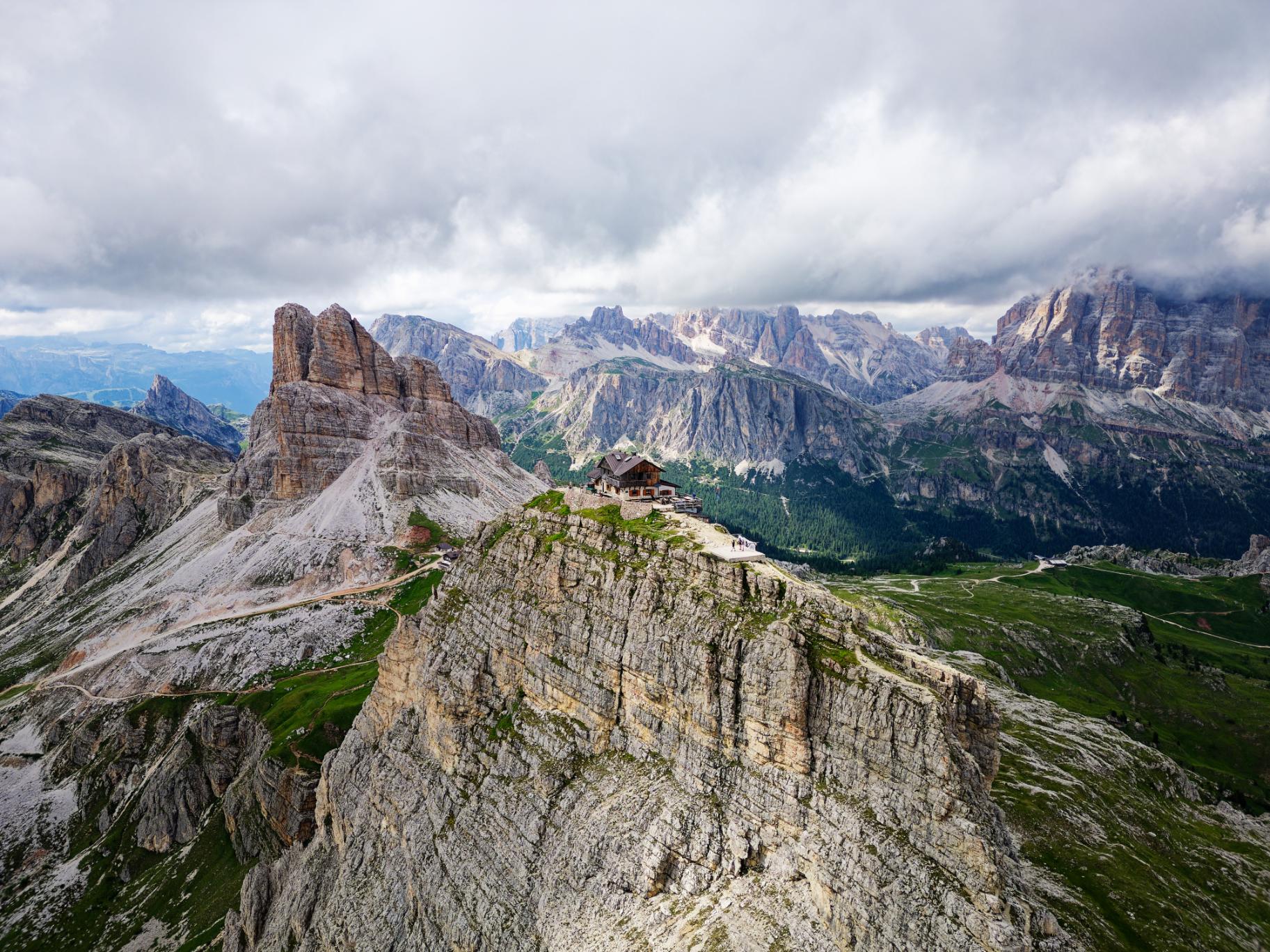
If you’d like to add to your hike, you can climb up to Rifugio Nuvolau, which is perched on a cliff edge at an altitude of 2,575m (8,448ft) and offers one of the best panoramic views in the Dolomites. It’s around 20 minutes of uphill hiking, following the path behind Refugio Averau. Descend the way you came.
From Averau, continue along the path until you reach the Cinque Torri. It’s worth taking some time out to explore the trenches and barracks surrounding the towers. You’ll find Refugio 5 Torri on the south side of the rock formations. Continue back to Passo Giau along trail 443, which leads between high limestone cliffs and up a series of steep switchbacks.
“The first part of the trail is suitable for the whole family, but once you pass the Cinque Torri refuge, then it becomes slightly more difficult,” Miki says. “There is a greater altitude difference to deal with some slightly exposed and stepped points.”
Passo Giau to Passo Falzarego
- Start/Finish: Passo Giau/ Passo Falzarego (point to point)
- Distance: 6.2 miles (10km)
- Hiking time: 4-5 hours
This point-to-point trail can be hiked as part of a longer, multi-day hut-to-hut trail.
“It begins at Passo Giau, which is between two places, Cortina d'Ampezzo and Selva di Cadore,” Miki says. “You start to walk directly on the Passo Giau, until you reach Nuvolau and Averau, where you have amazing mountain views. You can stop here for lunch.”
From Averau, descend across scree fields and rocky slopes until you reach the saddle, Forcella Averau. The path leads through a steep gully before reaching a marked crossing - turn left to head towards Croda Negra.
You’ll cross several gullies before reaching a plateau. Follow the path across the eastern slopes of Croda Negra. It gradually descends, offering excellent views of the surrounding peaks. When you reach a crossing, take a slight right and descend across grassy slopes to Passo Falzarego.
Croda da Lago Circuit
- Start/Finish: Ponte di Rucurto (circuit)
- Distance: 7.8 miles (12.5km)
- Hiking time: 5-6 hours
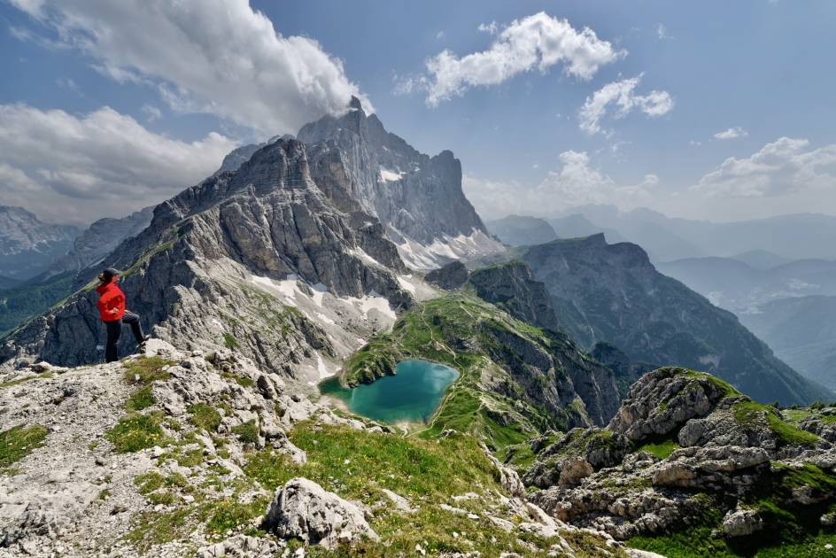
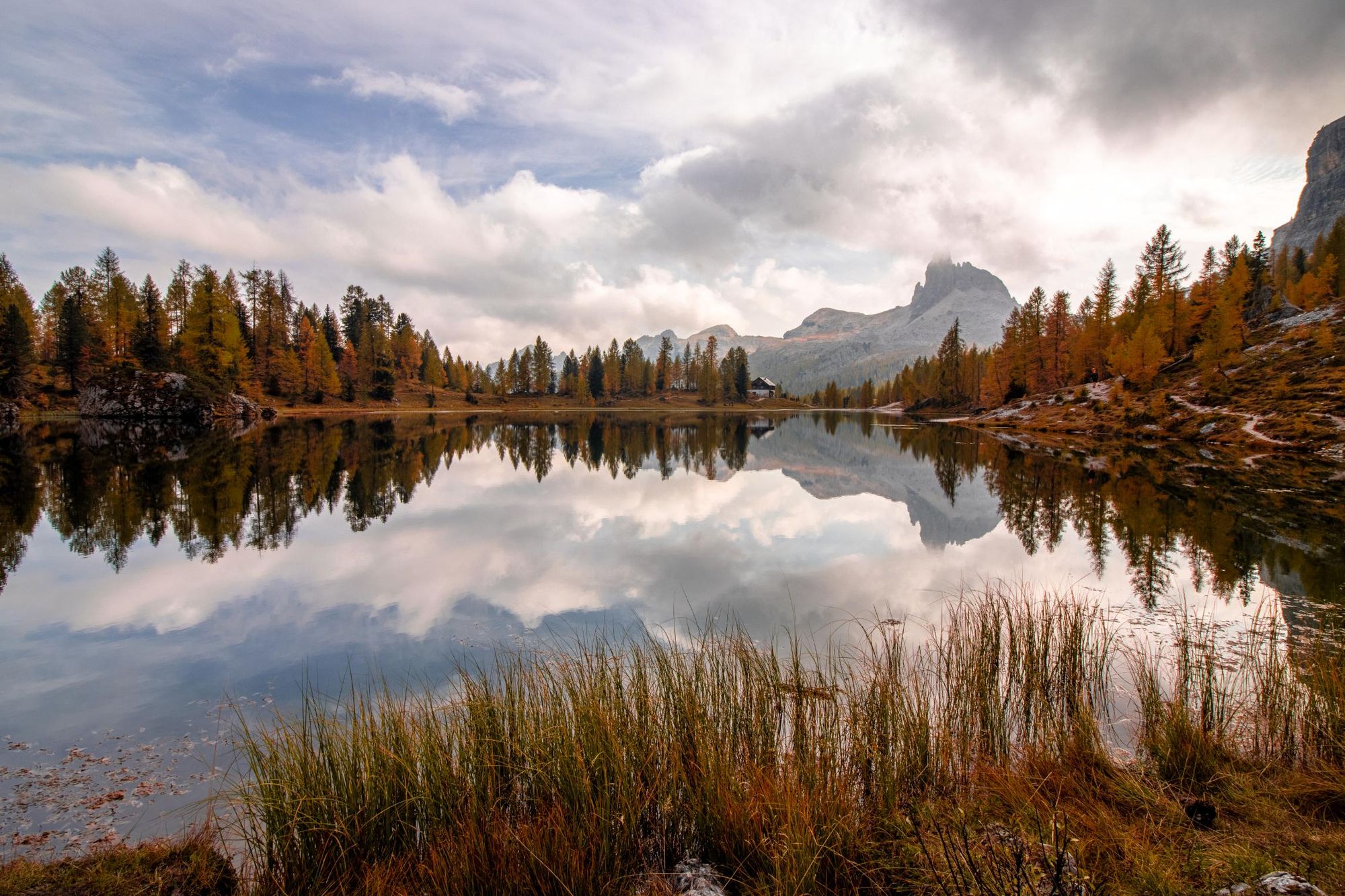
This hike circumnavigates the jagged Croda da Lago peak and the tranquil waters of Lago di Federa. Although it doesn’t lead directly to the Cinque Torri, you’ll get some excellent views of the rock towers along your hike.
Beginning at the Ponte di Rucurto, you’ll follow a path through the forest, crossing a river via a wooden bridge. Head uphill to the crossroads demarcating the circuit. We recommend hiking clockwise, so carry on straight (along path 434). It’s a steep zig-zagging route uphill - a lookout just off the path provides some amazing views of the Cinque Torri.
Continue uphill until you reach pretty Lago di Federa. Turn right and circumnavigate the lakeshore until you reach Refugio Palmieri. Continue along the path to Forcella Ambrizzola, taking the right hand fork onto path 436 and, shortly after, right again onto path 435 (both clearly marked). From here, you’ll be climbing steeply uphill across a boulder field towards Forcella de Formin, the highest point along the trail at 2,462m (8,077ft).
Descend the Forcella through more boulder fields before entering the larch forest. Take path 437 to complete the loop and return to your starting point.
Via Ferrata Routes Around the Cinque Torri
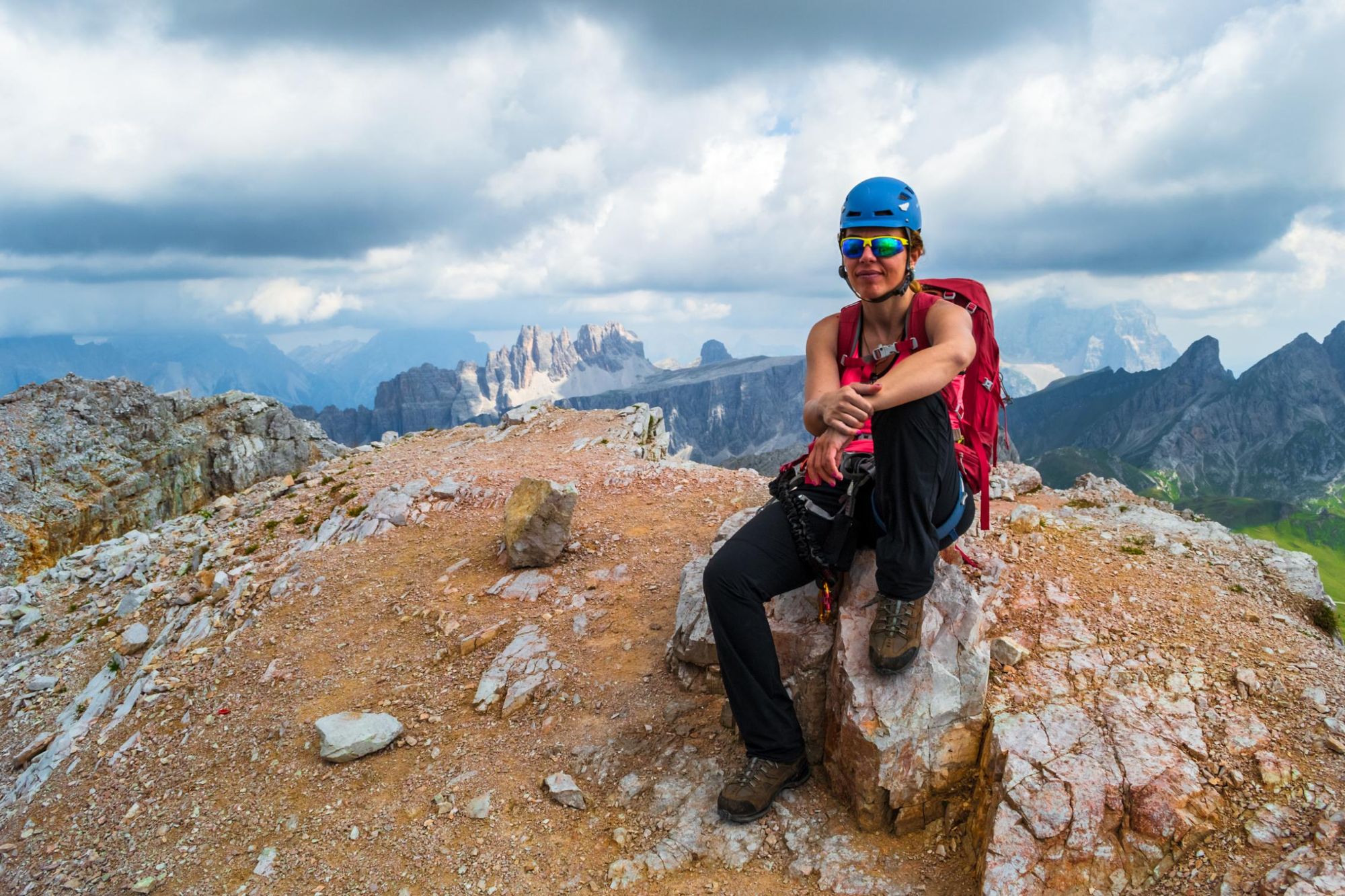
There are numerous via ferratas in and around the Cinque Torri. However, we’d only recommend that you undertake these with an experienced guide, who will provide you with the correct training and equipment.
Via Ferrata Monte Averau
This via ferrata begins at the Refugio Averau. You’ll climb a 10m traverse with good handholds, vertically along a wall. At the junction, follow the route left through a narrow chimney and up a vertical slab over a ledge. Follow the cairns to the summit - remember to take a moment and enjoy the view from the top.
Via Ferrata Ra Gusela
A more technically challenging via ferrata, taking you to the summit of Nuvolau, and beginning at the 438 signpost near Refugio 5 Torri and Passo Giau. The route begins with a 10m traverse, followed by a challenging climb without handholds. At the junction, the left route with stepladders is mainly used for descent. The right route requires climbing a vertical slab, continuing over a ledge, and ascending through an equipped groove. Follow the cairns to the summit cross.
Where to Stay Near the Cinque Torri
Near Cinque Torri, stay in mountain refuges like Rifugio Fedare, Refugio Nuvolau or Rifugio Averau for direct trail access and panoramic views. For more options, Cortina d'Ampezzo offers hotels, lodges, and guesthouses about 30 minutes away. Book in advance during peak season.
Miki also recommends staying in the nearby village of Selva di Cadore.
“It’s located in the heart of the Dolomites, in the province of Belluno,” she says. “Here you will find uncontaminated woods, excellent food, cycle paths, indelible views, snow in winter and boundless prairies in summer.”
The Best Time to Visit Cinque Torri
The best time to visit Cinque Torri is from June to September. These months offer warm temperatures, clear skies, and ideal conditions for hiking and climbing. Shoulder seasons like May and October offer fewer crowds but cooler weather.
You can hike - or rather snowshoe - in the lower altitudes near Cinque Torri during the winter months. However, Miki cautions against the higher altitude hikes featured on this list.
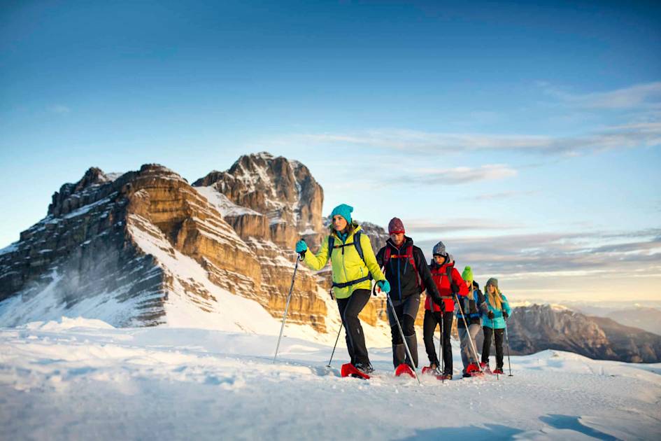
“These are places where people go in summer. In wintertime we visit the surroundings, an area called Fanes-Sennes-Braies,” she says. “In winter, there are not so many places where you can go trekking with snowshoes, because we’ve had problems with avalanches these last five years. This is because it’s very cold during the night and very warm during the day, so the snow has no chance to attach to the mountain. It's dangerous to go to high altitudes.”
How to Get to Cinque Torri
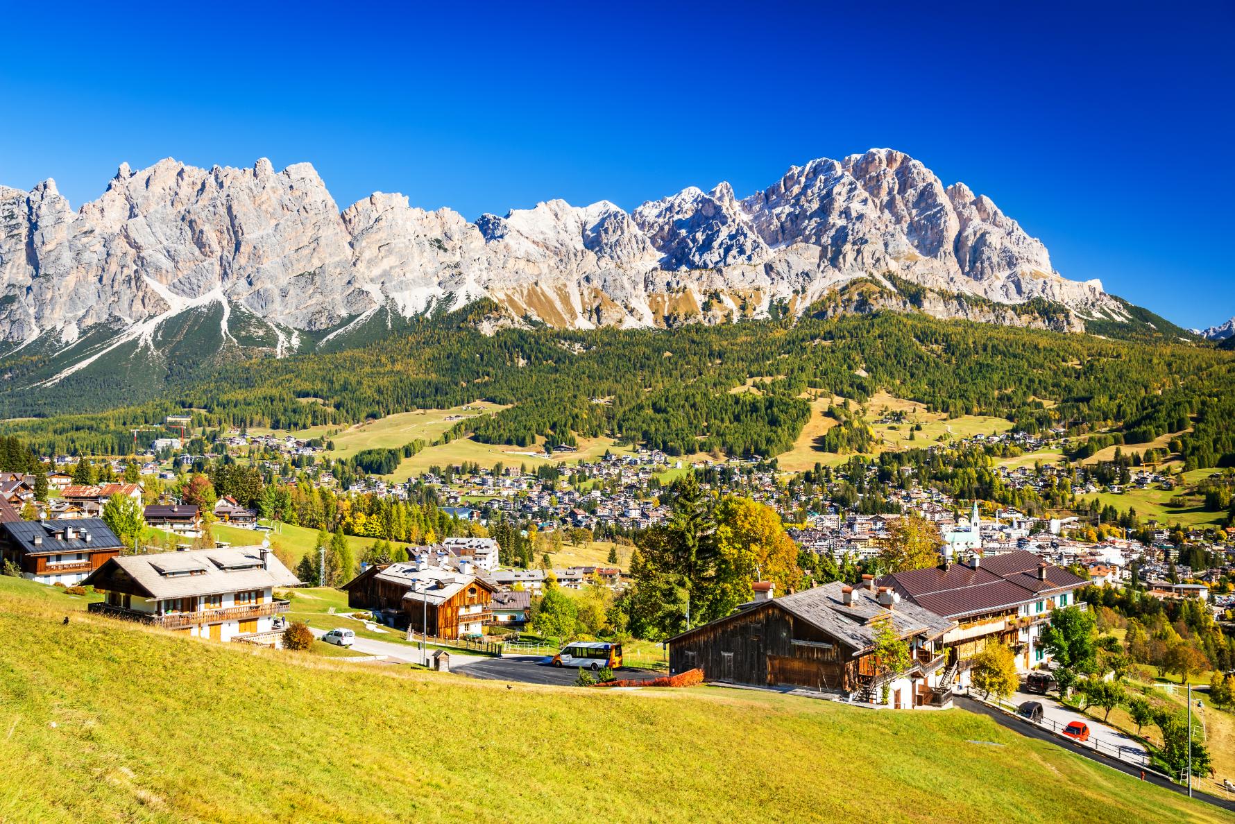
The closest town to the Cinque Torri is Cortina d’Ampezzo. To get to Cortina d'Ampezzo, fly into Venice Marco Polo Airport or Treviso Airport. From Venice, take a direct bus (2-3 hours) or rent a car for a scenic drive.
To get from Cortina d'Ampezzo to Cinque Torri, drive or take a Dolomitibus to the Bai de Dones parking area (20-30 minutes). From there, ride the Cinque Torri chairlift or hike up to the towers. In winter, ski lifts provide access. Some of the hikes on this list will, however, have different start points.
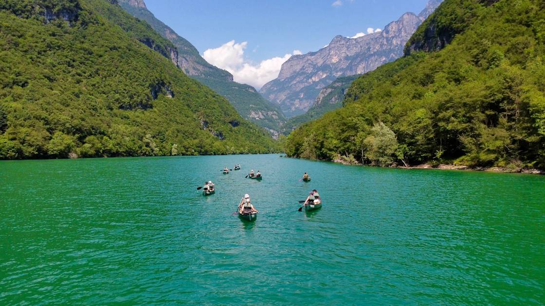
Inspired? Visit Cinque Torri on our Hike, Bike and Canoe in the Dolomites adventure, and check out our other Dolomites adventures.