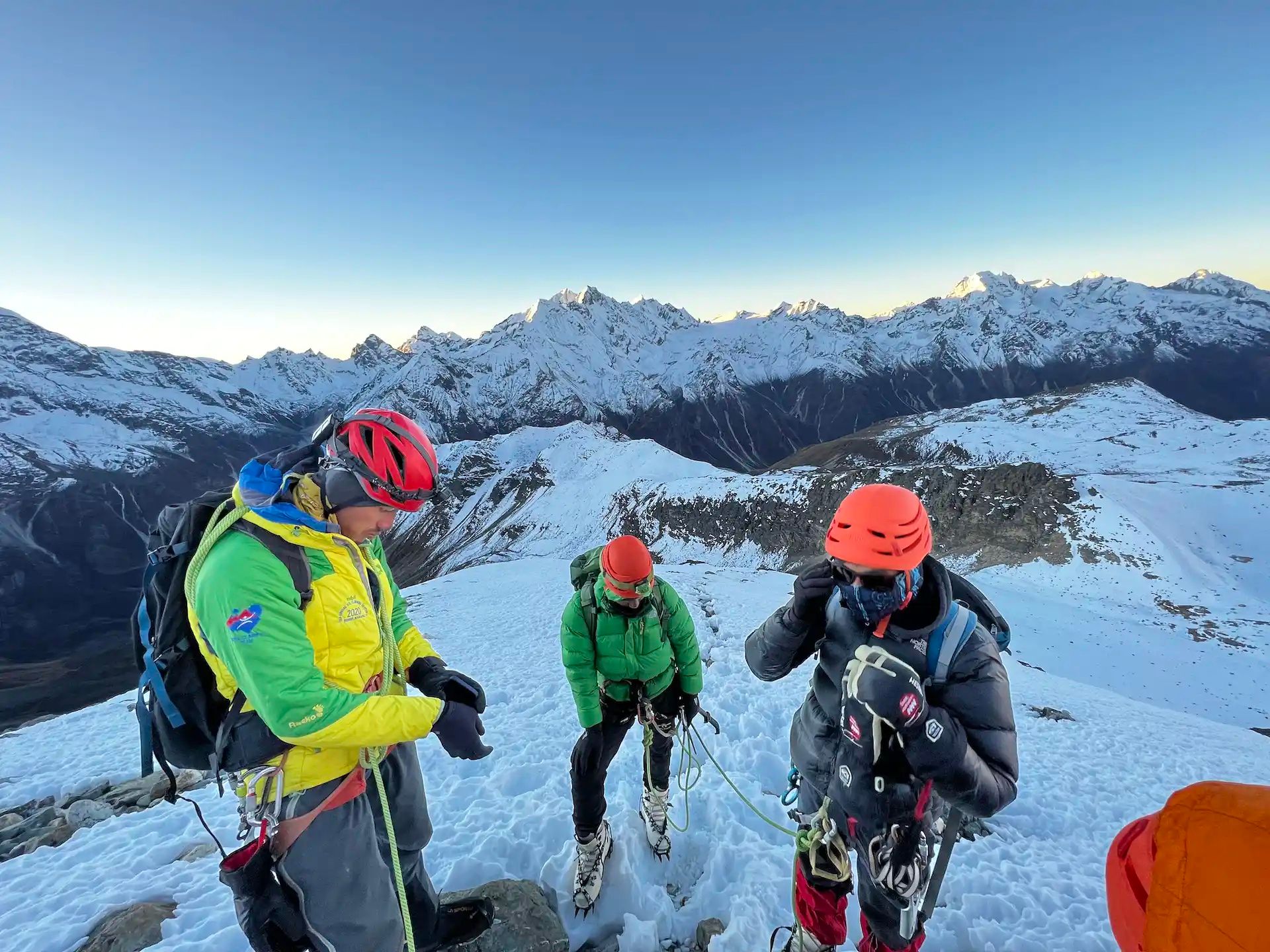
Yala Peak is located in Langtang National Park in north Nepal. At 5,550m (18,044ft) it’s one of the few non-technical peaks in the Himalayas - however, its difficulty should not be underestimated. On summit day you’ll leave base camp when it’s still dark, climbing steadily upwards as the day lightens.
It will take between four to six hours to reach the summit - you'll arrive at around sunrise. The views from the top are ample reward for your uphill climb in the dark. You’ll be encircled by mighty Himalayan peaks, like Shishapangma (8,027m/26,335 ft) and Langtang Lirung (7,234m/23,733ft), their glaciated summits gleaming in the early morning light.
Yala Peak attracts people who want to try climbing a peak around 6,000 or 7,000m, but they don’t know how their body is going to feel. It’s a peak for people who want to try climbing a big mountain for the first time...
Reaching Yala Peak involves a four day trek through the Langtang Valley, which winds through dense forest, past hamlets inhabited by the Tamang people (of Tibetan ancestry) and across suspension bridges over glacial rivers.
“There’s amazing biodiversity within the region,” says guide Himal Pandit. “You’ll walk through hemlock and rhododendron forests. Langtang is also one of only two regions where you have the possibility of seeing the red panda, an endemic species in Nepal.”
We spoke to mountain guides Sunil Pariyar and Himal about what to expect when climbing Yala Peak. Here’s everything you need to know to plan a trip.
Please note: On the 1st April 2023, the Nepal Tourist Board (NTB) made changes to the trekking laws for all foreign trekkers, cyclists, and mountain climbers visiting Nepal's mountain regions and national parks. All trekkers (solo or in a group) must now be accompanied by a licensed guide. To learn more about what this means for you, read our update on the Nepal trekking requirements.
Where is Yala Peak?
Yala Peak is located in the Langtang region of Nepal, within the Himalayas. It lies to the north of Kathmandu, close to the Nepal-Tibet border, and is part of the Langtang National Park.
How Hard is it to Climb Yala Peak?
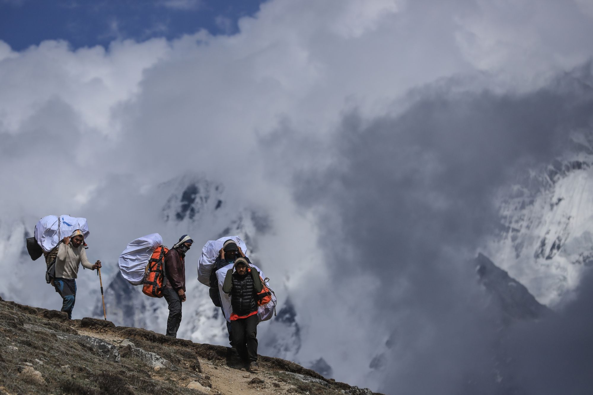
The Yala Peak trek can be broken down into two distinct phases—the Langtang Valley trek to Yala Base Camp (4,600m/15,091ft), and the ascent from base camp to the summit of Yala Peak (5,500m/18,044ft).
The trek through the Langtang Valley involves hiking for between six to 11 miles per day (10 to 18 km), normally over a period of four to five hours. If you’ve completed multi-day treks before, then you shouldn’t experience difficulties with this one. However, do be aware that several days of the trek do take place at very high altitude—in particular, the stage from Kyanjin Gompa (3,860m/12,664ft) to Yala Base Camp (4,600m/15,091ft)—which can make you tire more easily than usual.
“We’ve designed the route in such a way that it will minimise altitude sickness, ascending only 500m a day, and having a rest day,” says Himal. “It’s a successful trek - we haven’t had any major incidents along the route before. There have been a few people getting minor symptoms of altitude sickness, but never anyone who had to be evacuated.”

Yala Peak is a trekking peak, meaning it doesn’t require technical mountain climbing skills. However, to reach the summit your guides will set up a fixed rope for extra security, and crampons and ice axes might be required—both of which you will be taught how to use.
“Yala Peak attracts people who want to try climbing a peak around 6,000 or 7,000m, but they don’t know how their body is going to feel. It’s a peak for people who want to try climbing a big mountain for the first time and include some trekking in the experience,” Himal says.
Yala Peak attracts people who want to try climbing a peak around 6,000 or 7,000m, but they don’t know how their body is going to feel
However, do not—we repeat, do not—underestimate the difficulty of climbing Yala Peak. The climb from base camp to the summit involves almost 900m of ascent over moraine, loose rock and sometimes even snow, depending on the season. You’ll reach the summit for sunrise, then face the long journey back down, past the base camp and on to Kyanjin Gompa.
“We usually leave at two or three o'clock in the morning,” says Sunil. “There’s several reasons for this. One reason is that if somebody is slower, it gives us more time to get to the summit and back. The other thing is that in the morning, there is no snow, no sun and most importantly, no wind.”
The dark, the cold temperatures (according to Sunil, temperatures at Base Camp regularly drop to -17°C or -18°C) and high altitude all contribute to making this a test of your physical and mental limits. However, the success rate of Yala Peak is high (around 95%), meaning it is achievable for those who have done adequate training and preparation.
Climbing Yala Peak: The Route Through the Langtang Valley
According to Himal, there is one main route to climb Yala Peak, with several variations.
“From the start of the trek to Kyanjin Gompa (where you’ll find the last tea house), there is only one route available through the Langtang Valley, which takes four days,” he says. “But from Kyanjin Gompa to the base camp there are two routes. The one we use is called the Caravan Route and there’s also another one. We prefer the Caravan route as it goes through the valley, and is safer. The other one goes through the trees, which were uprooted during the earthquake. Then, there’s one route from the base camp to the summit.”
The route listed below is the one which Sunil and Himal use when taking groups on a trek through the Langtang Valley and up to the summit of Yala Peak.
Day 1: Syabrubesi to Lama Tea House
- Hiking time: 6 hours
- Distance: 8.6 miles/ 14 km
- Ascent profile: 1,000m up/ 100m down
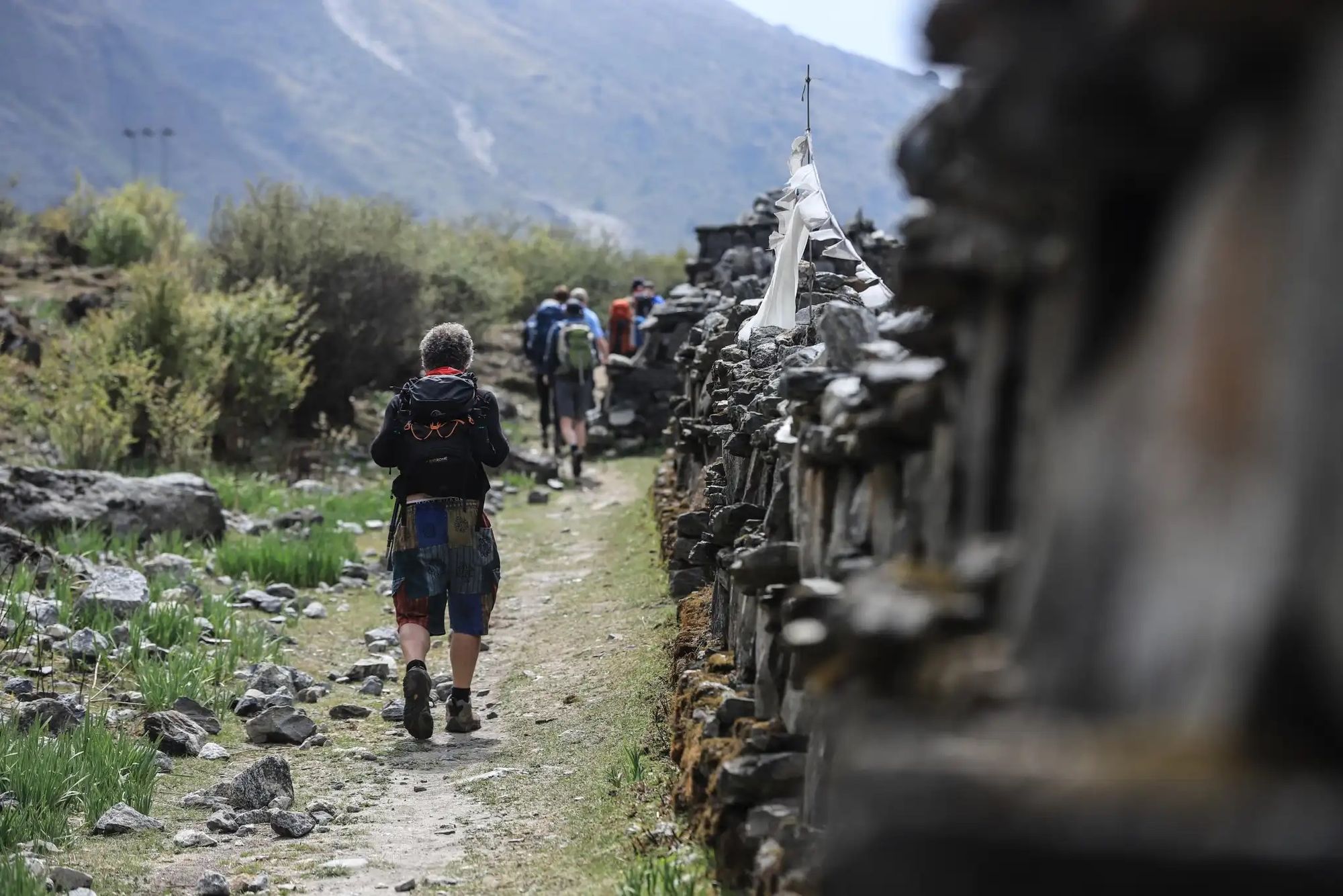
The trail begins in the small hamlet of Syabrubesi, which is surrounded by forest and terraced fields of crops. The track climbs gently uphill, passing over the Bhote River suspension bridge and through dense forest. You’ll also pass the gushing glacial river, Langtang Khola.
You might glimpse the glaciated Himalayan peaks, but today is mostly about the river, forests, rocky stairs and a few bridge crossings. Today’s hike takes place below 2,500m (8,200ft) - you won’t be affected by the altitude, but you will have to contend with higher temperatures.
Day 2: Lama Teahouse to Langtang Village
- Hiking time: 5 hours
- Distance: 6.8 miles/ 11km
- Ascent profile: 1,200m up/ 150m down
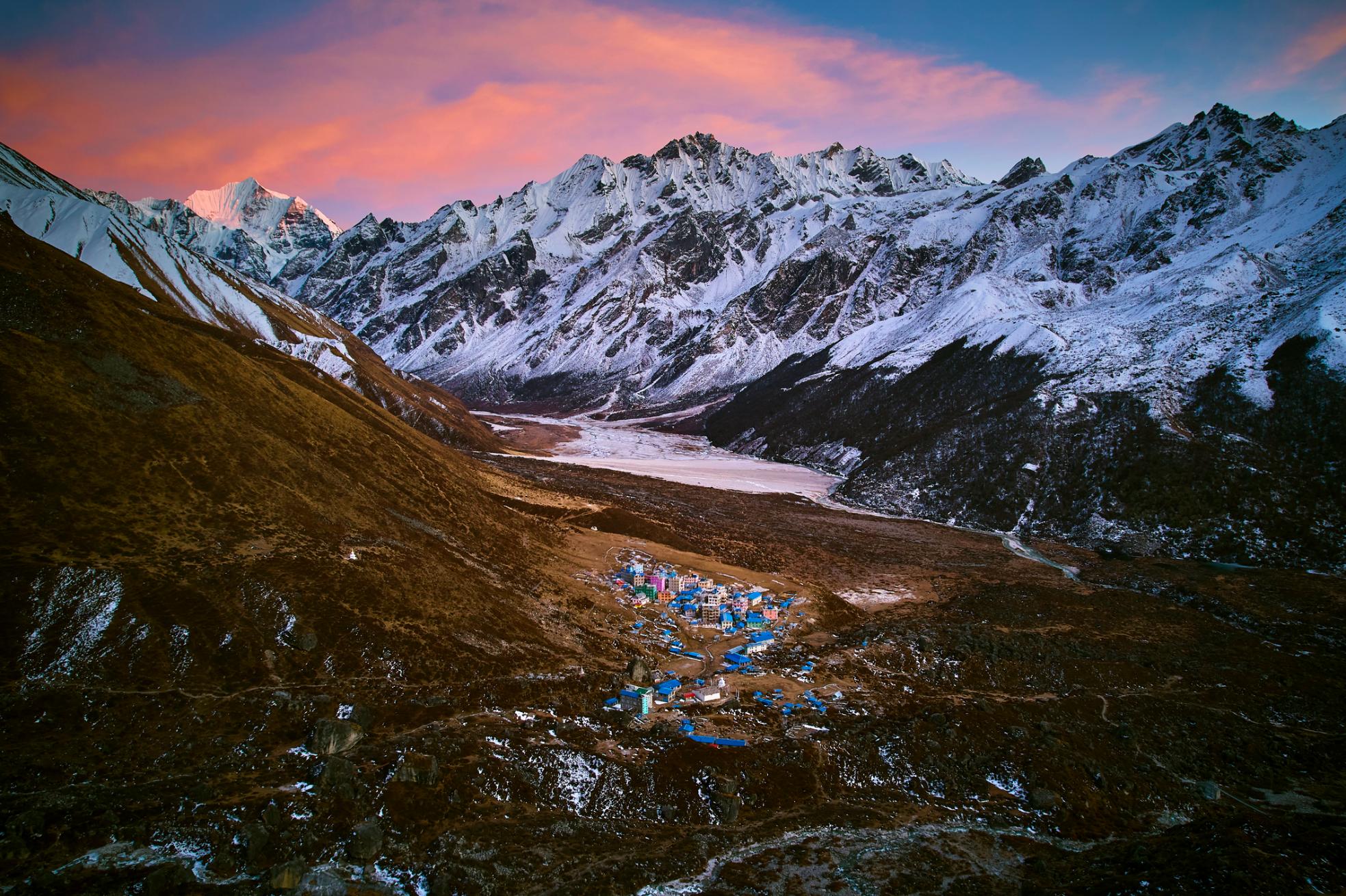
Today’s walk is shorter than the previous day’s, but you’ll be gaining altitude rapidly as you tackle around 1,200m (3,937ft) of ascent to reach Langtang village, located at an altitude of 3,430m (11,253ft). The trail takes you upwards through wild forests of hemlock, oak and rhododendron. After a steady climb, you'll pass the army checkpoint at Ghodatabela before reaching Langtang village.
“More people used to live in Langtang. But following the 2015 earthquake, 80% of the settlement was destroyed and there are fewer people in that area,” says Sunil. “The trek is much quieter than it used to be - before the earthquake Langtang was one of the most famous trekking routes in Nepal, similar to Everest Base Camp or Annapurna.
“But they have begun to rebuild, so you will see lots of new houses in Lantang. And it’s an opportunity to meet the ethnic Tamang people, whose ancestors came from Tibet, and learn about their culture and traditions.”
Day 3: Langtang Village to Kyanjin Gompa
- Hiking time: 5 hours
- Distance: 4.3 miles/ 7km
- Ascent profile: 450m up/ 100m down
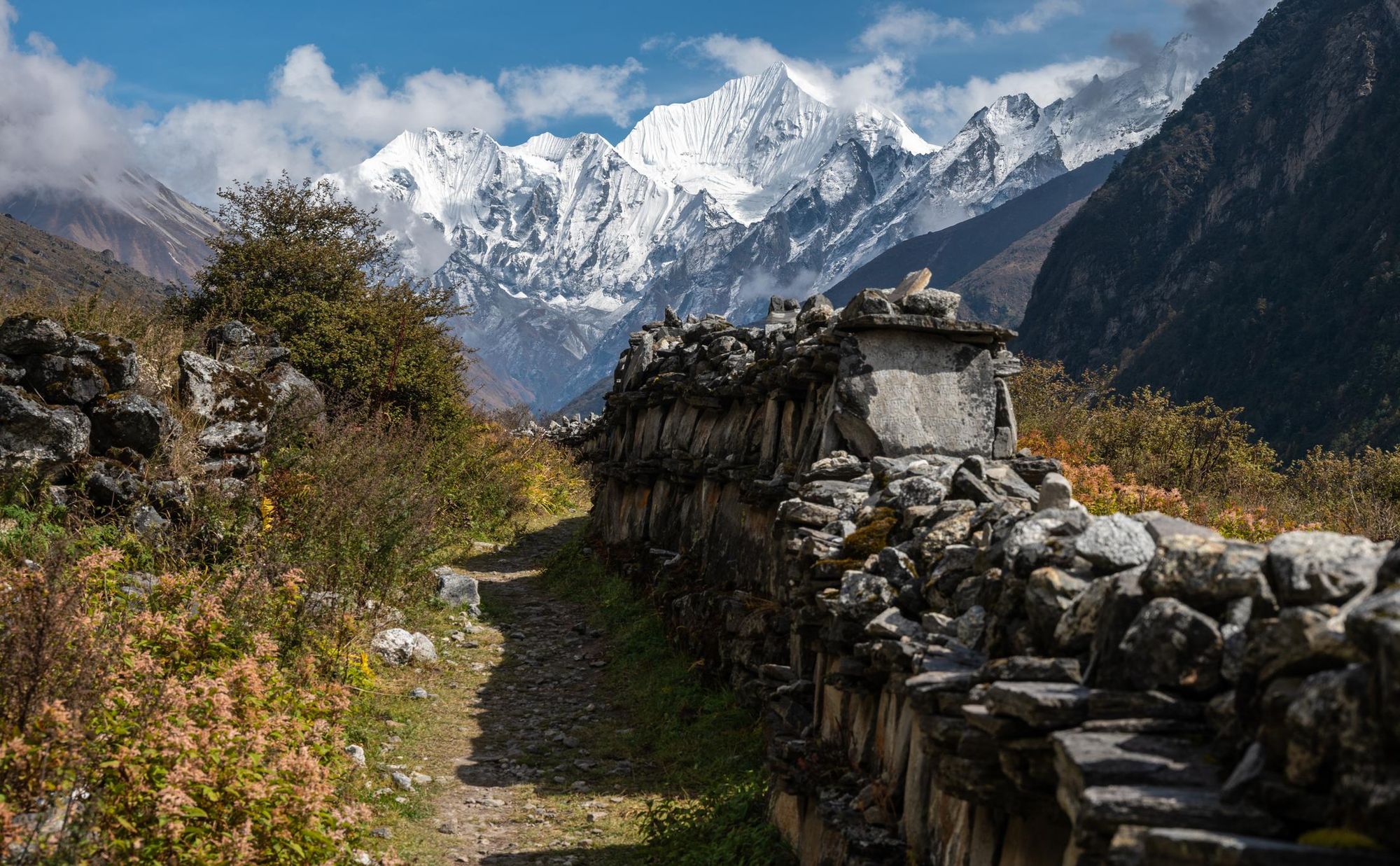
Leaving Langtang behind, the trail crosses yak pastures and follows a meandering stream. You’ll catch sight of the high summit of Gengchempo (6,387m/11,112ft) in the east, as you continue onwards past the Tamang settlements of Mundu and Sindum, which are encircled by the high peaks of the Langtang range. Continue on to your teahouse adjacent to the Buddhist monastery of Kyanjin Gompa (3,830 m/12,565ft).
Day 4: Acclimatisation hike in Kyanjin Gompa
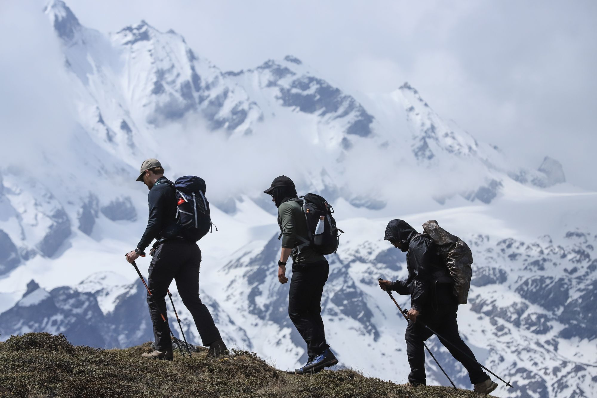
Today you’ll go on a short acclimatisation hike, giving yourself a chance to become accustomed to trekking at altitude. This is also an ideal time to try out climbing techniques.
For those wanting a peak to climb, you could ascend nearby Kyanjin Ri (4,773m/15,659ft). If you’d prefer to take it easy you can stroll round the village, paying a visit to the local yak cheese factory and the monastery.
Day 5: Kyanjin Gompa to Yala Base Camp
- Hiking time: 6 hours
- Distance: 6.2 miles/ 10km
- Ascent profile: 780m up/ 100m down
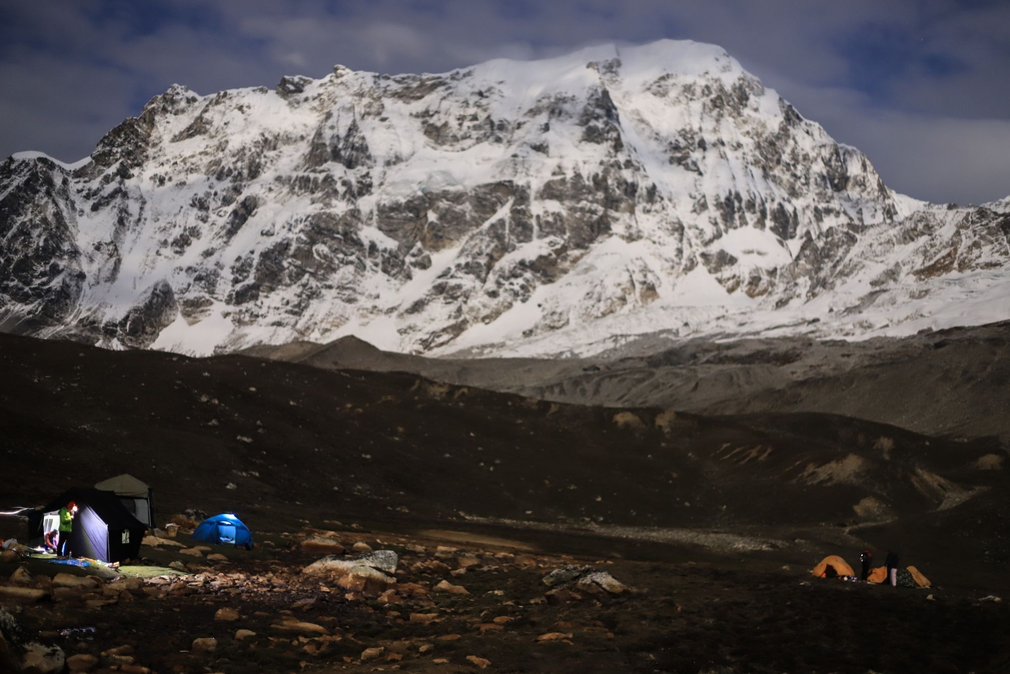
Leaving behind the last settlement you'll see for a couple of days, you'll start to trek along the rocky glacial trail towards the base camp (4,600m/15,091ft).
“From the last tea house at Kyanjin Gompa there are two options,” Sunil says. “We can either go to Tserko-Ri Basecamp or Yala Kharka Basecamp. I prefer Tserko-Ri, which is the one we use most, because the ascent is easier and we have better access to water than Yala Kharka. At Yala Kharka you have to go further for water, and you hike there along a narrow trail.”
From Tserko-Ri you’ll have breathtaking views of Yala Peak—tomorrow’s challenge. However, do pack your warmest clothes, and be prepared for sub-zero temperatures after night falls.
Day 6: Summit Day
- Hiking time: 10-12 hours
- Distance: 9.9 miles/ 16km
- Ascent profile: 1,000m up/ 1,200m down
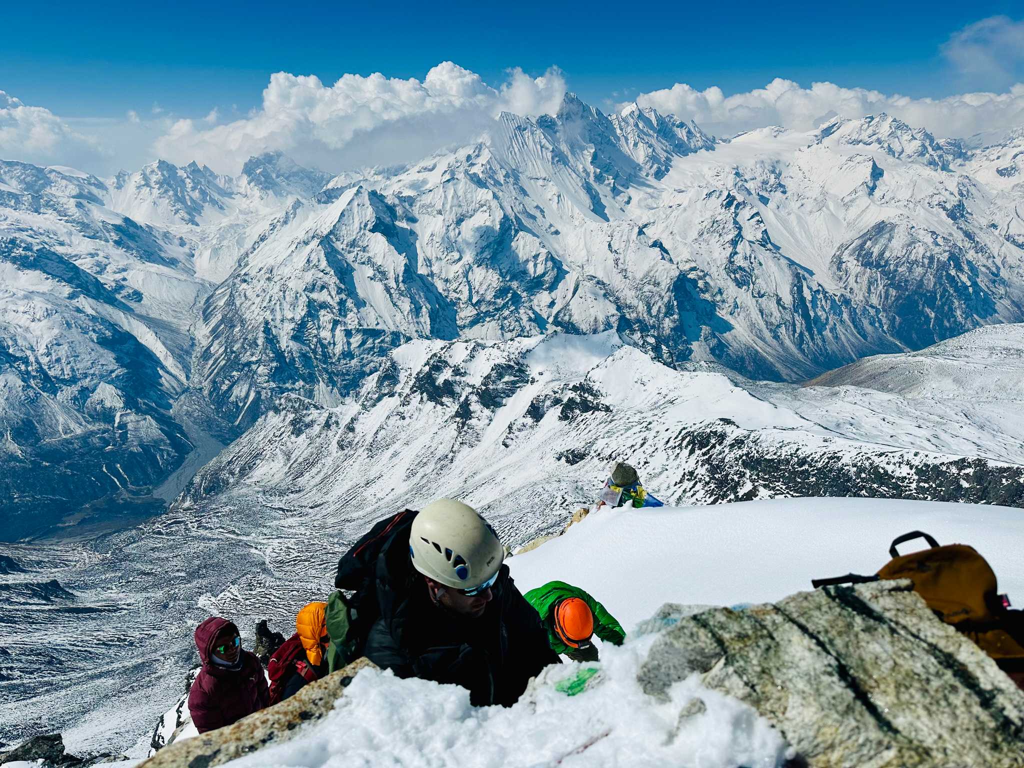
This is the day that will really push you to your limits—an ascent of the 5,550m (18,044ft) high Yala Peak, coupled with a return trek to Kyanjin Gompa.
“Normally we use the route from Tserko-Ri Base Camp, setting out at two or three in the morning,” Sunil says. Slowly we start with a moraine walk, which normally takes between four to six hours - it depends on the group and how they are feeling at high altitude. Besides this, there are two sections where you get very loose rocks. For people who are beginners and don’t have a climbing background, we put in a fixed rope for about 200m.”
When you’re on the fixed rope, you’ll normally need crampons and ice axes as you make your way along a small ridge to the summit —which your guide will have shown you how to use.
By the time it’s daylight we’ll be almost on the top, so we can see the views of Shishapangma and the other mountains—the views are amazing
“By the time it’s daylight we’ll be almost on the top, so we can see the views of Shishapangma and the other mountains—the views are amazing,” Sunil says.
After summiting, you’ll return to Base Camp for a quick lunch. You’ll then return the way you came to Kyanjin Gompa.
Day 7: Kyanjin Gompa to Lama Teahouse
- Hiking time: 5-6 hours
- Distance: 11.1 miles/18km
- Ascent profile: 100m up/ 1,400m down
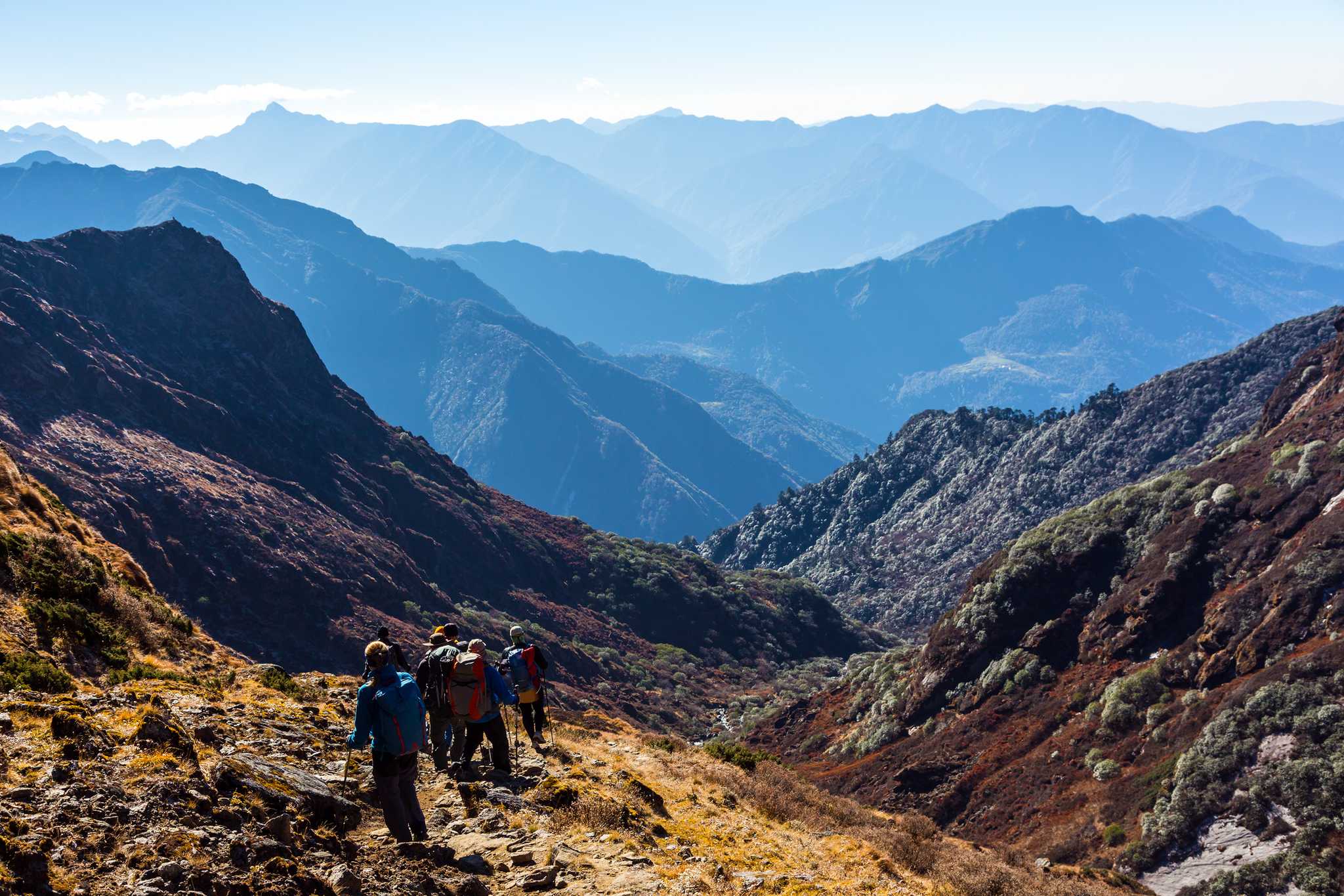
You’ll retrace your steps through the Langtang Valley to Lama Teahouse today. It’s a long downhill hike, but descending to lower altitudes will give you renewed energy.
Day 8: Lama Teahouse to Syabrubesi
- Hiking time: 4-5 hours
- Distance: 6.8 miles/11km
- Ascent profile: 100m up/ 900m down
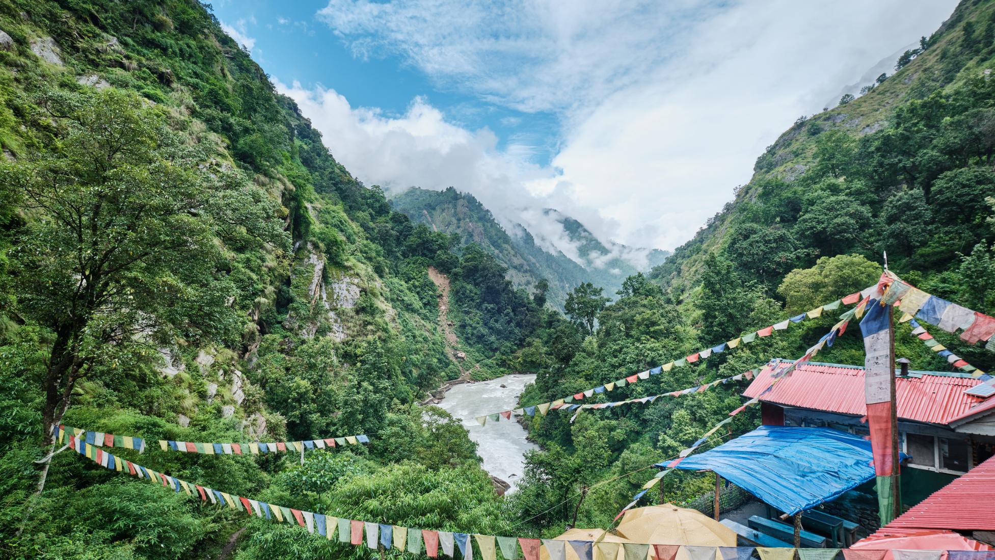
Your last day on a trail, descending the lower reaches of the verdant Langtang Valley to Syabrubesi.
Accommodation in the Langtang Valley and on Yala Peak
Tea Houses
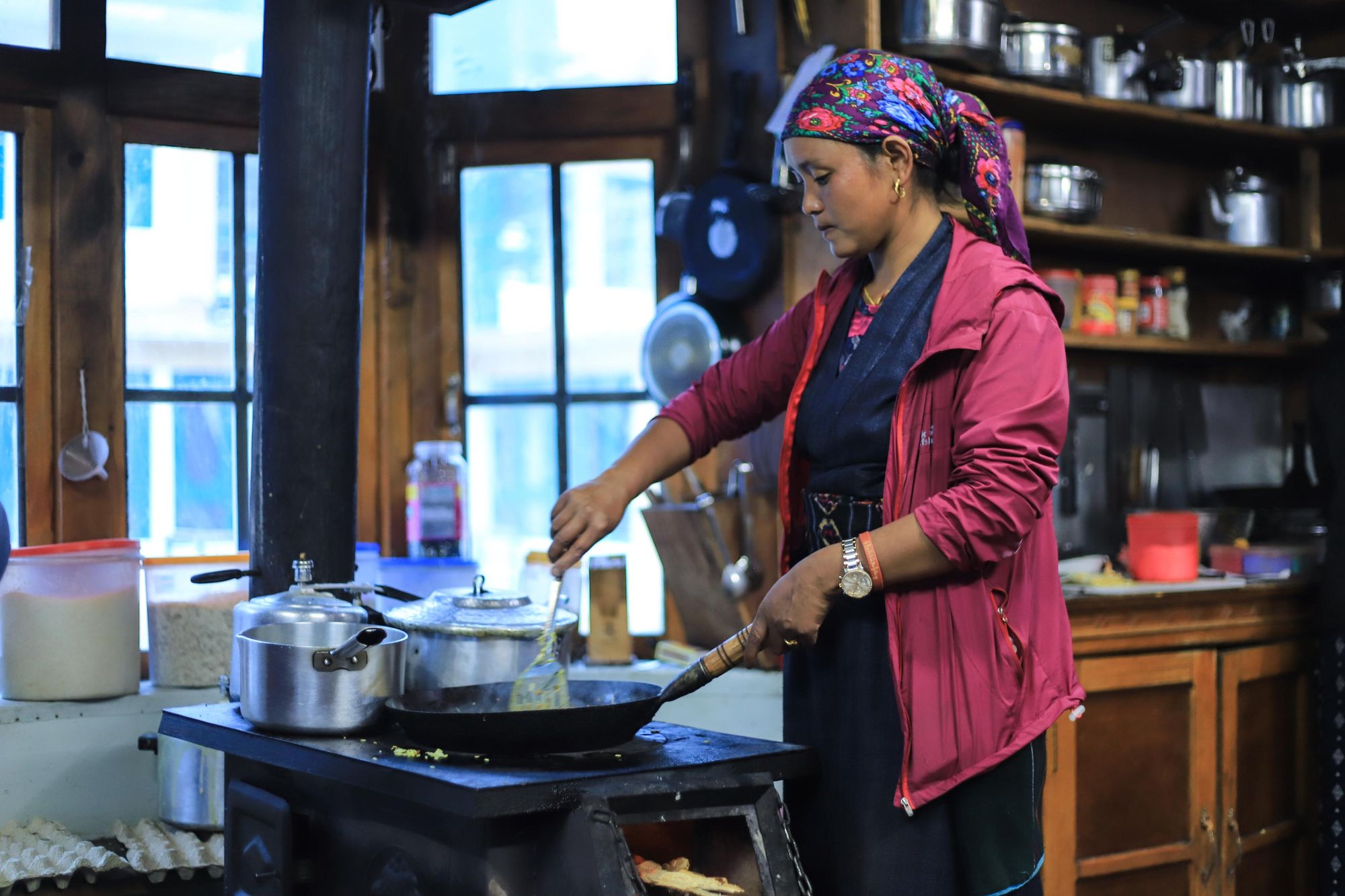
For your trek through the Langtang Valley, you’ll spend the night in rustic homestays known as tea houses. These offer basic accommodation in twin share rooms or small dormitories. Showers and electricity (to charge your devices) will be provided at an extra cost.
You’ll eat in the communal lounge area, and will be able to choose from a simple menu of dal bhat (lentils, rice and vegetables), momos (Nepalese dumplings) and instant noodles.
You have people letting you into their living areas so you can eat meals with them - you’ll get to live like the locals do
“Tea house accommodation started in around 1969 in Nepal’s mountains, where local families let people stay in their houses and eat their food,” Himal says. “In places like the Everest region, tea houses have become commercial enterprises. But here in Langtang, the tea houses are much more basic; they’re run by the local people and families. You have people letting you into their living areas so you can eat meals with them - you’ll get to live like the locals do.”
Staying in the tea houses means trekkers are able to put money back into the local communities - vital in helping sustain Tamang families whose livelihoods were impacted by the 2015 earthquake.
Base Camp
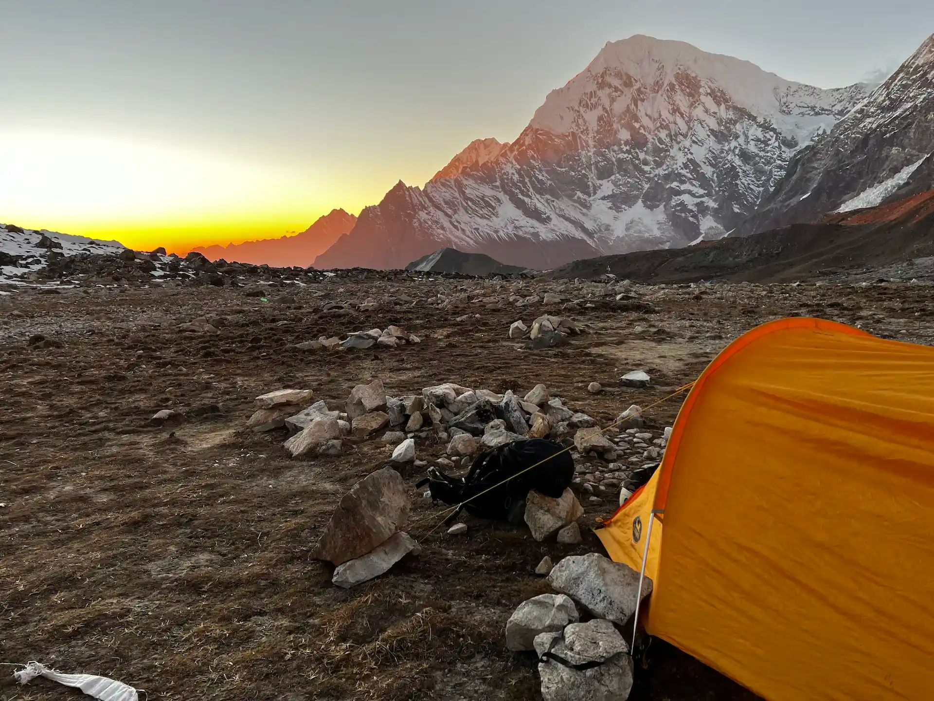
You’ll spend one night of the trek camping at Tserko Ri base camp, sharing a tent set up for you by your support team. There’ll also be a communal tent, where meals will be cooked and served. According to Sunil, it can get very cold at base camp.
“Sometimes it goes down to minus seventeen or eighteen degrees celsius,” he says. “There’s not always snow at the base camp - it’s the wind that makes it really cold. Sometimes it gets up to a speed of 50km an hour.”
However, the views from base camp are unparalleled. You’ll watch the sunset behind the Himalayan peaks. On a clear night, you’ll see a sky full of stars.
What Should I Pack for my Yala Peak Trek?
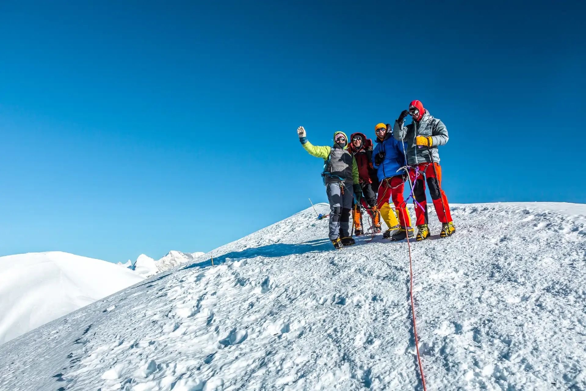
For your trek up Yala Peak you will be provided with all climbing equipment - tent, camping mattress - and climbing gear (ice axe, ascender, descender, climbing helmet, harness, carabiners, crampons).
All camping equipment will be provided, aside from a sleeping bag. Bring a 4-season sleeping bag with a hood (and a comfort rating down to around -20°c). A sleeping liner will also add extra warmth.
You will also need:
- B2 crampon compatible boots (these can be hired in Kathmandu)
- 1 set of base/thermal layers
- 1 mid-layer (fleece or similar)
- 1 outer layer/hardshell jacket
- 2 sets of merino tops
- Waterproof trousers and top
- 1 pair lightweight trekking trousers
- 3-4 season down jacket with hood
- 1 warm gloves
For a full packing list, check out the ‘kit list’ section on our Yala Peak trek.

When is the Best Time of Year to Climb Yala Peak?
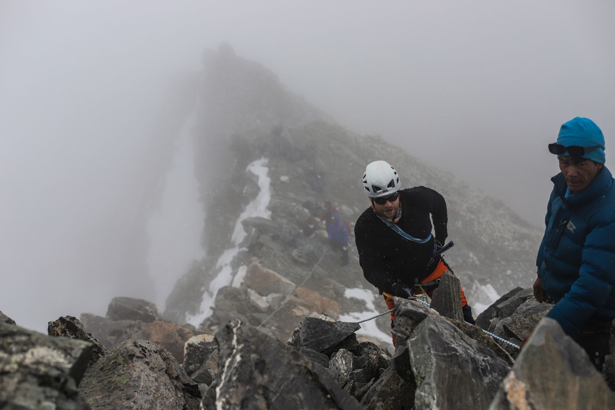
The best time of year to climb Yala Peak is during the spring (March to May) or autumn (September to November), when the weather is most stable.
“The two seasons have different things to offer. Like during the March to May season there’s more snow, and it’s a little colder than later in the year,” Himal says. “During October and November the terrain is mostly green in the lower areas, and then in the mountains there will be less snow - it’s mainly rocky.”
How to Get to the Langtang Valley
To get to the trek start point in Syabrubesi, you’ll need to fly into Kathmandu Airport (which has direct flights to destinations across Europe, Asia and North America). Langtang Airport closed following the 2015 earthquake, so you’ll need to make your way to Syabrubesi by road. This is a journey of around seven hours, and will be organised by your trip operator.
“I love travelling from the noise of Kathmandu to the peace of Syabrubesi,” Himal says. “The views are beautiful. You’ll see gorges and green forest through the windows of your vehicle. Travel can be difficult in some months, but not when we travel, which is during peak season.”
Read More:
- A Guide to Climbing Mera Peak in Nepal
- 6 Treks Around the Langtang National Park in Nepal
- The City Guide to Kathmandu, Nepal
Inspired? Then check out our Trek the Langtang Valley to Summit Yala Peak (5,550m) Adventure.


