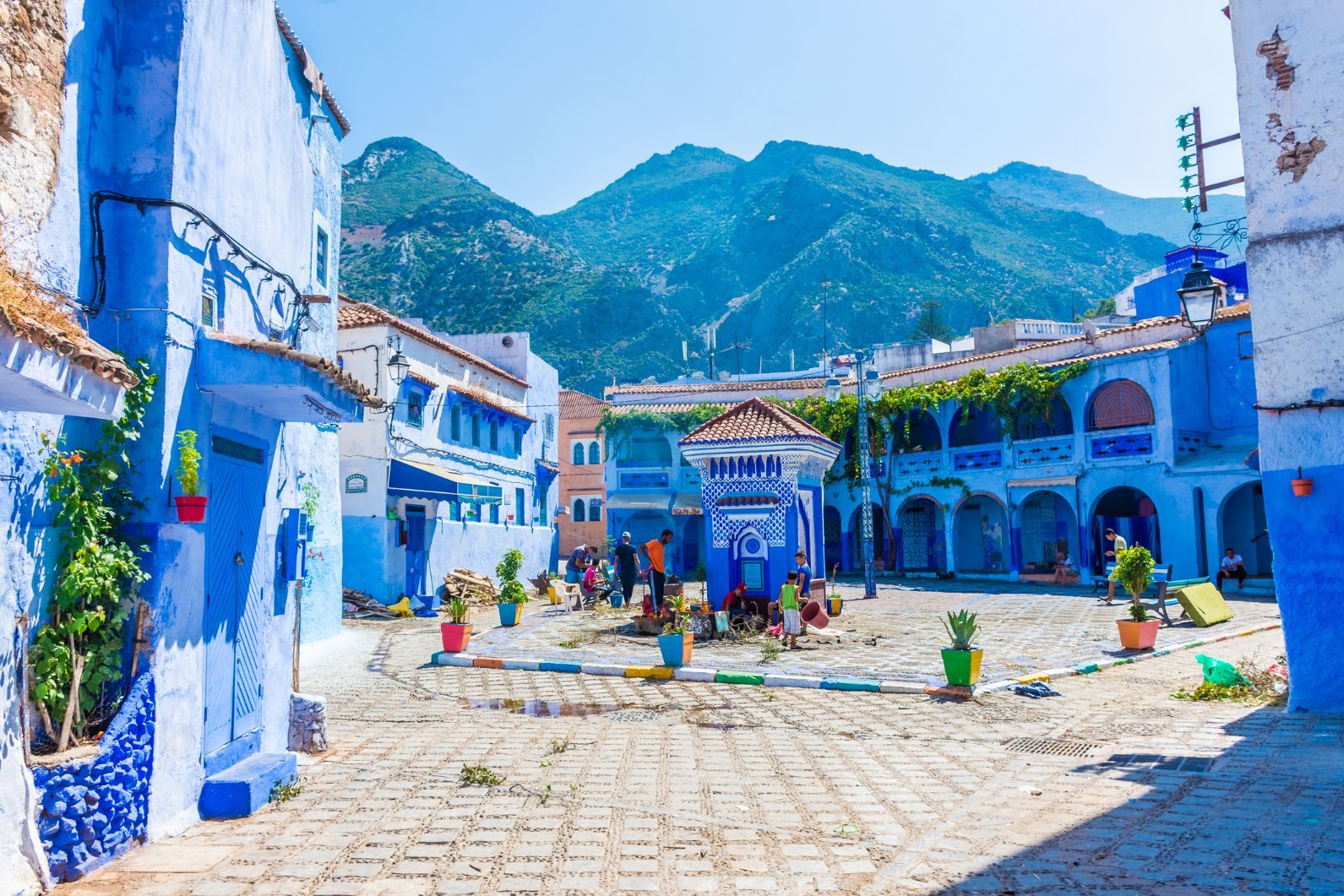
The town of Chefchaouen, with its blue streets and tightly-packed houses, stacked beneath the mountains of northwest Morocco, is quite unlike any other on Earth. Wander the maze of the medina in Chaouen, as the city is called by locals, and you’ll find yourself following steep, narrow streets up and down, often passing souks (bazaar-style marketplaces) selling local rugs or leather, beneath the white roofs and many minarets which form the skyline.
Chefchaouen sits in the foothills of the Rif Mountains at 600 metres, with the mountain of Jebel el-Kelaa (1,616m) behind it and Jebel Tisouka (2,118m) also nearby. Despite the mountainous surroundings, these are not dry and arid lands.

There are almost 300,000 acres of forest within a couple hours drive of Chefchaouen, and the region is considered one of the richest in Morocco for biological diversity - something particularly evident in the Talassemtane National Park, home to otters, macaque monkeys and hundreds of birds living amongst the gorges, rugged cliffs and lush greenery of cedar and pine trees.
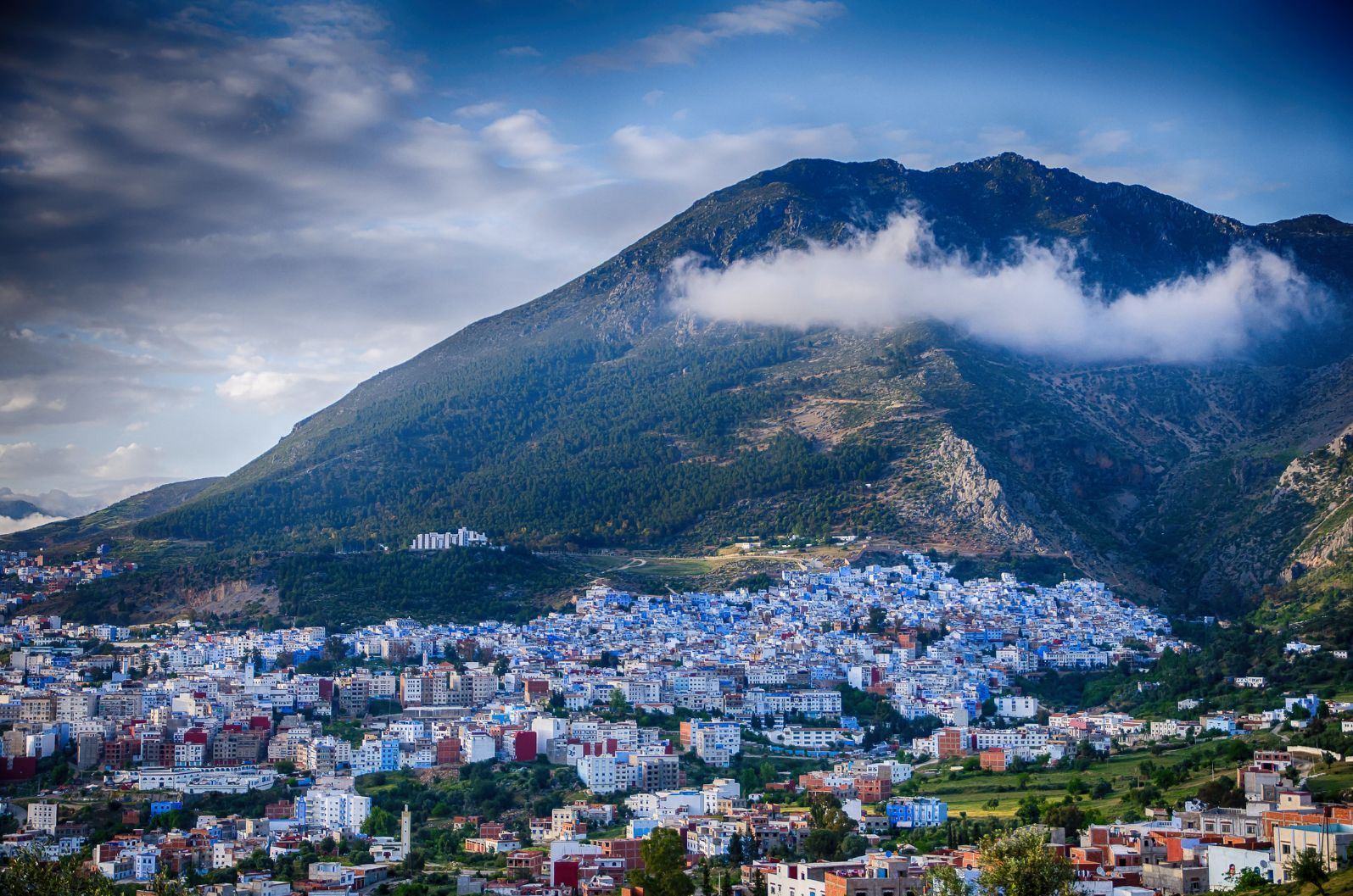
It wasn’t the fertile land but an attack by Portuguese forces under the command of King Afonso V that led to the founding of Chefchaouen in 1471, though. There was human habitation in the area before this, of course, but it was only after that the fortress of Chefchaouen began to thrive as a wider city, with Ghomaras (a group of northern Moroccan tribes), Moriscos (a group of Muslim descent) and Jewish people who had fled Spain and Portugal all settling in the area.
The panoramic view from the mountain top reaches all the way out to the Mediterranean Sea and across to Spain and the Sierra Nevada mountains.
As the threat of the Portuguese slowly diminished, a medina began to appear around the old fortress, and the city prospered on the Fez-Tetouan trade route, growing in population as even more Muslim and Jewish refugees arrived, fleeing the Spanish Inquisition. Owing to that threat from the Portuguese, the city was a closed town to Christians and most Europeans until the early 1900s.
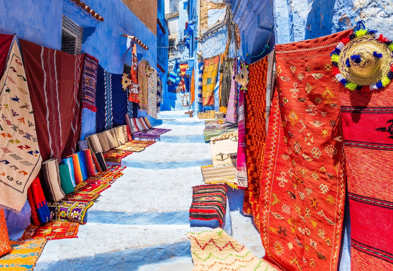
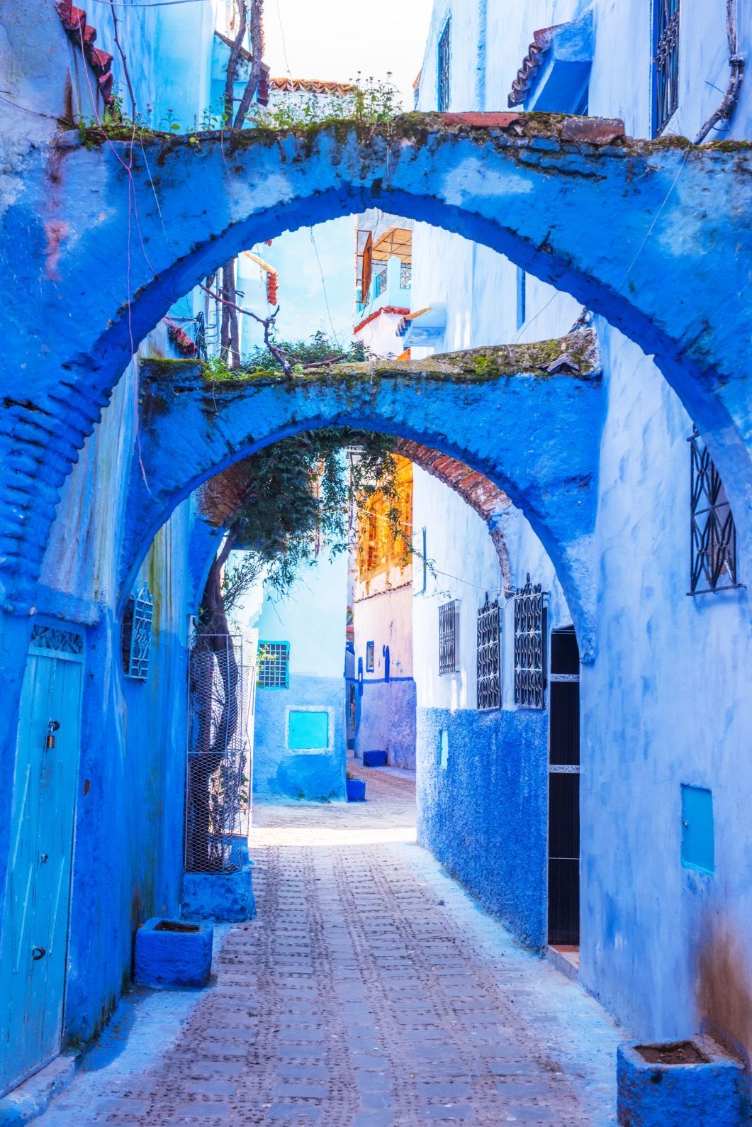
Rugs line the streets of one ascending staircase, left, and the beautiful arches of Chefchaouen, right. Photo: Getty
Indeed, there are only three European travellers on record as sneaking into the city before that time. The first was the French explorer Charles Foucauld in 1883, who gained access while pretending to be a rabbi. Another was the English journalist, Walter Harris, who in 1889 disguised himself as a Moorish merchant from Fez, and rode in on a donkey from Tangier, later writing that it was “an utter impossibility for a Christian” to visit the city. The third was a missionary, called William Summer who proved Harris’ point - by being poisoned to death.
It’s unlikely that any of these travellers saw the blue streets of Chefchaouen as they are today. That's because the streets weren't blue at that point - at least not universally. It wasn’t until Chefchaouen was taken by the Spanish in 1920 that the doors to the city opened to anyone and everyone - and the blue followed.
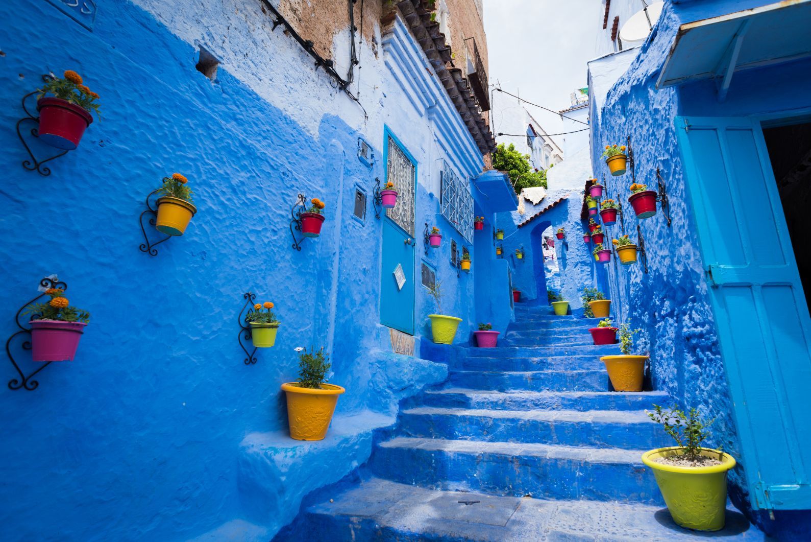
The most popular theory is that after WWII, when the Jewish community in the area grew as people fled Nazi persecution, blue was painted on the walls, floors and steps as a religious practise, to represent the colour of the sky and connect the city to heaven and God. Other parts of the medina were still white until around 40 years ago - when the rest of the city followed suit, likely for aesthetic or tourism purposes.
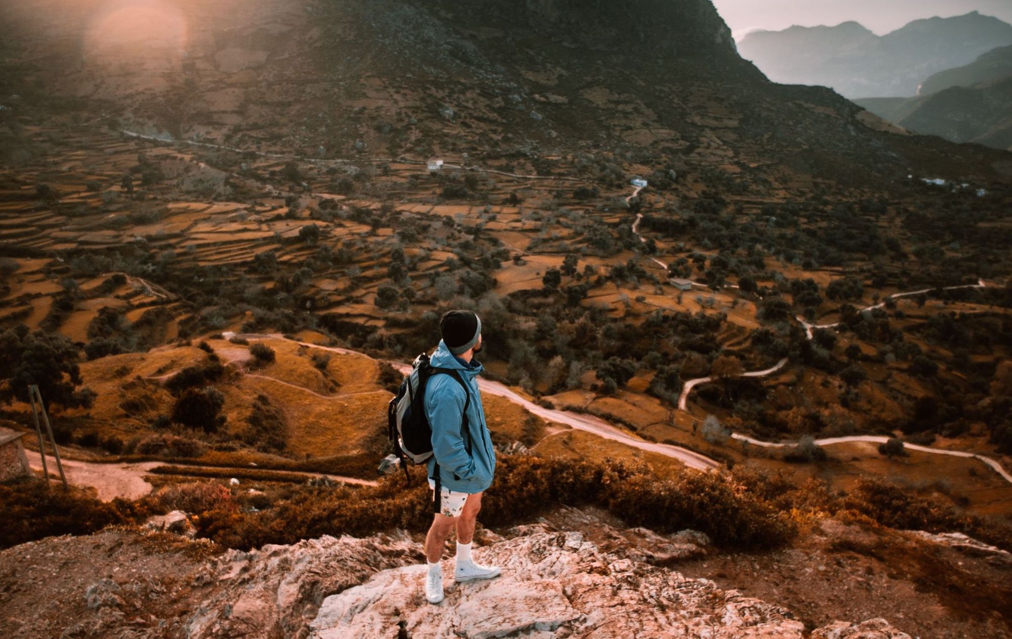
Other theories say that the walls were painted to keep mosquitos away or reduce heat in the summer. Regardless of the reason it started, it’s likely that it’s now tourism that keeps the practice of painting the walls - which is still done once or twice a year - active today. Whatever the case, it makes Chefchaouen a photographer’s dream, and remarkable to walk around (if hard to navigate).
The city is easily reached by bus from Tangier, Casablanca or Fez (though the trip takes a good few hours), and hikers will be glad to know the craggy landscape of the Rif mountains are easily reached from there. Walk directly out of town and into the mountains above and you can follow a trail to the top of Jebel el-Kelaa, reached by a six-to-eight hour round-hike. The summit is reached by a short scramble, and the panoramic view from the mountain top reaches all the way out to the Mediterranean Sea and across to Spain and the Sierra Nevada mountains.
The navigational aspect of this hike is perhaps the most challenging part, so be sure to take care - and note that you may pass some marijuana plantations on the way. The plant, known as kif here, is widely smoked and produced in the area, and along with tourism, it fuels the Chefchaouen economy. Drug use in Morocco is strictly illegal, but you wouldn’t know it in Chefchaouen - a fact which drove many backpackers to the area in the 1970s and 80s.
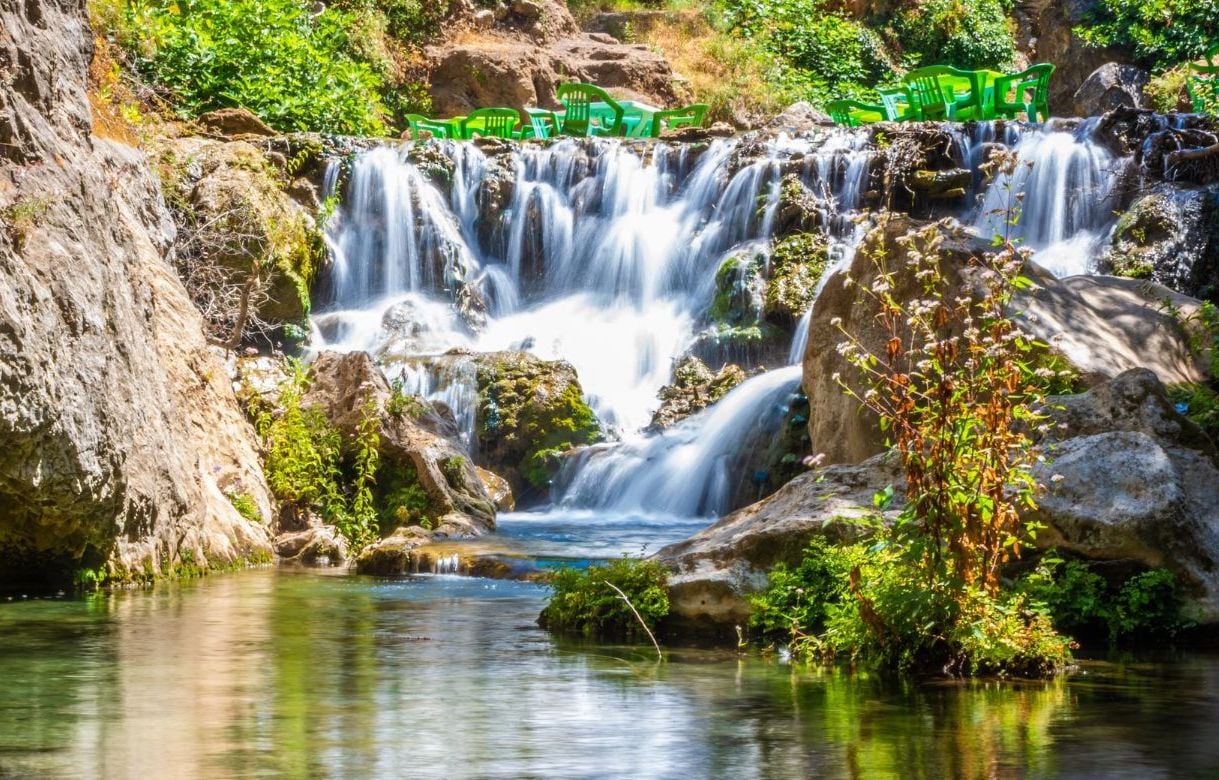
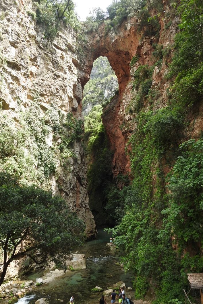
The Akchour falls, left, and the unique rock formation of God's Bridge, right. Photos: Getty
If you don’t mind travelling a bit further, one of the best nearby hiking areas is a 45-minute drive away, in Akchour. The small town is just a little collection of houses on a creek, but from there you can walk to the Akchour waterfalls, a series of dreamy pools surrounded by lush vegetation, or hike up the nearby jungle rapids of the Oued Farda River to the God’s Bridge rock formation - where an enormous, clay-coloured archway joins two rugged mountain plateaus.
The colourful character of Chefchaouen makes it an enchanting spot to return to at the end of the day. And how better to rest up post-hike than by eating a lamb kebab and drinking mint tea on the beautiful streets of Morocco's blue city?
Inspired? Check out our range of adventure holidays in Morocco, which include trips camping in the Sahara and visiting Chefchaouen!


