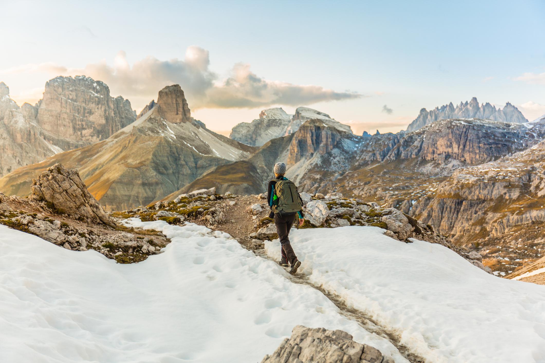
There’s something magical about hiking in winter. In the subtle morning sunrises, and frosted meadows gleaming in the golden early light. In the bright flashes of berries encased in ice, and when you crunch over frozen puddles, your breath coming out in clouds.
Places look so different when it snows. Trees with laden boughs are twisted into unfamiliar shapes. Dark lava fields are smoothened over by a carpet of white. Hiking trails tend to be quieter too, so you can immerse yourself in stillness.
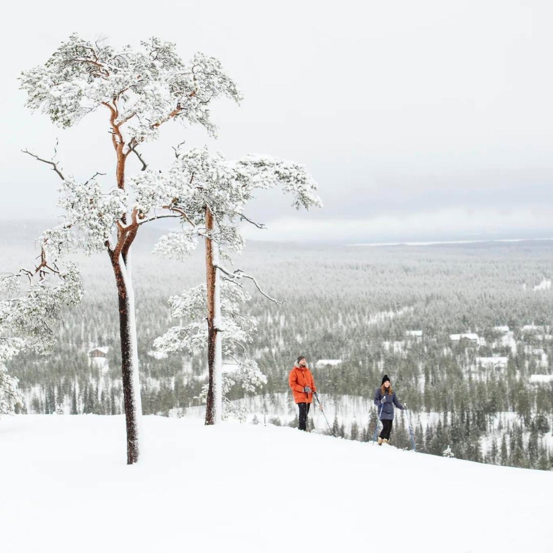
There are numerous options for winter walks in Europe, from the glacial valleys of Slovenia to the old growth forests and fells of Finland’s Pyhä-Luosto National Park. If you’d prefer winter sun, head south to Gran Canaria, where you can hike the volcanic peaks and ravines of the island's interior.
These are 10 of our favourite winter walks in Europe:
1. Mount Etna’s Pista Altomontana, Sicily
2. Sólheimajökull Glacier Hike, Iceland
3. Logar Valley to Klemenča Jama, Slovenia
4. Ben Nevis, Scotland
5. Luosto-Torvisen Maja Snowshoeing Trail, Finland
6. Sagadi-Oandu Forest Fairy Tales Trail, Estonia
7. The Pádis Circuit Romania
8. Rota Vicentina (The Fishermen’s Trail), Portugal
9. Monte La Meta da pianoro Campitelli Loop, Italy
10. The Guayadeque Valley to Cruz de Tejeda, Gran Canaria
It’s important to note that the route descriptions listed below are only short summaries, designed to inspire but not to serve any navigational purpose. They are not intended to guide you on the route and further mapping and planning will be required if you want to safely walk any of the trails featured.
This is particularly true during winter, when hiking is more difficult than during the summer months. Trails might be obscured by snow, and weather is more unpredictable. Mountain summits that can be hiked up in summer become more technical during the winter, when scree slopes are covered in ice - in many cases, crampons and ice axes are required.
For these reasons, we recommend that these winter hikes be undertaken with an experienced guide. Not only will they help you navigate in an unfamiliar landscape, they’ll also teach you valuable skills for winter hiking, such as using snowshoes, or how to track animals by finding prints in the fresh snow.
Here’s our guide to the best winter walks in Europe, plus what to wear on sub-zero hiking adventures.
The Best Winter Hikes in Europe, Mapped
This map shows the location of the start points for our 10 favourite winter hikes. Please note that when winter hiking, you'll need to travel with a detailed topographic map even on waymarked trails.
10 of the Best Winter Hikes in Europe
1. Mount Etna’s Pista Altomontana, Sicily
- Start/Finish: Piano Provenzana/ Piano Vetore (point to point)
- Distance: 22.9 miles (37km)
- Walking time: Overnight
- Difficulty: Challenging
- Best for: Seeing Italy’s most iconic volcano in the snow
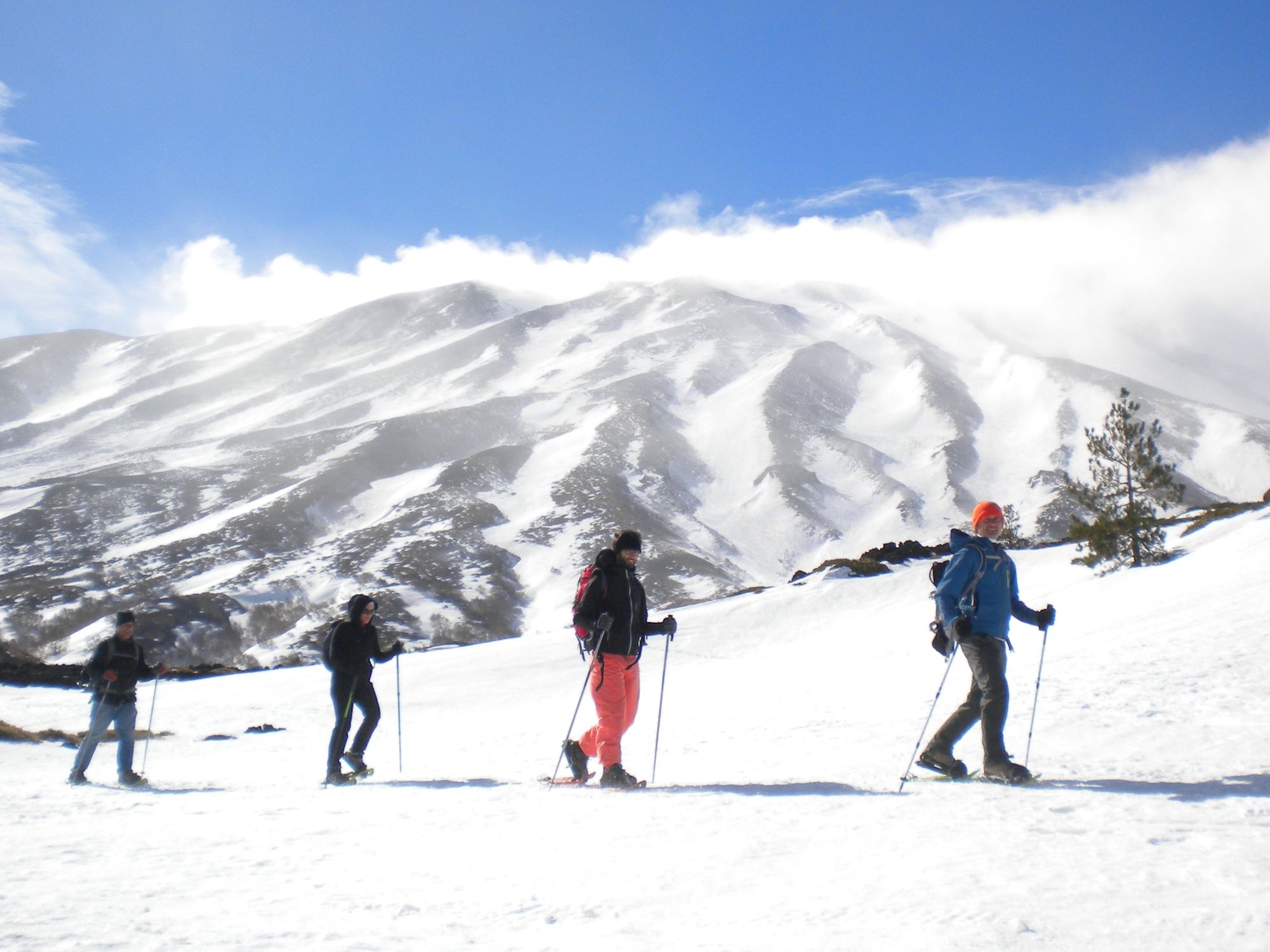
Mount Etna is a 3,369m (11,053ft) stratovolcano on the island of Sicily; one of the most active volcanoes in the world. Hiking up the burnt black slopes to the summit, you’ll pass by bubbling lava craters and traverse ancient ossified flows. Climbing season for Mount Etna is normally from April to September, but visit during the winter months and you’ll experience a quieter side to the mountain, with subtle sunrises and uncrowded trails.
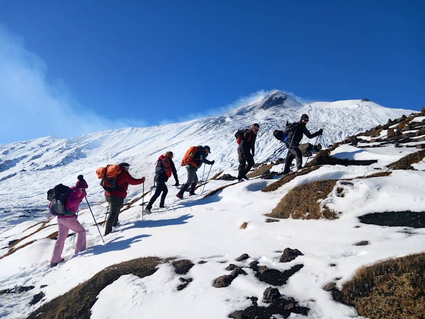
You need technical mountaineering experience to reach the summit of Etna in winter, so we recommend tackling one of its many lower altitude hikes instead. Pista Altomontana is a path circumnavigating Mount Etna, at an average altitude of 1,800m (5,905ft). You'll cross a landscape of ancient volcanic cones and old eruptive fractures, as well as passing through Mount Etna’s largest forest. Snow conditions permitting, you can explore one of the longest underground lava tunnels on Etna - the 'Grotto of Raspberries' - on the way.
The hike necessitates an overnight stay. There are several staffed mountain refuges along the route, as well as some rustic mountain bivouacs. You can also walk a section of the route on a day hike instead.
2. Sólheimajökull Glacier Hike, Iceland
- Start/Finish: Sólheimajökull glacier parking lot (out and back)
- Distance: 6.2 miles (10km)
- Walking time: 3-4 hours
- Difficulty: Moderate
- Best for: Ice, ice baby
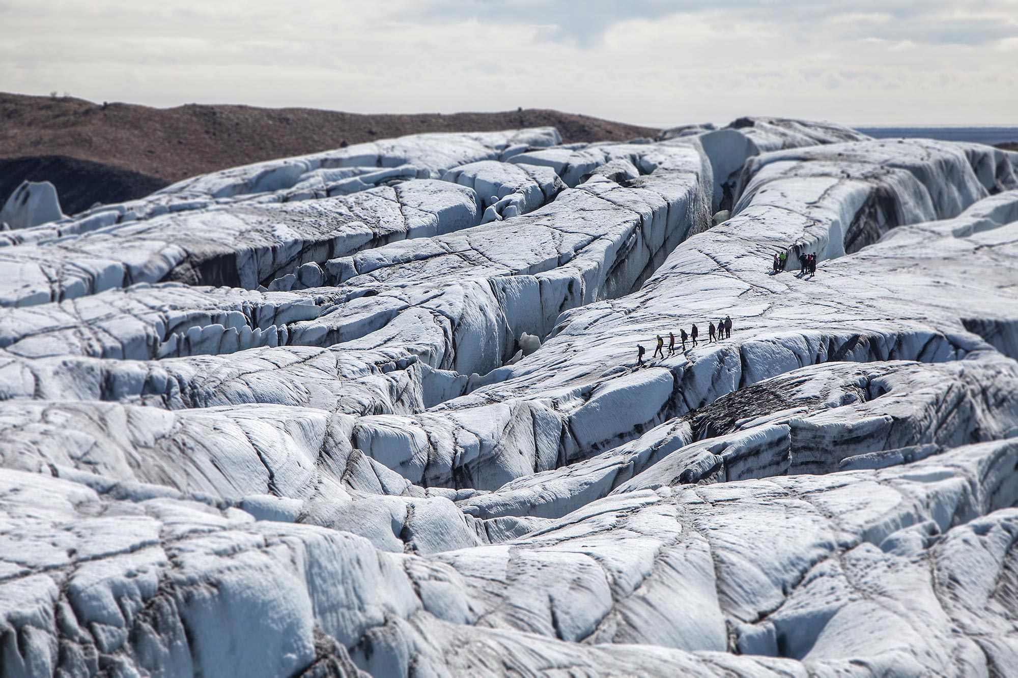
You couldn’t have a list of winter walks without a glacier hike, and we’ve selected a particularly good one, tucked into the wave battered cliffs and black sand beaches of Iceland’s southern coast. Clip on crampons to hike over the glacier, traversing icy ridges, water cauldrons and crevasses - you might even discover an ice cave. The ice varies in colour between white, vibrant blue and ash black.
Glacier hiking can also be combined with ice climbing. Your guide will teach you how to use crampons, ice axes and rope harnesses, enabling you to scale a wall of ice.
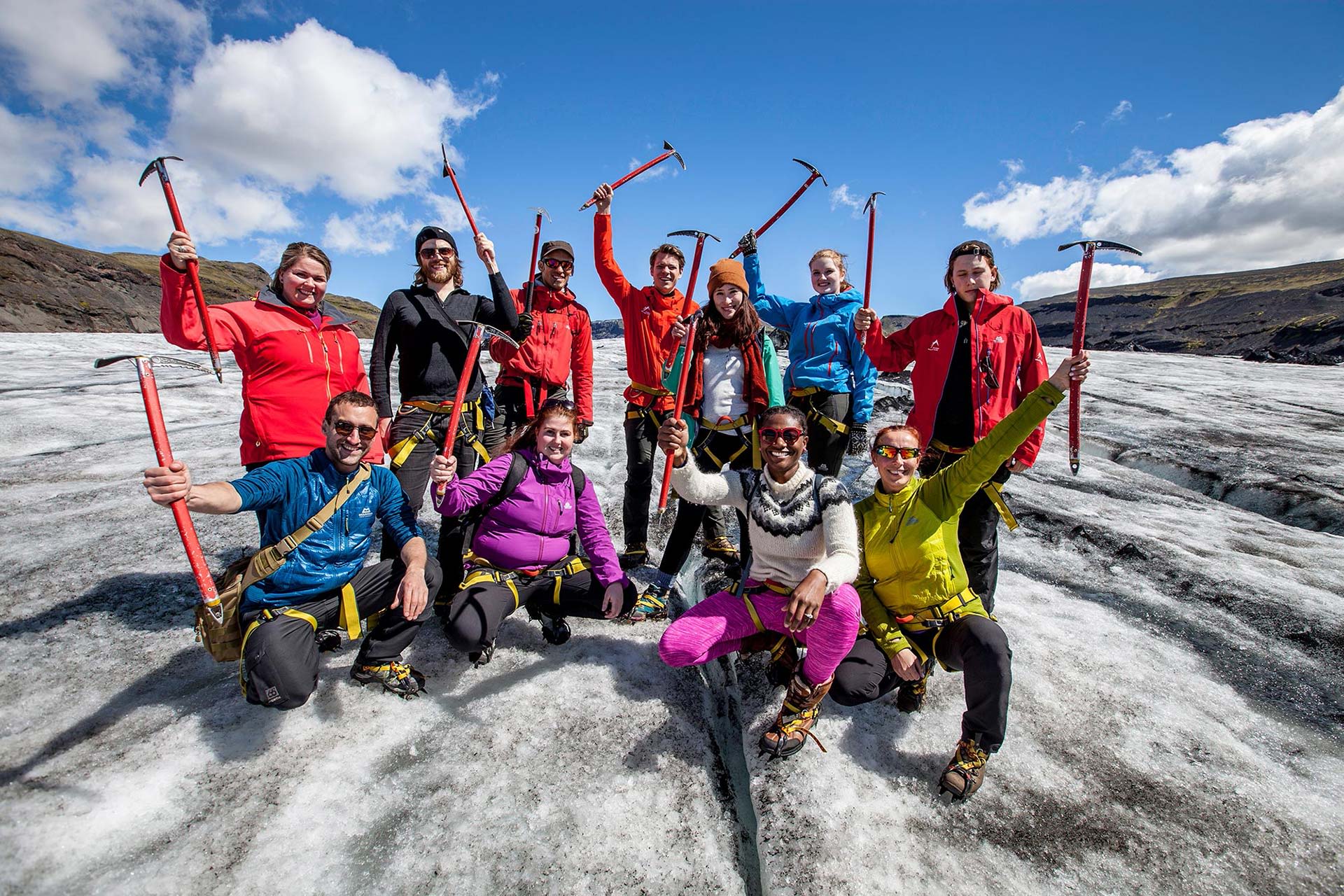
Be aware that you are only allowed to hike over glaciers with a trained guide in Iceland, due to the fragility of the ice. However, if you’d prefer to hike independently there are other options in the area, such as the Waterfall Way beginning in nearby Skogar.
3. Logar Valley to Klemenča Jama, Slovenia
- Start/Finish: Logarska Dolina car park (out and back)
- Distance: 2.1 miles (3.7km)
- Walking time: 2-3 hours
- Difficulty: Moderate
- Best for: Exploring a hidden corner of Slovenia
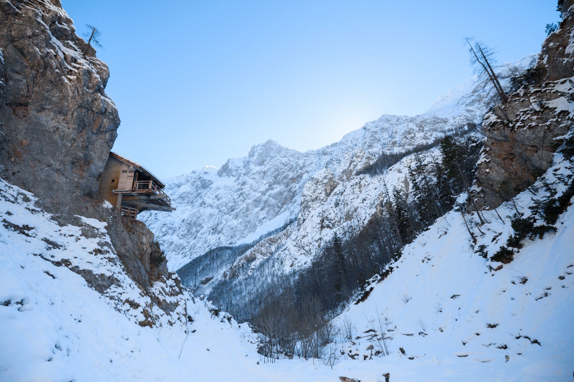
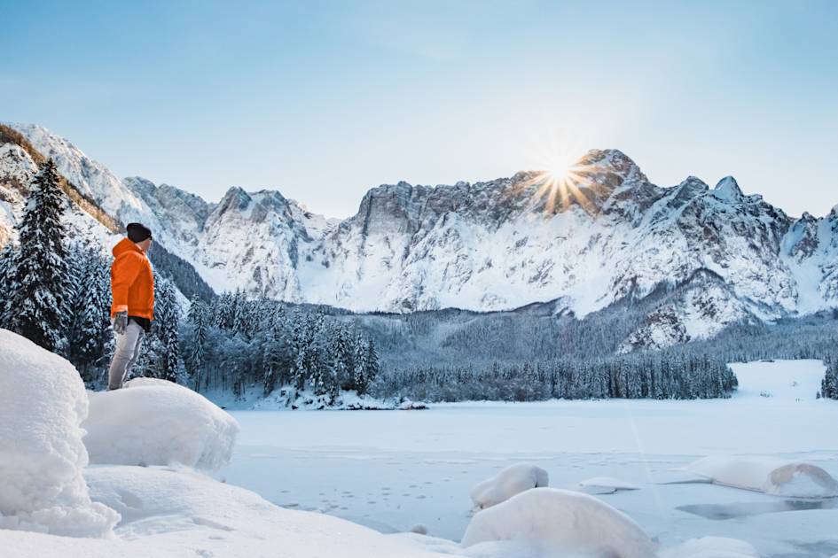
Slovenia is an untapped hiking destination, boasting some of Europe’s most pristine Alpine scenery. We particularly recommend the glacially carved Logar Valley, nestled into the Kamnik Alps - its rolling hills and pine forests are surrounded by glaciated peaks, so you can drink in the mountain views.
Beginning in the small village of Logarska Dolina, you’ll follow a trail winding upwards through the forest toward Klemenča Jama hut, which is located in a high meadow, surrounded by pines. As you emerge from the trees you’ll have panoramic views of the Kamnik and Savin Alps. The ascent to the hut takes just over an hour - once you arrive, there’s the opportunity to stop for refreshments like steaming hot chocolate or apple strudel - before returning back the way you came.
There is the opportunity to extend your hike into a more challenging 6.2 mile circuit by continuing along a signposted trail to Mount Strelovac (1,764m/5787ft) and back to your start point via the Palenk Waterfall, which often freezes during winter. However, we’d only recommend doing this longer route if the weather conditions are good.
4. Ben Nevis, Scotland
- Start/Finish: Glen Nevis Youth Hostel (out and back)
- Distance: 8 miles (12.8km)
- Walking time: 6-8 hours
- Difficulty: Challenging
- Best for: Winter mountaineering practice
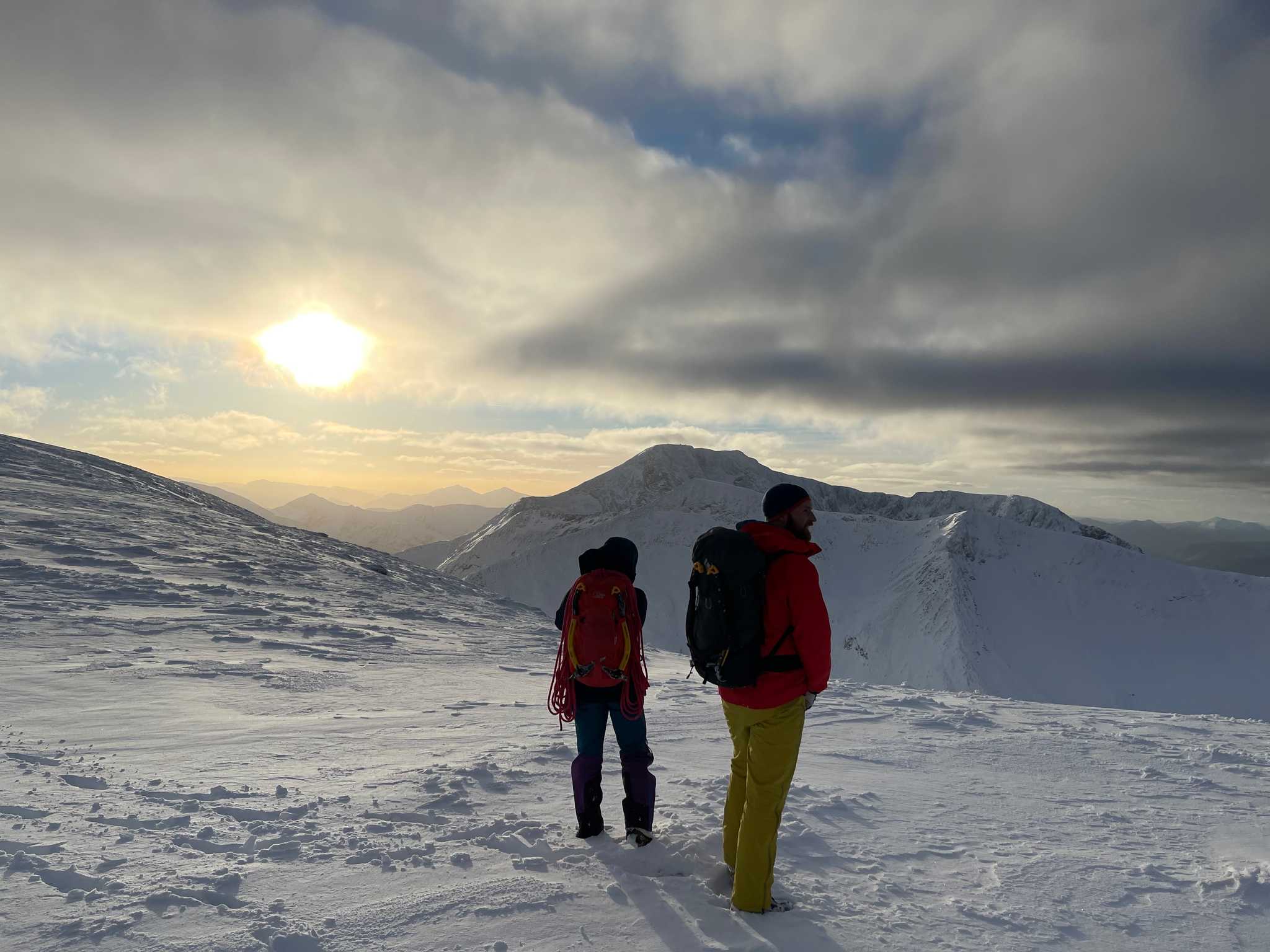
As the highest mountain in the United Kingdom at 1,345m (4,413ft), climbing to the summit of Ben Nevis is a challenging hike at the best of times. It's even more so in the winter months, when weather conditions are more unpredictable, with high winds, reduced visibility and snow storms. This makes Ben Nevis ideal spot to develop your winter mountain climbing skills for higher peaks - we’d definitely recommend you hike with a knowledgeable mountain guide.

There are multiple routes up to the top of Ben Nevis. Most hikers choose the Mountain Track (also known as the Tourist Track) from Glen Nevis, which takes you along a well made path becoming narrower and rockier the higher you climb. However, there are more challenging options, including a scramble along the Càrn Mòr Dearg Arête. This rocky ridge is particularly difficult to navigate during winter months, so listen to your guide’s opinion on whether or not you and your group have the technical skills to attempt it.
5. Luosto-Torvisen Maja Snowshoeing Trail, Finland
- Start/Finish: Luoston Portti parking area (circuit)
- Distance: 4.9 miles (8.6km)
- Walking time: 2-3 hours
- Difficulty: Moderate
- Best for: Snowshoeing in the Finnish wilderness
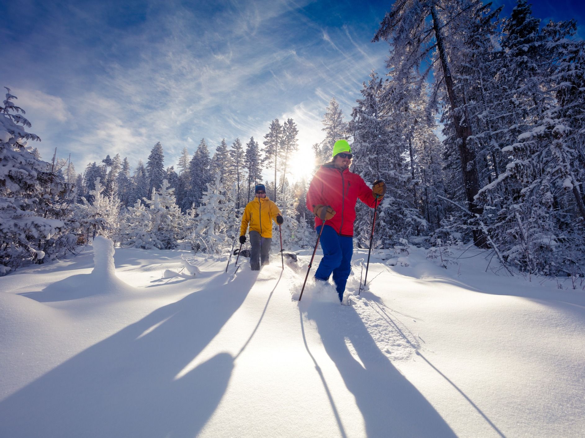
In winter, Finland’s Pyhä-Luosto National Park is a snowy wilderness of frozen valleys, ravines and ‘tunturis’, the remnants of two billion-year-old mountains. Due to the amount of snow that falls in this area in the winter months (between 10-12 cm per week), you’ll have to use snowshoes to navigate the park.
There are numerous maintained snowshoeing trails within Pyhä-Luosto. We recommend the Luosto-Torvisen Maja Snowshoeing Trail, which takes you on a circuit through dwarfed old-growth pines and along fell ridges.
Starting along the edge of a ski track, the trail soon ascends into forested terrain and climbs steeply up to the northern ridge of Ukko-Luosto, a 510m (1,673ft) fell. At the summit, enjoy a panoramic view of the trees heavily laden with snow, and stop for a hot drink at the Ukko-Luosto Scenic Hut. You’ll return to your start point along a more gentle route, which winds through old growth forests.
6. Sagadi-Oandu Forest Fairy Tales Trail, Estonia
- Start/Finish: Sagadi Manor/ Oandu Visitor Centre (point to point)
- Distance: 3.4 miles (5.6km)
- Walking time: 2 hours
- Difficulty: Moderate
- Best for: Folklorists and families
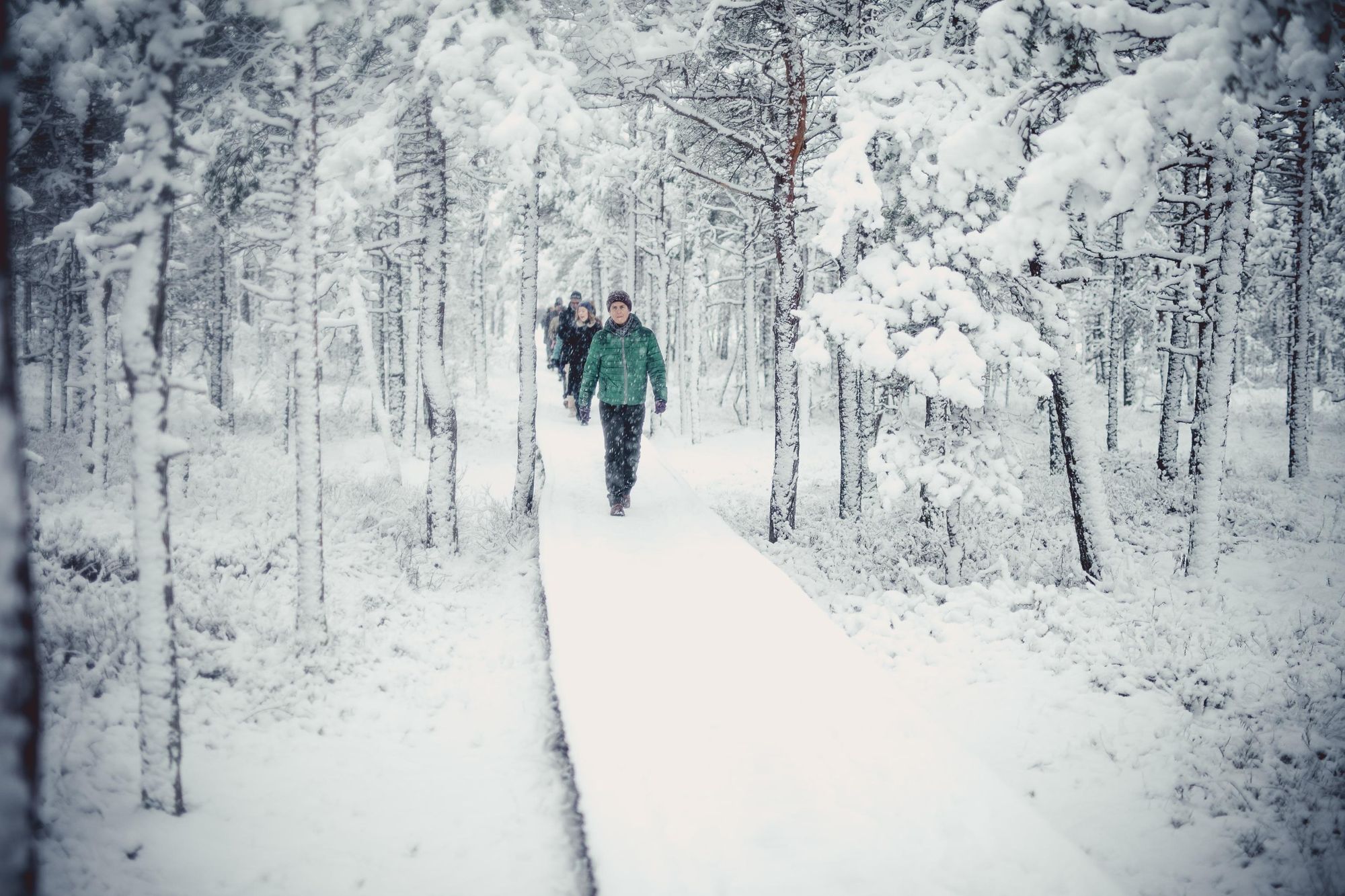
This trail takes you through the dense forests of Estonia’s Lahemaa National Park. You’ll pass by the village of Tepelvälja, where most farms have been abandoned during the Soviet era, and the fields lie uncultivated and wild. The most unique aspect of this route are the story-book signs located along the route, each featuring a folk tale (written in Estonian and English) based on the surroundings. You can also scan a QR code to listen to them.

Winter is the ideal time to do this walk. The surroundings are even more captivating in the snow - this, and reduced crowds, make the storytelling experience even more immersive.
7. The Pádis Circuit, Romania
- Start/Finish: Glavoj Campsite (circuit)
- Distance: 10.3 miles (16.7km)
- Walking time: 8-9 hours
- Difficulty: Challenging
- Best for: Exploring ice caves
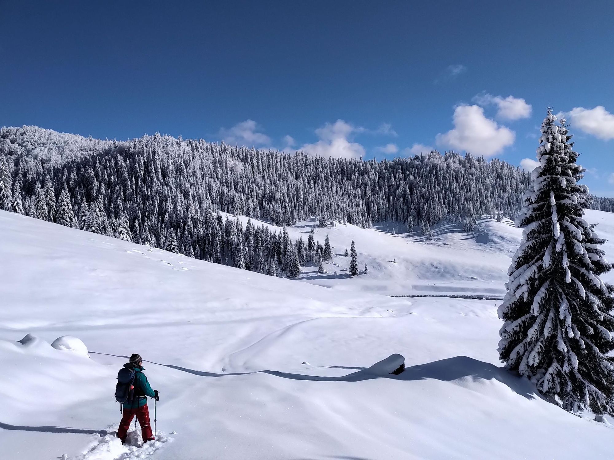
The Pádis Plateau lies in the heart of Romania’s Apuseni Mountains. It’s a karst plateau covered in forest and Alpine pastures, but the real surprise lies underground - a network of ice caves, sinkholes and underground rivers. There are several marked trails within the region, but we recommend a circular hike taking in some of the highlights of the region.
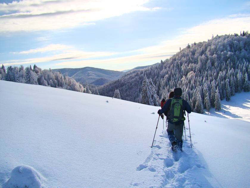
Begin in the tiny village of Glavoj. You’ll pass through a meadow (likely hidden under snow during winter) encircled by pine trees, before heading to Lumea Pierdută, or the ‘Lost World’ - it’s a section of lush ancient forest with sinkholes twisting beneath the surface.
Follow the route down a portion of Valea Seacă, a dry river canyon that will see you climbing over boulders and between narrow rock walls. Soon after this you’ll reach the Fortress of Ponor, a cave with a yawning 200m (636ft) high entrance, clambering down slippery trails and across a rickety wooden bridge to reach it.
Continue along the trail to the glacier cave of Focul Viu, which means ‘living fire’ - it’s so called because when the sun’s rays strike the underground glacier and stalactites, it creates a many-coloured reflection. After exploring the cave, follow the trail back through the forest to the start point.
This is a challenging day hike year-round, but even more so in winter when the weather can obscure trails or make rocky areas icier and harder to navigate. However, it’s possible to shorten your route, and do an out-and-back hike to any of the cave systems mentioned above.
8. Rota Vicentina (The Fishermen’s Trail), Portugal
- Start/Finish: São Torpes/Lagos (point to point)
- Distance: 140.7 miles (226.5km)
- Walking time: 13 days
- Difficulty: Challenging
- Best for: Exploring the coast of Portugal
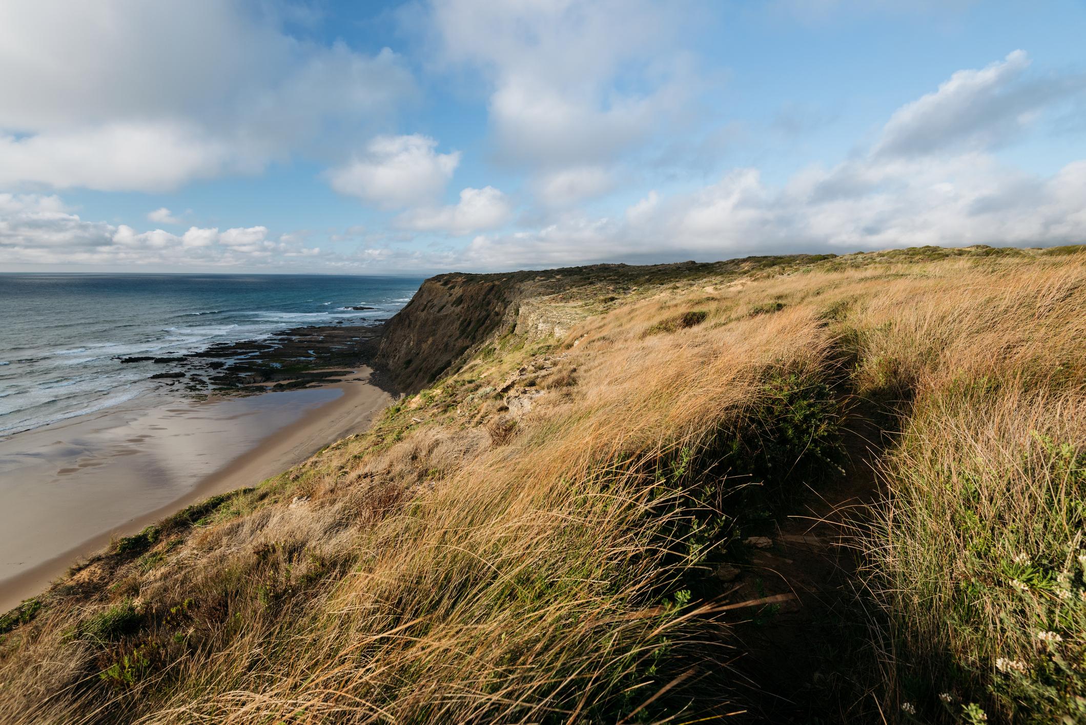
The Fishermen's Trail takes you along the rugged southwestern coast of Portugal, part of the Rota Vicentina network, through the Southwest Alentejo and Vicentine Coast Natural Park. You’ll begin in the small village of São Torpes and hike southwards through deserted beaches encircled by rocky cliffs, rocky islets called 'palheirões', and stretches of wave-battered cliffs.
Upon reaching the Algarve you’ll wind inland, past green fields and whitewashed villages, coastal heathland and small mosaics of cork forest. The route links a number of fishing villages, where you can sample fresh seafood and experience a taste of rural life.
It’s too hot to hike the route in entirety during the summer months - it’s recommended to do so between September and June. Between December and February you’ll encounter fewer crowds, and temperatures averaging 15°C.
9. Monte La Meta da Pianoro Campitelli Loop, Italy
- Start/Finish: Pianoro Campitelli Car Park (circuit)
- Distance: 8.4 miles (13.2km)
- Walking time: 4-5 hours
- Difficulty: Challenging
- Best for: Animal tracking
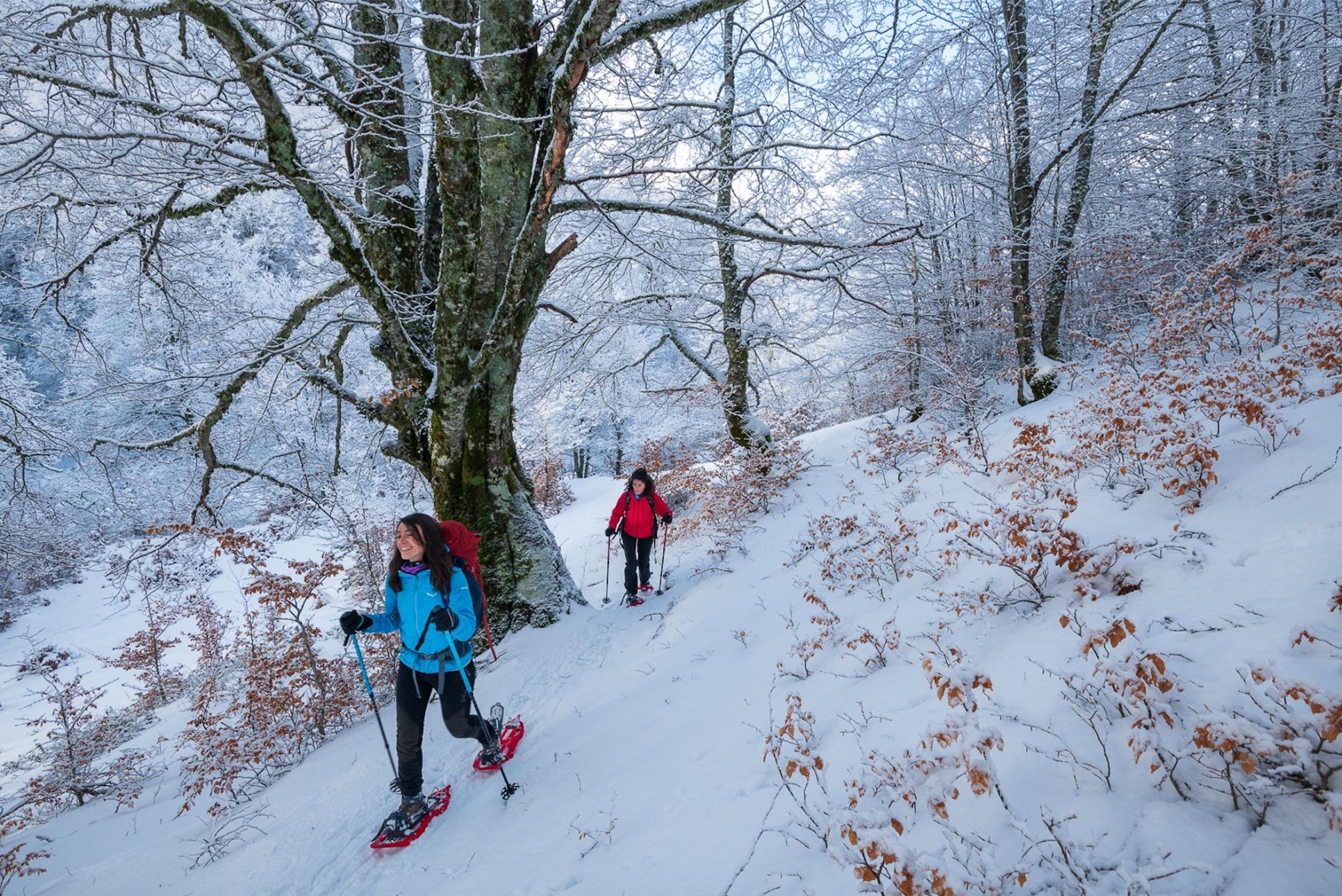
This gorgeous circular hike is part of a 434-mile (700km) network of hiking trails in Italy’s Abruzzo National Park, where beech woodlands give way to Alpine meadows and soaring granite peaks. Leaving the car park, you’ll strike out on a well-trodden path through beech woodland, which emerges onto Pagana Valley, where the grassy slopes are littered with boulders and bordered by high limestone cliffs.
You’ll ascend to Passo dei Monaci (1,967 m/6,543ft) a mountain pass taking you underneath Monte Meta, (2,241m/7,352ft), before descending into a parallel valley towards the Campitelli Plateau. From here, you’ll return through the woods to your starting point.
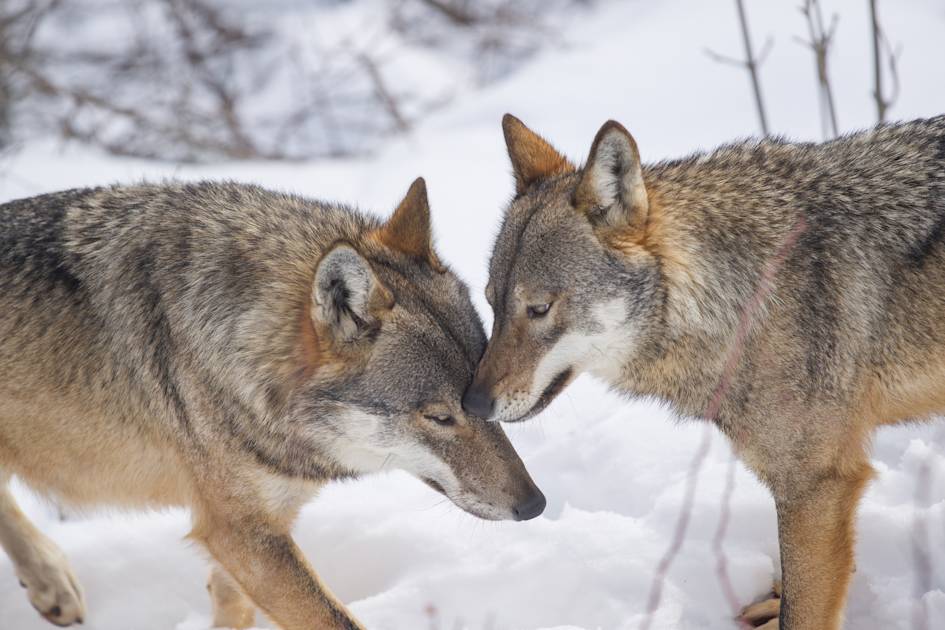
Monte Meta is a protected reserve only accessible by groups with a guide during the summer months - it’s home to the Apennine Chamois, Marsican brown bear and wolves. While wolves and brown bears are elusive, winter is the best time to track them - you might see their tracks in the fresh snow as you hike.
10. The Guayadeque Valley to Cruz de Tejeda, Gran Canaria
- Start/Finish: Zona Recreativa de Guayadeque/ Cruz de Tejeda (point to point)
- Distance: 13 miles (21km)
- Walking time: 9-10 hours
- Difficulty: Challenging
- Best for: Winter sun hiking
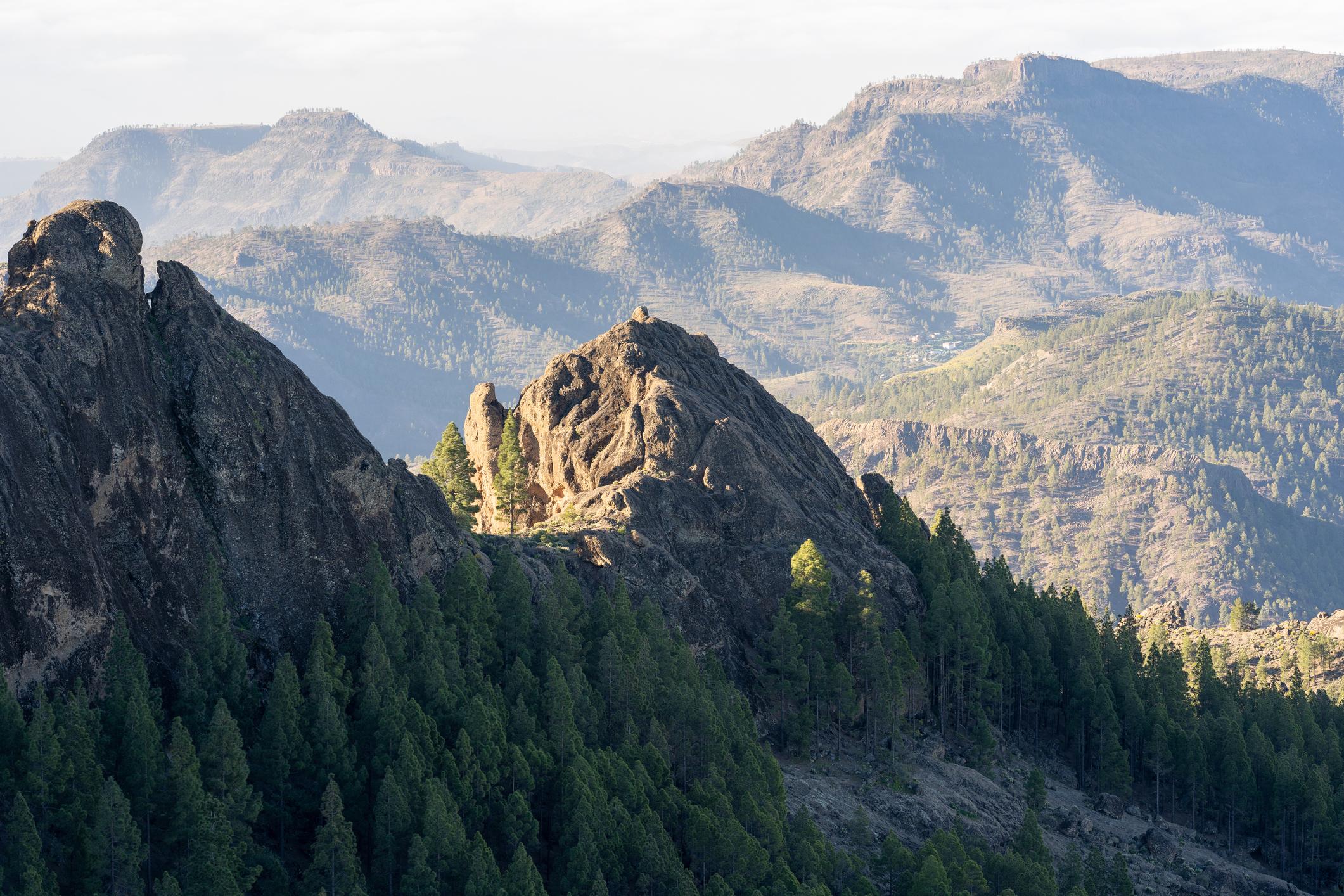
The trek begins in the historic Guayadeque Ravine (also known as a ‘barranco’), shaped by volcanic activity and rich in diverse flora and fauna. You’ll follow a rarely used hiking trail up through the barranco. The bottom of the ravine is green with terraced fields and studded with cacti, and sheer volcanic walls rise up on either side.
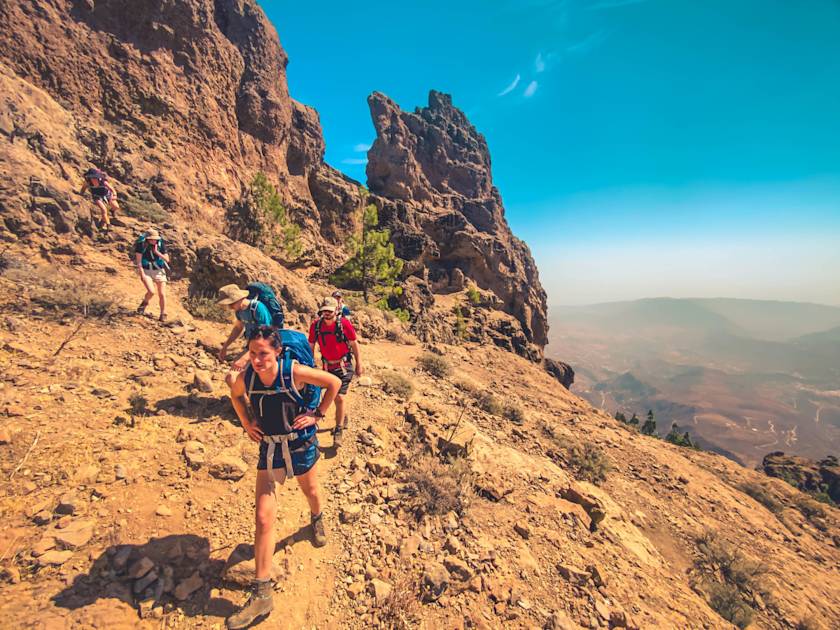
Follow the route upwards through the barranco and into pine forest, before ascending up a steep volcanic mountain pass into the La Cumbre region – the highest part of the island. You’ll reach Pico de Las Nieves, the highest point in Gran Canaria at 1,950m (6,397ft), where you’ll be rewarded with uninterrupted views over the island’s deep barrancos and volcanic peaks.
Gran Canaria is known as a winter sun destination, and it’s ideal for hikers looking to escape the cold and wet. In December the temperature averages around 20°C with only a few wet days (although it will be slightly cooler in the mountains).
What to Wear for Winter Hiking
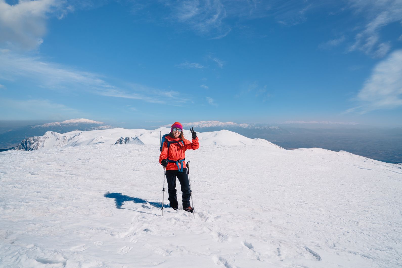
In some parts of Europe, like southern Portugal and the Canary Islands, winter temperatures average between 15-20°C, meaning you’ll be fine with lightweight hiking trousers, a microfleece and a waterproof jacket. But further north the temperatures dip below freezing - especially if you’re hiking at altitude.
We recommend the following clothes for winter hiking:
- Thermal underwear (preferably wool/merino - no cotton)
- Breathable base layer (full length, long-sleeved, wool/merino - no cotton)
- Warm woollen sweater or fleece
- Insulated jacket or ‘Reinforcement layer’ (down or synthetic/PrimaLoft)
- Hardshell Gore-Tex mountain jacket with hood (breathable, windproof and waterproof)
- Gore-Tex mountain trousers, ideally with braces (breathable, windproof and waterproof)
- Gaiters (optional)
- Buff or scarf
- Warm hat
- Windproof overmittens
- Warm woollen gloves or mittens
- Warm finger gloves
- Winter hiking boots with a stiff sole (crampon-compatible, worn-in)
If you’re hiking in sub-zero temperatures, you can stay warm by layering your clothing. Make sure you choose breathable layers and don't start off wearing everything; if you sweat and your layers get wet, you’ll become cold.
FAQs
Where can you go snowshoeing in Europe?
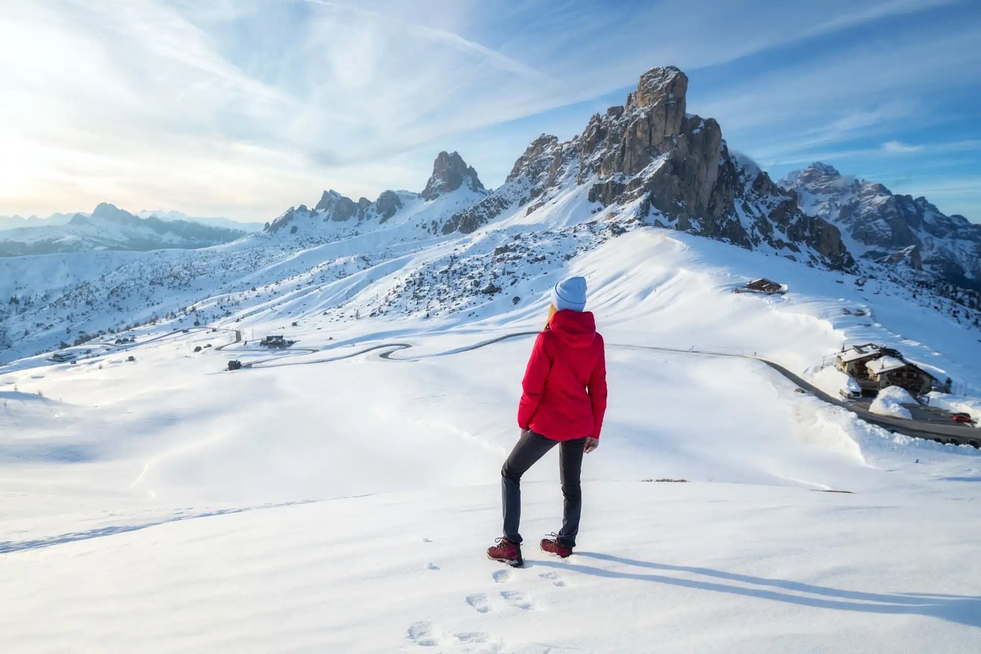
You can go snowshoeing in Europe in regions like the Dolomites in Italy, the Julian Alps in Slovenia and the Carpathians in Romania. These areas offer deep snow, quiet trails and spectacular alpine scenery ideal for winter walking.
What are the best winter hiking trails in Europe?
Some of the best winter hiking trails in Europe include Mount Etna’s Pista Altomontana circular hike in Sicily, the Logar Valley hike in Slovenia’s Julian Alps and a winter ascent of Scotland’s Ben Nevis.
Can you go winter hiking in the Alps?
Yes, you can go winter hiking in the Alps, especially in areas like the Italian Dolomites and French Alps. These regions have marked trails, snowshoe routes and guided winter treks. However, these routes are often through forests and valleys, as many trails at high altitudes are closed and impassable due to snow.
Is it safe to go winter hiking in Europe?
Winter hiking in Europe is safe when proper precautions are taken. Stick to marked trails at lower altitudes, wear suitable cold weather gear and make sure to check the weather forecast before setting out. Travelling with an experienced local guide also helps reduce risks associated with snow, ice, and alpine exposure.
What gear is provided on guided winter hiking trips?
Guided winter hiking trips typically provide snowshoes, poles and crampons and ice axes if needed. You’ll need to bring your own cold weather gear, including thermal base layers, a down jacket and waterproofs.
Read More:
- How to Pack and Prepare for a Cold Weather Adventure
- 20 of the Best Hikes in Europe
- 10 of the Best Hut to Hut Hikes in Europe
Inspired? Check out our Sub Zero Adventures in Europe and Beyond.


