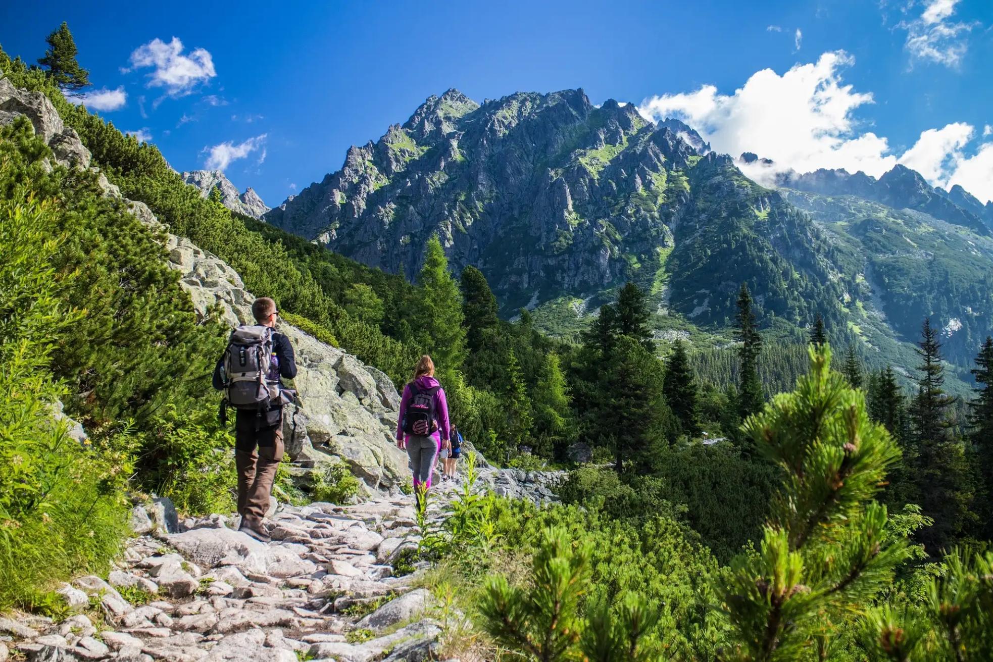
With nine national parks and a vast network of trails, Slovakia is a paradise for hikers. Immerse yourself in the alpine environment of the High Tatras, a line of jagged stony peaks running along the Polish border. Below them, the Low Tatras are known for their grassy peaks and forested slopes, while in the lesser-known Malá and Veľká Fatra regions you’ll find plunging karst gorges, caves and lush meadows.
Meanwhile, Slovak Paradise National Park really does live up to its name, with its verdant forests and plunging limestone gorges, which can be navigated via an exciting network of ladders, chains and walkways. All of these regions lie relatively close to one another, meaning that on a hiking trip to Slovakia, you’ll be exposed to an astonishing diversity of landscapes.
Slovak Paradise National Park really does live up to its name, with its verdant forests and plunging limestone gorges
What sets Slovakia apart is its vast network of waymarked and colour-coded hiking trails, spanning over 9,320 miles (15,000km). Red is used to denote major trails, such as the multi-day Tatranská Magistrala. Blue trails are regarded as intermediate trails, valleys and side-ridges, while green denotes shorter trails of local importance. Yellow trails stand for connections and shortcuts. On many of the hikes we’ve selected, you’ll be walking routes that incorporate a variety of different colour trail sections.
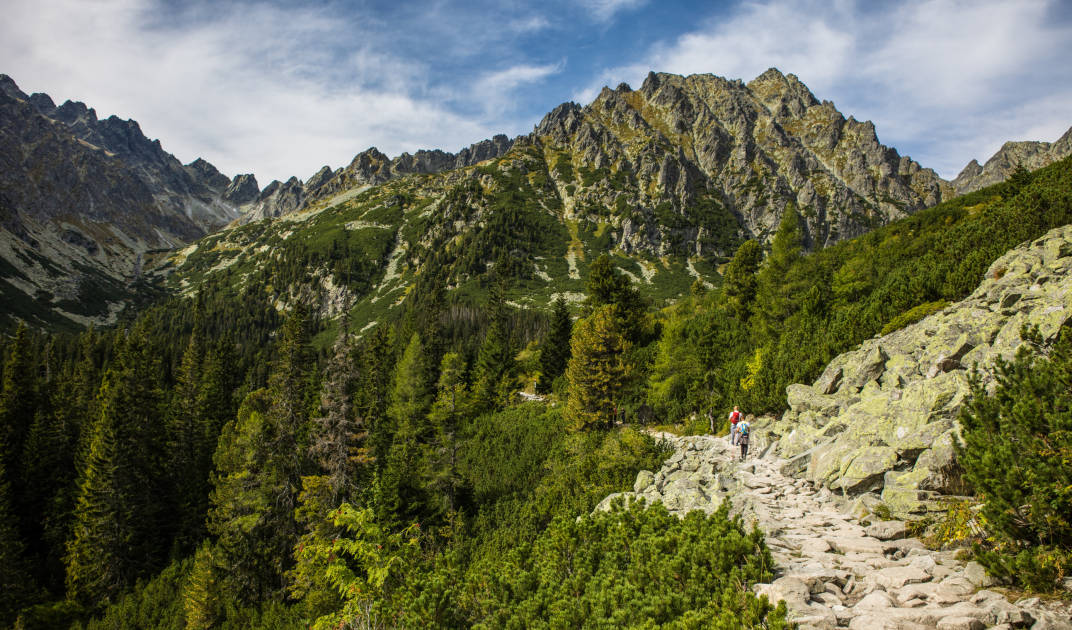
We’ve selected 10 of the best hikes in Slovakia, which take you to some of the country's wildest and most scenic locations.
- Tatranská Magistrala
- Prielom Hornádu and Sucha Bela Gorge Loop
- Zelene Pleso (Green Lake)
- Štrbské Pleso to Popradské Pleso
- Koprovsky Peak
- Kriváň Summit
- Velky Rozsutec Summit via Janosikove Diery
- The Chopok Loop
- Ostrá and Tlstá Circuit
- Mlynická Dolina to Furkotská Dolina Loop via Skok Waterfall
Below, we’ve provided short descriptive summaries of the hikes, including the distance and difficulty level. We’ve also included tips on places to stay and transportation to and around Slovakia’s hiking regions.
The Best Hikes in Slovakia, Mapped
This interactive map provides the rough location of the trailheads for these hikes. The majority of them are located within the High Tatras Mountains of Slovakia, one of the most popular hiking destinations in the country.
The Best Hikes in Slovakia
1. Tatranská Magistrala
- Start/Finish: Podbanské /Vel’ké Biely Pleso
- Distance: 26 miles (42km)
- Duration: 2-4 days
- Difficulty: Challenging
- Best for: Exploring the High Tatras
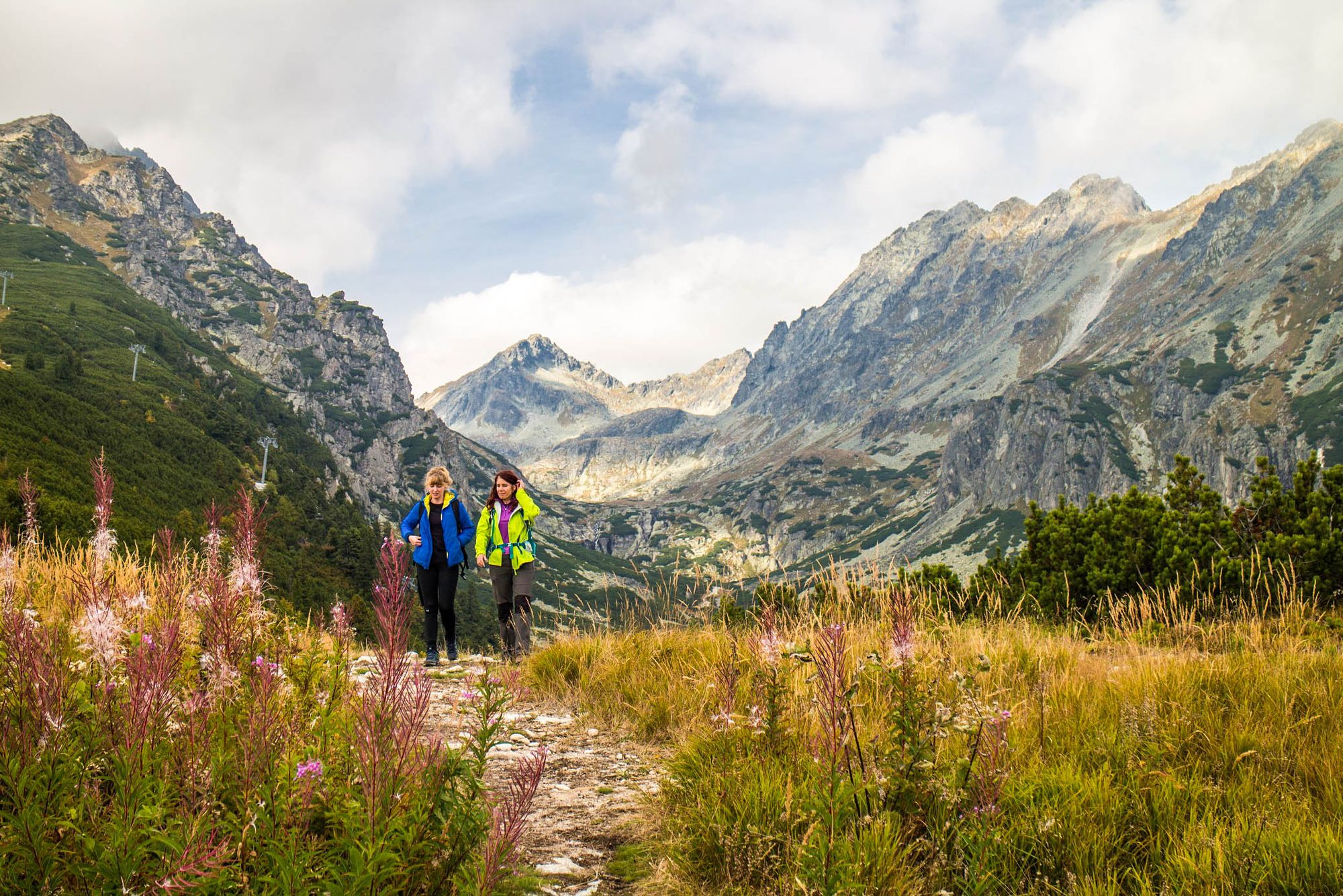
The Tatranská Magistrala trail is a multi-day hike through the High Tatras, Eastern Europe’s only alpine mountain range. This 26-mile (42km) trail starts in the mountain village of Podbanské in the foothills of the Western Tatras and finishes at the remote lake of Vel’ké Biely Pleso, although many people continue walking to the scenic village of Ždiar (or you can reverse the direction). Along the way you’ll pass through verdant valleys, spruce forest and head over the wild, stony High Tatras peaks.

The path mostly stays within the altitudes of 1200m (3,937ft) to 1800m (5,905ft). However, there are a couple of summit hikes, including an ascent of Sedlo pod Svišt’ovkou (2,023m/6,637ft), the highest point on the trail. This is a steep ascent with chains to help you over the slippery scree slopes.
If you’re looking for a challenging trek on quiet trails that you could do over a long weekend, then the Tatranská Magistrala is ideal. There are several mountain huts you can stay at along the way. Book them in advance between June to August.
2. Prielom Hornádu and Sucha Bela Gorge Loop
- Start/Finish: Hrabušice (circuit)
- Distance: 10.3 miles (16.6km)
- Walking time: 6-7 hours
- Difficulty: Challenging
- Best for: An adventurous gorge walk
The Suchá Belá gorge is one of the most popular hikes in the aptly named Slovak Paradise National Park, a forested karst plateau marked with deep gorges, canyons and caves. Considering that Suchá Belá is a one-way route, we recommend this circuit that incorporates another gorge hike, Prielom Hornádu - it makes for an exhilarating day hike.
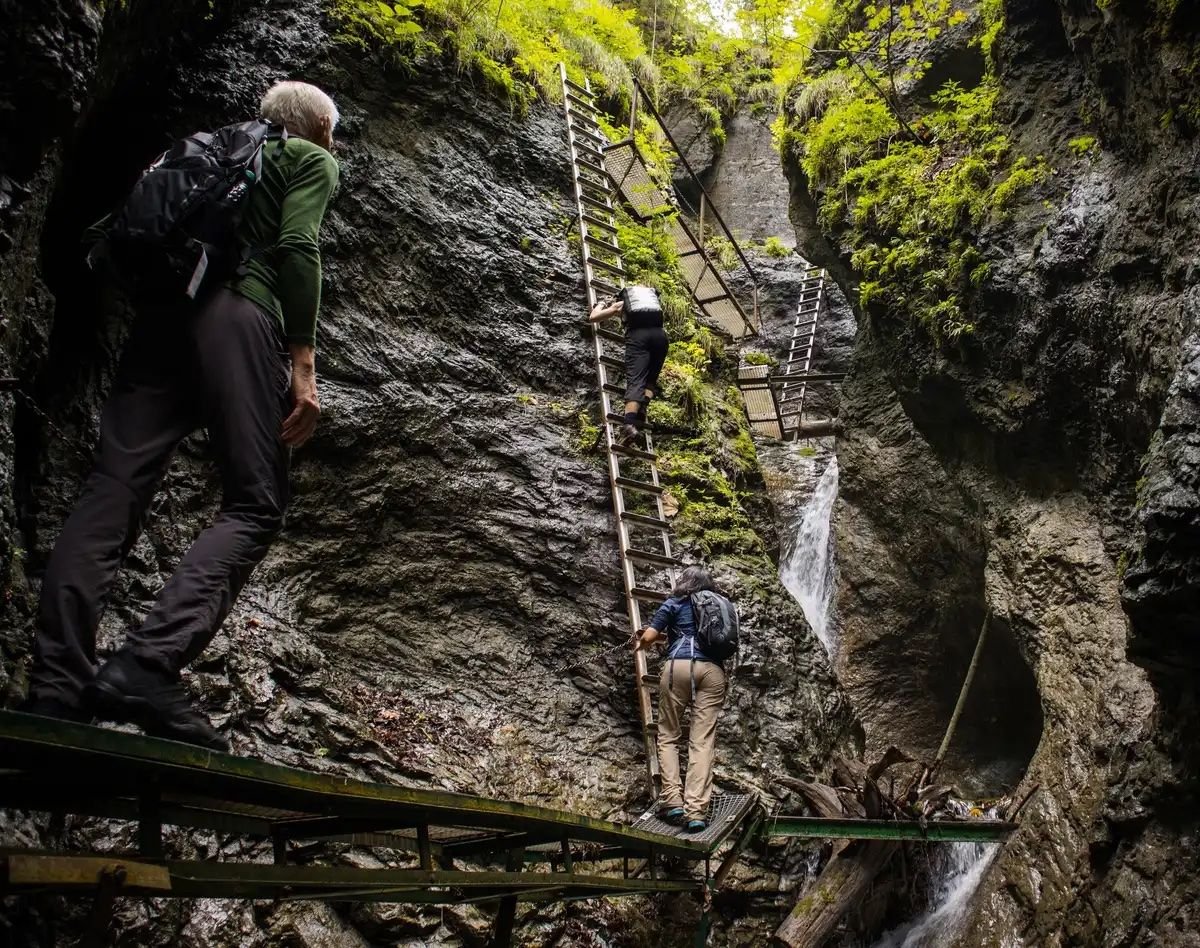
Beginning at the parking lot near Hrabušice, you’ll follow a hiking path alongside a small river into the gorge, with deciduous forest on either side. Sometimes the path crosses the river, either along a horizontal ladder or over boulders. As you get deeper into the gorge, the limestone walls rise higher. You’ll climb up metal ladders and footholds hewn into the rock, and traverse narrow ledges with chains to clutch onto.

At the end of the gorge, follow the signposted route towards ‘Pod Vtáčim hrbom’ along a stony track through the forest. You’ll emerge onto a springy alpine meadow. This makes for a good lunch stop, especially considering there’s a refreshments cabin with a beer tap! You can also see the ruins of Kláštorisko, the ruins of an ancient monastery once inhabited by Carthusian monks.
After lunch, you’ll head through the forest to the resort of Letanovský mlyn, where you can enter the Prielom Hornádu gorge. Head westwards through the gorge, encountering a series of bridges, catwalks and ledges that rise above the fast-flowing Hornádu river. Once you emerge from the gorge, it’s a short walk to your starting point.
3. Zelene Pleso (Green Lake)
- Start/Finish: Tatranska Lomnica (circuit)
- Distance: 12.6 miles (20.2km)
- Walking time: 7-9 hours
- Difficulty: Challenging
- Best for: Lakes and peaks
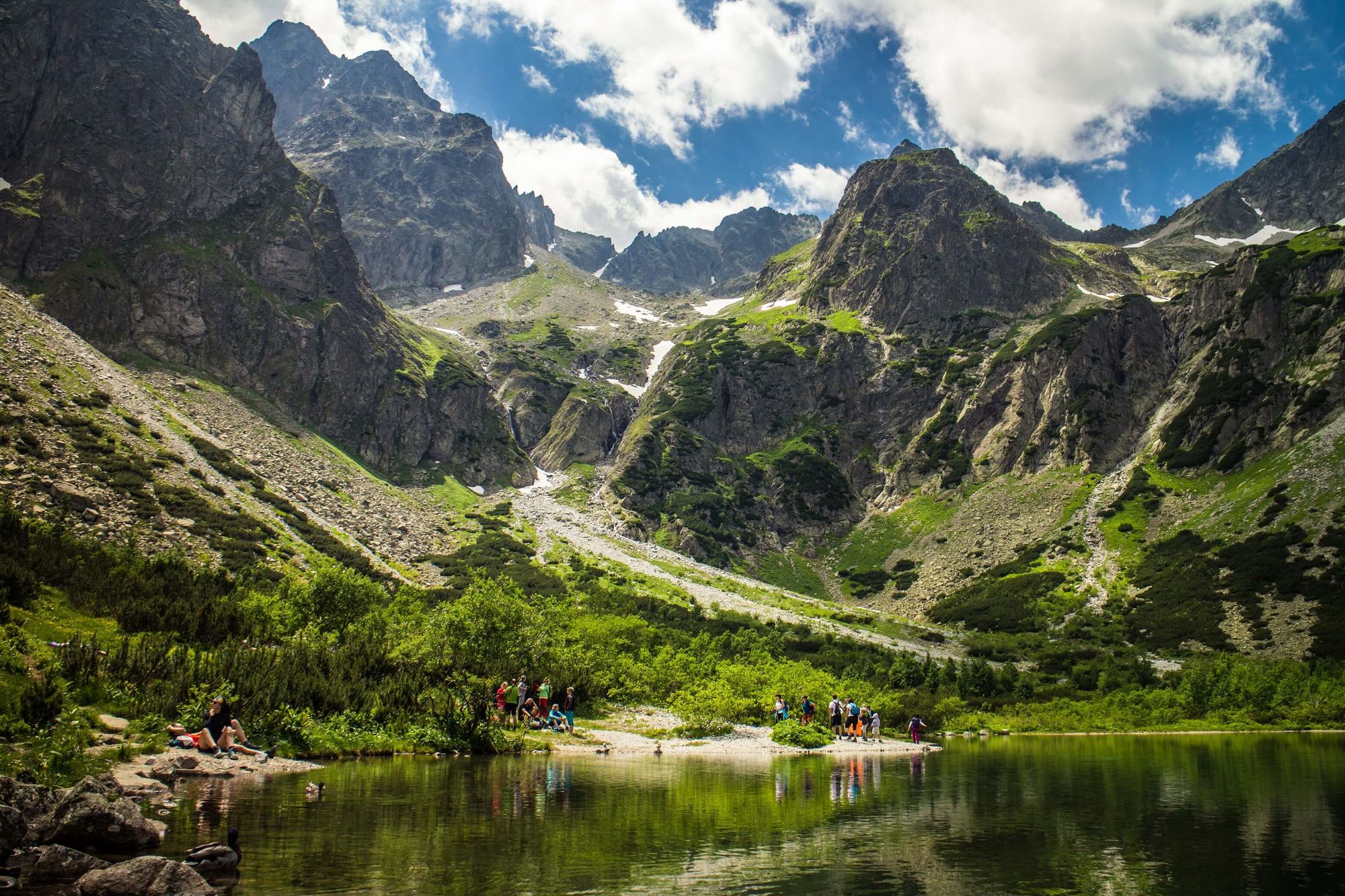
Zelene Pleso is an idyllic emerald lake in the High Tatras, encircled by mountain peaks. This circular hike allows you to experience the mountain environment around it.
Beginning at the village of Tatranska Lomnica, take the cable car halfway up Lomnicky Peak and follow the red trail to Lomnické sedlo (Lomnicky saddle), which climbs upward across grassland littered with boulders. From the saddle, you can ascend the peak of Veľká Svišťovka (2038m/6,686ft) for panoramic views across the High Tatras.

Follow the trail back down the mountain side - a long, steep descent across rocky terrain - and down a gorge, with chains to help you keep your balance. From here, it’s just a little further to the breathtaking sight of Zelene Pleso, which is a good place for a lunch break.
To return to Tatranska Lomnica, it’s a steady downhill walk through the forest, mainly along a river. Follow the green trail back to your starting point.
4. Štrbské Pleso to Popradské Pleso
- Start/Finish: Štrbské Pleso (circuit)
- Distance: 5.5 miles (9km)
- Walking time: 3-4 hours
- Difficulty: Moderate
- Best for: Lakeside strolls
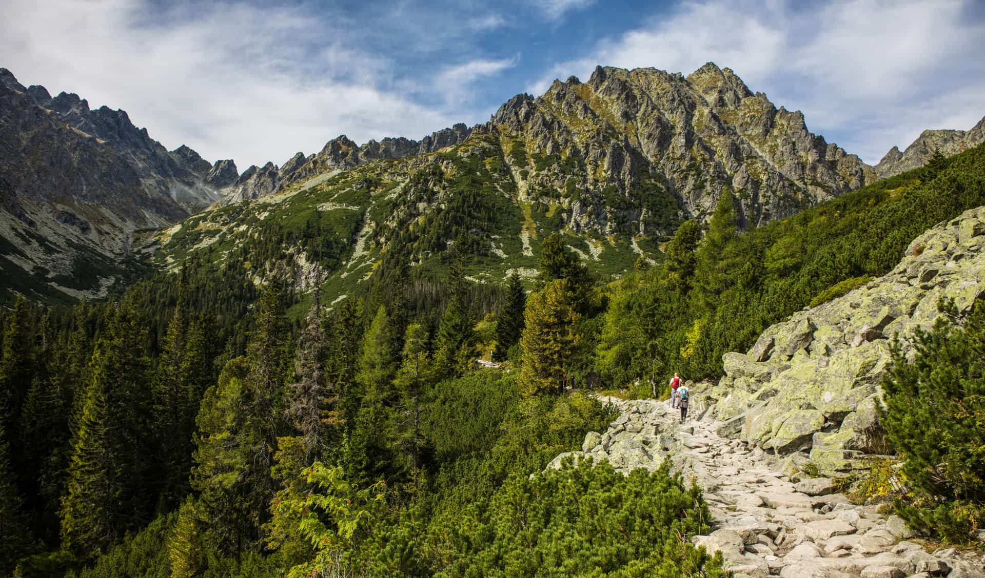
This gorgeous hike in the High Tatras takes you from one glacial lake (‘pleso’ in Slovak) to another, passing through forest with mountains soaring on either side of you. There are several different hiking paths from Štrbské Pleso to Popradské Pleso, enabling you to do a circular hike.
Beginning at Štrbské Pleso, follow the red trail marked “Popradské Pleso”. The trail begins with an easy ascent and winds through a shady pine forest along a well-made stone path. When you reach a junction, follow the red trail to the left. It will take you along a ridge, where clearings in the forest allow you glimpses of the Predna Ostrva Mountain.
The trail becomes narrower and rockier before descending back into the forest. Follow the sign to Popradské Lake, where you can stop for food or refreshments at one of the two mountain cabins.

Continue clockwise around the lake. At its southernmost tip, the path forks. Take the left hand route which leads south, rather than continuing on along the lake shore. Hike south to see the Symbolic Cemetery, a memorial dedicated to people who have died in the High Tatras. Hand carved wooden crosses and memorial plaques are laid out among the trees and the boulders.
Carry on until you reach a paved road. Turn right and walk along it until you reach a hiking path on the left hand side. This undulates gently back through the woodland towards Štrbské Pleso.
5. Koprovsky Peak
- Start/Finish: Štrbské Pleso (circuit)
- Distance: 12.1 miles (19.4km)
- Walking time: 7-9 hours
- Difficulty: Challenging
- Best for: A less crowded alternative to Rysy Peak
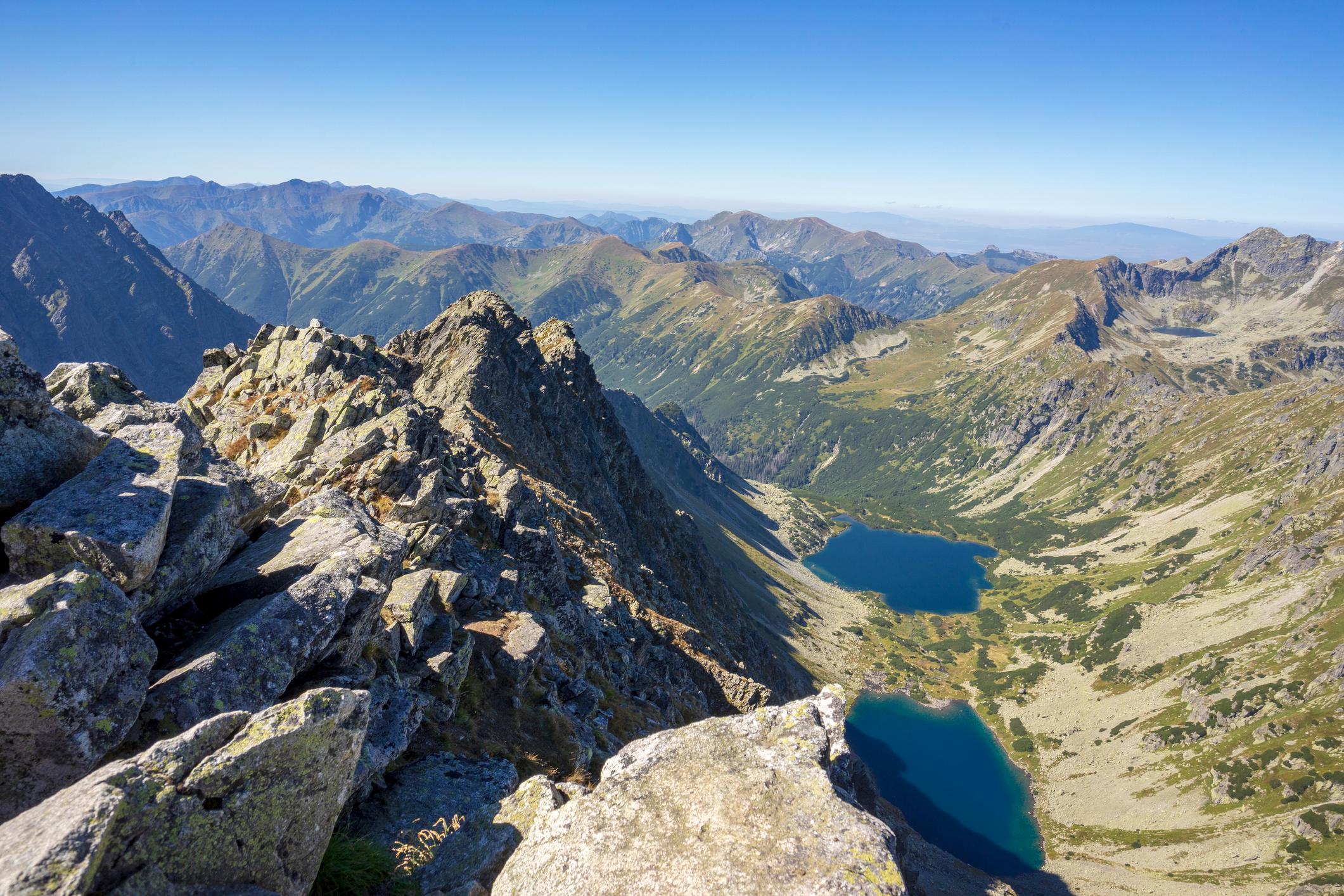
Koprovsky Peak (2,374m/77,88ft) lies in the heart of the High Tatras mountains, close to Rysy - a mountain on the Slovak-Polish border famed for being the highest in Poland at 2,501m (8,205 ft). Climb Koprovsky and you’ll experience similar views, without the crowds.
This hike begins by following the red hiking trail from Štrbské Pleso to Popradské Pleso through the pine forest. Once you reach Popradské Pleso, hike northwards along the blue trail (signposted Vyšné Kôprovske sedlo), emerging from the forest onto a rocky mountainside. At a fork in the trail, continue left along the route until you reach Vel’ké Hincovo Pleso, a small lake surrounded by rocky peaks.
Just past the lake, you’ll follow the red trail up to Vyšné Kôprovske sedlo (the saddle of Koprovsky Peak), a steep but non-technical route along a dirt path. From the saddle you’ll toil up the rocky slope towards the summit. As you get closer to the top, there are chains for support. Enjoy the panoramic mountain views of the West Tatras and the High Tatras peaks to the east, before descending the way you came.
6. Kriváň Summit
- Start/Finish: Tri Studničky (circuit)
- Distance: 9.3 miles (15.1km)
- Walking time: 7-8 hours
- Difficulty: Challenging
- Best for: Iconic summit-bagging
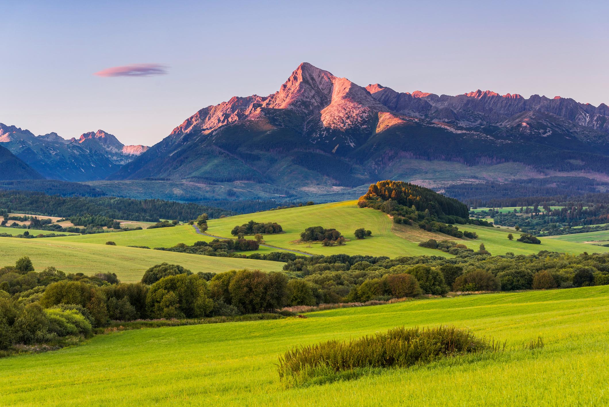
Kriváň is regarded as one of the most beautiful mountains in Slovakia thanks to its distinctive curved summit, and has achieved iconic status as a symbol of Slovakian independence.
There are several routes to the top, so you can choose a different one for ascent and descent and create a circuit. Starting from Tri Studničky car park, take the green trail which climbs the western flank of Kriváň towards the summit. The stony path climbs up through rough grassland, speckled with wildflowers in summer, and studded with pine trees.
After a few hours of hiking (and around 700m/2,296ft of ascent), you’ll come to the Krivánsky žľab trail intersection, where you’ll follow the blue trail to the summit of Kriváň. Beyond this point the vegetation disappears, replaced with a rocky Alpine landscape. Clamber your way along the boulders to the summit, for views of high jagged peaks all around.
Return to the Krivánsky žľab trail intersection via the same route, then take the blue trail back down the mountain. Surrounded by stunted pine trees, you’ll be able to soak up the mountain views as you hike. After several miles you will reach Jamské Pleso, a glacial tarn ringed with pines. From the tarn, follow the red trail westwards back to your start point.
7. Velky Rozsutec Summit via Janosikove Diery
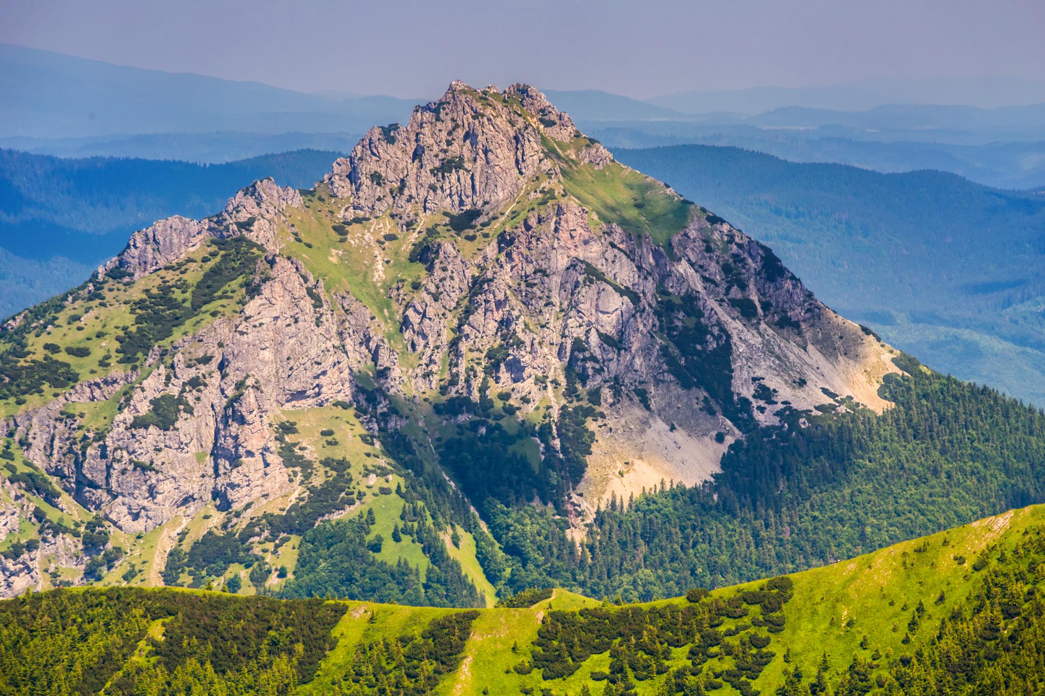
- Start/Finish: Parkovisko Janošíkové Diery (circuit)
- Distance: 18.5 km (11.4 miles)
- Walking time: 7-8 hours
- Difficulty: Challenging
- Best for: Gorges and summits
A popular hike in the Malá Fatra National Park which incorporates both the ladders and waterfalls of the Janosikove Diery - a series of connected gorges - alongside a summit hike to Velky Rozsutec, in the Malá Fatra mountains.
Beginning in the car park, follow the blue trail into Janošíkové Diery. The route takes you along metal boardwalks through a steep narrow gorge - you’ll climb up ladders and through narrow rock windows. At Podziar, continue along the blue trail, an adventurous route across fallen logs and narrow ladders in the rock face.
When you reach the Sedlo Medzirozsutce signpost, head south along the red trail towards Velky Rozsutec (1610,m/5,282ft). You’ll climb steeply up through pine forest, before emerging above the treeline onto the rocky slopes. A chain will guide you up to the summit, where you can enjoy the views of the forested hills below. Descend the mountain via the steep scree path to the south.
At Sedlo Medziholia, take the green trail leading through the woodlands towards the small town of Štefanová (where you can grab refreshments or lunch). Return to Janosikove Diery via the yellow trail, and continue along the yellow trail into the Nové Diery gorge to the village of Pod Rozsutec. Then head west along the green trail to your starting point.
8. The Chopok Loop
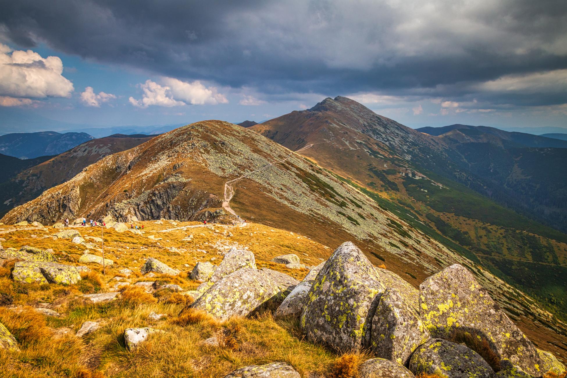
- Start/Finish: Kosodrevina/ Trangkovska (circuit)
- Distance: 7.4 miles (12km)
- Walking time: 6-7 hours
- Difficulty: Moderate
- Best for: Ridge walks in the Low Tatras
This hike takes you along a rocky ridge from Mount Chopok to Mount Ďumbier, which at 2,043m (6,703ft) is the highest peak in the Low Tatras mountain range. It’s considered one of the most beautiful ridge hikes in Slovakia.
The trailhead is located at the cable car station of Kosodrevina; you’ll need to park in Trangkovska, the village below, and catch the cable car up the slopes. This route takes you on a circuit that returns to you to the car park in Trangkovska through a wooded valley - but it’s also possible to do a circuit returning you to Kosodrevina.
At Kosodrevina cable car station, follow the yellow trail to Mount Chopok - a dirt track winding up a grassy mountainside littered with boulders. After around 90 minutes of hiking, you’ll reach the boulder field at the top (there is also a cable car station here, if you want to shorten the walk).
From Chopok, take the red trail eastbound along the ridge. The path undulates gently up and down as it passes over Konske peak (1,875m/6,151ft), and Demanovske and Krupovo saddles. Carry on until you reach Mount Ďumbier, which has a rough grassy surface littered with boulders. From here, you’ll have a panoramic view of the High Tatras and the Low Tatras peaks.
Follow the trail downhill to the cottage of Chata M. R. Štefánika (a mountain cabin). From here, take the green trail westwards to Trangkovska. It takes you along the side of the mountain, with trees rising up either side; through the clearings, you’ll have excellent views of forest and the mountains soaring above.
9. Ostrá and Tlstá Circuit
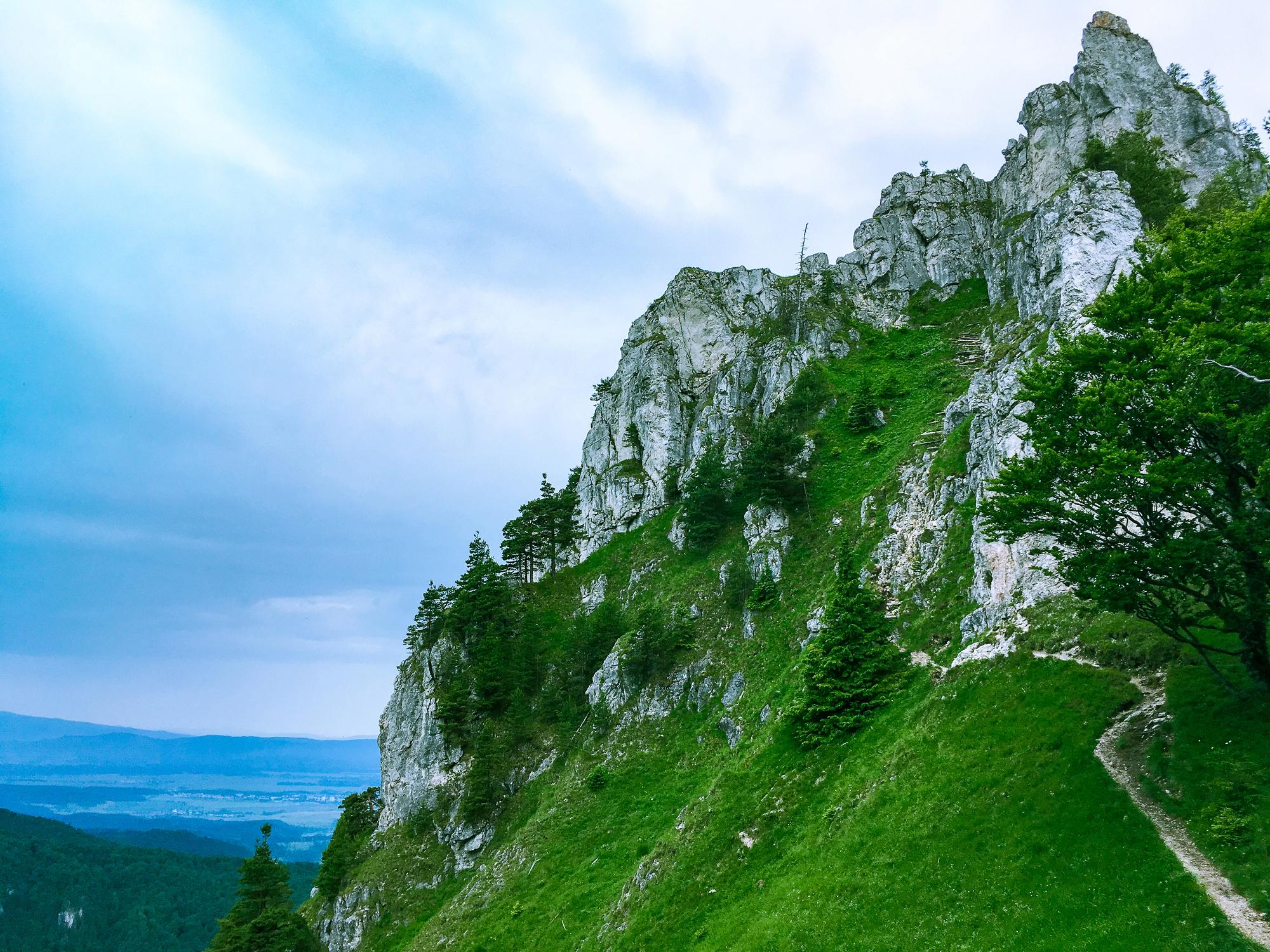
- Start/Finish: Blatnica (circuit)
- Distance: 9 miles (14.5km)
- Walking time: 4-6 hours
- Difficulty: Moderate
- Best for: Exploring the lesser-known Veľká Fatra region
The National Park of Veľká Fatra is known for its eponymous mountains, which are gentler and grassier than the stony High Tatras. On this hike you'll be climbing two of the Veľká Fatra - Tlsta (1,373.3m/4,506 ft) and Ostrá (1,764m/5,787ft).
You’ll follow a path along the river leading out of the village, then follow the left hand trail through the wooded Gaderska valley - with a scenic detour to the atmospheric ruins of Blatnica Castle if you wish. At the gamekeeper’s lodge, turn right following the blue trail. Ascend the hillside, passing through the Mazarna Caves.
Continue climbing up through the forest until you emerge into lush meadows. From here, follow the path up to Tlsta, which means ‘fat’ - it’s a rounded mountain with rocky cliffs. The ascent takes you up through meadows and rocky terraces, and you’ll find a boulder-strewn meadow on the summit itself.
After a rest break, you can choose whether to take the blue or the green trail to Ostrá. The green trail is a longer, gentler descent through the forest, with rocky outcrops and clearings where you’ll have views of the surrounding hills. The blue trail is a more direct but steeper descent.
If you take the blue trail, you’ll arrive at the Muráň crossroad - follow the yellow trail towards Ostrá, passing fallen trees and rocky outcrops. To reach the summit, climb through a rock window and hike uphill to Ostrá saddle. Follow a rocky ridge to the summit, with chains to aid you.
Returning to the Muráň crossroad, you now take the blue trail through the Konský Dol to the start point. It takes you through the woods, with karst boulders and cliffs rising up on either side of you.
10. Mlynická Dolina to Furkotská Dolina Loop via Skok Waterfall
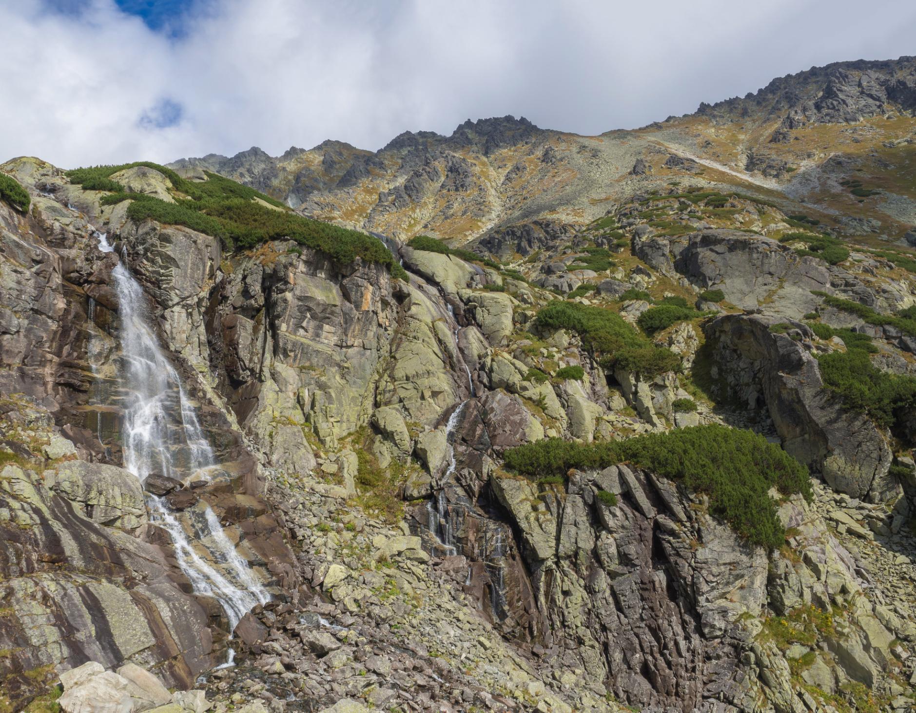
- Start/Finish: Štrbské Pleso (circuit)
- Distance: 10.3 miles (16.5km)
- Walking time: 6-8 hours
- Difficulty: Challenging
- Best for: Scrambles and waterfalls
This circuit in the High Tatras begins at the Štrbské Pleso lake and takes you through the glacially carved Mlynická Valley, on a scramble over the Bystra Lavka saddle and back along the Furkotska Valley. You can only hike the route in this direction, in order to prevent hikers bumping into each other on the saddle.
Head north from the Štrbské Pleso cable car station (you’ll see trail signposts to point you in the right direction). You’ll turn left after passing a skiing complex and hike through a tranquil pine forest. The path ascends steadily towards the Mlynická Valley, following the curves of the Mlynicky stream. You’ll rise up above the treeline, giving you good views of the surrounding peaks, and around three miles into the hike, will encounter Skok Waterfall.
After the waterfall, the ascent becomes steeper and rockier, with chains to help you. It zigzags upwards towards the picturesque Capie Lake, an Alpine tarn located at an altitude of around 2,000m (6,561ft). Take a break here, before following the yellow trail on a steep climb to 2,300m high (7,546ft) Bystra Lavka.
As the ascent continues, you may need to use your hands. Metal chains will help you pull yourself onto and over the ridge, before climbing downwards. It’s a steep descent for the first 150m (492ft), but becomes a little easier. We recommend taking walking poles, as the downhill trail is covered in rock and scree. The slow descent gives you plenty of time to enjoy the views.
Once you’ve arrived in the Furkotska Valley, you’ll be treated to the sight of two mirror-like tarns. From here, continue descending to Štrbské Pleso along the yellow trail, emerging from the rocky terrain into a green valley with views of the gentler, greener Lower Tatras. Follow the trail to Štrbské Pleso, a large lake ringed with pine trees. There are several bars and restaurants where you can stop for refreshments.
When is the Best Time to Hike in Slovakia?
The best time to hike in Slovakia is typically between May to October. During the spring months of May and June, the landscapes are lush and green, with blooming wildflowers and fewer tourists on the trails. In July and August, the weather is warmer and more stable - daytime temperatures in the High Tatras range from 20°C to 30°C - but trails will be busier in popular areas.
In September and October the temperatures dip, especially at night time, but you’ll be treated to beautiful displays of autumn foliage and the weather is still relatively dry.
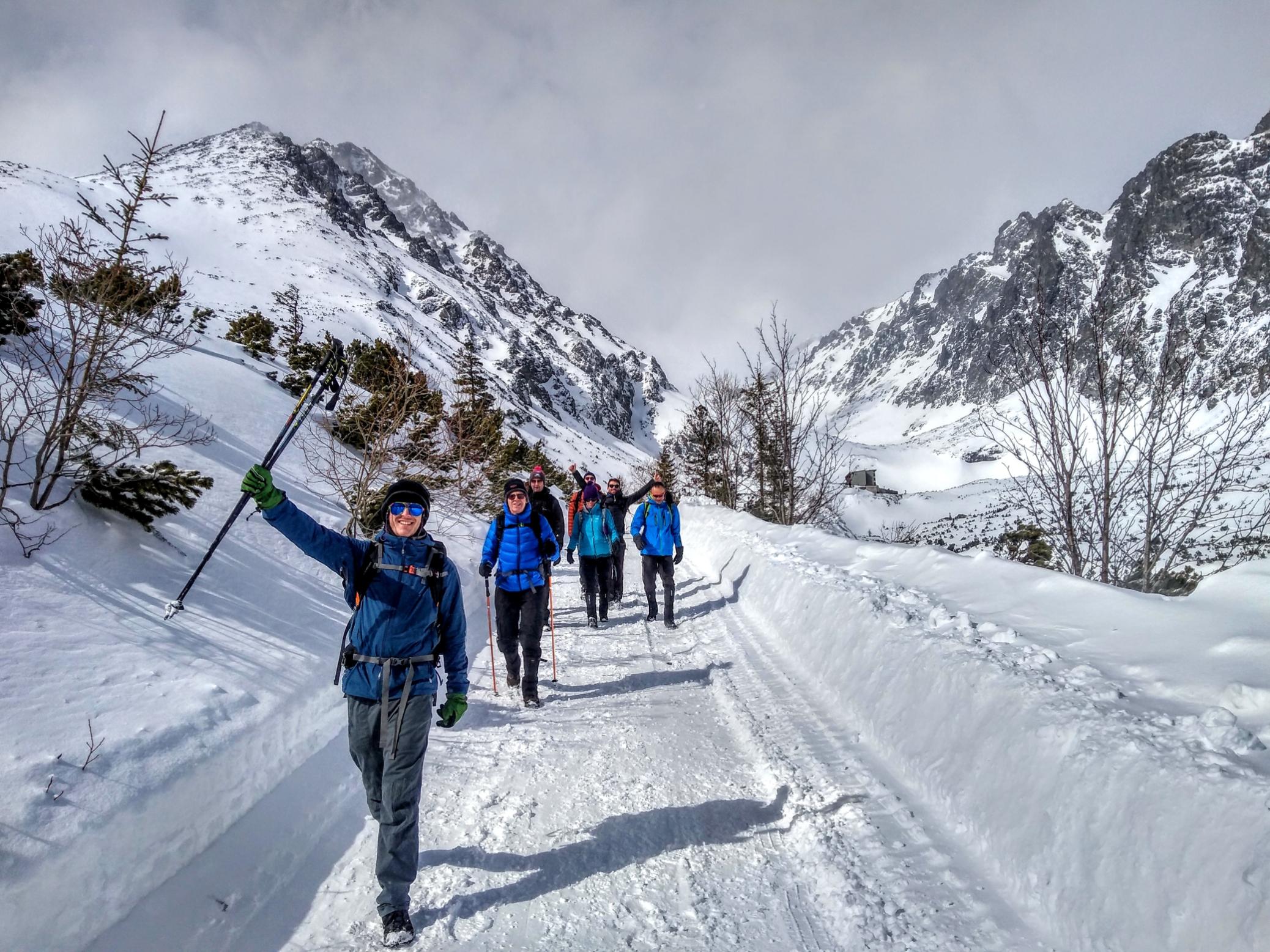
It’s also possible to hike out of season in Slovakia, during the cooler winter months. Between January and March, you might encounter ice, snow, and temperatures plummeting to -20°C at higher altitudes. Luckily, there are lots of saunas and thermal baths where you can warm up after a day on the trails.
What Animals Live in Slovakia?
Slovakia is home to a diverse array of wildlife. The elusive brown bear still roams Slovakia’s mountains, and the forests are home to Eurasian lynx and even wolves.
Red deer and roe deer can be found in the meadows and woodlands, while wild boar are found in the country’s central and southern regions. The Tatra chamois (a species of goat-antelope) is found exclusively in the High Tatras. Rare European bison have recently been reintroduced into the country.
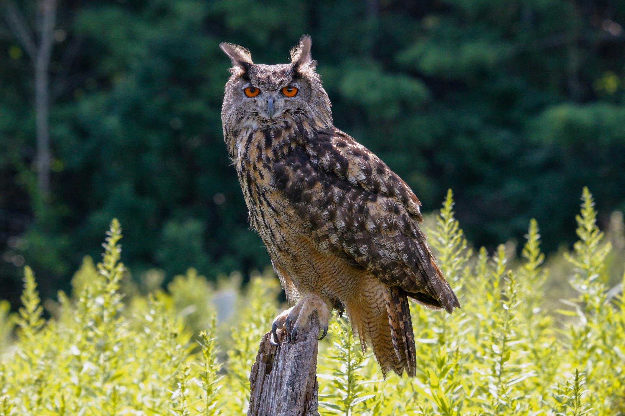
Slovakia is also a popular destination for bird watchers. You’ll find golden eagles soaring on thermals above the peaks. The Eurasian eagle-owl, one of the largest owl species with bright orange eyes, can be found in the woodlands. Reptiles and amphibians also thrive in Slovakia, including the European green lizard and the vibrant black and yellow fire salamander.
Where to Stay in Slovakia?
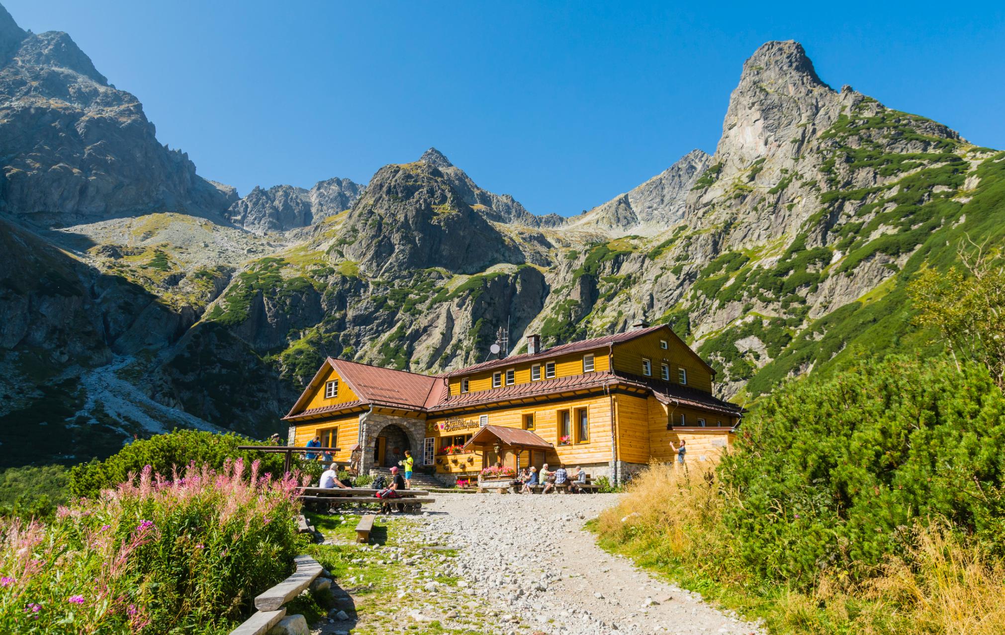
If you go hiking in Slovakia, there are plenty of different accommodation options, including mountain huts or 'chata' offering rustic dormitory accommodation (similar to those found in other parts of Europe). These are ideal options for multi-day treks such as the Tatranská Magistrala. You’ll also find plenty of campsites where you can pitch a tent or stay the night in a small A-frame cabin.
If you’re doing a series of day hikes in Slovakia, your best option is to choose a town with good access to some of the best hiking regions. The historic town of Levoca is well situated; the High Tatras Mountains, Slovak Paradise National Park, Low Tatras and and Veľká Fatra can be accessed within the hour. There are several family-run hotels and guesthouses where you can stay.
If you plan on winter hiking in Slovakia, we’d recommend staying in one of the Alpine villages or ski resorts within the High Tatras mountains. Štrbské Pleso and Stara Lesna are two good options.
What to Eat in Slovakia

Slovakian food has been created using the local produce available, and influenced by Hungarian, Austrian and Czech dishes and cooking methods. It’s hearty and robust - ideal after a day in the mountains.
A well-known dish is bryndzové halušky, potato dumplings served with bacon and a soft sheep’s milk cheese (bryndza). Then there’s a hearty meat stew flavoured with paprika known as guláš, similar to the Hungarian goulash. Warm up on cold winter nights with kapustnica, a hearty sauerkraut soup flavoured with smoked pork and dried mushrooms.
Slovakia is also known for its traditional deserts. One of the most popular is parené buchty, a sweet steamed dumpling stuffed with jam or chocolate, and topped with melted butter and powdered sugar.
How to Get to (and Around) Slovakia
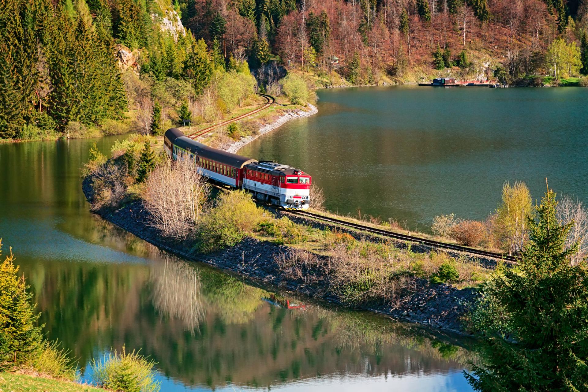
Slovakia’s main airport is in Bratislava, in the southwest of the country. From Bratislava, you can catch a train to Poprad, the gateway city to the High Tatras (this takes around six hours and 30 minutes). Many hikers choose to fly into Krakow, the capital of Poland, and cross the border into Slovakia instead. There are also flights from London Luton and Stansted to Poprad-Tatry Airport, a regional airport serving the High Tatras.
Slovakia has a good public transport system. Many towns in the High Tatras (and Low Tatras) are accessible by train, and the public bus timetable has been arranged to fit in with train schedules. It’s also possible to access lesser visited national parks such as Malá Fatra through a combination of train and public bus. However, some hikers choose to rent a car so they can get a little more off the beaten track.
Inspired? Check out our Adventures in Slovakia, featuring hikes selected and led by experienced local guides.


