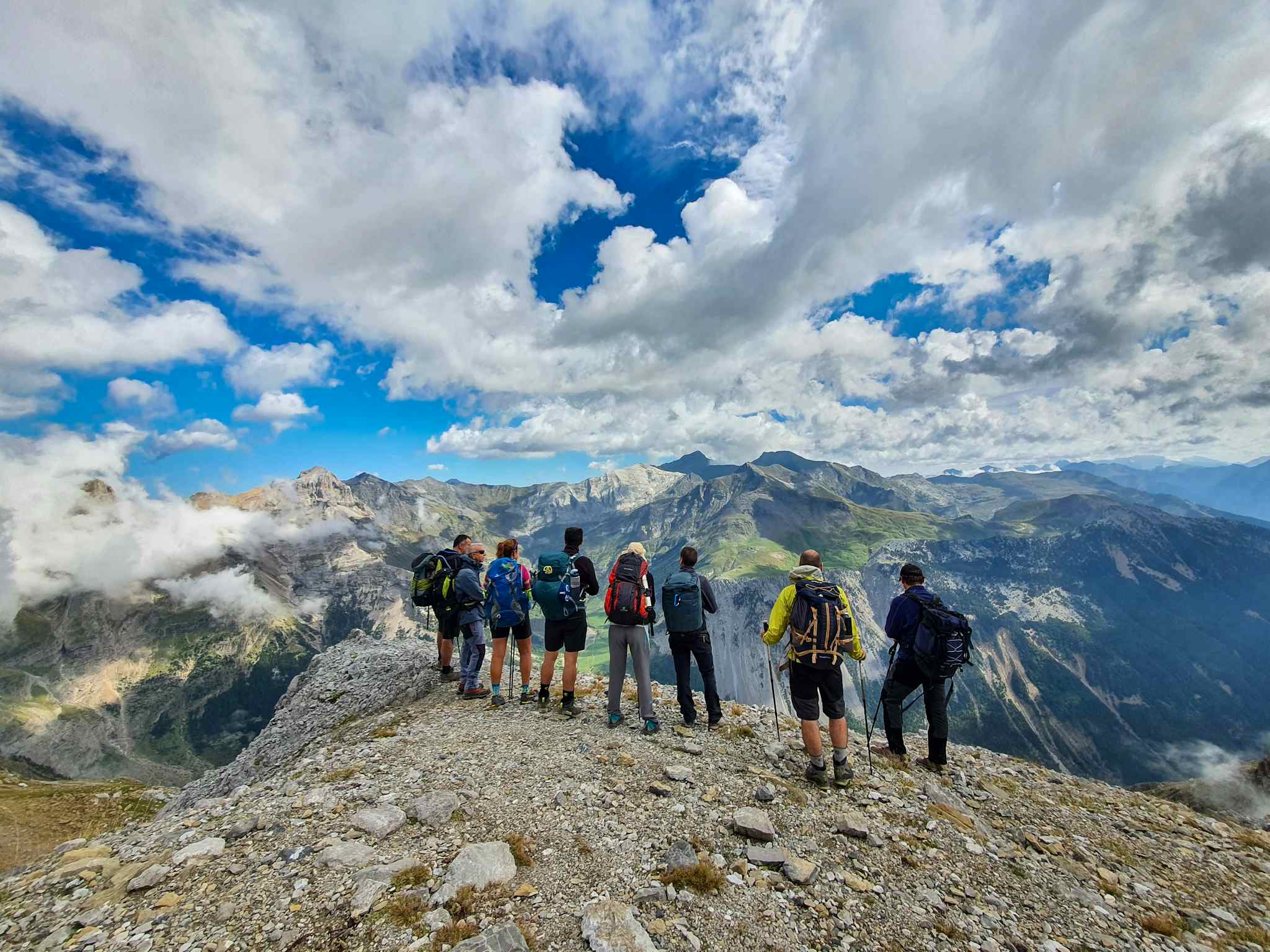
Spain is a hiker’s paradise thanks to its geographical diversity, from the jutting Pyrenees mountains to the rugged coast of the Basque Country and the rolling hills of La Rioja. With 16 national parks, each crisscrossed with hiking trails, the country promises endless opportunities for exploration.
Here, there are mountains in abundance. The snow-capped peaks of the Spanish Pyrenees are perfect for intrepid climbers. But there also are plenty of other peaks to explore, such as Andalusia’s Sierra Nevada, where whitewashed villages cling to craggy slopes, or the Picos de Europa, renowned for its jutting limestone peaks, deep valleys and mirrored lakes.
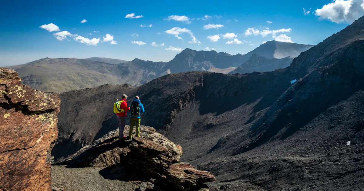
There are many famous hiking trails in Spain, most notably the iconic Camino de Santiago and Caminito del Rey, which draw many visitors. But we prefer getting a little further off the beaten path, to explore some of the country’s remote regions. Our favourite hikes in Spain reflect that, alongside the country’s diverse landscapes.
These are our 10 best hikes in Spain.
- Cares Gorge Trail, Picos de Europa National Park
- Three Peaks of the Tramuntana, Mallorca
- The ‘Wine and Fish Route’, Basque Country
- The Vindios Loop Hike, Picos de Europa
- The ‘High Route of the Lost’, Spanish Pyrenees
- The Camino Primitivo, Asturias and Galicia
- The Flysch Route, Basque Country
- Camí de Cavalls, Menorca
- Carros de Foc, Spanish Pyrenees
- Three Peaks, Sierra Nevada
It’s important to note that these route descriptions are only short summaries, designed to inspire but not to serve any navigational purpose. They are not intended to guide you on the route and further mapping and planning (or, ideally, a local guide) will be required to safely walk any of the trails featured - particularly the multi-day mountain hikes.
Here’s our guide to the best walks in Spain, when to go and where to stay.
The Best Hikes in Spain, Mapped
We've mapped the trailheads of our favourite hikes on this interactive Spain map. You'll notice that many of them are located in the north of Spain, in areas of the Spanish Pyrenees and the Picos de Europa. This is down to our love of mountains - but we hasten to add that there are plenty of hiking trails down south too, especially in the Sierra Nevada of Andalusia. We've listed the best hikes in the Canary Islands separately.
1. Cares Gorge Trail, Picos de Europa National Park
- Start/Finish: Poncebos/Caín de Valdeón (point to point)
- Distance: 6.8 miles (11km)
- Walking time: 3-4 hours
- Difficulty: Moderate
- Best for: An introduction to the Picos de Europa
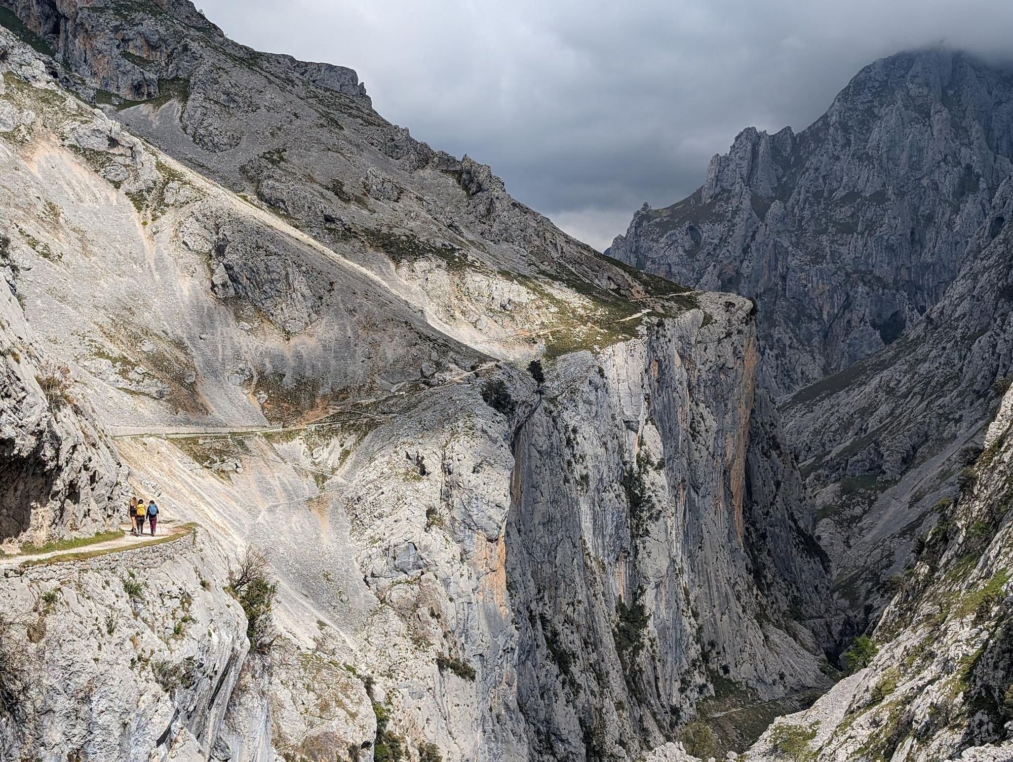
The Ruta del Cares (or Cares Gorge Trail) is one of the most popular day hikes in the Picos de Europa National Park - and for good reason. It begins in Poncebos at around 200m above sea level, overlooked by the jagged 1,339m peak of Ariscu Sonllanu, and follows the Cares River as it winds into the Cares Gorge beneath spiky limestone mountains.

You’ll ascend above the river as the hiking trail winds along the gorge wall, and through natural tunnels in the rock. The trail finishes in Caín de Valdeón, a small village encircled by mountains. Due to the popularity of the hike, there are various public transport options available if you only want to do the hike one way. Double the walking time if you want to do an out and back hike.
2. Three Peaks of the Tramuntana, Mallorca
- Start/Finish: Cuber Reservoir (circular)
- Distance: 9.3 miles (15km)
- Walking time: 5-6 hours
- Difficulty: Challenging
- Best for: Mountain climbing in Mallorca
Mallorca is known as a ‘fly and flop’ destination, but this Balearic island is also an under-the-radar hiking destination. The rugged Serra de Tramuntana mountains are particularly alluring.
“Even I was surprised by the landscape when I first came here,” says Spanish mountain guide José Miguel Real, who leads tours on the island. “No mass tourism, no people - and it’s a mountain range which reaches 1,300m above sea level, so the views across the ocean are incredible; as is the gastronomy.”
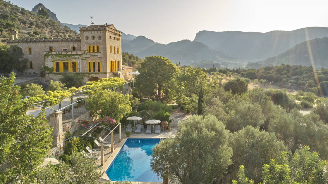
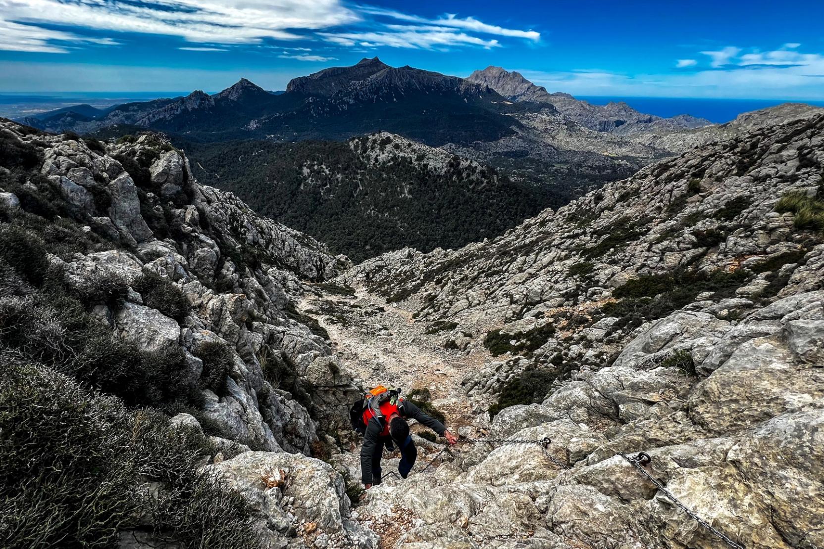
For a full-on day hike, tackle a three peaks challenge in Tramuntana. Begin your ascent from the reservoir to Sa Rateta (1,113m/3,651ft), descending to the Coll des Gats on a steep rocky path. The next peak, Na'Franquesa (1,067m/3,500ft) has views over the lakes below. You’ll hike through pine wood before ascending the final summit, Puig de l'Ofre (1,093m/3,585ft), where you’ll be treated to panoramic views of the island. You’ll descend and return to the reservoir along the GR221 hiking trail.
3. The ‘Wine and Fish Route’, Basque Country
- Start/Finish: Oyón/ Durango (point to point)
- Distance: 103.1 miles (166km)
- Walking time: 6-8 days
- Difficulty: Moderate
- Best for: Crossing the Basque Country
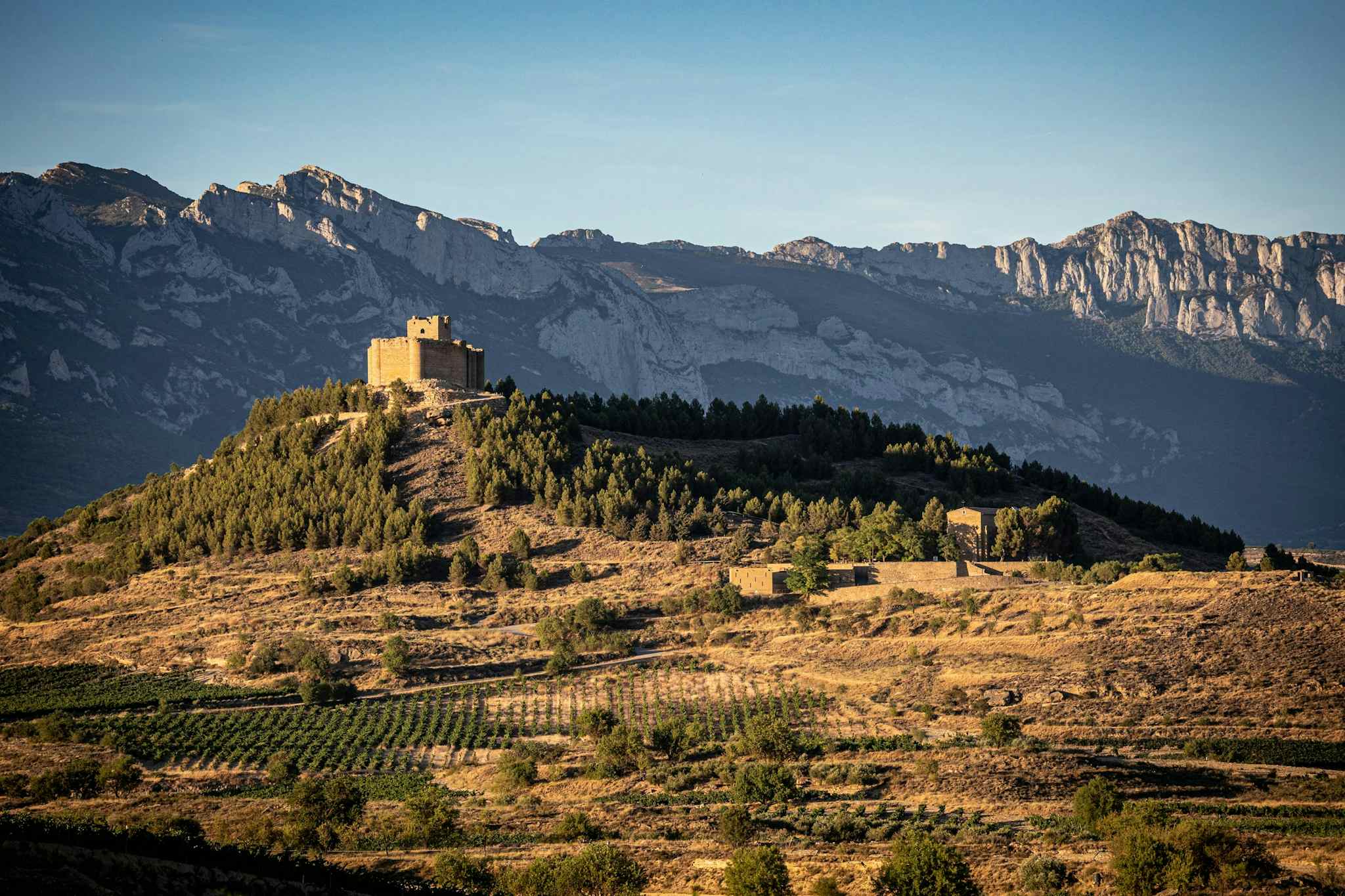
One of the most scenic and historically significant hiking trails through Spain's Basque Country is the 103 mile (166km) GR38 trail, which is divided into seven stages.
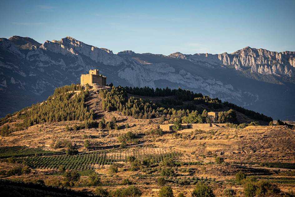
Known as the Wine and Fish Route (‘Ruta del Vino y del Pescado’ in Spanish), the trail begins in the town of Oyón and winds through the vineyards of the Rioja region - known for its wine - before crossing the Cantabrian Mountains. It passes below the huge limestone massif of Urkiola as it winds through forest to the town of Durango, crossing the Mediterranean-Cantabrian watershed on the way.
According to adventure tour operator José Miguel Real, the route follows an ancient mule path. “Basque muleteers transported salted fish to the interior and, on their way back, loaded their mules and carts with wheat, salt, and wine from La Rioja, which the Basques highly appreciated,” he says. “It was challenging work for those muleteers who crossed the mountain passes that separate Vizcaya from the Llanada Alavesa and Castile with their slow ox-drawn carts, along dusty or muddy roads, under the sun or snow.”
4. The Vindios Loop Hike, Picos de Europa
- Start/Finish: Posada de Valdeón
- Distance: 35.6 miles (57.2km)
- Duration: 4 days
- Difficulty: Challenging
- Best for: A deeper immersion in the Picos
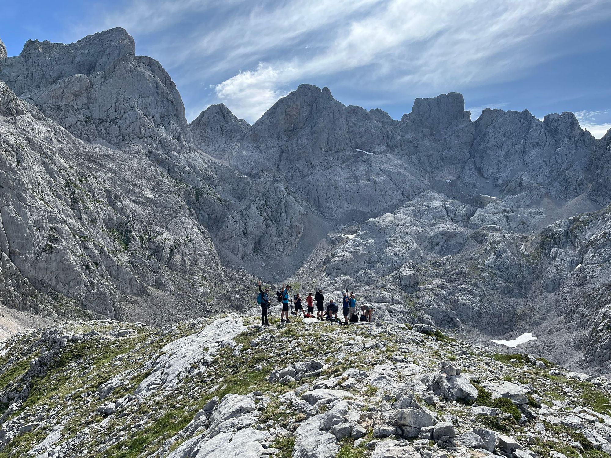
The Picos de Europa National Park straddles three provinces of northern Spain, a living landscape of green foothills, forests inhabited by bears and Iberian wolves and rugged limestone peaks which rival the Dolomites, but see far fewer visitors.
The Vindios Loop is a four day trek through the heart of the Picos’ western massif, linking to rustic mountain huts where you can spend the night. It begins in the picturesque village of Posada de Valdeón, winding through lush meadows and foothills to the Ario Refuge. From here you’ll continue Vegarredonda shelter on a route which isn’t always on a path.
On the third day you’ll climb up onto the limestone massif, before descending through tranquil beech forest to Vegabaño refuge, and on the final day you’ll return to your start point of Posada de Valdeón.
5. The ‘High Route of the Lost’, Spanish Pyrenees
- Start/Finish: Bujaruelo Mountain Hut
- Distance: 58.1 miles/ 93.6km
- Walking time: 6 days
- Difficulty: Challenging
- Best for: hut to hut trekking in the Spanish Pyrenees
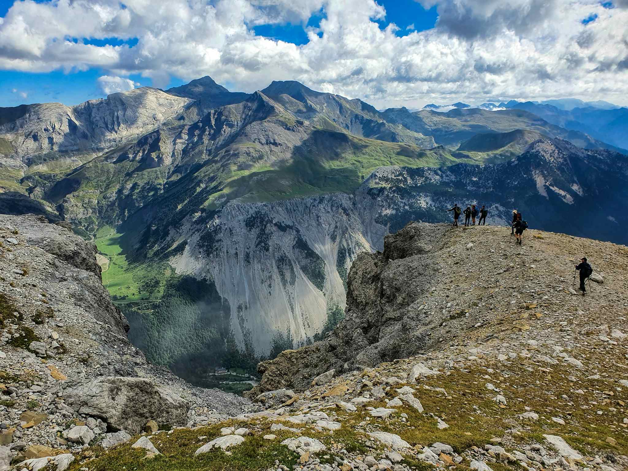
The High Route of the Lost (Perdidos Alta Ruta) is a challenging circular hike through the Spanish Pyrenees, beginning and ending at Bujaruelo Mountain Hut. You’ll follow the GR11 trail markings over mountain passes and over the Planas de Narciso, a grassy plain studded with limestone boulders, climbing up to the Collado Superior de Góriz. At this point you’ll leave the GR11 and head through the Fajas de las Olas, a limestone cliff, aided by chains in the mountain.

From Pineta Mountain Hut you’ll cross the Monte Perdido Glacier - which might require the use of crampons and ice axes in winter in certain places - before climbing the steep Tucarro Gap to Espuguettes Refuge. From here, you’ll descend to the imposing Cirque de Gavarnie, a natural limestone amphitheatre, before hiking through forest to the Ossoue Valley. After a final ascent to the Oulèttes Refuge, you’ll return to Bujaruelo via a gentle path through the Ara Valley.
6. The Camino Primitivo, Asturias and Galicia
- Start/Finish: Oviedo/ Santiago de Compostela
- Distance: 199.4 miles/ 321km
- Walking time: 12-14 days
- Difficulty: Challenging
- Best for: A quiet, challenging section of the Camino
The Camino de Santiago is a network of pilgrimage paths stretching across France, Spain and Portugal, and ultimately ending in Santiago. One of the most popular is the Camino Francés, but we recommend tackling the Camino Primitivo. This is one of the toughest camino routes, thanks to its steep ascents and descents and is so-named because it was the original pilgrimage route, first walked by King Alfonso II in the 9th century.
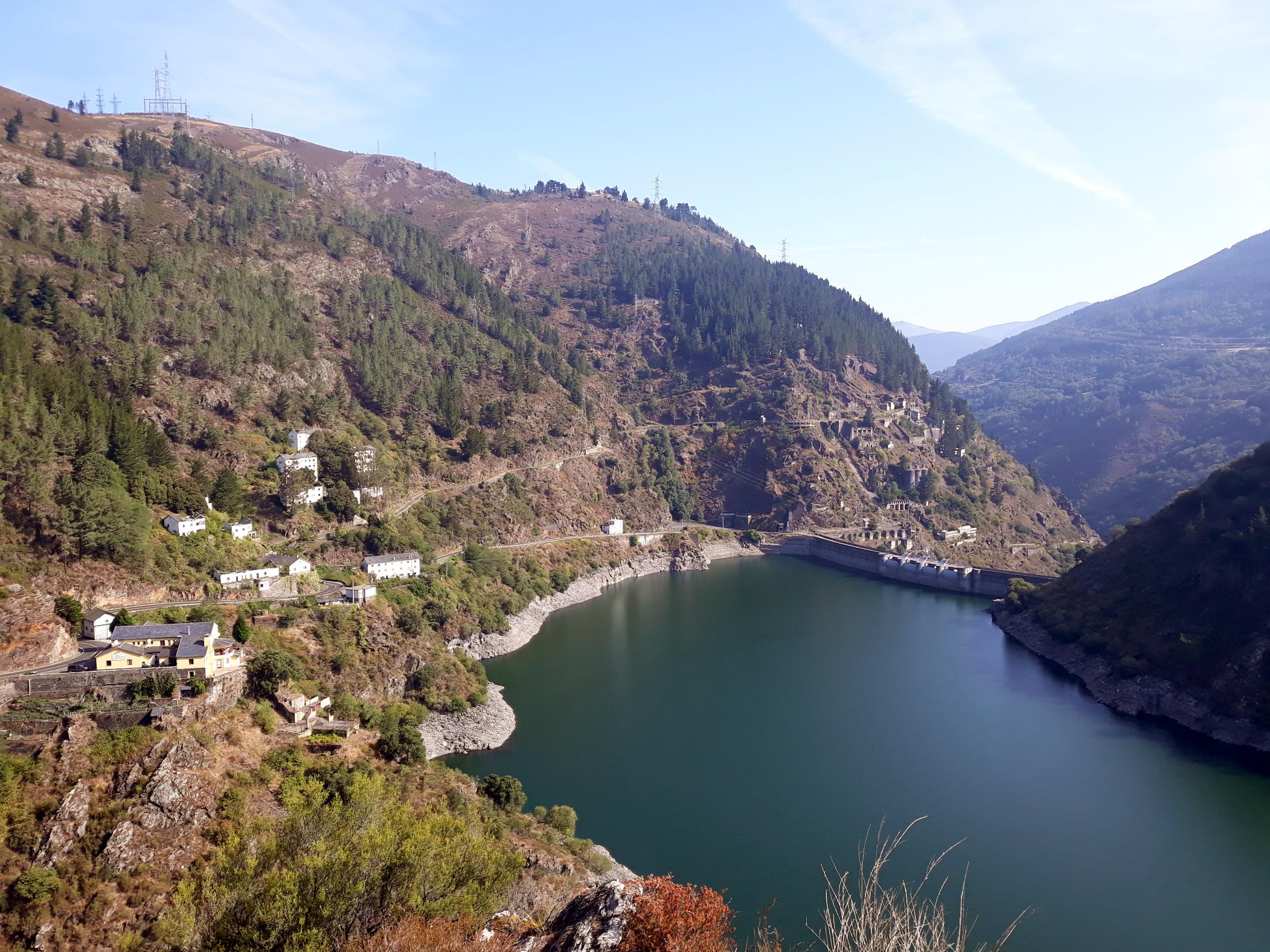
Beginning at Oviedo Cathedral, the route winds up and down across verdant hills and through historic villages as you head east. The most difficult stage is the fifth, which begins in Pola de Allande and ascends to the village of Puerto del Palo, at an elevation of 1,446 m (4,744ft) and surrounded by the Lugo Mountains, before descending to La Mesa. You’ll leave Asturias and enter Galicia, where you’ll pass through hilltop forests and catch glimpses of the serene Embalse de Salime, a large dam.
The last two days of your hike will be spent walking the Camino Francés. This is a much busier part of the route, but it gives you a chance to experience the camaraderie of being on the trail with other hikers. You’ll finish in Santiago de Compostela, said to be the resting place of the apostle James - take some time to explore the UNESCO designated old town.
7. The Flysch Route, Basque Country
- Start/Finish: Zumaia/Deba (point to point)
- Distance: 9.3 miles/15km
- Walking time: 4-5 hours
- Difficulty: Moderate
- Best for: Rugged coastal scenery
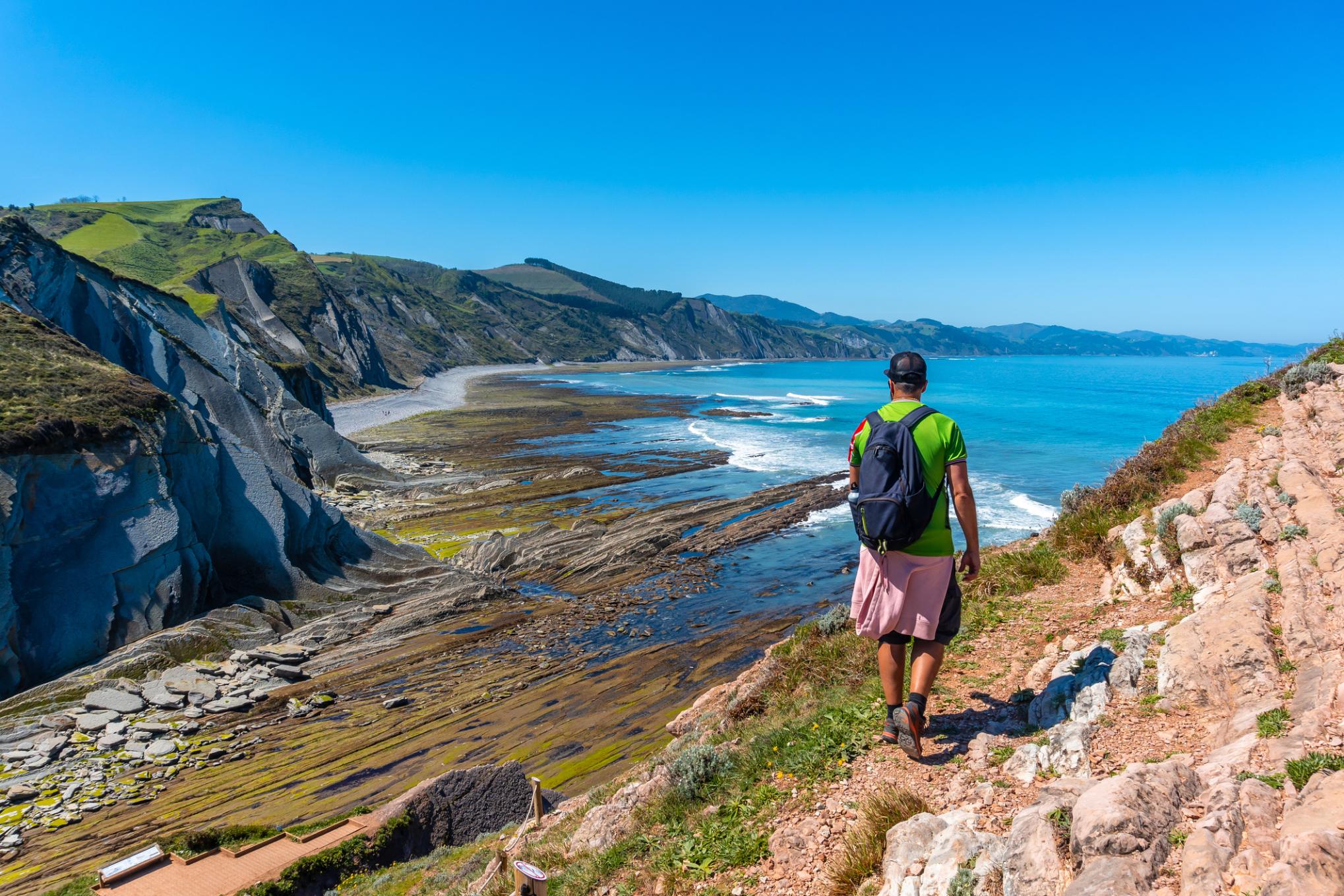
The Flysch Route in the Basque Country is a coastal trail that runs between the towns of Zumaia and Deba through the Basque Coast UNESCO Global Geopark. It takes you along dramatic cliffs where you can see layers of striated rock formations known as flysch, which reveal millions of years of Earth's geological history.

You’ll begin in Zumaia and climb down to Itzurun Beach (famous as the filming location for Dragonstone Beach in Game of Thrones) with its steep striated cliffs. From here you’ll hike across the beach for a few kilometres, before climbing back up onto the path above the cliffs. Elorriaga has one of the best ocean views of the route. You’ll continue to Sakoneta where you’ll descend to the beach for another glimpse of the flysch. The route terminates at Deba, where there’s a fine sandy beach to take a dip.
8. Camí de Cavalls, Menorca
- Start/Finish: Maó (circular)
- Distance: 115 miles (185km)
- Walking time: 8-10 days
- Difficulty: Moderate
- Best for: Circumnavigating Menorca
Camí de Cavalls means the ‘Horse Path’ - it was created in the 14th Century, when the knights of Menorca were ordered by the King to patrol the coast on horseback and defend the island. It’s recently been reopened as a public route for hiking, horse riding and mountain biking.
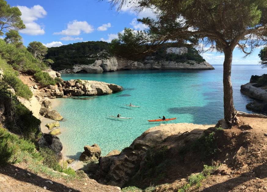
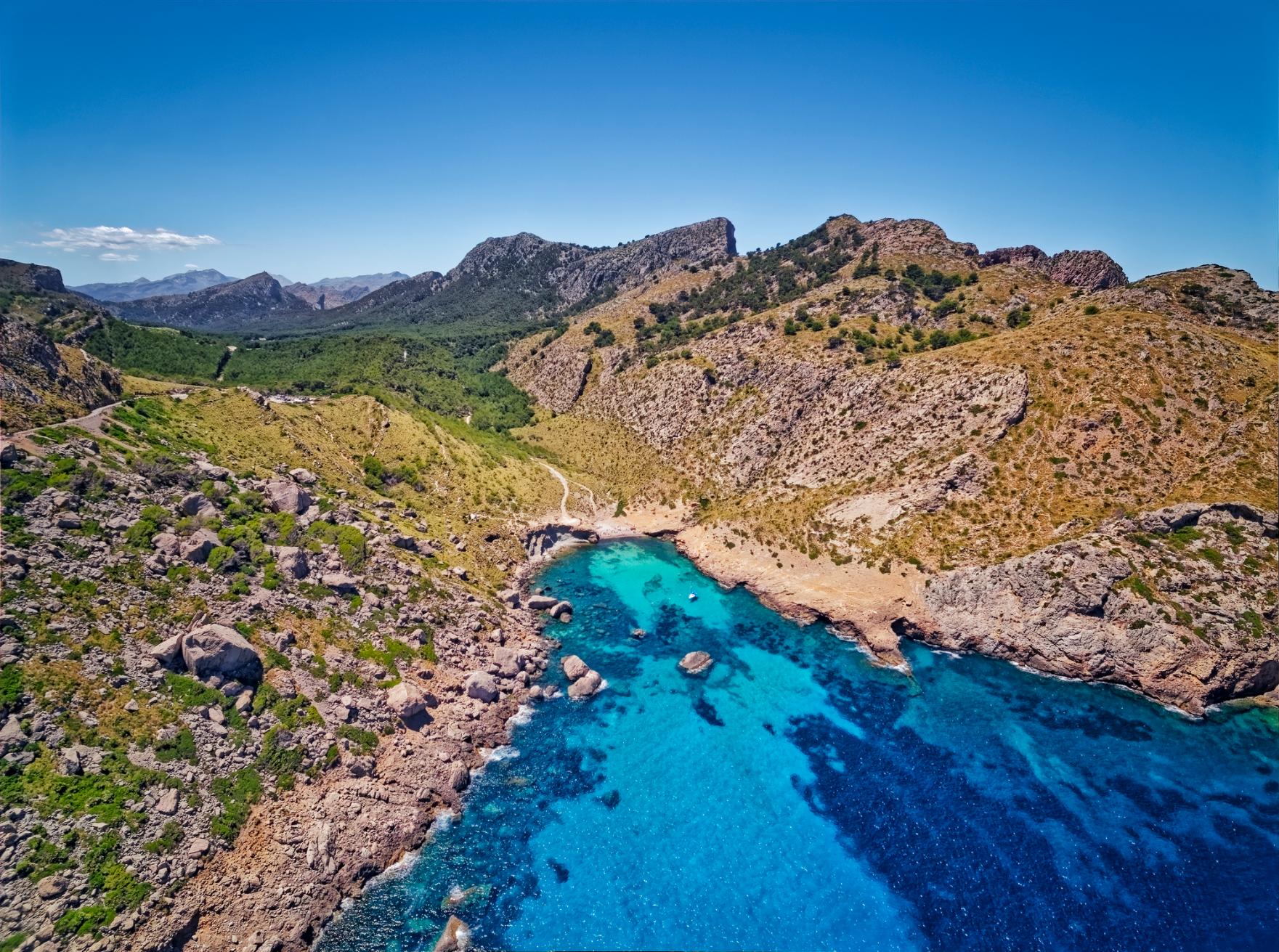
Beginning in Maó (also known as Mahon), you’ll cross the Albufera des Grau Natural Park, a biodiverse wetland, and agricultural land to reach Cap de Favàritx, a lighthouse perching on a rocky headland. You’ll pass unspoilt coastline, and can stop to swim at beaches such as the horseshoe shaped Cala Tirant and Cala Pregonda, with its yellow-tinted volcanic rocks. It also passes through the Tramuntana Coast, where rocky mountains plummet down to the dazzling ocean below.
Hiking the Camí de Cavalls in its entirety takes between eight to 10 days, but it’s also possible to do sections as a day hike, stopping for ocean dips along the way.
9. Carros de Foc, Spanish Pyrenees
- Start/Finish: Espot
- Distance: 34 miles/ 54.7km
- Walking time: 3-5 days
- Difficulty: Challenging
- Best for: Pyrenean scenery
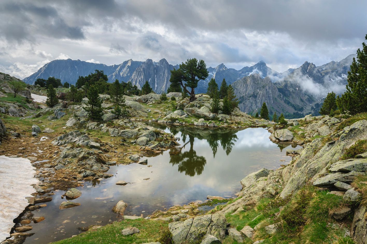
Carros de Foc (or Chariots of Fire) is one of our favourite hikes in the Pyrenees, a circular path taking you through the landscape of Aigüestortes i Estany de Sant Maurici National Park and connecting nine mountain refuges. You have the freedom to walk in any direction you want, and can choose which refuges to stop at, based on availability.

One option is to begin at Espot, and follow the trail along the Peguera River. You’ll pass through an alpine landscape of meadows, pine forests, lakes and soaring mountains. Break for the first night at the gorgeous Refuge Joan Maria Blanc, located on a spit of land jutting into a crystalline lake.
The next day is the hardest climb of the route, to Coll de Monestero, the highest mountain (2,715m/8,907ft). The climb is steep and the view spectacular - endless lakes on one side and a sweeping panorama of the Catalan Pyrenees on the other. As you descend back to Espot, the landscape changes from rocky peaks to dense forests and wildflower meadows. Done like this, the route takes four days to complete, but you could easily stretch it out over an extra day or two.
10. Three Peaks, Sierra Nevada
- Start/Finish: Capileira
- Distance: 40 miles/ 60.3km
- Walking time: 4 days
- Difficulty: Challenging
- Best for: Exploring the Sierra Nevada
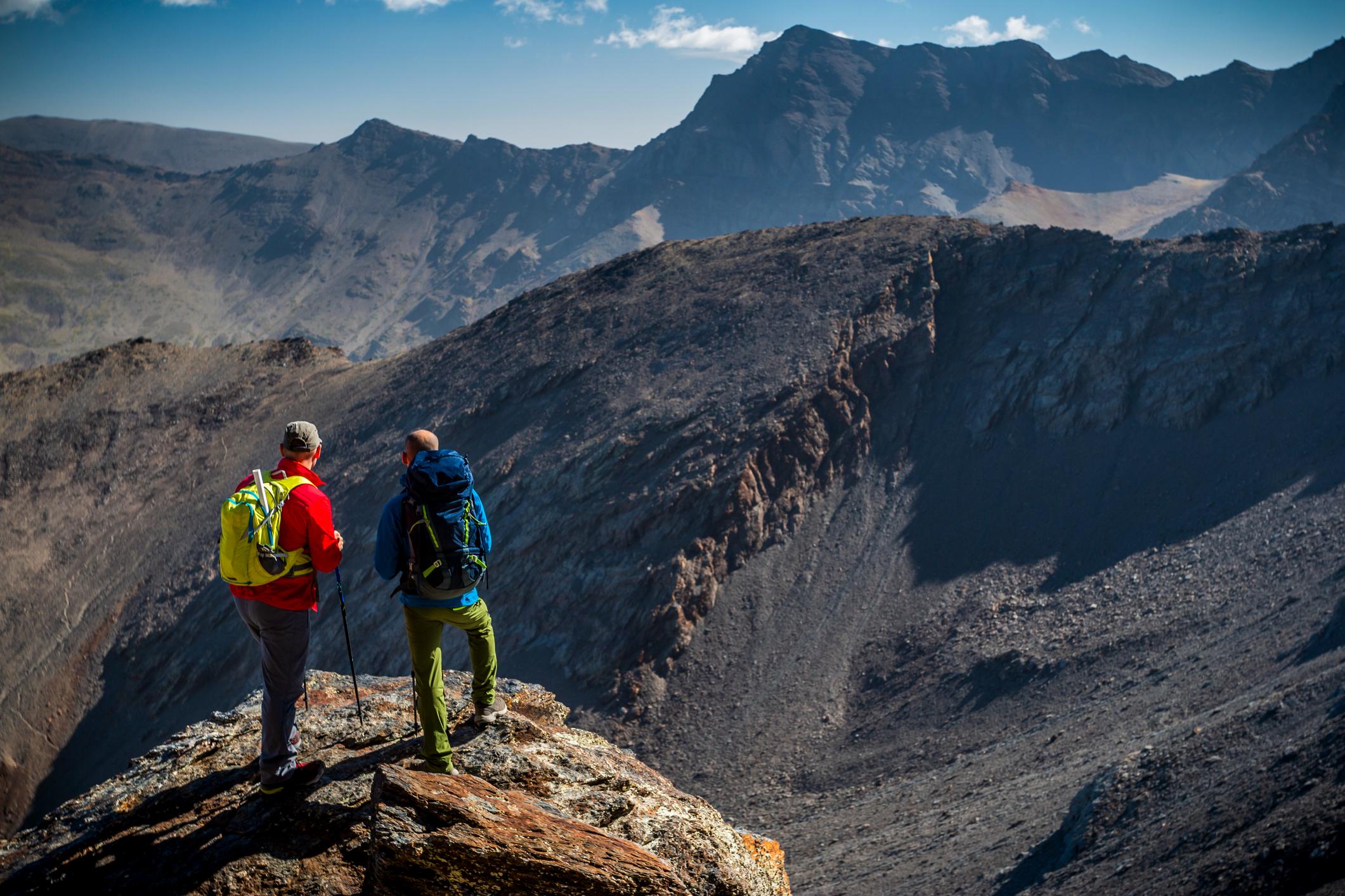
Challenge yourself to Spain’s Three Peaks Challenge, which takes you up the loftiest peaks in the remote Sierra Nevada range - Mount Mulhacén (3,482m/11,423ft), La Alcazaba (3,369m/11,053ft) and Mount Veleta (3,395m/11,138ft).
Starting off in the whitewashed village of Capileira, you’ll scramble up to the Poqueira Refuge, a mountain hut where you’ll stay for the duration of the climb. Day two is when you’ll tackle the highest peak, Mount Mulhacén, known for its craggy appearance - it’s the roof of the Iberian Peninsula. As you descend the western flank, you’ll pass wetlands and the Laguna de Caldera.
Next up is La Alcazaba, which you’ll reach via the 7 Lagunas Trail, a circular route taking in seven lakes surrounded by meadows (they’re frozen most of the year). There’s a bit of a scramble to the summit but the views make it worthwhile! The final peak of Mt Veleta will take you through moonscape valleys, and offer up an amazing view of the blue waters of the Mediterranean, and the city of Granada. Head there after your trek for a rewarding tapas meal.
When is the Best Time to Go Hiking in Spain?
The best time to go hiking in Spain largely depends on the region you're visiting, as there are significant climatic differences across the country.
Spring (from March to May) is an ideal time for hiking in most regions of Spain. In Andalusia and the Balearic Islands, temperatures average between 22°C and 25°C - and the summer crowds have yet to arrive. In northern areas like the Pyrenees and Picos de Europa, the countryside is lush and green, although weather in the north can be unpredictable with occasional rain. In mountainous areas, there may still be snow on the trails.
Spring (from March to May) is an ideal time for hiking in most regions of Spain.
Summer (June to August) is the perfect season for high-altitude hikes in the Pyrenees, Sierra Nevada, and Picos de Europa, as the snow has melted and trails are fully accessible. However, southern Spain and lower altitudes can be extremely hot, and hiking during the midday hours is inadvisable. Popular trails such as the Camino can be crowded, particularly in July and August.
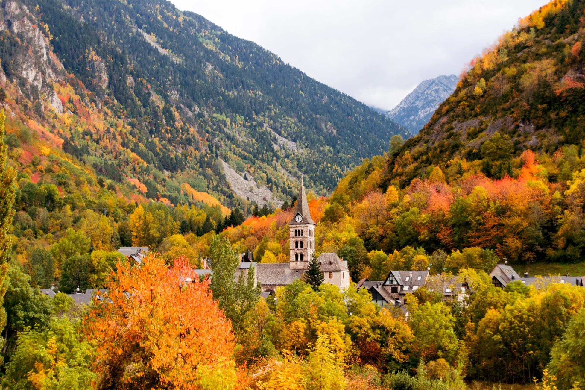
Autumn colours create stunning landscapes in Spain, particularly in regions like the Basque Country and Galicia. This is arguably the best time to hike in La Rioja region, as the grape harvest takes place in September, and is accompanied by tastings and celebrations. The trails are less crowded than in the peak summer months, but the weather becomes more unpredictable as the season progresses, with more frequent rain in some areas.
The winter season (December through February) is a good time to visit otherwise hot regions such as Andalusia, as well as for hiking in the Canary Islands, which are sunny year-round. In mountainous areas like the Pyrenees and Sierra Nevada, you’ll have a chance to explore snow covered landscapes - however, some high altitude areas might be inaccessible due to snow.
In summary, we’d recommend the best times to go hiking in Spain to be spring and autumn, aside from high-altitude mountainous areas, which we would recommend visiting between June to September.
What Animals Live in Spain?
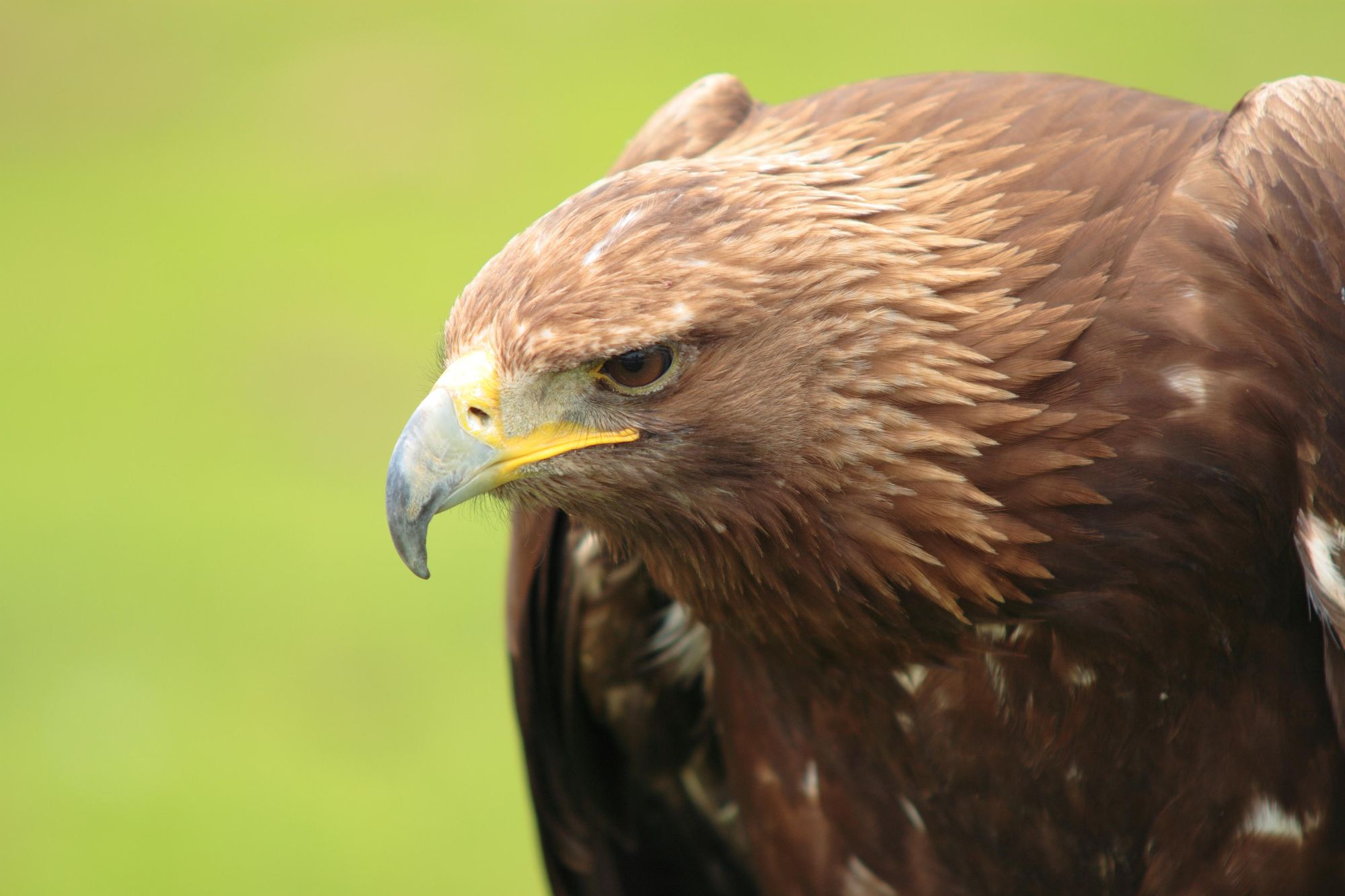
Spain is home to a diverse range of animals, thanks to its varied landscapes. One of the most iconic and endangered species in Spain is the Iberian Lynx, known for its spotted coat and large tufted ears; you’ll mainly find it in the southern regions. Brown bears inhabit the Cantabrian mountains, while a dwindling number of Eurasian wolves can be found in the northwestern regions of Spain.
The Spanish Ibex is a goat with impressively curved horns, found in the mountains of Spain, in particular the Pyrenees. Spain also has rich bird life, including Griffon vultures and the endangered Spanish imperial eagle, the largest number of which can be found in the region of Extremadura. The seas surrounding Spain are rich in marine life, including Mediterranean monk seals.
Where to Stay in Spain?
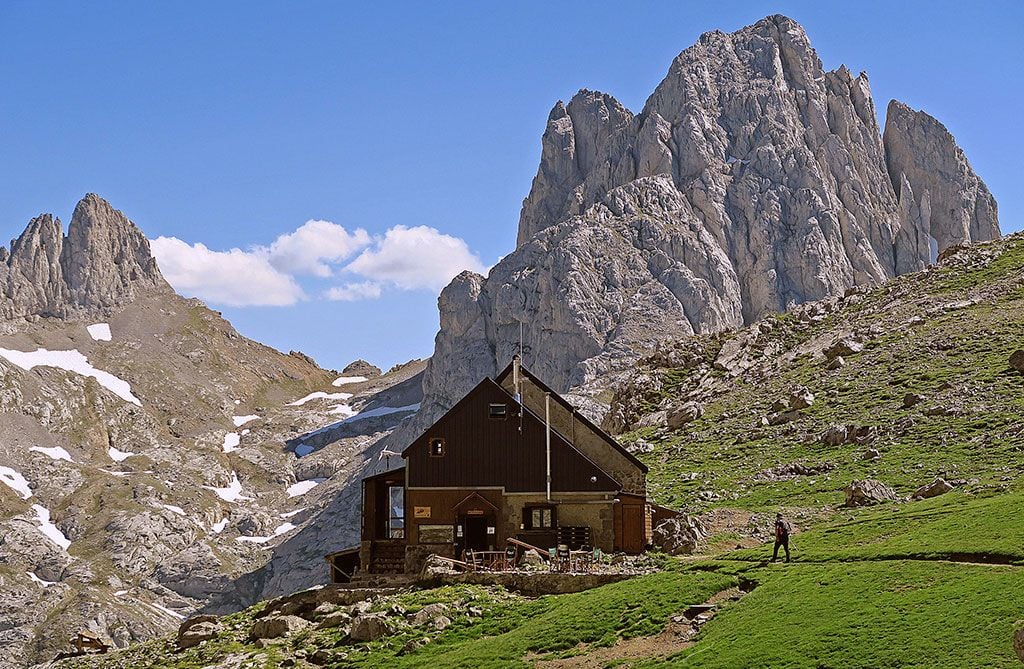
If you’re hiking in Spain, there are numerous different accommodation options available to you. In the Basque Country, we recommend staying in one of the boutique hotels cum wineries in La Rioja region - such as Eguren Ugarte Hotel & Winery, renowned for its vineyards and underground wine cellar. There are also plenty of agriturismos in rural Spain, where you can sample home grown vegetables and other regional delicacies.
Accommodation options are more limited in remote mountain areas such as the Pyrenees or the Picos de Europa. Here, you can stay in campsites or mountain refuges, where you’ll sleep in dormitories and enjoy rustic traditional fare after a hard day’s hiking.
What to Eat in Spain

Spain is a popular destination for foodies, with numerous world-renowned dishes and lesser known (but equally delicious) regional delicacies. Paella is a famous saffron-infused rice dish which originated in the Valencia region. Traditionally it was made with chicken, rabbit and sometimes snails - there are now more than 200 variations, with chorizo and seafood being popular additions. Churros con chocolate are fried dough sticks sprinkled with cinnamon sugar which are a popular breakfast dish. And gazpacho, a cold soup made of tomatoes, cucumbers, pepper and garlic, is a refreshing choice for summer.
Then, of course, there’s tapas; small sharing plates often eaten with drinks. These include creamy croquetas spiked with ham or mushrooms, patatas bravas (fried potatoes served with tomato sauce and aioli) and salty padron peppers. Tapas is often served with cheese and cured meats; jamón Ibérico is a particular delicacy. In the Basque Country you’re more likely to find pintxos, which are small snacks held in place by a toothpick on a piece of bread. Wash it all down with one of the renowned wines from Spain’s Rioja region, or a glass of sweet strong cider from Asturias.
How to Get to (and Around) Spain
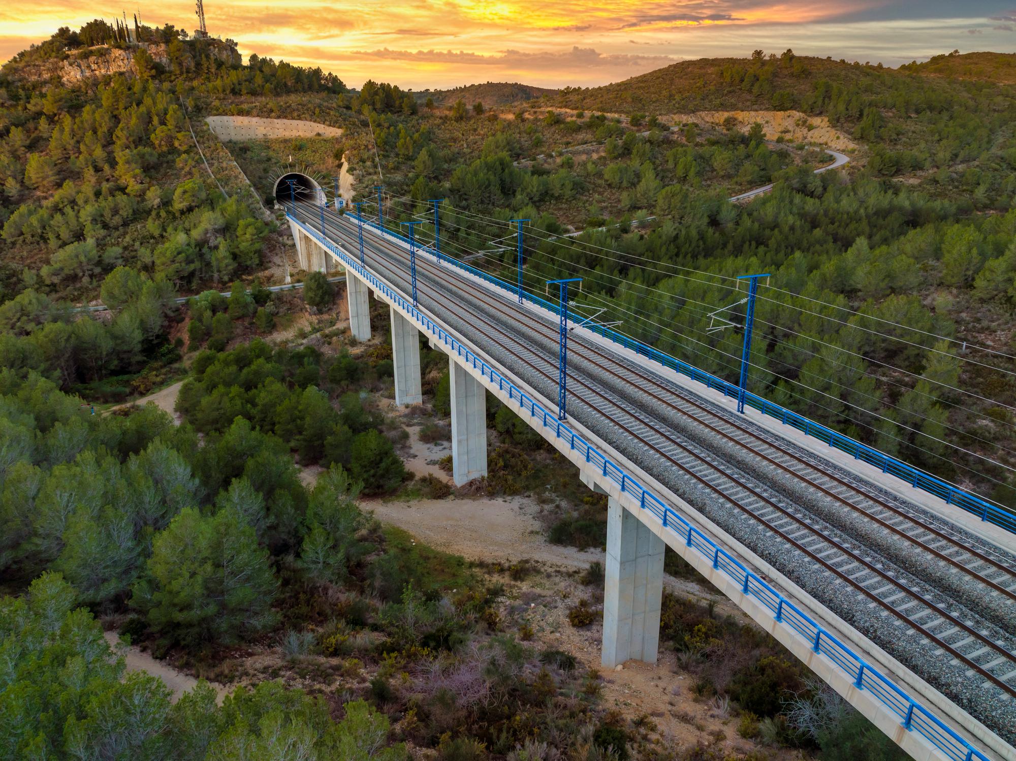
By plane: Spain has 59 international airports, so it’s easy to reach by plane. For the Basque Country, Pyrenees or Picos de Europa, we recommend flying into Bilbao Airport. For hiking in Andalusia or the Sierra Nevada, fly into Granada Airport.
By train: Spain has a convenient and affordable train network running across the country, the vast majority of which are run by national company Renfe. The fastest trains, running between major cities, are known as AVE (Alta Velocidad Española), and there are also slower regional services. It’s also possible to travel to Spain from other European countries - there are good high speed connections from France, in particular.
By bus: Travelling by bus allows you to reach destinations that aren’t serviced by the train network. There are plenty of bus operators in Spain, the largest of which is ALSA, and you’ll also find seasonal shuttle bus services within popular hiking areas, such as the Spanish Pyrenees.
Read More:
- 10 of the Best Hikes in the Canary Islands
- The 166km 'Wine and Fish' Hiking Trail Through Spain's La Rioja region
- A Guide to the Ruta del Cares Hike in the Picos de Europa
Feeling Inspired? Check out our range hiking adventures in Spain and other Spanish adventures.


