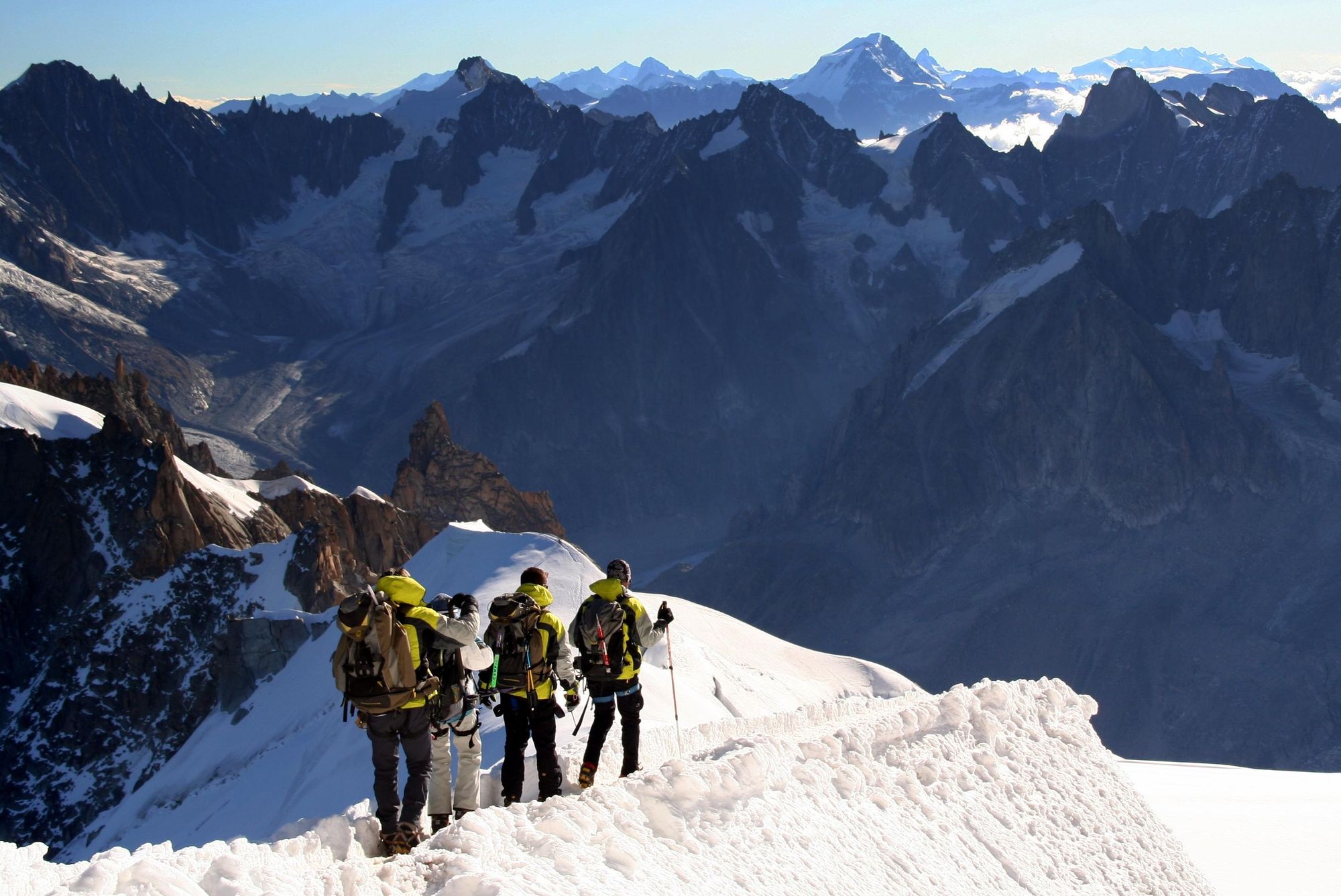
It is perhaps not until you consider the question of the best hikes in France that you realise how truly diverse this storied nation really is. The French Alps are the home of western Europe’s highest peak, Mont Blanc. It was on that summit that the French laid down the foundations for modern mountaineering, and in bustling mountain towns like Chamonix, they continue to push the boundaries of what is possible in the mountains.
Legendary routes like the Tour du Mont Blanc and the Walker’s Haute Route begin in Chamonix and criss-cross the borders of surrounding countries - both entering Switzerland and the former also venturing through Italy. In the Pyrenees, a sublime mountain range in southwest France, there are routes which do the same on the Franco-Spanish border. There is as much walking as there is wine (well, almost) in the rolling hills to the south of the country, while the northern coast is home to the white chalk coastlines of Normandy.
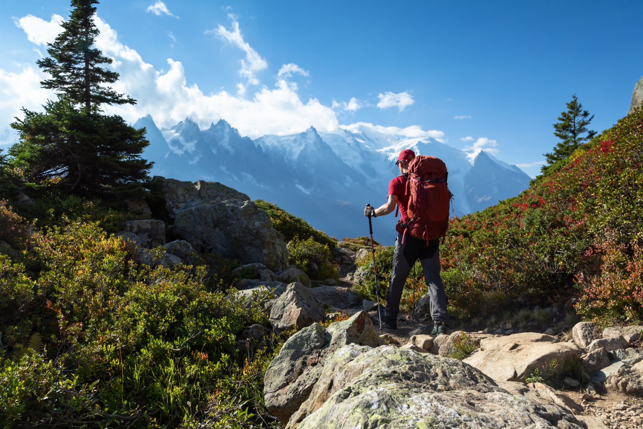
France is also a country that continues beyond the mainland, and two of the routes we've selected for this list are on islands - Corsica and La Réunion.
While picking out just 10 of our favourite hikes in France was tough, finding a waymarked walking route in the country certainly is not. The Chemins de Grandes Randonnées (GR) routes see to that. Translating as “long-distance hiking trails”, there are hundreds of GR routes in France - multi-day hikes which are maintained by the national authorities. They’re well waymarked and documented. Several GR routes feature in our list of the best walks in France:
- Tour du Mont Blanc, Alps
- The GR20, Corsica (GR20)
- Tour of the Vignemale, French Pyrenees
- Tour des Glaciers de la Vanoise
- Climb Mont Blanc (4,805m), Alps
- The Blanc-Martel Trail, Verdon Gorge
- Robert Louis Stevenson Trail, Cévennes (GR70)
- Argentière to Trient, Alps
- The Cliff Trail, Côte d'Albâtre, Normandy (GR21)
- The Grande Traversée, La Réunion (GR-R2)
Below, we’ve noted the start and finish of each of these hikes, as well as the distance, duration, difficulty and a synopsis of why to walk each route.
The Best Hikes in France: Mapped
On this map we’ve marked the rough starting point of each of the walking routes we’ve selected, to give you the rough idea of their placement in the country. You may notice that one hike is a little further from Paris than the rest.
10 of the Best Hikes in France
1. Tour du Mont Blanc, Alps
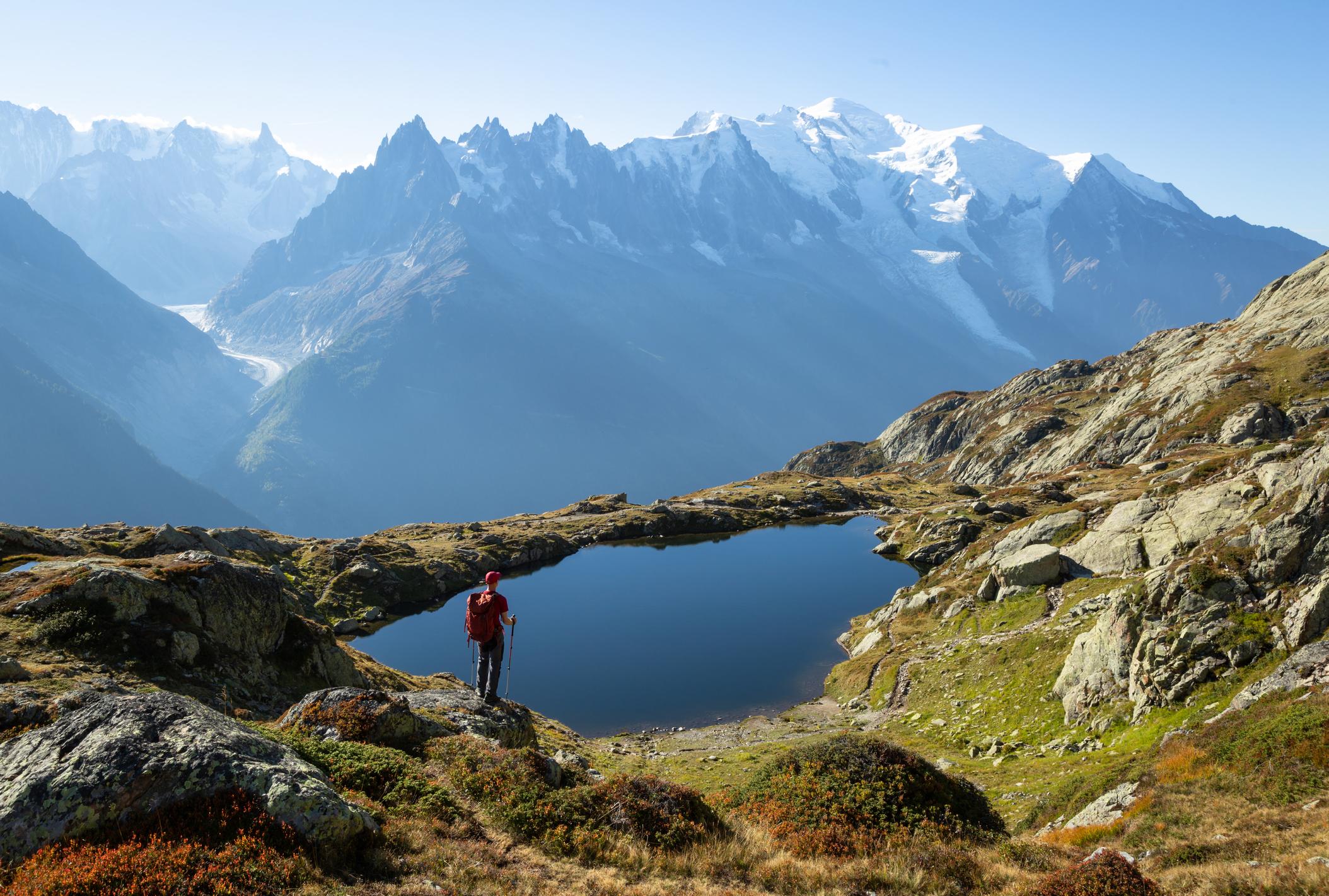
- Start/Finish: Les Houches
- Distance: 103 miles (166km)
- Duration: 7-11 days
- Difficulty: Challenging
- Best for: A legendary alpine tour
The Tour du Mont Blanc is an 105-mile (170km) route which circumnavigates the eponymous Mont Blanc. It runs through France, Italy and Switzerland.
This is one of the best-known hikes in France and indeed the world - for good reason too. It’s a route of open, exposed trails, where you can expect to see strolling ibex with their dramatic, curling horns, circling eagles up above, huge mountain and valley views and stay in wonderful mountain refuges.
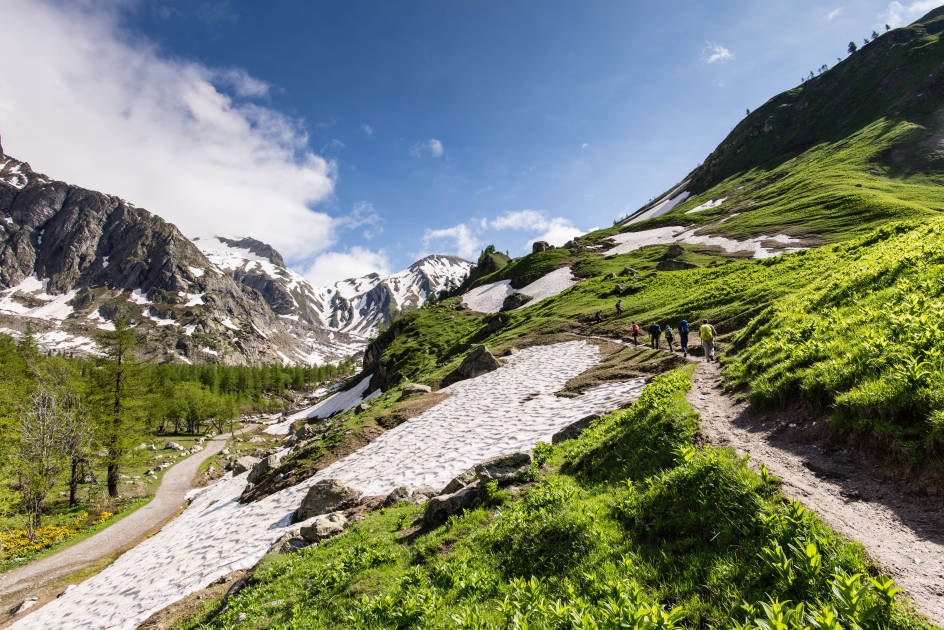
The tour roughly follows the circle of Mont Blanc first made by Swiss geologist Horace-Bénédict de Saussure in the 1700s (while looking for the best way to ascend to the summit of the mountain). The start point is in Les Houches, a small town at the entrance to the Chamonix Valley. You’ll cross the French-Italian border on stage three, pass into Switzerland via Val Ferret and the Grand Col Ferret a few days later, and enter back into France, traversing the Aiguille du Midi, before finishing.
It’s tough to pick just one highlight here, but perhaps it would be the final leg. It sees you reach the pristine Lac Blanc, a turquoise lake at 2,352m (7,716ft), which looks onto a remarkable skyline of serrated mountains, including Mont Blanc.
Read more: A Beginner's Guide to the Tour du Mont Blanc
2. The GR20, Corsica
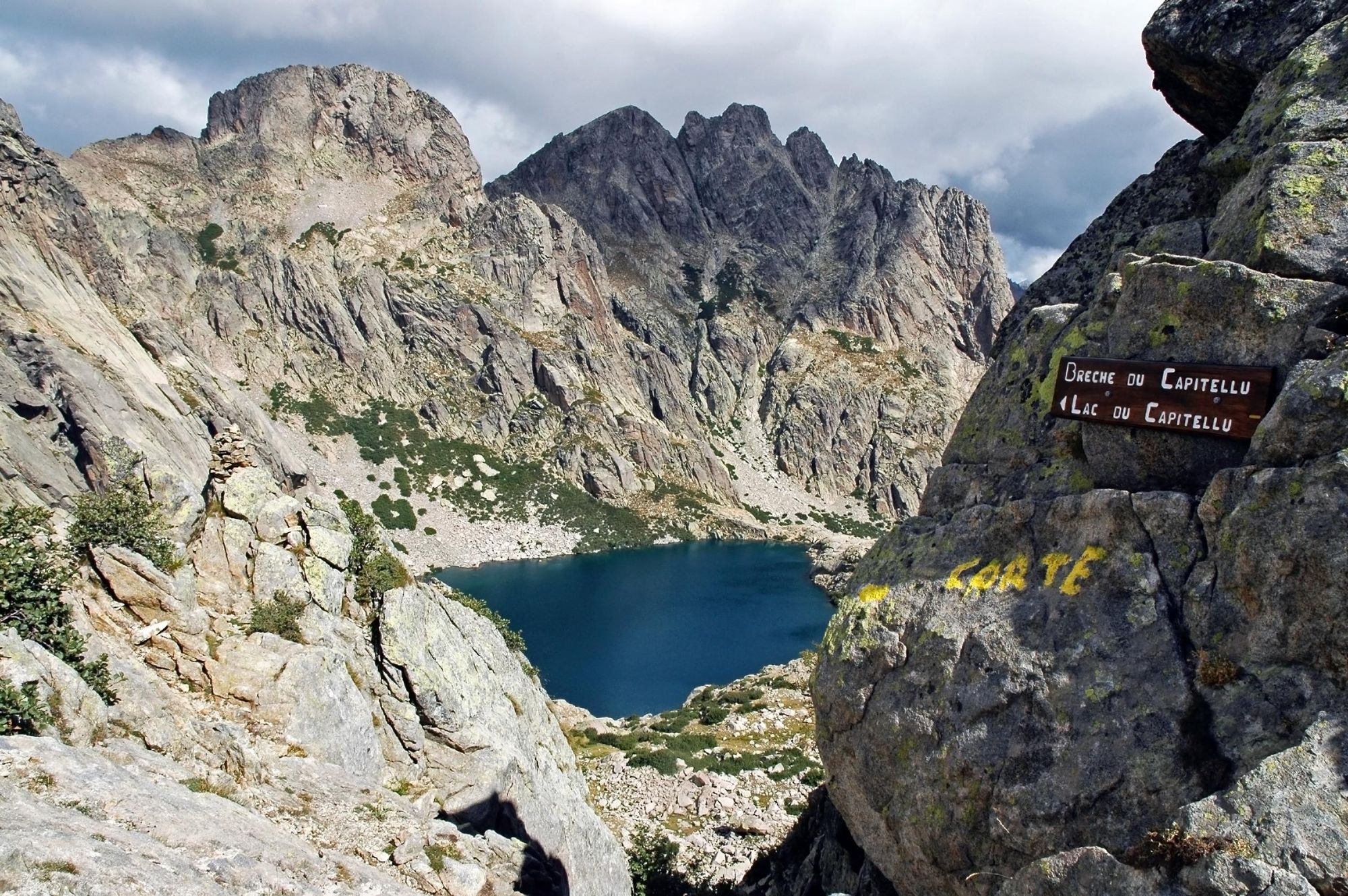
- Start/Finish: Calenzana/Conca
- Distance: 112 miles (180km)
- Duration: approx. 15 days
- Difficulty: Challenging
- Best for: The toughest trek in France
The GR20 is a legendary route across Corsica, a mountainous island which sits 105 miles (170km) southeast of mainland France. It is routinely described as the toughest hike not just in France, but in all of Europe, owing to the rough, rugged terrain, extreme temperatures and the lack of water readily available en route.
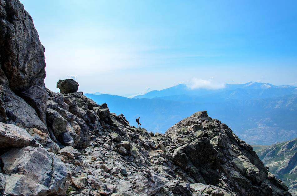
The path itself runs between the communes of Calenzana to Conca, from the north to the south of Corsica - through the sublime, mountainous centre of the island. It is waymarked by red and white signage. From stage one of the GR20 you’ll find both big mountains and stunning ocean views. What follows is steep cliffs, demanding mountain faces and a lot of ascent. When you crosses the pass of Monte Cinto on stage four, you're at the highest point of the GR20 (and if you ascend it, you're on top of the island).
The route does occasionally relent, but it never gets easy. The views are the reward - the natural amphitheatres, glimmering lakes and awesome rock faces.
Read more: A Guide to the 15 Stages of the GR20 in Corsica
3. Tour of the Vignemale, French Pyrenees
- Start/Finish: Oulettes de Gaube Hut (circular)
- Distance: 31 miles (50km)
- Duration: 3 days
- Difficulty: Challenging
- Best for: A high-altitude tour combining France and Spain
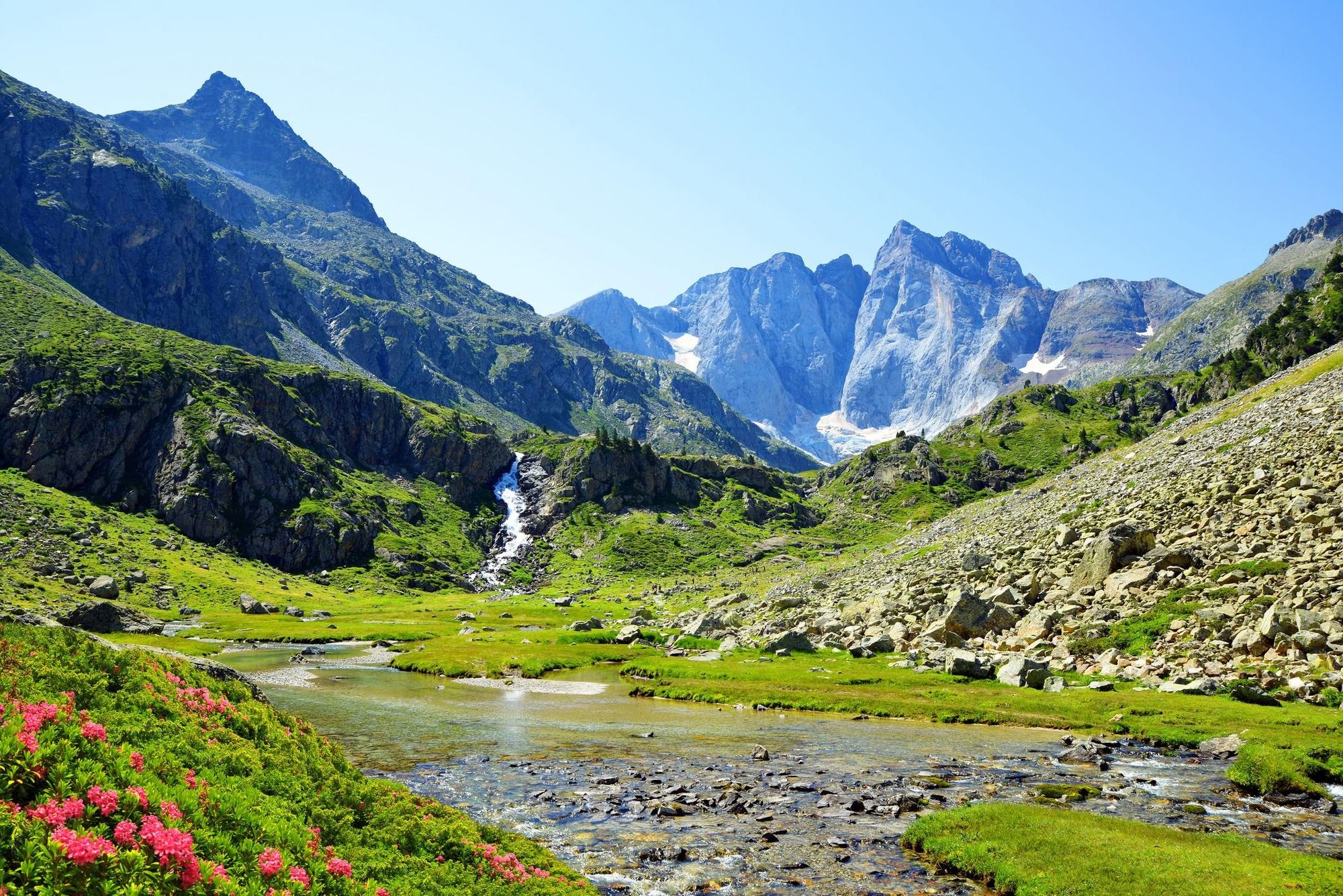
This route is a high-altitude tour of the highest summit of the French Pyrenees - the Vignemale, 3,298m (10,820ft).
Now, most of this route is in France, but one stage takes place in Spain. Many who do this hike actually start and finish the route at the Bujaruelo Hut in Spain, but since it is a circular - and this is a list of the best hikes in France - we've opted to begin at the Oulettes de Gaube Hut instead. This is reached by a three-hour, 5 mile (8km) hike from the Pont d'Espagne which can be made shorter still by taking a cable car up to Lac de Gaube.
The Oulettes de Gaube Hut is planted in a remarkable location up at 2,150m (7,053ft), with a jaw-dropping view out over the sharp, dramatic Vignemale massif and the green valley below it, punctuated with streams.
You’ll reach the Bellevue Caves (also called the Russell Caves), which are a group of seven caves cut into the stone by the renowned mountaineer Count Henry Russell…
Leaving the hut, the route climbs up to the Hourquette d’Ossoue pass at 2,734m (8,969ft), where you’ll often find snow. On your descent, you’ll pass the highest mountain refuge in the Pyrenees, the Bayssellance refuge. You’ll reach the Bellevue Caves, which are a group of seven caves cut into the stone by the renowned mountaineer Count Henry Russell between 1991 and 1893. He created them as a holiday spot and shelter. You'll then pass the glimmering Lake Ossoue en route to Grange de Holle refuge.
Stage two runs over the Spanish border to the Bujaruelo Hut, with great views of the Cirque de Gavarnie, a natural amphitheatre with UNESCO World Heritage status. Here, high, rugged mountains rise high up above green forests and fields.
Stage three of the route then takes you back to the Oulettes de Gaube Hut on a long, steady uphill. You’ll ascend 1,836m (4,550ft) on day three, following the GR11 through the Aragonese Pyrenees and bringing you up to the Cirque del Ara and back into France. The final descent follows.

4. Tour des Glaciers de la Vanoise
- Start/Finish: Pralognan (circular)
- Distance: 45 miles (73km)
- Duration: 5 days
- Difficulty: Moderate
- Best for: Mixing glaciers, mountain huts and quiet, unspoiled terrain
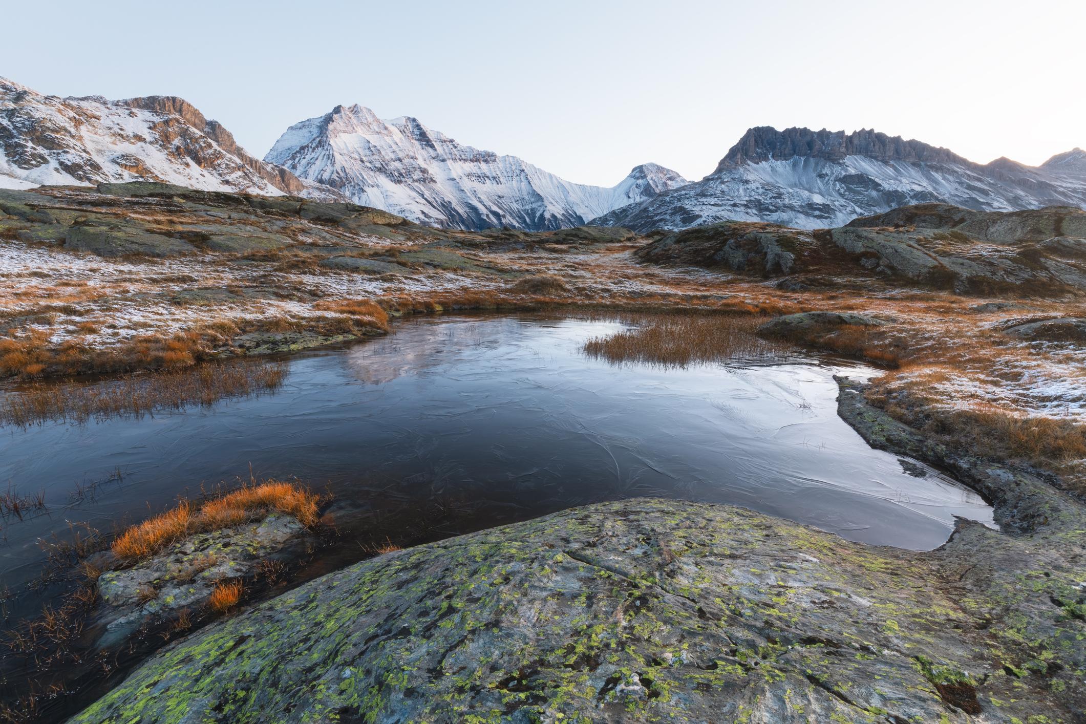
This trek is a shorter variant of the famous 11-stage Tour of the Vanoise. We've picked this shorter route, which is ideal for those with less time, as it captures the highlights. It shares part of its route with that longer walk, but focuses purely on a path through the group of high mountains between the Arc Valley, the Doron river and the Pralognan valley.
What’s fun about this five-day loop is that it stays consistently high. That doesn’t mean that “once you’re up, you’re up” - you’re still going to be doing a lot of climbing and descending in the mountains (a mighty 4,300m/14,107ft of ascent, to be exact) - but it does mean that the views on this trail are consistently superb.
If it’s not a glacier you’re looking at then it’s a deep valley or a mountain ridgeline, and there is the occasional optional summit along the way too, including the 3,015m (9,891ft) Pointe de l’Observatoire, easily reached in good conditions.
Other highlights include rounding the peak of Dent Parrachée and far-reaching views onto the Grande Casse and the Col de la Masse. Mountain huts are mainly run by the Parc National de la Vanoise (the Refuge du Plan Sec is particularly pleasant). The park is well known for its population of ibex, and over 100 species of bird live in the area, including ptarmigans, black woodpeckers, golden eagles, and Eurasian eagle-owls.
5. Climb Mont Blanc (4,805m), Alps
- Start/Finish: Chamonix
- Distance: approx. 11.8 miles (19km)
- Duration: approx. 3 days
- Difficulty: Challenging
- Best for: Summit baggers
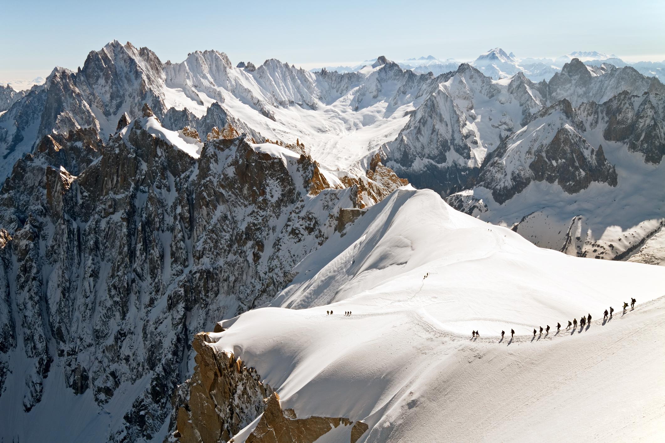
The ascent of Europe’s most famous mountain, Mont Blanc, is a classic - offering determined hikers the opportunity to reach one of the world's great peaks.
Today, it is considered the birthplace of modern mountaineering...
Mont Blanc stands 4,805m (15,764ft) high, and the summit of the mountain has long loomed large in the public psyche. It was first climbed in 1786 by local mountaineers Jacques Balmat and Dr Michel-Gabriel Paccard. Today, it is considered the birthplace of modern mountaineering and the town below, Chamonix, is an outdoor hub.
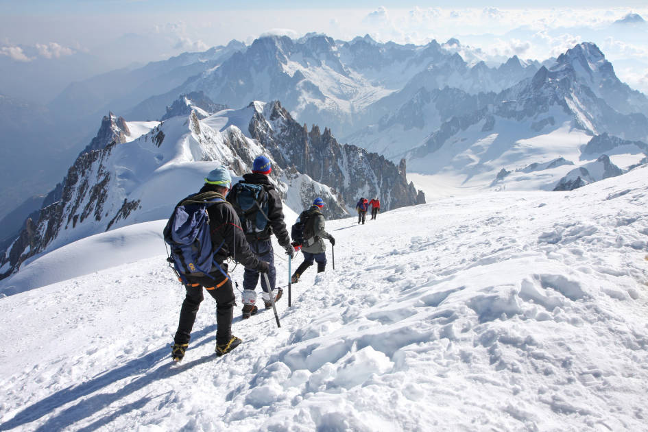
An ascent of Mont Blanc typically takes three days (not including acclimatisation time, and the time required to learn appropriate, essential winter skills).
Day one will see you take the Tramway du Mont Blanc up to the Nid-d'Aigle station at (2,372m/7,782ft), where the hike begins (on a narrow ridgeline) to one of two huts en route to the summit. Many stay at the Refuge de Tete Rousse at 3,167m (10,390ft) on night one. You’ll leave the hut early on day two to reach the summit of Mont Blanc and then get back down to the other hut, Refuge du Goûter, in a day that typically lasts 11-14 hours. You'll then descend back to Les Houches and Chamonix on day three.
Read more: A Beginner's Guide to Climbing Mont Blanc
6. The Blanc-Martel Trail, Verdon Gorge
- Start/Finish: Chalet de la Maline/Point Sublime
- Distance: 10 miles (16km)
- Duration: 4-7 hours
- Difficulty: Moderate
- Best for: Families (without a fear of heights!)
This is the first of only two day hikes we’ve included on this list.
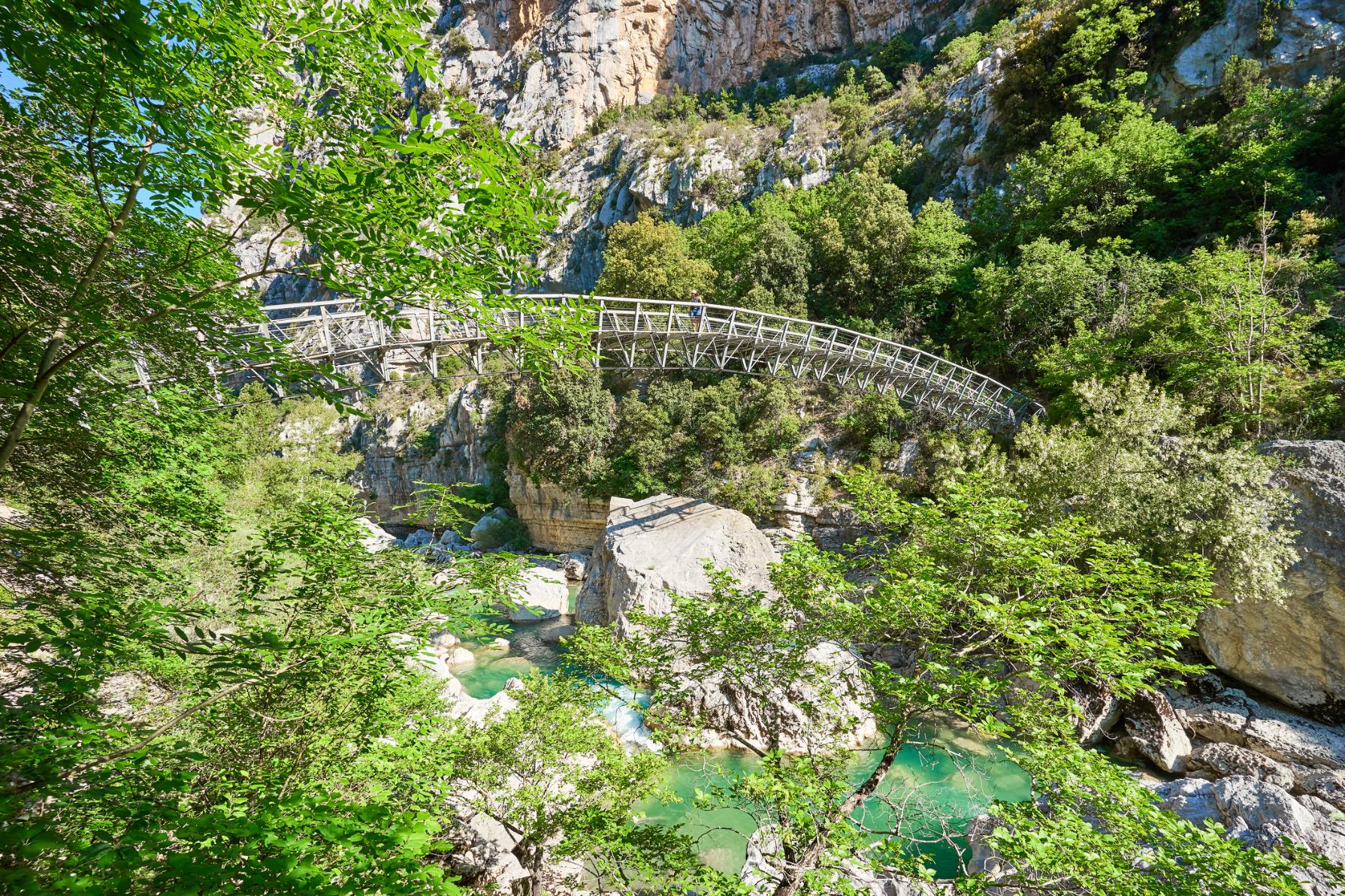
It's the famous Blanc-Martel trail which runs from Chalet de la Maline in La Palud-sur-Verdon to Point Sublime in Rougon, through the timeless Gorges du Verdon. This is the only route which allows you to trace the river through Verdon gorge. As such, it's an incredibly popular walk - featuring imposing limestone cliffs, steep staircases, juniper and mulberry trees and, of course, the glacial river.
Leaving the Chalet de la Maline, you’ll follow the GR4 trail, which has white and red waymarkers. You’ll go through Pré d'Issane, hike the Carrefour des Cavaliers and can (read: should!) take an optional 45-minute venture out-and-back to the bendy L’Estellier footbridge, pictured above, which arches over the river.
Continue on past some scree slopes to the 252 steps of the steep Brèche Imbert staircase. Careful as you descend. You will then pass through a couple of dark tunnels - which can have a few inches of water on the floor - before reaching La Raquette, with Sublime Point, a popular viewpoint over the gorge, beyond.
There’s a shuttle you can book (in advance) to take you back to the start point.
7. Robert Louis Stevenson Trail, Cévennes
- Start/Finish: Le Monastier-sur-Gazeille/Saint-Jean-du-Gard
- Distance: 171 miles (276km)
- Duration: approx. 14 days
- Difficulty: Moderate
- Best for: Literature lovers
In 1878, Robert Louis Stevenson - the Scottish novelist best known for The Strange Case of Dr Jekyll and Mr Hyde - set off on a 12-day, 120-mile (200km) journey through the sparsely-populated Cévennes mountains, in south-central France.
It follows the route of Stevenson, as documented in the book he published the year after returning - Travels with a Donkey in the Cévennes.
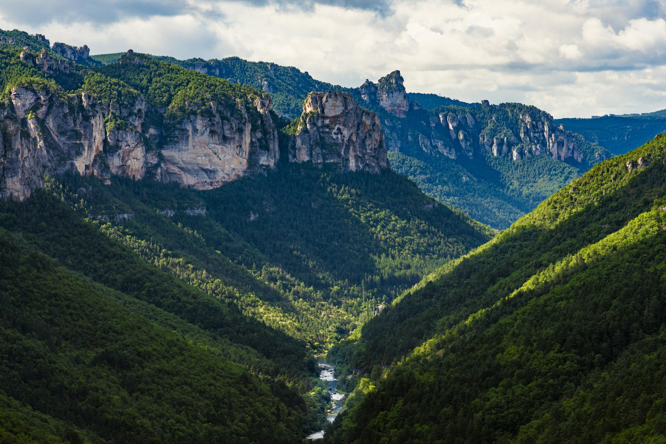
This region, which is full of small, quiet towns, dramatic rock formations and heathery hillsides, remains rarely-visited today. Those who do visit often find themselves on the GR70 route. Also known as the Chemin de Stevenson (or The Robert Louis Stevenson Trail), it is a Grande Randonnée walking path which follows the approximate route of the author, as documented in the book he published the year after returning - Travels with a Donkey in the Cévennes.
Out of all the trails on this list, the GR70 is perhaps the quietest. It is a route for those who enjoy the humble charm of forests, farmland and historic, rural France. It is a walk where the sounds of clanging cow bells is never far away, and the produce is always local and fresh. There are also sublime views, though. The ridge beyond Le Pont-de-Montvert is beautiful, as are the panoramas of Cévennes National Park.
8. Argentière to Trient, Alps
- Start/Finish: Argentière/Trient
- Distance: 9 miles (14.5km)
- Duration: 5 hours
- Difficulty: Moderate
- Best for: A one-day taste of the Walker's Haute Route or TdMB
The Walker’s Haute Route is a long-distance hike connecting two of the most iconic mountains (and mountain towns) in the Alps - Chamonix in France, the home of the mighty Mont Blanc, and Zermatt in Switzerland, which sits beneath the Matterhorn. The majority of the route is in Switzerland, but the walk begins with a couple of stages in France - and this is the second of those.
This trek is typically stage two of the Walker's Haute Route (and it also features on the Tour du Mont Blanc), following the pleasant but relatively tame opening section of the route from Chamonix to Argentière the day before. The walk takes you from across the border from France into Switzerland, with a variety of terrain.
Through the breaks in the trees, you'll see Le Tour, backdropped by a dramatic winding mountain trail. That's where you're going next.
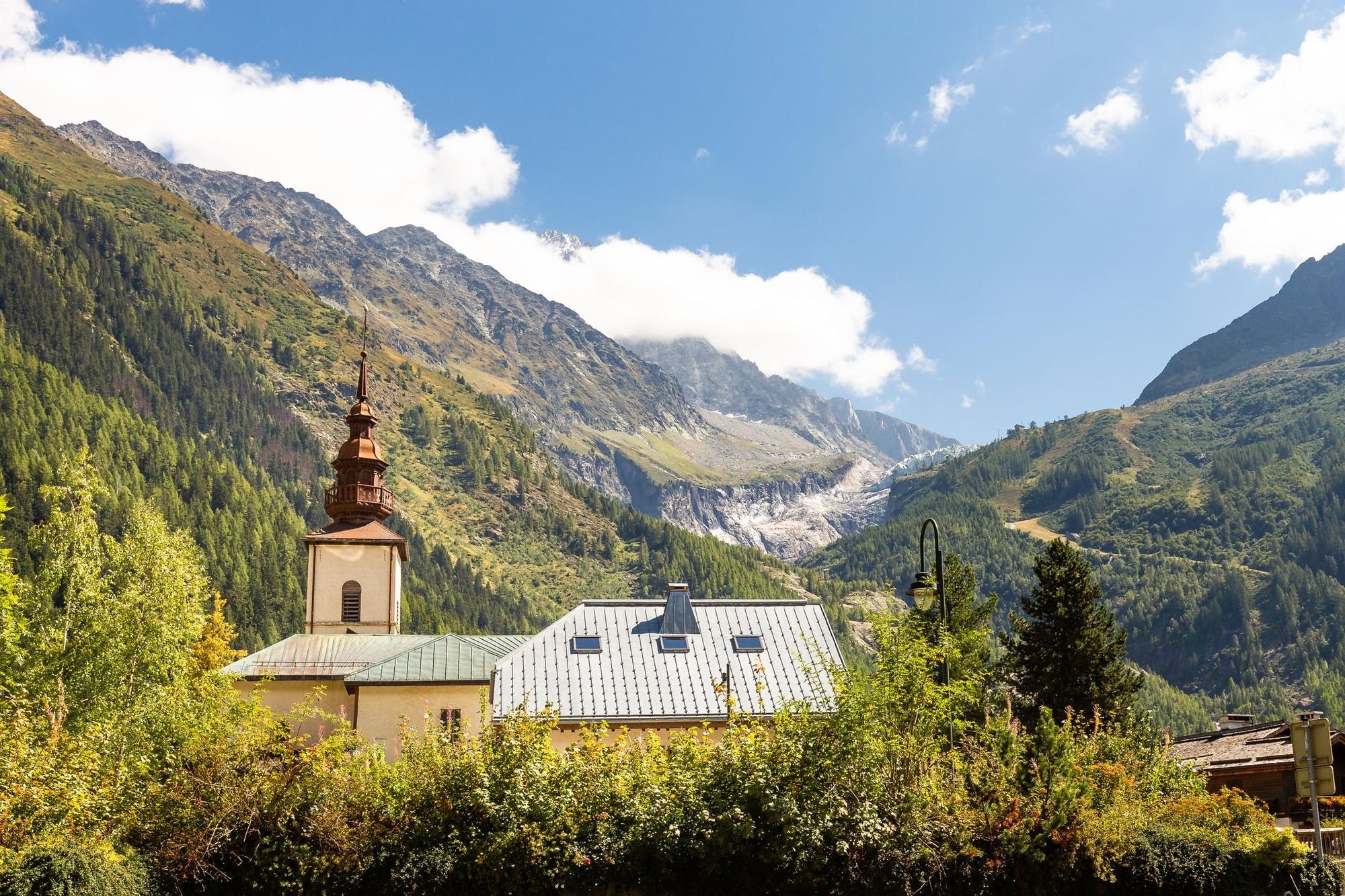
Argentière is a town at the base of a glacier, and early on in your hike, you'll be able to see it. It is very much a traditional, quiet alpine town, - tall chalets with slopes roofs, surrounded by forest and mountains.
Walk through the town to reach the signposts to Le Tour, another small mountain town. You'll walk towards it, starting with some steep, uphill switchbacks in dense forest which is sure to wake your legs up. Through the odd break in the trees, you'll see Le Tour, backdropped by a dramatic winding mountain trail. That's where you're going next. At the top of the hill is Col de Balme, a high mountain pass at 2,195m (7,201ft) which connects the France to the Swiss canton of Valais.
There's a great refuge here for a lunch stop, and it's all downhill from here on to Trient. En route? Steep forests, rolling meadows, far-reaching alpine views and dramatic, awe-inspiring mountains. This hike has a little bit of everything.

9. The GR21 Cliff Trail, Côte d'Albâtre, Normandy
- Start/Finish: Le Tréport/Le Havre
- Distance: 118 miles (190km)
- Duration: 8-12 days
- Difficulty: Easy to moderate
- Best for: Discovering the Côte d’Albâtre
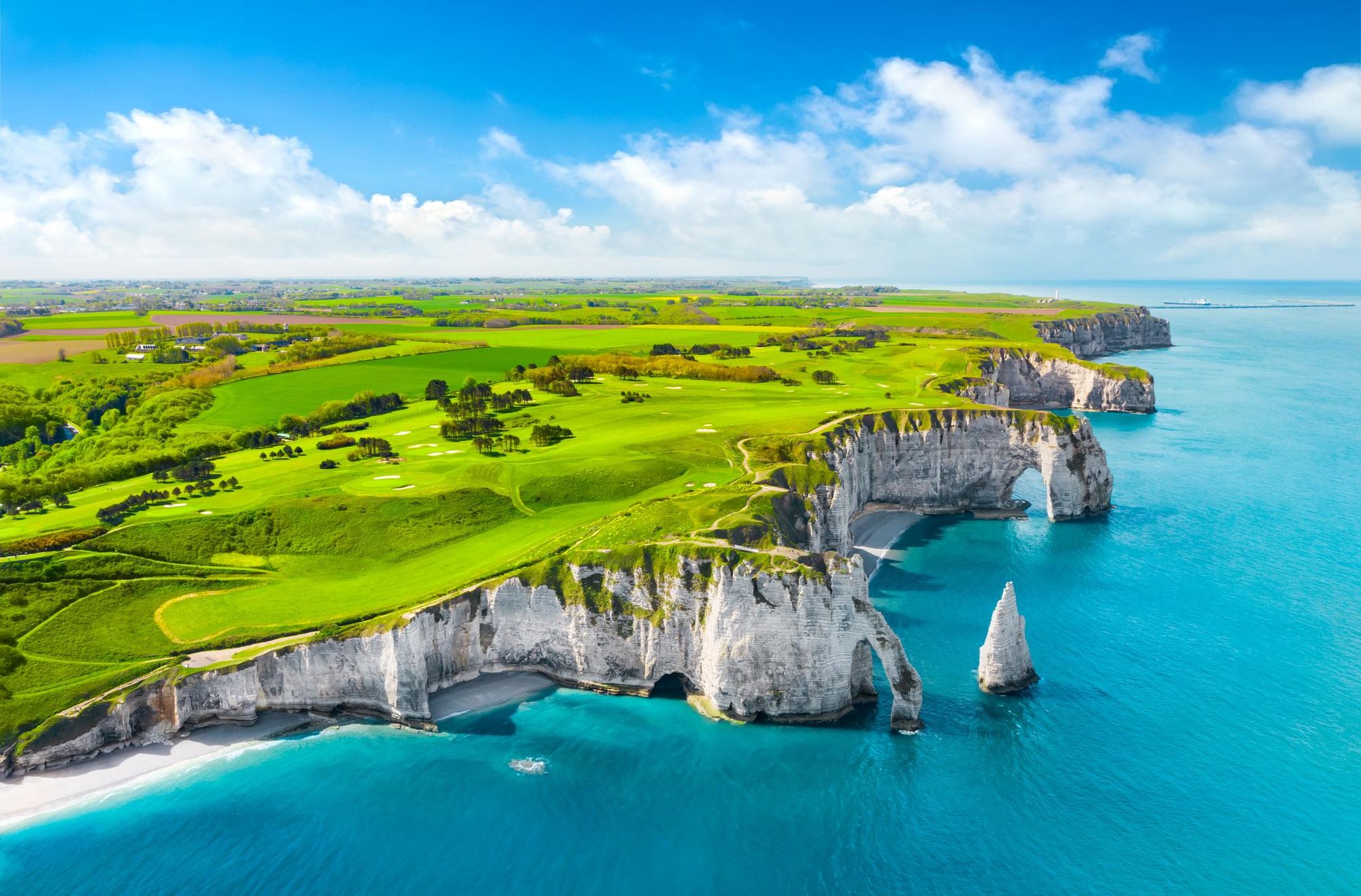
The GR21 Sentier des Falaises (cliff route) is the ultimate way to explore the Normandy Coast. It runs along the white cliffs, green coast and beaches of the Côte d’Albâtre (Alabaster Coast), rarely straying far from the water.
The chalk cliffs are the star of the show here, and they're very much as beautiful as you’d expect, rising high out of the sea, and complimented by the odd arch or sea stack (most famously on show at Étretat, above, which features on the stage of the hike from Gonneville-la-Mallet to Vattetot-sur-Mer). It’s not hard to see why this landscape inspired so many of France’s famous impressionist painters.
Elsewhere, this is a route of fishing ports and towns, of hospitality, pebble beaches, rolling hills and quiet countryside. Do bring a rain jacket though. The northern coast is no strange to a raindrop.
10. The Grande Traversée of La Réunion
- Start/Finish: St. Denis/Le Baril
- Distance: 80 miles (130km)
- Duration: 14 days
- Difficulty: Challenging
- Best for: Combining continents
The starting point for this hike is roughly 5,832 miles (9,386km) from Paris, but La Réunion is an official overseas department and region of France, so in our eyes, the walk is eligible for this list - and let's be real for a second: it's a banger.
Réunion Island sits in the middle of the Indian Ocean. The nearest next door neighbour is the island of Mauritius, 140 miles (226km) away, and the next closest island is Madagascar, a full 435 miles (700km) to the east.
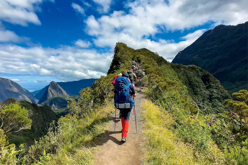
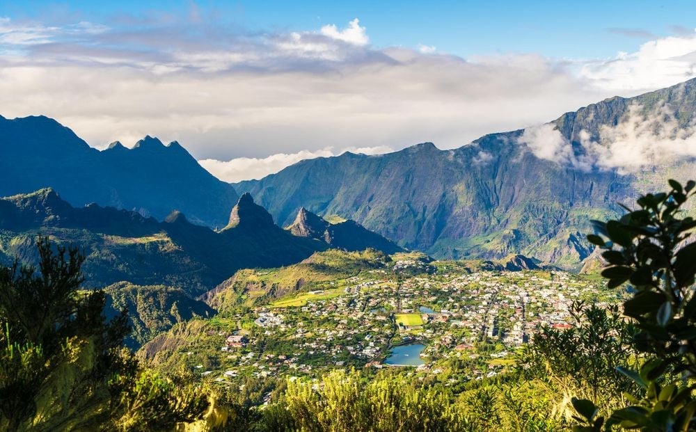
Réunion isn't a big island, but it is highly mountainous. It's ideal for adventure - and the Grande Traversée route takes in a whole lot of it. This hike takes you from the capital of St. Denis in the north to Le Baril in the south, over 14 stages.
Along the way, you’ll climb the Piton des Neiges, a volcano which at 3,070m (10,0072ft) is the highest point in the Indian Ocean, and you’ll also summit the Piton de la Fournaise (2,632m/8,635ft), one of the world's most active volcanoes.
This route, which is officially designated as the GR-R2, is one of the world’s finest coast-to-coast routes. You'll discover remarkable cirques, towns nestled amongst enormous mountains, explosive scenery, dense jungle and azure waters alive with humpback whales and loggerback turtles. So, who's feeling adventurous?
Read more: The 140-Mile Coast to Coast Route Across Reunion Island
When is the Best Time to Hike in France?
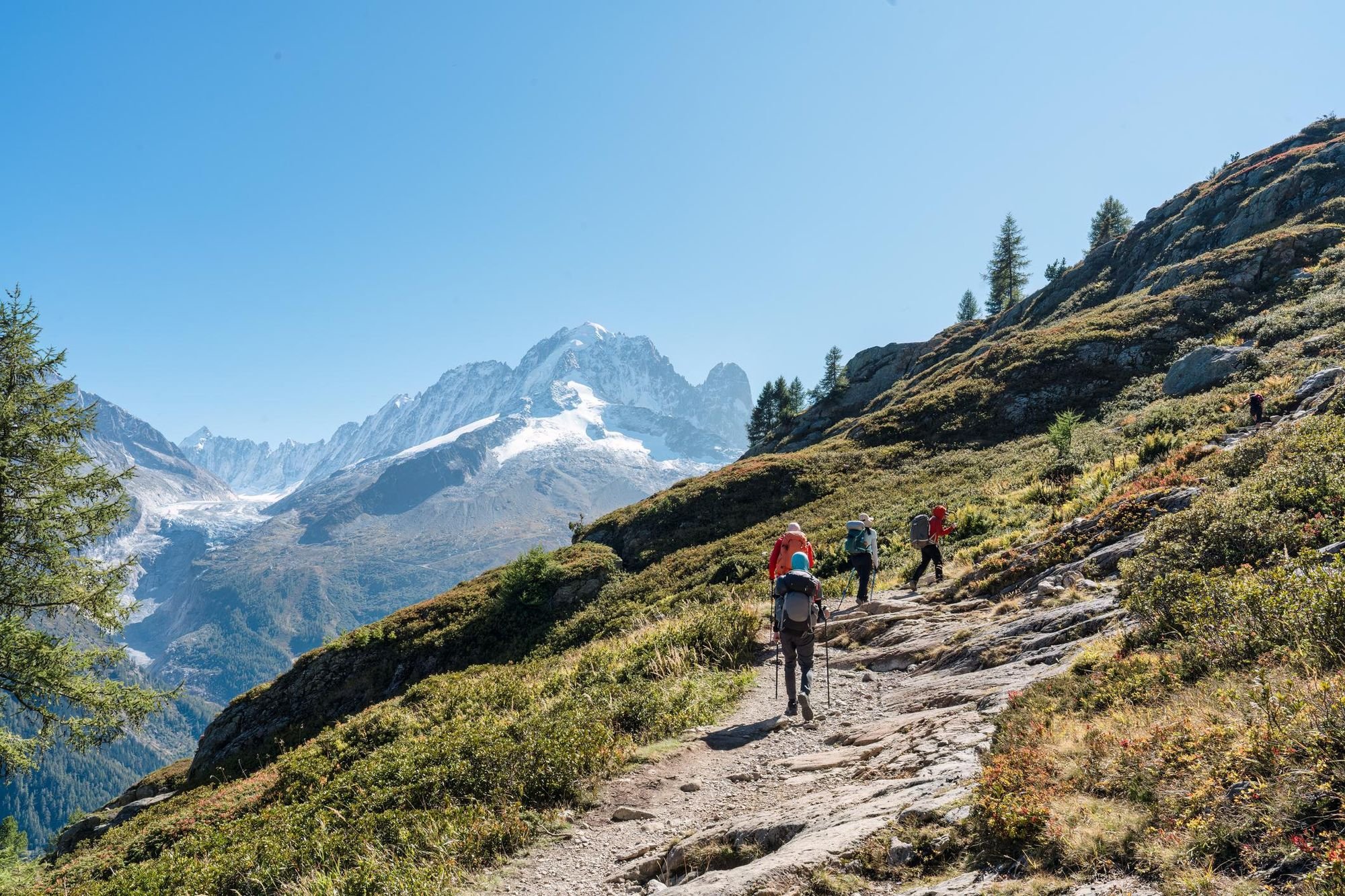
The seasons in France are typical of those in western Europe, meaning that the best time to hike in the mountains of France is between June and September.
There is more sunshine and less rain in these months. What's often forgotten by those planning treks is that, on the high mountains (say in the Alps and in the Pyrenees), trails are regularly impacted by snow, too. This means that in winter, it's not just that many routes are plagued by bad weather, many are literally buried under snow. Even in the shoulder season - say, May and October - a lot of the snow is still melting, so there's a higher avalanche risk and a higher risk of falling rocks.
On the high mountains in the Alps and in the Pyrenees, the trails are regularly impacted by snow.
Some may be surprised to hear that this even applies to a southern island hike like the GR20 on Corsica, though the season there is slightly expanded to May and September. That said, you can actually encounter snow on the GR20 route as late as July. On Réunion Island, the best months of the year for hiking are from April to December, as the three months following December are the cyclone season.
The Verdon Gorge is in the south of France, and so the summer months are again ideal for those who like heat, but the shoulder seasons are arguably the best bet for comfortable temperatures and fewer crowds. Côte d'Albâtre in Normandy is in the north of France, and is best visited between October and April, similar to British hiking, when the daylight hours are longer.
What Wildlife Can I See in France?
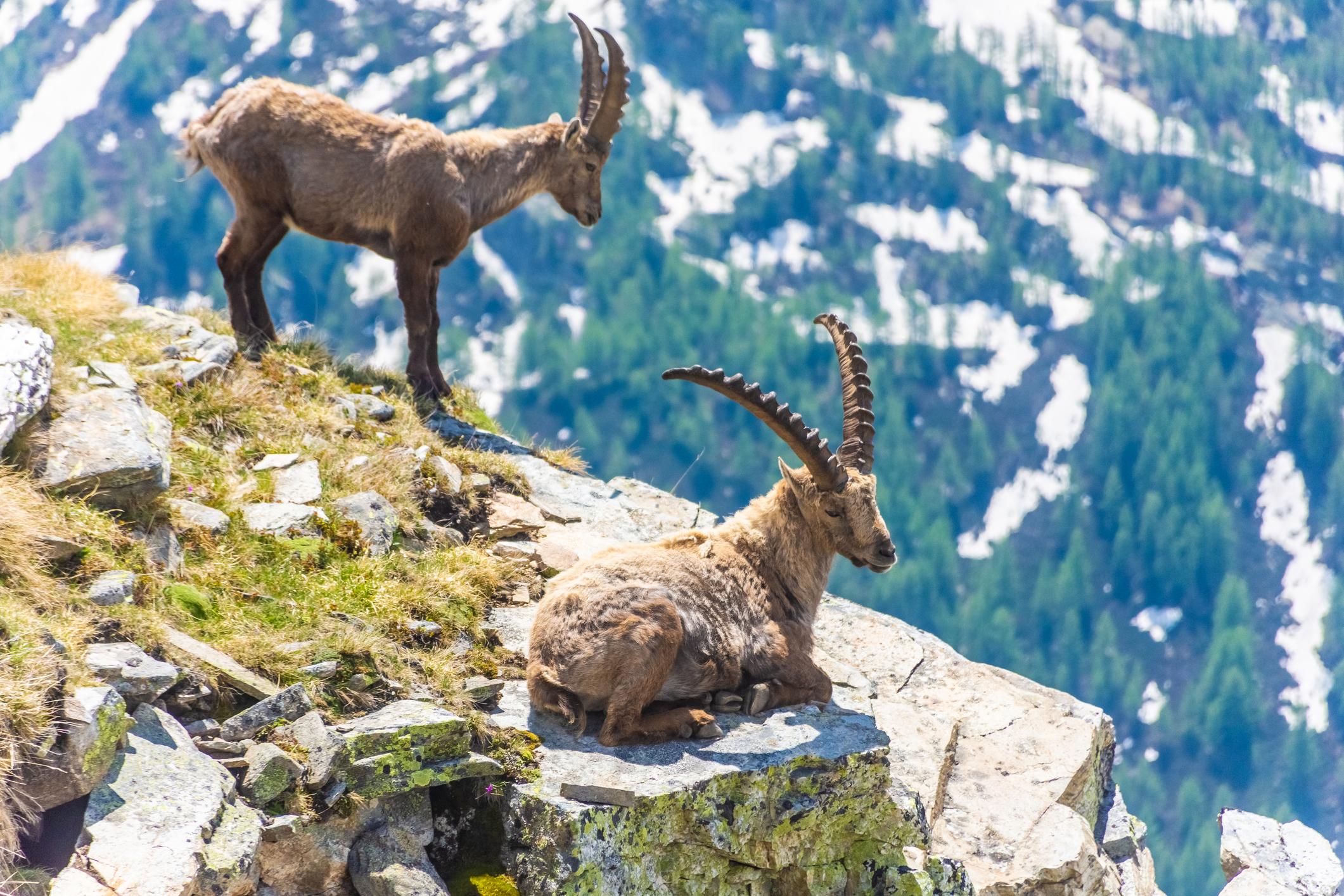
Chamois and ibex are fun fixtures in much of France, including the Alps and the Pyrenees. Both are relatives of the goat. Chamois tend to be a little thinner, with smaller, thinner horns and white, gazelle-like stripes on their face. They have a distinctive, high-pitched call which you may hear while you’re out hiking. Ibex meanwhile are immediately recognisable from their long, curling horns.
In the Pyrenees you may also see a desman in the waterways. It looks a little like a small aquatic mole...
In both the Alps and the Pyrenees, look out for alpine marmots, which are large, ground-dwelling squirrels with comical expressions and loud-pitched screams. You may also spot ptarmigan, which are white, round birds usually only found high in the mountains. If you see a large bird circling up in the air, it might be a golden eagle, or alternatively, a griffon vulture, a bearded vulture or if smaller, a buzzard.
In the Pyrenees you may also see a desman in the waterways. It looks a little like a small aquatic mole, but with a longer tail and a snout is actually a flexible trunk.
If you venture to La Réunion, of course, the flora and fauna changes wildly. Here, you can see brightly-coloured birds and chameleons, while in the water, there are humpback whales, loggerback turtles and a kaleidoscope of tropical fish.
Where to Stay While Hiking in France?
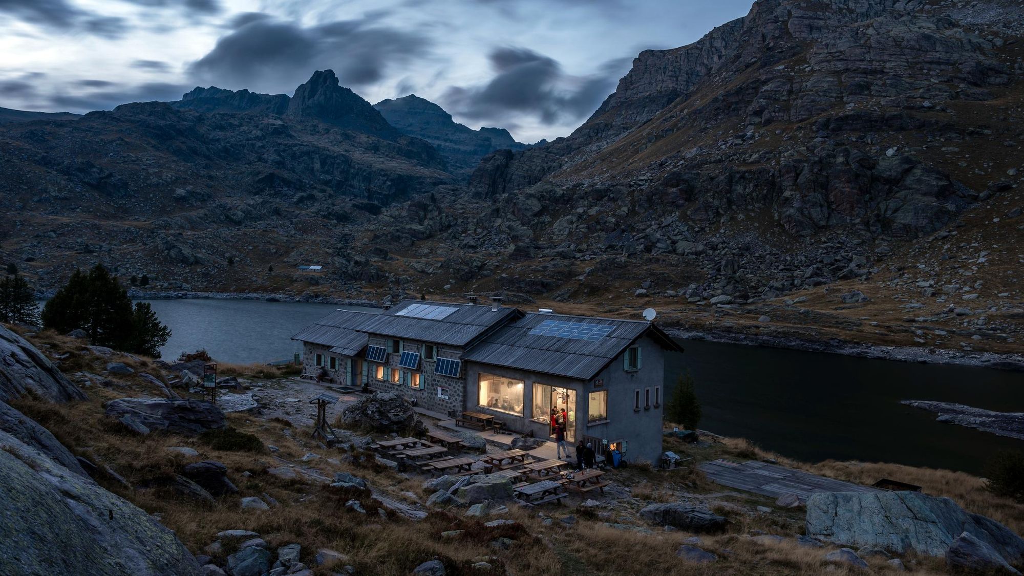
There’s a whole host of fantastic boutique hotels and scenic campsites around France, but it’s the mountain refuges which get us excited.
On the Tour du Mont Blanc you’ll mostly likely stay in mountain refuges, huts and guesthouses. It’s a similar story if you’re climbing Mont Blanc. Going hut to hut in the Alps or the Pyrenees is a special experience. These refuges are usually stone or wooden buildings which are two or three floors high. The biggest ones can sleep around 75 people in dormitories, while smaller huts are usually able to accommodate around 15-20 people. It’s not a bad idea to bring a set of ear plugs.
Mountain refuges will have electricity, a water supply and toilets and many are family run, with breakfast, lunches and dinners also on offer (more on that in the following section). What really sets these mountain refuges apart, though, is the location, and the people you'll be sharing a dorm with. There’s something special about spending the night somewhere you’ve had to hike to reach.
What to Eat in France?

Beef bourguignon, French onion soup, croissants, blanquette de veau, ratatouille (whether cooked by human or rat) - the cuisine of France is legendary.
Naturally, when you’re out hiking it’s unlikely that you’ll find yourself at one of France’s 600+ Michelin Star restaurants, but all food tastes better on a walk anyway, particularly after a big day of hiking.
When you get into the mountains, the likes of raclette, fondue and tartiflette - mouthwatering dishes based around melted cheese - all come into play.
Basically, if you like cheese, then you will be extremely well catered for...
Poêlée montagnarde is another heartwarming dish using typical Savoyard ingredients; potatoes, white wine, bacon, onions and cheese. Basically, if you like cheese, you will be well catered for in the French mountains, but do also make sure you try the local berries and fruits. Meat options tend to be hyper-local, too.
In the mountain huts, at breakfast, expect breads, pastries, cheese and the odd sausage or two. Dinner tends to be a hearty meal like a soup or pasta dish followed by a ‘main course’ of meat. All mountain huts can, of course, provide vegetarian and vegan dishes with advance notice. The usual sources of protein in those cases is likely to be beans, lentils, chickpeas or perhaps tofu or quinoa.
How to Get To (And Around) France?
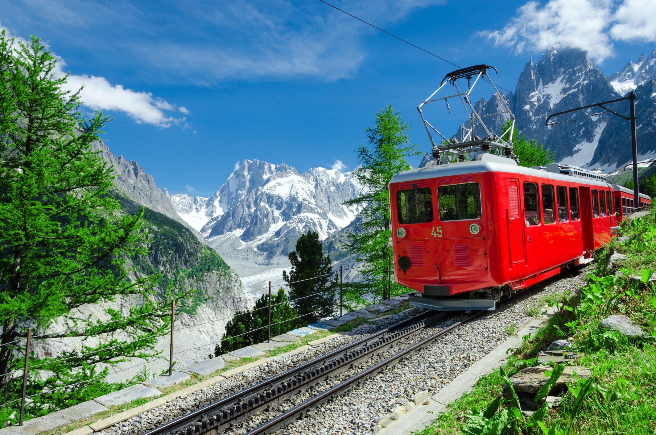
If you’re travelling to France from the United Kingdom, the Eurostar offers a simple way to get across the Channel. You can then change trains at Paris or Lille and continue the journey. France is extremely well served by its rail network, which allows for affordable, long-distance travel around the country.
The closest airport to Chamonix in the French Alps is actually Geneva Airport in Switzerland, while if it’s the Pyrenees you’re heading to, there are numerous options depending on where you’re off to, including the main airport for the mountains, Toulouse, or Zaragoza Airport.
Inspired? Check out our range of adventure holidays in France now!

