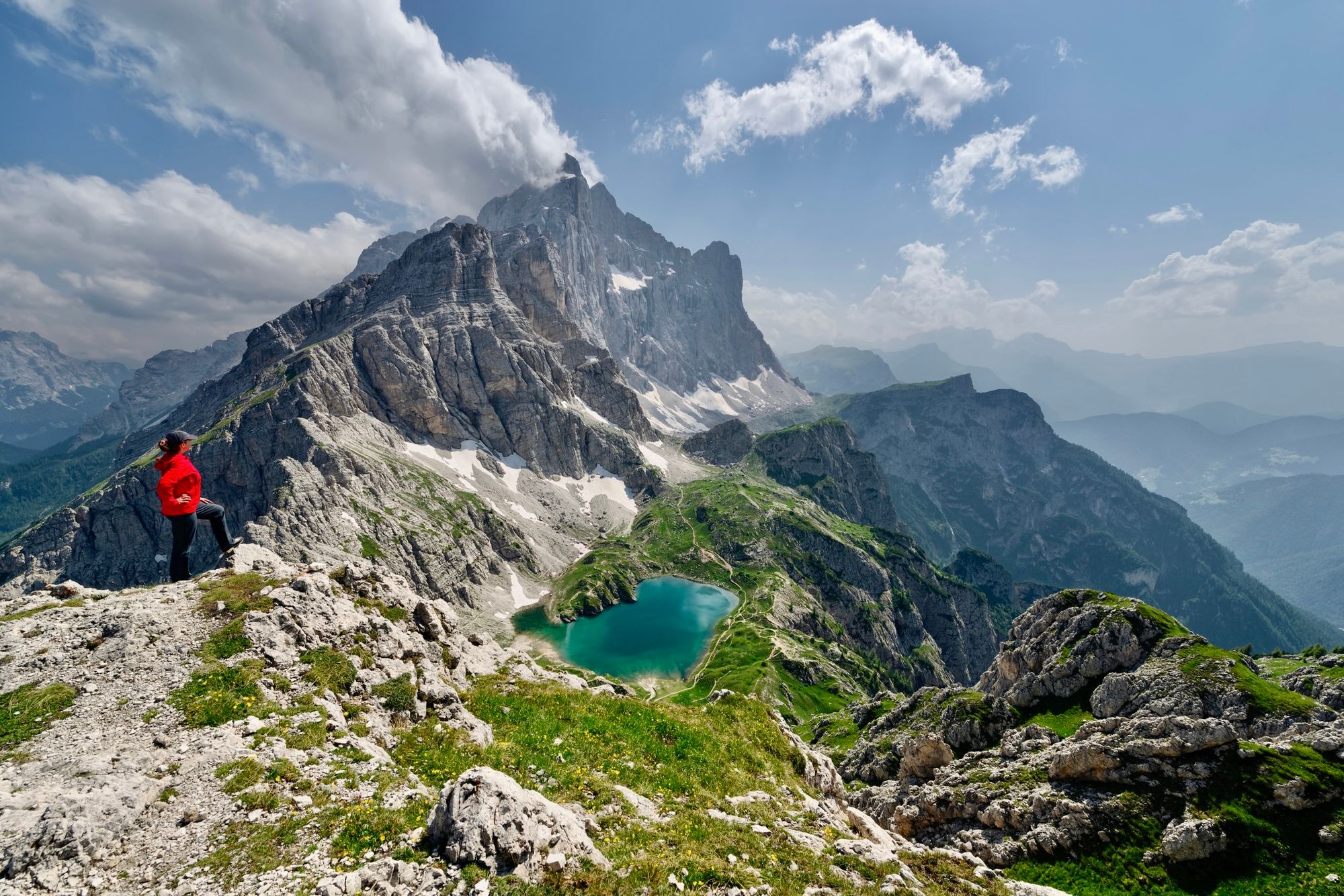
The Dolomites are a mountain range in the Italian Alps, characterised by their iconic, instantly-recognisable jagged limestone peaks. They've received an outstanding universal value designation by UNESCO, who named them as "among the most attractive mountain landscapes in the world."
They're known for their sky-piercing spires and pinnacles, which exist amongst a topography of austere rock walls and lunar-like plateaux, both providing a stark contrast with the undulating green foothills below. The mineral composition of the Dolomites has led to a natural phenomenon called "enrosadira" (which means 'becoming pink'), as the rocky peaks react to changes in daylight, becoming pink, fiery orange and red at dawn, sunrise and sunset, and glowing soft white at twilight.
Amidst the jagged limestone peaks and high rock walls of the Dolomites, you'll find hundreds of via ferratas
Amidst the jagged limestone peaks and high rock walls of the Dolomites, you'll find hundreds of via ferratas. These 'iron roads' were first created in the Dolomites to help the Austro-Hungarian and Italian armies move troops during World War One – and now attract adventurers from across the world. But rest assured, if you're looking for a more moderate hike; there are also hundreds of hiking trails undulating through the Dolomites' lush Alpine meadows and forested foothills.
We've selected these 10 routes as the best hikes in the Dolomites:
- Passo Giau to Monte Mondeval
- Viel del Pan Trail
- Lago di Limo Trail
- Malga Ra Stua to Sennes Hut
- Kaiserjäger
- Torre dei Scarperi Circuit
- Val di Canzoi
- Alta Via I
- Alta Via II
- Anello delle Dolomiti Friulane
Here's our guide to the best hikes in the Dolomites, what to eat and where to stay.
The Best Hikes in the Dolomites, Mapped
We've mapped the trailheads for the best hikes in the Dolomites, taking you up via ferratas and across lush Alpine meadows, surrounded by soaring peaks.
The 10 Best Hikes in the Dolomites
1. Passo Giau to Monte Mondeval
- Start/Finish: Passo Giau (circuit)
- Distance: 7.9 miles (12.8km)
- Duration: 4-5 hours
- Difficulty: Moderate
- Best for: a slice of pre-history
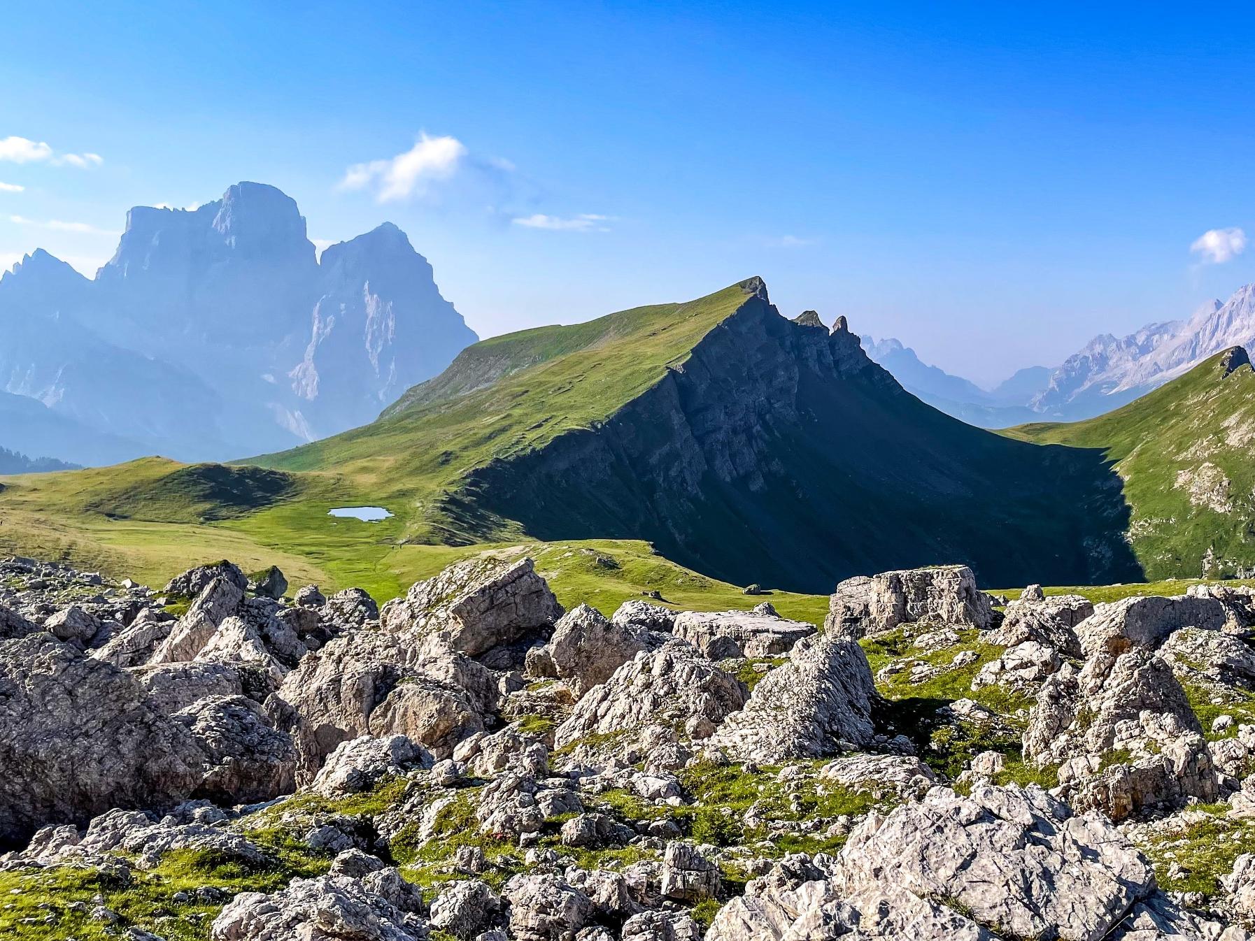
This route begins at Passo Giau, one of the most scenic passes in the Belluno Dolomites, and takes you on a circuit of the Mondeval Plateau, a grassy, bowl-shaped plateau surrounded by soaring limestone peaks.
From Passo Giau, follow trail 436 to Forcella di Giau, crossing several mountain passes along the way – the austere rock wall of the Lastoni di Formin looms in front of you. From here you’ll proceed to Lago delle Baste, a small lake at the foot of Monte Mondeval, which at 2,455m (8,058 ft) is the highest point on the Mondeval Plateau. Reach the summit via the path tracing the western ridge, and soak in the panoramic views of Monte Pelmo, Monte Civetta and the Pala Group.
Retrace the same path back to Lago delle Baste and head east in the direction of Becco di Mezzodi mountain. Follow the trail sign pointing to Forcella Ambrizola and you’ll reach a mesolithic burial site. This is where a male Cro-magnon skeleton (dating back to 7,500 years ago) known as the ‘Man of Mondeval’ was excavated in 1987, alongside an array of funerary objects.
The trail continues east over the Ru Mondeval Creek and expansive meadow, before rejoining trail 436 and returning towards Forcella di Giau and back to your starting point
2. Viel del Pan Trail
- Start/Finish: Arabba/Passo Pordoi (point to point)
- Distance: 5.7 miles (9.2km)
- Duration: 3 hours
- Difficulty: Moderate
- Best for: Views of Marmolada, the ‘Queen of the Dolomites’
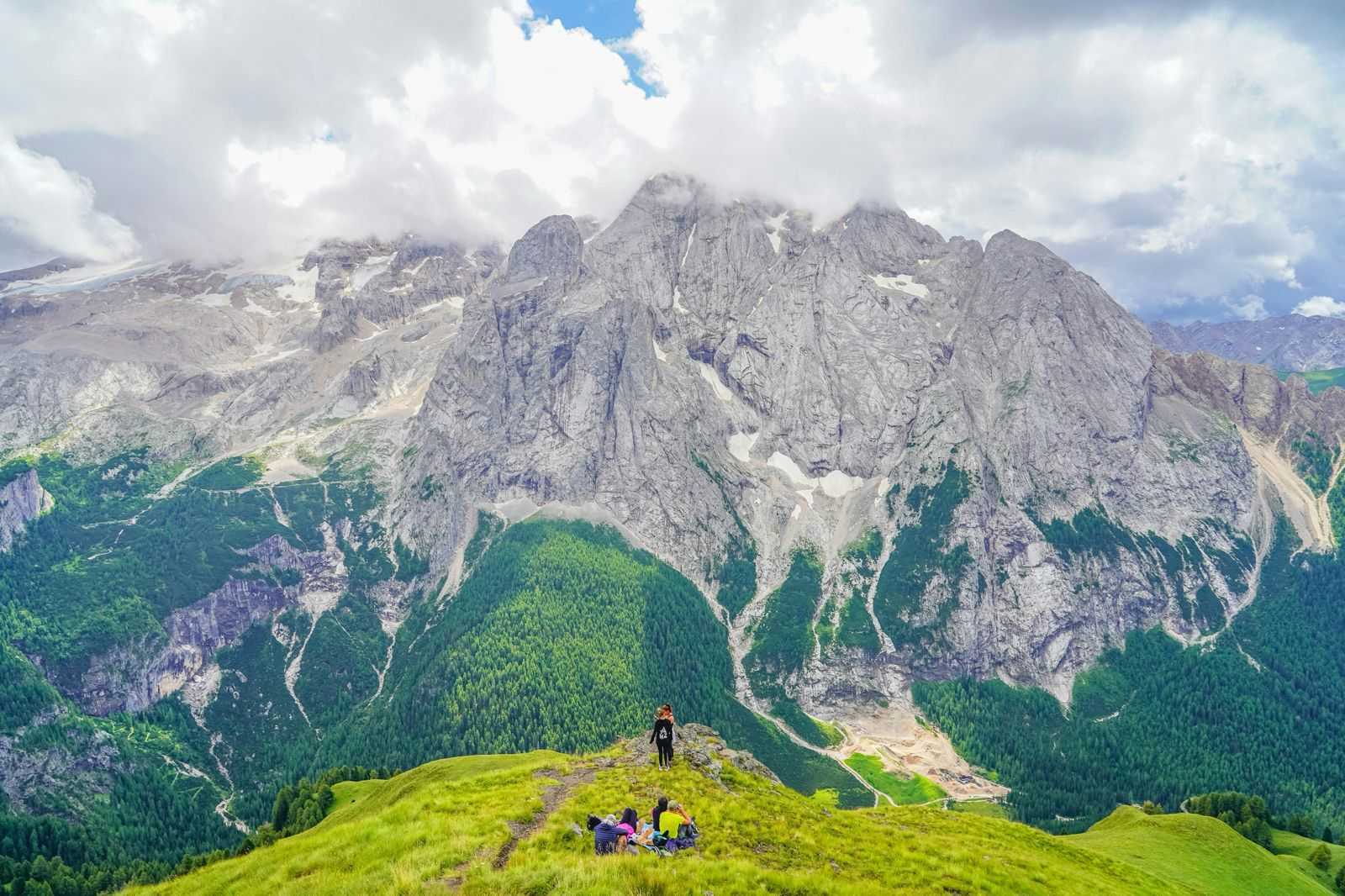
A short hiking trail running along the spine of the Padon Mountain chain, which traces an ancient route once used by grain smugglers to avoid having to pay taxes (‘Viel del pan’ means ‘bread path’). The Padon Chain is made of black volcanic rock, giving it a unique appearance within a landscape of limestone.
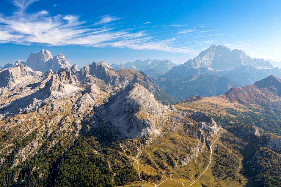
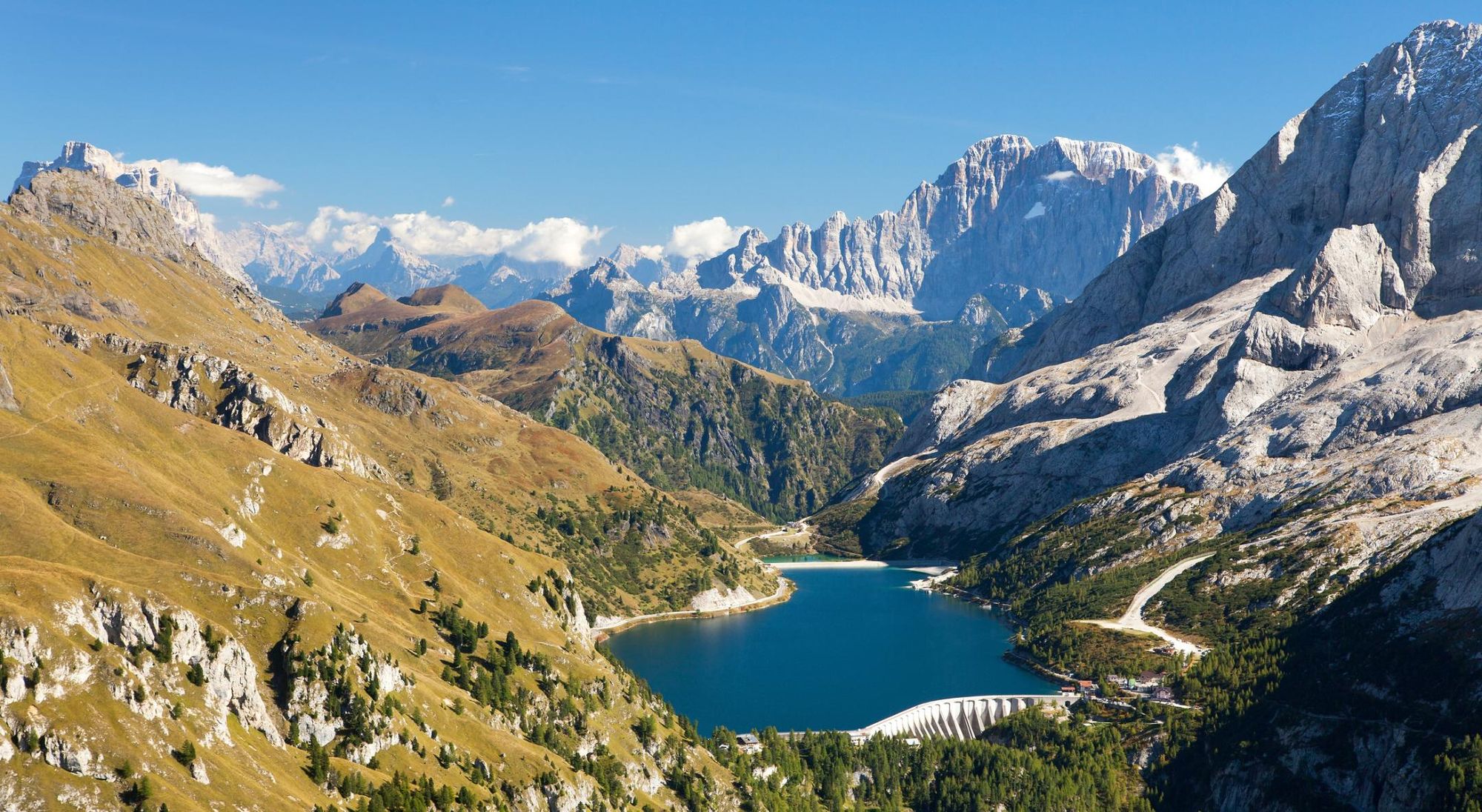
The trail (number 601) can be found near the Porta Vescovo cable car in the village of Arraba. Follow it downhill along the mountain ridge, where you’ll have panoramic views of Marmolada (3,343m/10,967ft) , a prominent glacier-carpeted peak. You’ll also see glacial Fedaia Lake at its base; a shimmering turquoise body of water surrounded by mountains. The Viel del Pan Refuge makes for a cosy midway refreshment stop. Continue hiking downhill until you reach Passo Pordoi.
If you can’t get a lift back to Arraba, and are hiking back, we recommend taking an alternative path for variety, marked ‘CAI. 680’ – an easy dirt track favoured by mountain bikers.
3. Lago di Limo Trail
- Start/Finish: Sciaré (out and back)
- Distance: 11.5 miles (18.6km)
- Duration: 5-6 hours
- Difficulty: Moderate
- Best for: Lakeside views
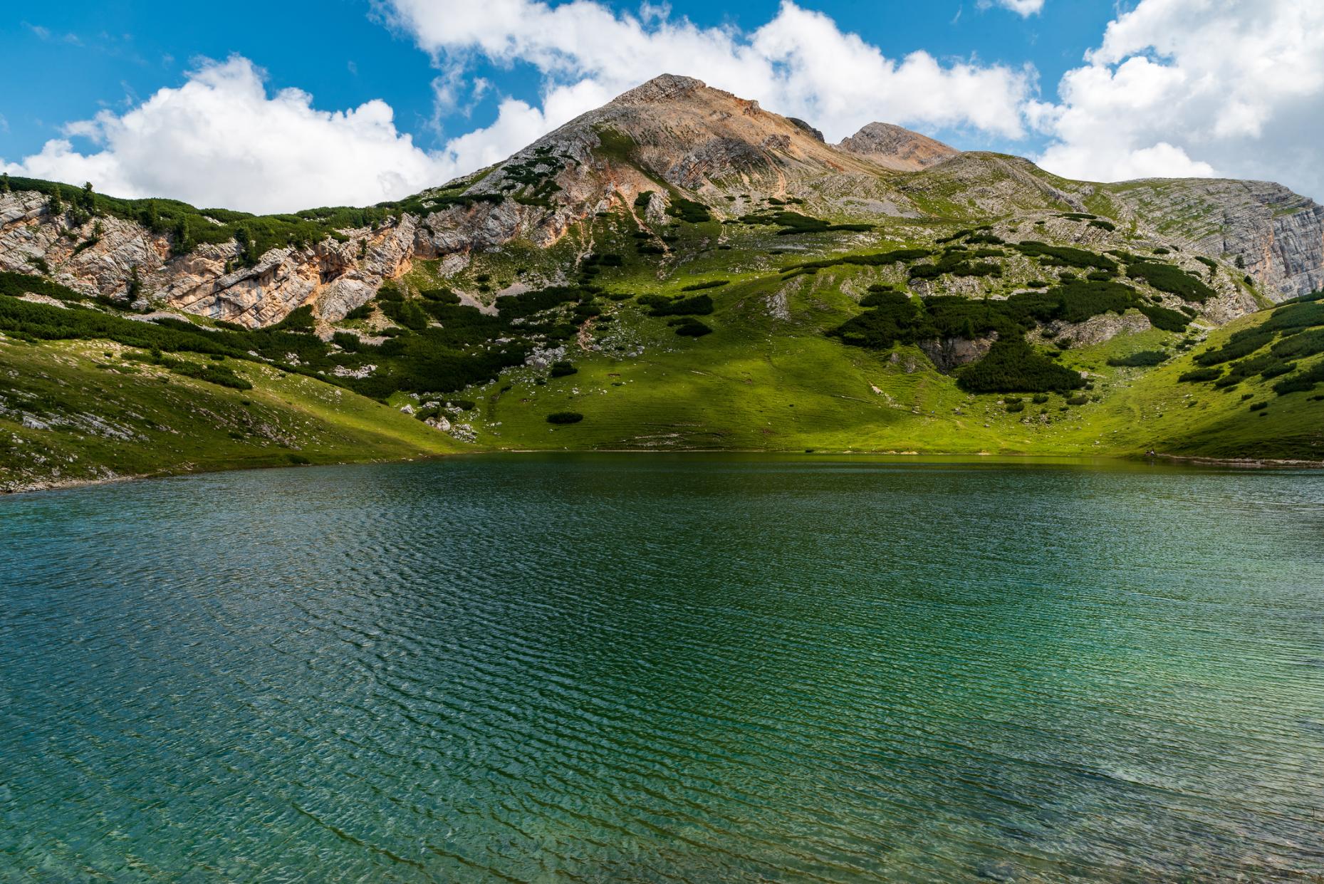
This hike takes place in the scenic Fanes-Senes-Braies Nature Park, a 155.3 sq. mile (250 sq km) reserve of expansive plateaus surrounded by rocky massifs, of lush meadows and forested foothills. The destination is Lago di Limo, a turquoise lake framed by karst mountains – an ideal midpoint stop for a picnic or a swim.
There are a variety of hiking trails which lead to Lago di Limo. For a longer day hike begin at the car park near Punt de Sciaré and follow hiking trail 11 along the southern bank of a small creek until you reach Capanna Alpina mountain hut. The trail crosses a wooden bridge and becomes narrower and steeper, winding its way upwards to Col de Locia, where you’ll be greeted by views of Marmolada and the Sella Mountains.
From here, the path evens out, undulating across wildflower meadows to the Rifugio Gran-Fanes. From the refugio, you’ll climb upwards to Lago di Limo, which is located at the foot of the austere Col Bechdel. After stopping for refreshments (be it a lakeside picnic or a hearty meal at the refugio), return the way you came.

4. Malga Ra Stua to Sennes Hut
- Start/Finish: Malga Ra Stua/ Sennes Hut (point to point)
- Distance: 3.7 miles (6km)
- Duration: 3-4 hours
- Difficulty: Moderate
- Best for: Winter snowshoeing
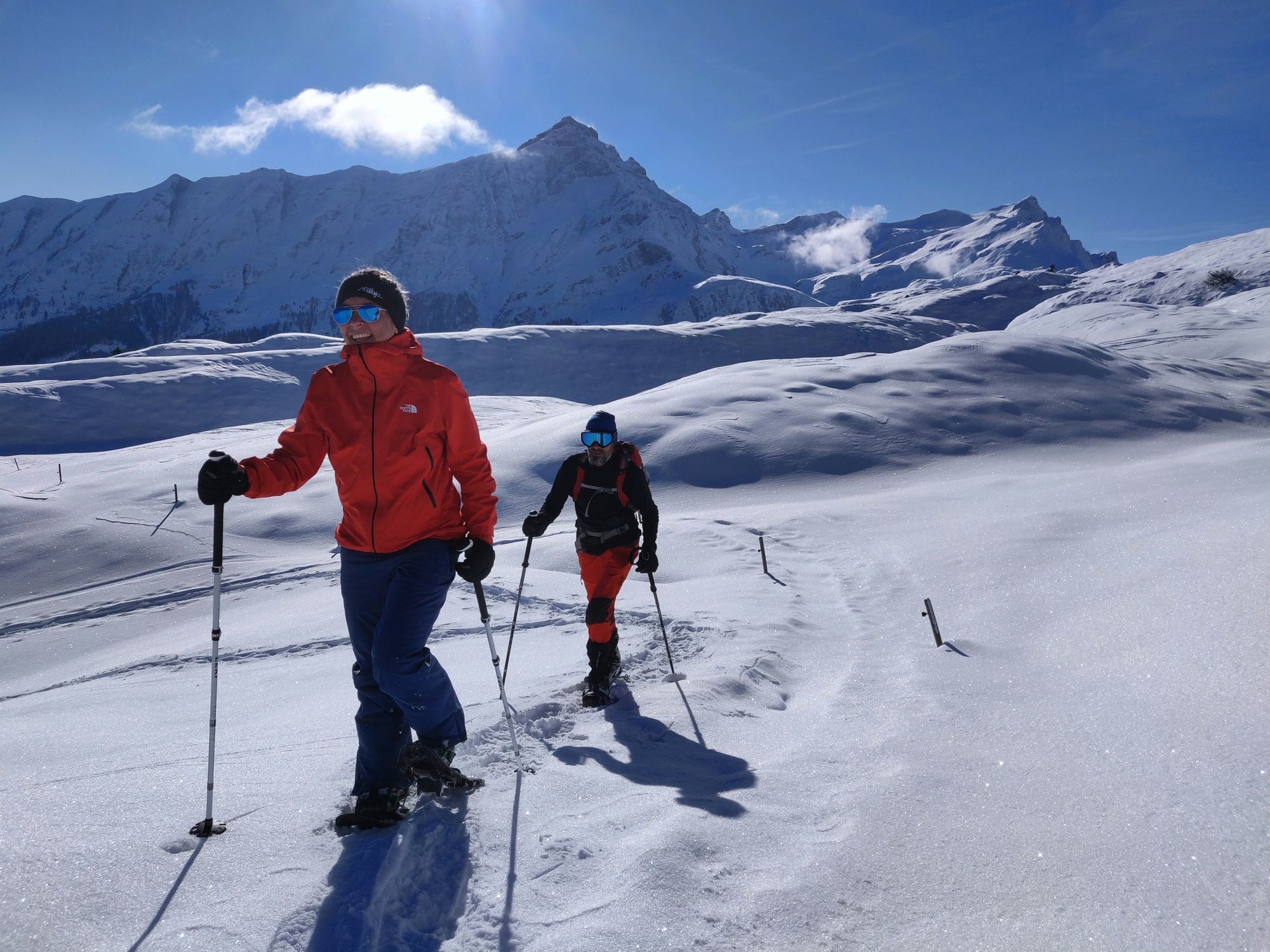
This hike takes you through Alpine forest, emerging at the cosy Sennes Hut, where you’ll have sweeping views of the Ampezzo Dolomites. We particularly recommend this as a snowshoe trail during the winter months, when a dusting of snow gives the mountains and forest a fairytale atmosphere.
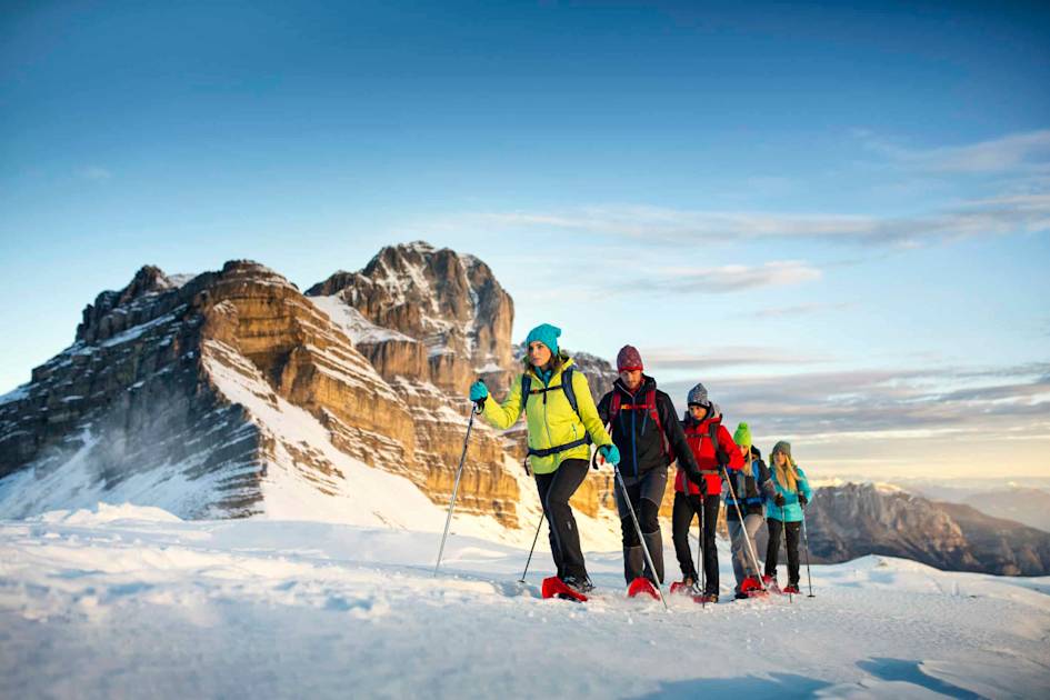
Begin at Rifugio Malga Ra Stua and cross the Alpine pastures before following the Val Salata through the forest, quickly gaining altitude. Emerging above the trees, you’ll catch a glimpse of the rugged Seekofel Mountain (2,810m/9,219ft), one of the most photographed views in the Dolomites. From here, you’ll join the Alta Via I hiking path along a vast limestone plateau, mountains rising up on either side. A final descent brings you to the Rifugio Sennes (2,126m/6,975ft), a cosy mountain hut which makes an ideal base for snowy winter walks.
5. Kaiserjäger
- Start/Finish: Lagazuoi cable car (circuit)
- Distance: 4.4 miles (7.1km)
- Duration: 4-5 hours
- Difficulty: Challenging
- Best for: a first via ferrata
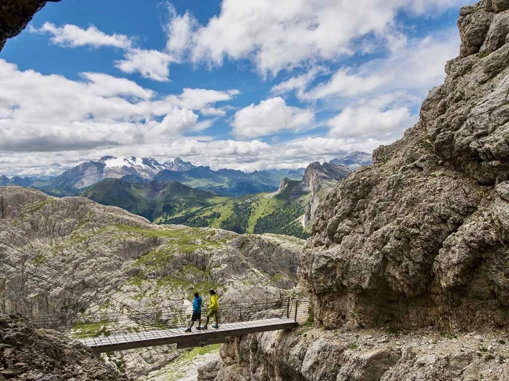
The Kaiserjäger (which translates as ‘Emperor's hunters’) is a path built by Austro-Hungarian troops during World War I. It was used to access the gun emplacements high on the summit of Mount Lagazuoi during their fight against the Italians. Hike it today and you’ll see well preserved trenches and emplacements – as well as getting a chance to try a via ferrata along the route.
Follow the trail marked 402 from Lagazuoi as it zigzags sharply up a scree slope, where you’ll see the remains of the Italian and Austro-Hungarian trenches. Towards the top, you’ll navigate a via ferrata running along a series of ledges – make sure you’re geared up with harnesses and helmets to undertake this, as well as having an experienced guide with you.

You’ll cross a 10m long, 25m high suspension bridge which emerges onto an exposed ledge – the hardest part of the via ferrata. At the end, you’ll step out onto a steep path, which leads to the summit of Mount Lagazuoi (2,772m/ 9,094ft) and spectacular panoramic views of the Dolomites. The austere granite mountain is an ‘open air museum’ of rock pinnacles, rock towers and remnants of its time as a military base. There’s also a popular refugio where you can stop for lunch.
There are various ways to return to your start point (including taking a cable car, for those looking to do a more moderate hike). But we recommend descending via the war tunnel, which is around 0.6 miles (1km) long, dark (bring a headlamp) and very steep, with an iron chain as a handrail. You’ll see the remains of machine gun posts and observation points, dramatically lit by your torch light, before emerging into a rocky cave. Once you’re back on the surface, rejoin the 402 trail to return to your start point.
6. Torre dei Scarperi Circuit
- Start/Finish: Antoniusstein car park (circular)
- Distance: 8.3 miles (13.5km)
- Duration: 5-6 hours
- Difficulty: Challenging
- Best for: views of the Tre Cime di Lavaredo
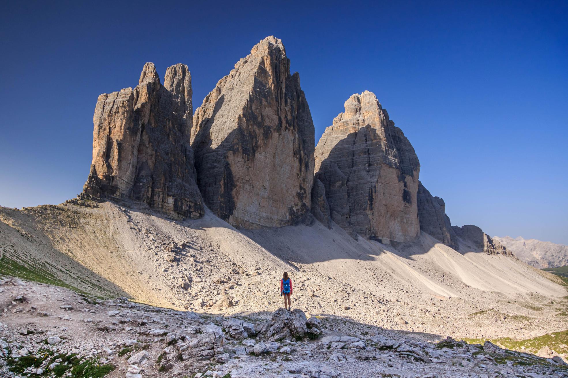
A ‘lollipop’ hike through the Sesso Dolomites, serving up panoramic views of the Tre Cime di Lavaredo rock formation. You’ll begin by following a clear path through boulder-strewn meadows to Rifugio Tre Scarperi and continue south along the valley floor. The second fork in the path takes you up to Passo Grande dei Rondoi, where you’ll climb a small via ferrata up onto a path leading up a grassy slope - with amazing views of the Tre Cime.
Hike east uphill, passing underneath the Torre dei Scarperi until you reach a hill-crest. You’ll descend to Passo Alpe Mattina (2,360m/7,742ft) and scramble up a gully before following signs back to Rifugio Tre Scarperi and completing the circuit.
7. Val di Canzoi
- Start/Finish: Preton (circuit)
- Distance: 5.4 miles (8.6km)
- Duration: 3-4 hours
- Difficulty: Moderate
- Best for: Lakeside strolls
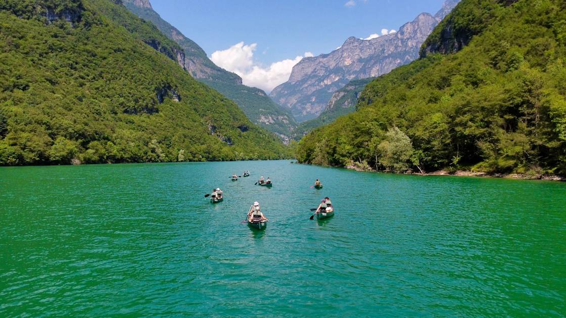
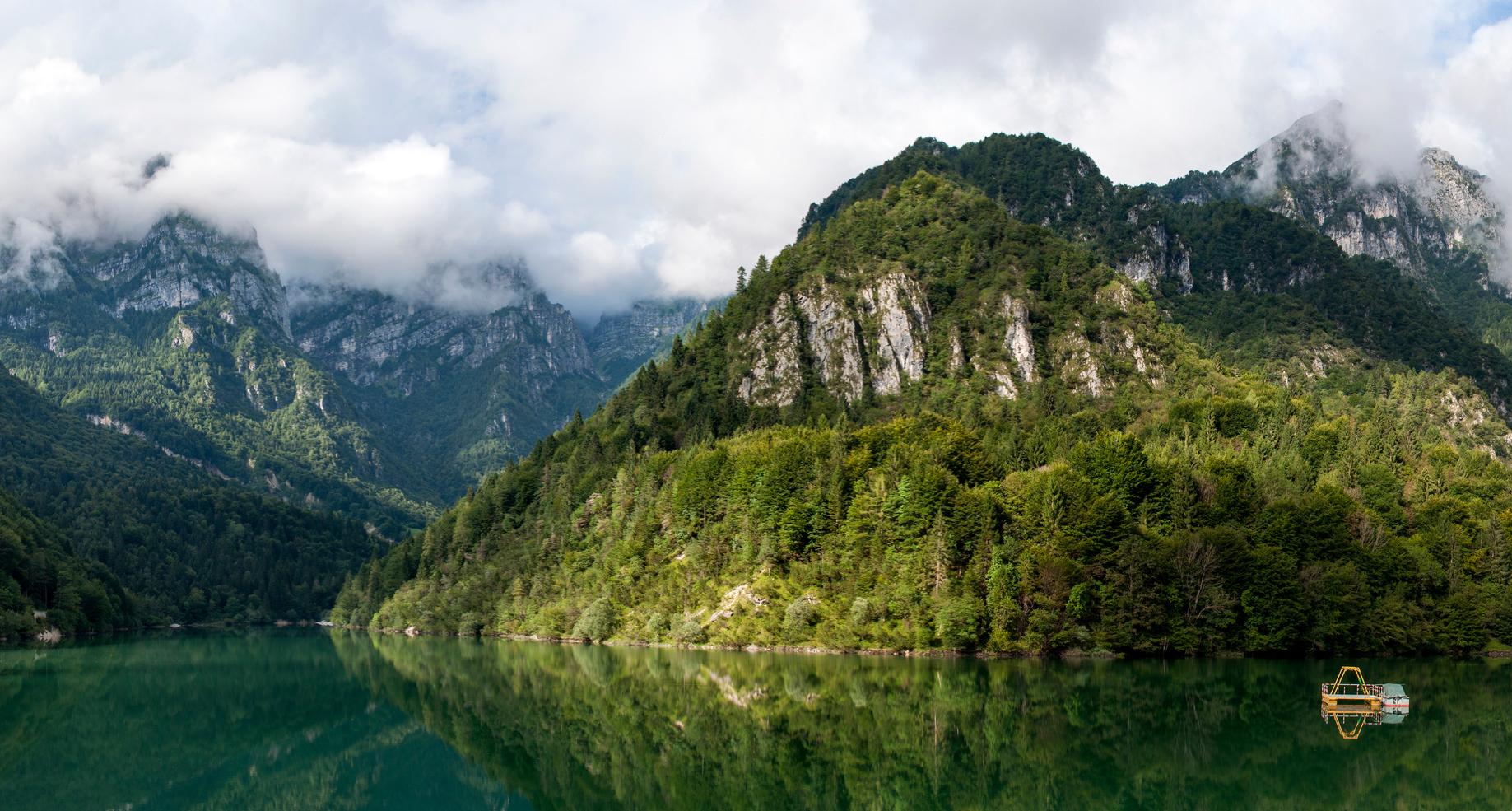
You’ll be hiking through the Val Canzoi, a beautiful valley of woodlands, meadows and meandering rivers, on an easy circuit around the Lago della Stua, a turquoise lake fringed by forested mountains. This is one of the better known hikes in the Dolomiti Bellunesi National Park.
Beginning in the picnic area known as Preton, you’ll follow an easy path across a small bridge and through beech woodland, passing several dilapidated farming buildings along the way. Eventually you’ll reach Lago della Stua, and will continue on a circular route around it, reentering the woodland until you emerge on the other side of the valley for a panoramic view point. After this, the path emerges onto meadow, where you’ll see more rural buildings, before returning to the start point.
8. Alta Via I
- Start/Finish: Lago di Braies/ Belluno (point to point)
- Distance: 72 miles (115km)
- Duration: 6-10 days
- Difficulty: Challenging
- Best for: An introduction to multi-day hiking in the Dolomites
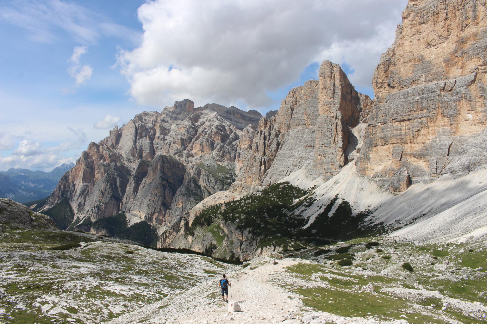
There are eight alta vias (or ‘high routes’) in the Dolomites Alta Via I is the most popular, and is regularly cited in lists of the best hikes in Italy. It takes you from the Lago di Braies in South Tyrol to Belluno, a village in the south of the Dolomites, via lush alpine meadows and jagged limestone peaks.
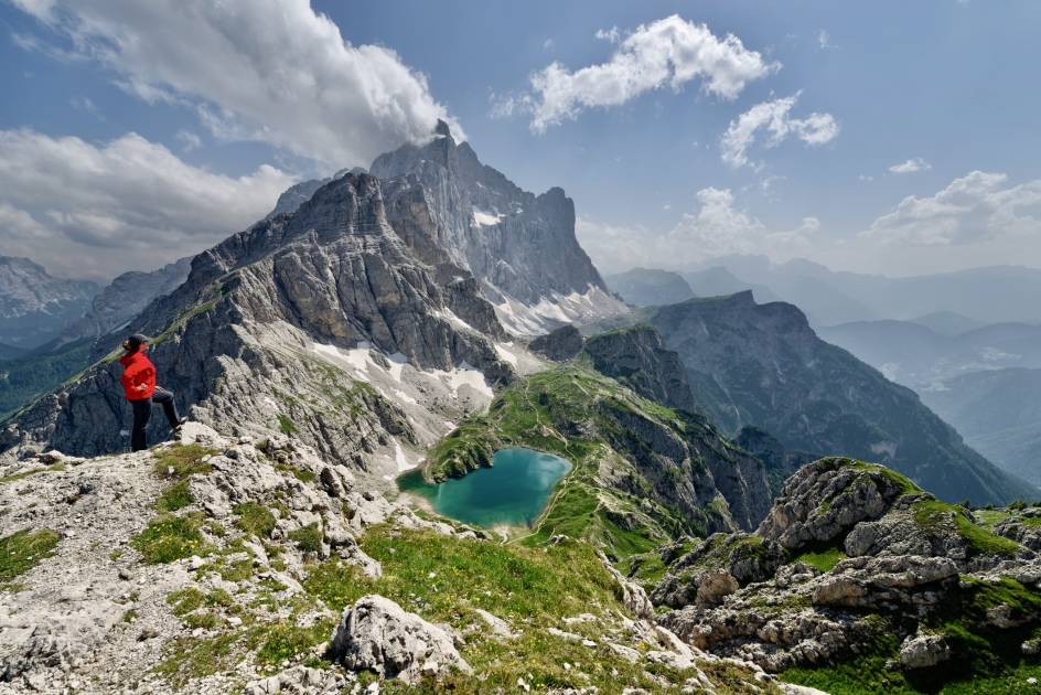
Lago di Braies makes for a photogenic start point - a turquoise lake surrounded by a rugged rock ampitheatre. As hikers follow the trail upwards, you’ll be treated to views of peaks such as Croda del Becco and Tofana di Rozes.
You’ll hike through the Fanes-Sennes-Braies Nature Park – known for its otherworldly karst landscapes – as well as passing the iconic Cinque Torri rock formations. As you hike further south, these lunar landscapes are replaced by the undulating green hills and forests of the southern Dolomites.
The Alta Via I is well maintained and well marked, with hundreds of refugios, guesthouses and campsites you can stay at along the way. The trail is popular with both day hikers and thru-hikers and gets busy during the holiday months of July and August – so we’d recommend hiking outside this time of year if you can.
9. Alta Via II
- Start/Finish: Bressanone / Feltre (point to point)
- Distance: 108 miles (174 km)
- Duration: 10–14 days
- Difficulty: Tough
- Best for: An adventurous alternative to Alta Via I
The Alta Via II is a high-altitude trek through the western Dolomites, offering a more rugged and technical experience than its sister trail, Alta Via I. You’ll navigate high passes and steep scree slopes, as well as tricky via ferratas (climbing routes with metal rungs and cables for you to bolt into). A high level of physical fitness is required, and we wouldn’t recommend undertaking it without a guide.
Starting in the northern town of Bressanone, you’ll head southwards towards the Odle Group of jagged limestone peaks, where you’ll find steep ascents and descents, with fixed cables in some areas. Heading south, you’ll reach the lunarlike Puez Plateau, where there are several more via ferrata to help you over more exposed areas.

The trail weaves through the imposing Sella Massif, where you’ll find some of the most dramatic and technical via ferrata sections along the route. It descends the Passo San Pellegrino into lush Alpine meadows – a welcome respite after the rugged northern sections. But don’t relax just yet, because the traverse through the vast Pale di San Martino plateau takes you through a labyrinth of rock towers and cliffs, with several memorable via ferrata sections.
The southern section of the Alta Via 2 is much more peaceful, taking you through the undulating hills and forested slopes of the Vette Feltrine. You’ll finish the hike in Feltre, a medieval town with cobbled streets.
10. Anello delle Dolomiti Friulane
- Start/Finish: Rifugio Padova (circular)
- Distance: 21.7 miles (35 km)
- Duration: 3-4 days
- Difficulty: Challenging
- Best for: A multi-day circuit without the crowds
This hut to hut circuit takes you through the limestone peaks of the Dolomiti Friulane, a compact mountain chain in the east of the Dolomites, which see far fewer visitors than the central massif. However, it’s for experienced hikers only, with some steep ascents up sheer limestone slopes.
Beginning at Rifugio Padova, you’ll head upwards through beech and pine woodland, before climbing a scree slope to the top of Forcella Scodavacca (2,043m/6,702ft). Descend to Rifugio Giaf where you can spend the night. Stage two is a day spent ascending and descending high passes, the highest being Forcella dell’Inferno (2,175m/7,135ft). You’ll follow the Truoi da Sclops, the ‘gentian way’; which takes you across mountain flanks speckled with flowers. Sleep at Rifugio Flaiban-Pacherini.
On the third day, the path upwards soon becomes a near-vertical scramble to reach Passo del Mus, before descending through pretty deciduous woodland studded with natural pools to Rifugio Pordenone. The final day completes the ‘anello’, crossing scree valleys to Rifugio Padova – you’ll complete 1,300m (4,265ft) of ascent and 1,200m (3,937ft) of descent across the day.
When is the Best Time to Hike in The Dolomites?
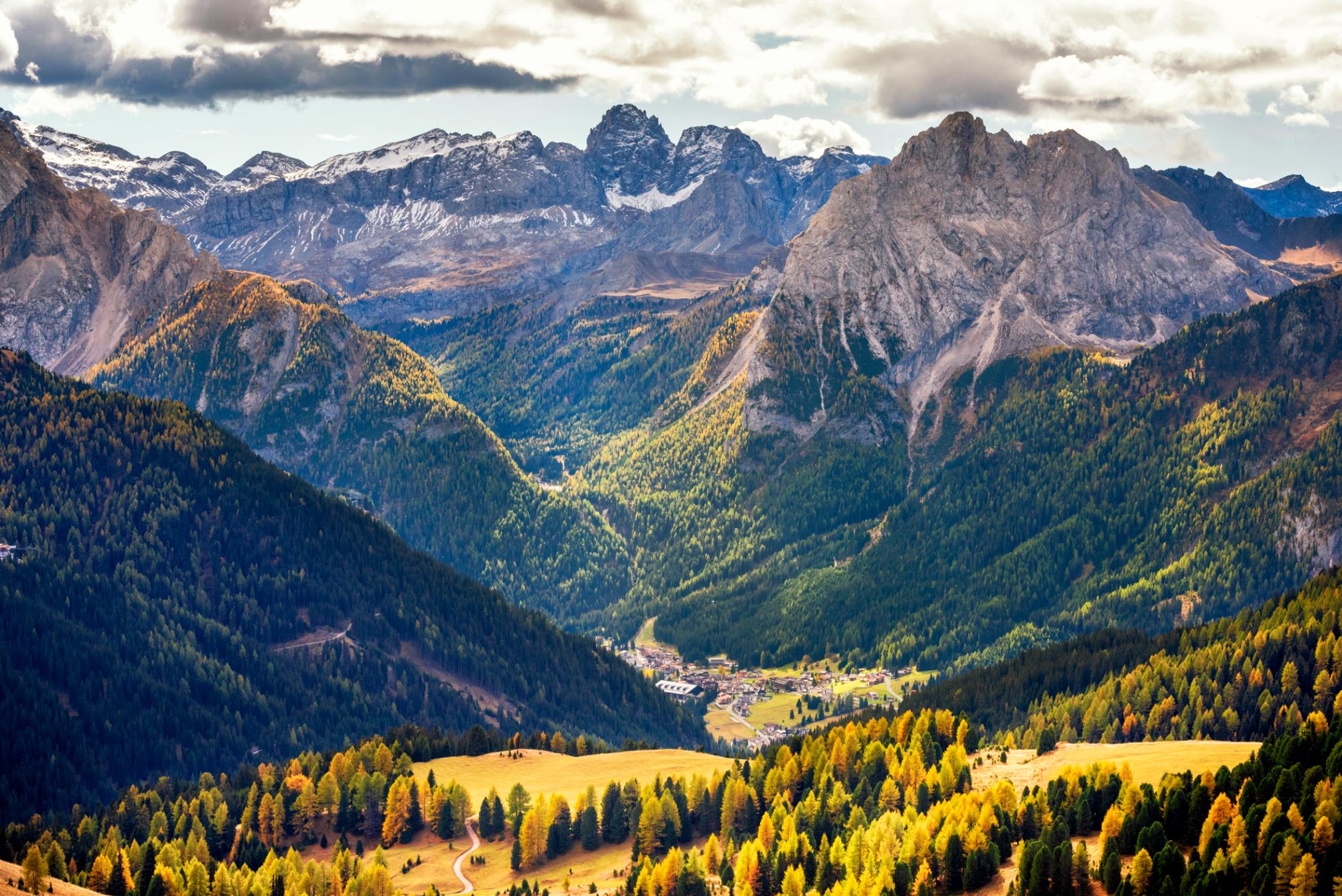
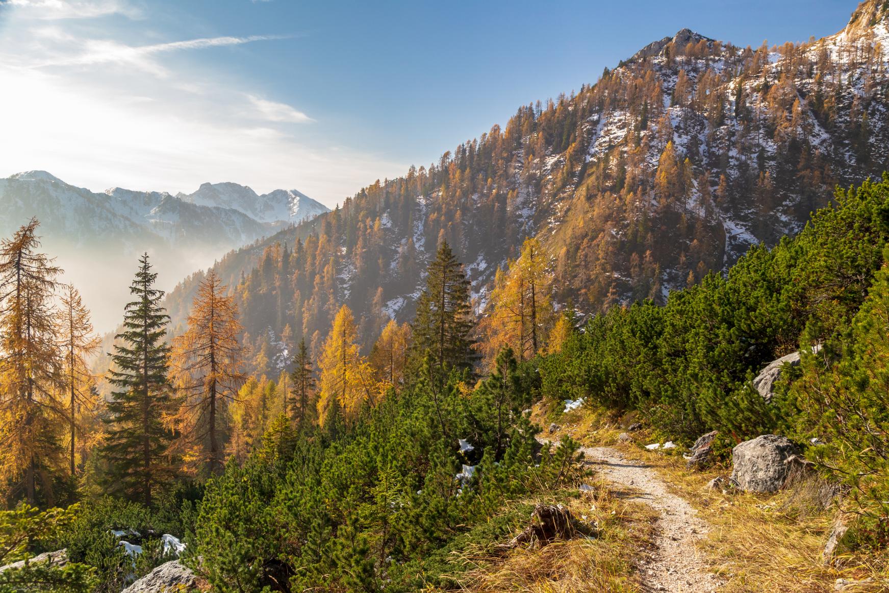
The main hiking season in the Dolomites takes place between June and September. This is when the mountain huts and high trails are all open. In June, snow begins to melt, and alpine flowers bloom at lower elevations. August is peak season, with the best weather conditions – consequently, trails and huts are crowded so book in advance. By September, temperatures are beginning to cool, but you’ll experience fewer crowds and vibrant autumn foliage.
However, it is possible to hike in the Dolomites all year round at the lower elevations - as long as you’re prepared for less settled weather (and for the higher elevation huts to be closed). We like visiting the Dolomites during the winter months, when the craggy limestone peaks are often carpeted in snow.
What Animals Live in The Dolomites?
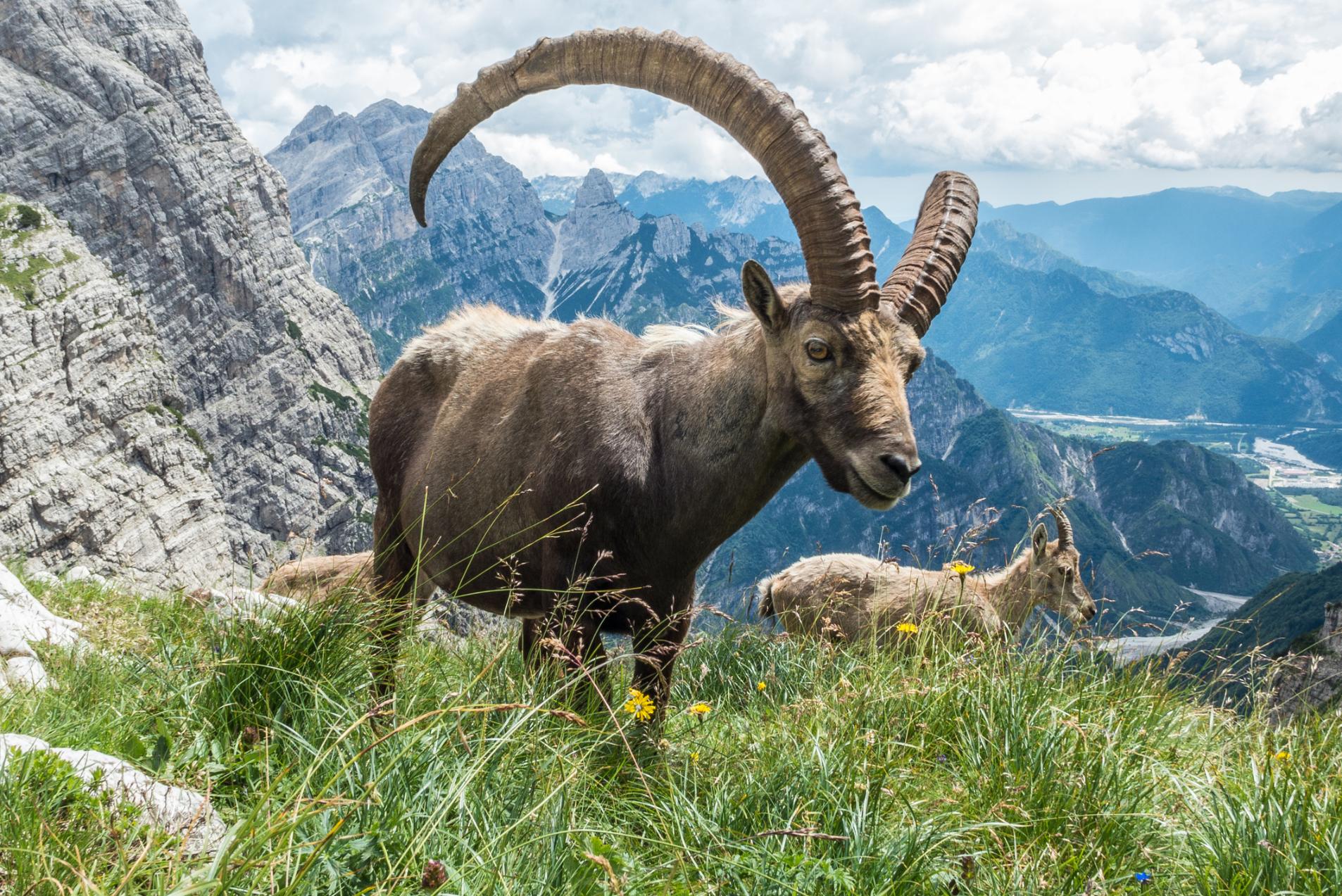
The Dolomites are home to a diverse range of wildlife adapted to the alpine environment. Chamois and ibex can often be seen on the rocky slopes, while red deer roam the forested lower regions. Reptiles such as the European adder and amphibians like the Alpine salamander thrive in the rugged terrain.The skies above the Dolomites are frequented by golden eagles, alpine choughs, and snowfinches among others.
Where to Stay in the Dolomites
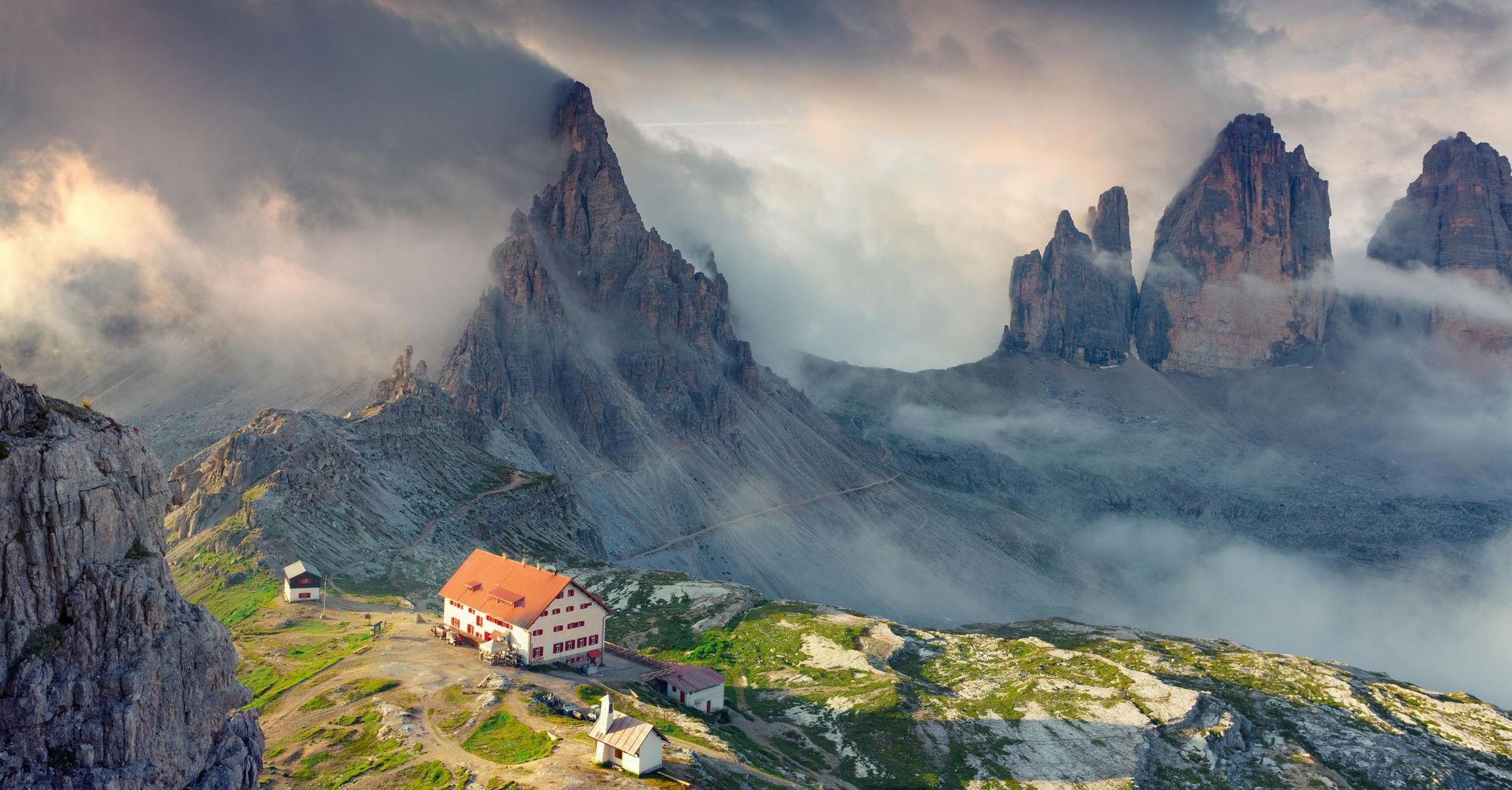
There’s a wide variety of accommodation in the Dolomites for hikers, ranging from campsites and mountain refuges (refugios) to more upmarket hotels. Most people on multi-day hikes, such as the Alta Via I, will stay at refugios, which offer budget dormitory accommodation in family-run huts. There are more than 1,000 refugios dotted across the Dolomites, making it easy to plan a hut to hut hike. Although the accommodation might be basic, the mountain views are anything but – and the hearty dishes at the end of the day are a special highlight.
If you’re planning a series of day hikes, there are a number of picturesque villages where you can base yourself. The mountain village of Arraba is located near many of the hiking routes featured in this guide, but there are plenty of other options.
What to Eat in The Dolomites?
In the Dolomites you’ll find a lot of Ladin cuisine, the traditional food of the Ladin people, an ethnic group native to the Dolomites and northeastern Italy. This includes dishes like turtres (cottage cheese, spinach or cabbage filled pasties) and canederli (bread dumplings with speck).
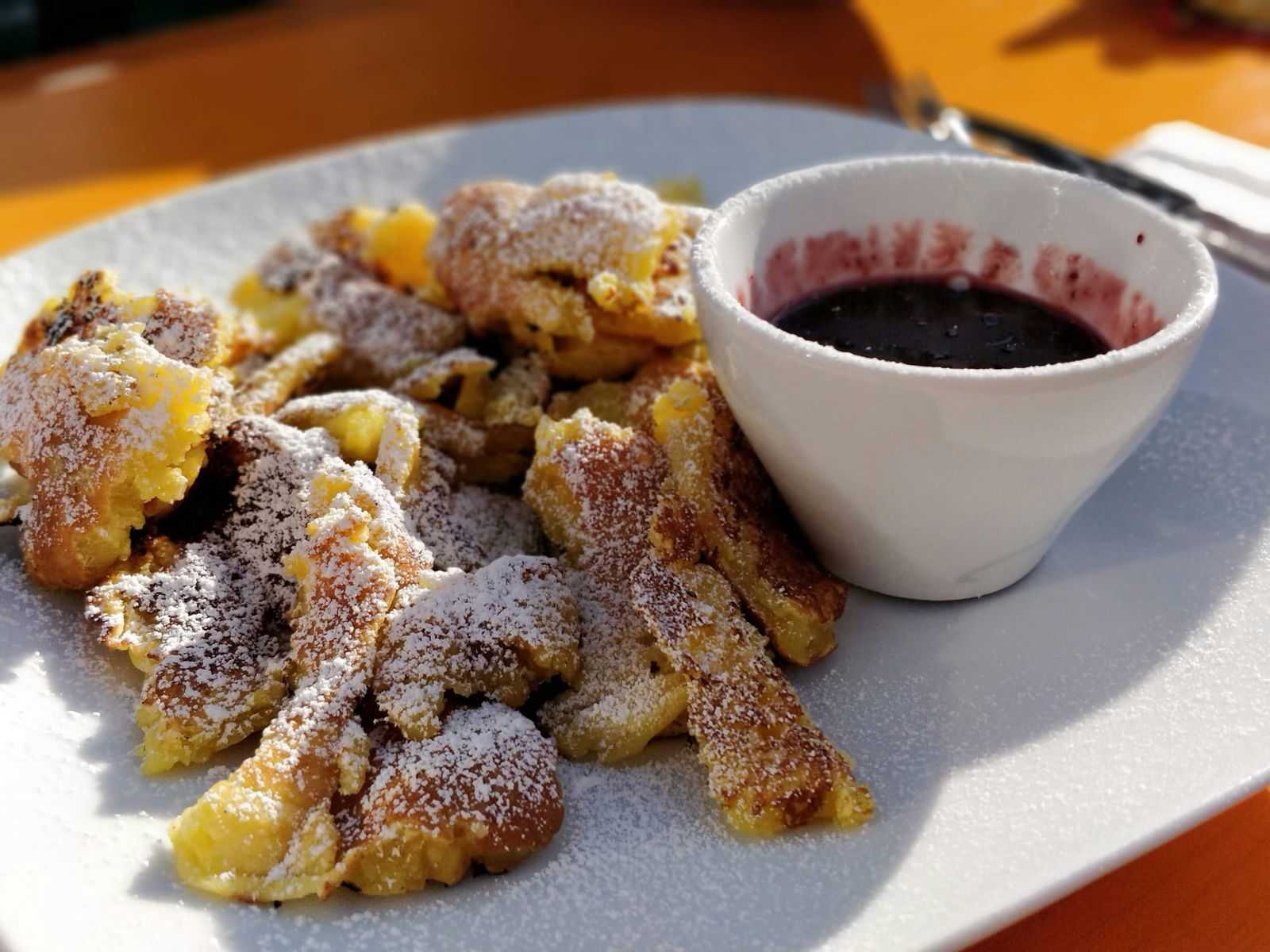
You’ll also find a blend of Austrian and Italian flavour. This is because the Italian province of South Tyrol (where the Dolomites are located) was once part of Austria. Look out for gnocchi made with smoked cheese or pumpkin and kaiserschmarrn, sweet shredded pancakes served with fruit compote.
How to Get To (And Around) The Dolomites?
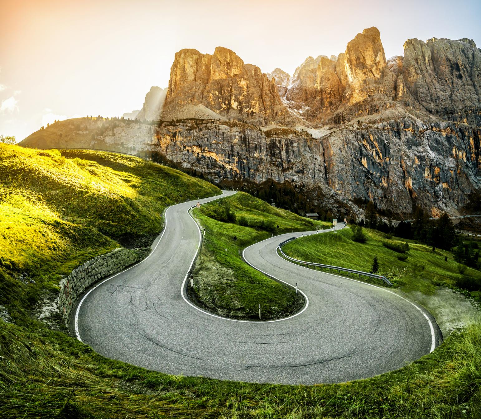
The nearest airports to the Dolomites are Venice Marco Polo Airport (there’s also Venice Treviso, served by budget airlines such as Ryanair), Verona and Innsbruck (for the Lienz Dolomites in Austria). There are several bus services, such as the Cortina Express, which can take you from Venice to Cortina, but for more flexibility on time and destination we’d recommend booking a group transfer or hiring a car – it takes around two and a half hours to drive from Venice to Arraba, for example.
There’s a good network of local bus services with the Dolomites, run by Dolomitibus and Val Gardena. Services are less frequent outside the peak season (June to September).
Inspired? Check out our adventures in Italy, including Hut-to-Hut Trekking in the Italian Dolomites, and Hike the Italian Dolomites: The Hotel Edition.


