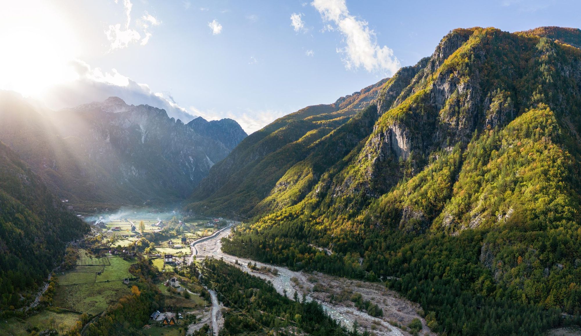
The Balkan Peninsula is where dramatic, high-rising mountains meet sparkling coastline, deep gorges, valleys and some of Europe’s wildest rivers.
Outdoor tourism is thriving in the Balkans today as people become aware of all that beautiful scenery, but that’s a recent phenomenon. Of course, the history and heritage of the Balkans is complex, and often dark - but there’s no better way to discover the bright future of this region, and to understand that past, than to walk through the areas of outstanding natural beauty found here in abundance.
World-class trail development has led to some of Europe’s finest walking routes now being found in this varied region.
Today, long-distance trails criss-cross borders which only a few decades ago would have been military vantage points.
World-class trail development has led to some of Europe’s finest walking routes now being found in this varied region. The Peaks of the Balkans trail has seen a rapid growth in interest (as has Albania more generally) in the past decade, and the Via Dinarica mega-trail, which connects Slovenia, Croatia, Bosnia and Herzegovina, Montenegro, Serbia, Kosovo and Albania is universally acclaimed.
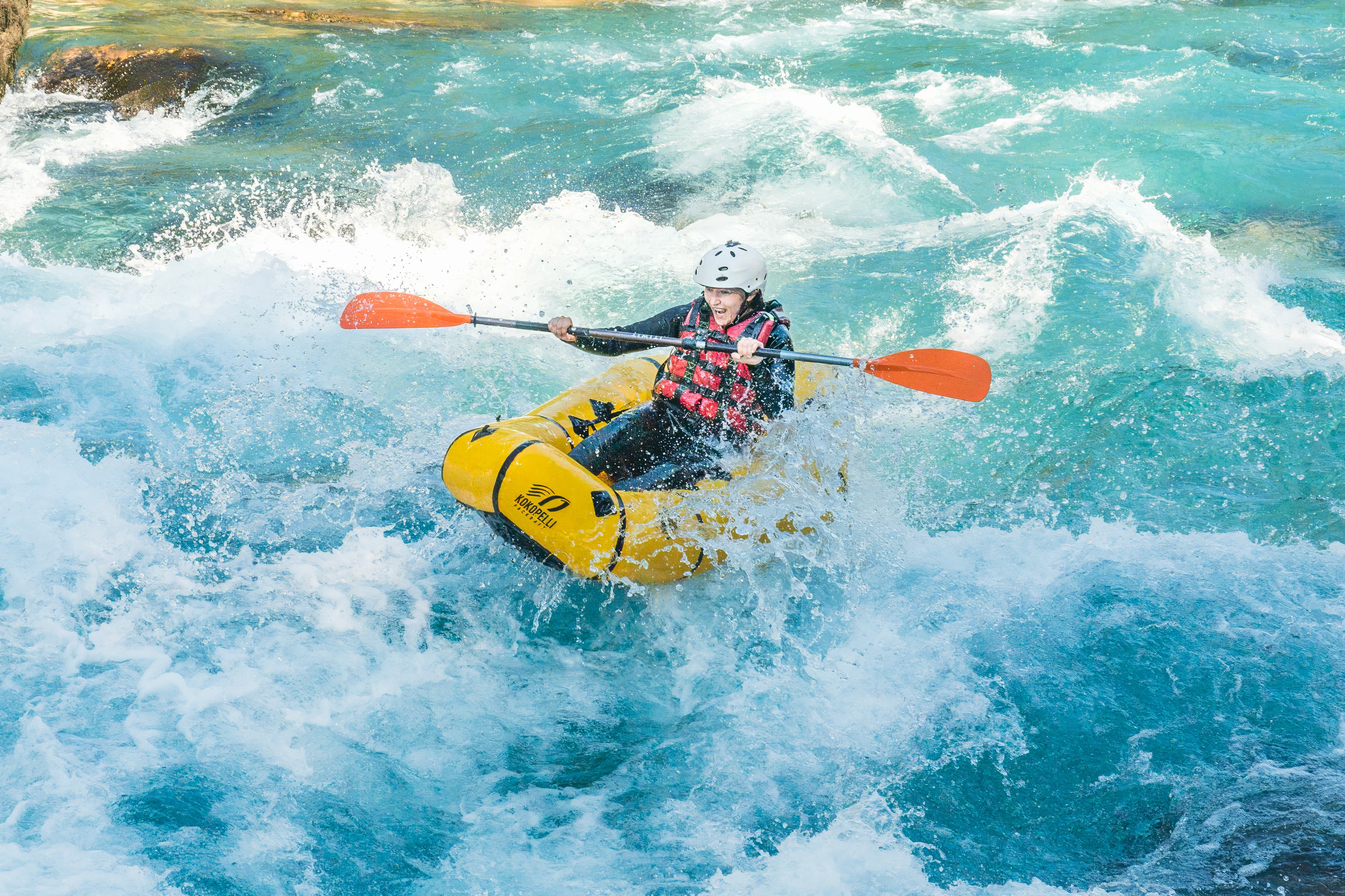
Today, the infrastructure is in place to support hikers looking to explore the Balkans - from the mountain huts to the waymarking and the walking trails themselves. And though the area is getting increasingly popular, there are still so many hiking routes here which feel unspoiled; like they exist outside of time.
These are the 10 hikes we’ve selected as the best in the Balkans. There are five long-distance walks, requiring multiple days, and five day hikes or climbs.
- The Via Dinarica Trail (multiple)
- The High Scardus Trail (multiple)
- The Southern Coastal Trail (Albania)
- The Crnogorska Transverzala 1/CT-1 (Montenegro)
- The Peaks of the Balkans Trail (multiple)
- Mount Olympus (Greece)
- Umoljani to Lukomir (Bosnia and Herzegovina)
- Climb Bobotov Kuk (Montenegro)
- Climb Mount Maglić (Bosnia and Herzegovina)
- Climb Musala (Bulgaria)
Here are the best hikes in the Balkans, with a short route description.
The Best Hikes in the Balkans: Mapped
Here, we’ve marked the starting points for each of the 10 hiking routes featured in this list. We appreciate that for a trail like the Via Dinarica which stretches roughly 1,200 miles (2,000km) and spans a full seven countries - this isn’t particularly useful, but it gives a quick insight into the spread of the other treks.
Long-Distance Trails in the Balkans
1. The Via Dinarica Trail
- Start Finish: Razdrto, Slovenia/Valbona, Albania
- Length: 1,200 miles (2,000km)
- Days: 50-60 days +
- Difficulty: Challenging
- Countries: Slovenia, Croatia, Bosnia and Herzegovina, Montenegro, Serbia, Kosovo, and Albania
The Via Dinarica is the Balkans’ mega trail, stretching from Slovenia to Albania and Kosovo, and visiting a whole plethora of countries in between.
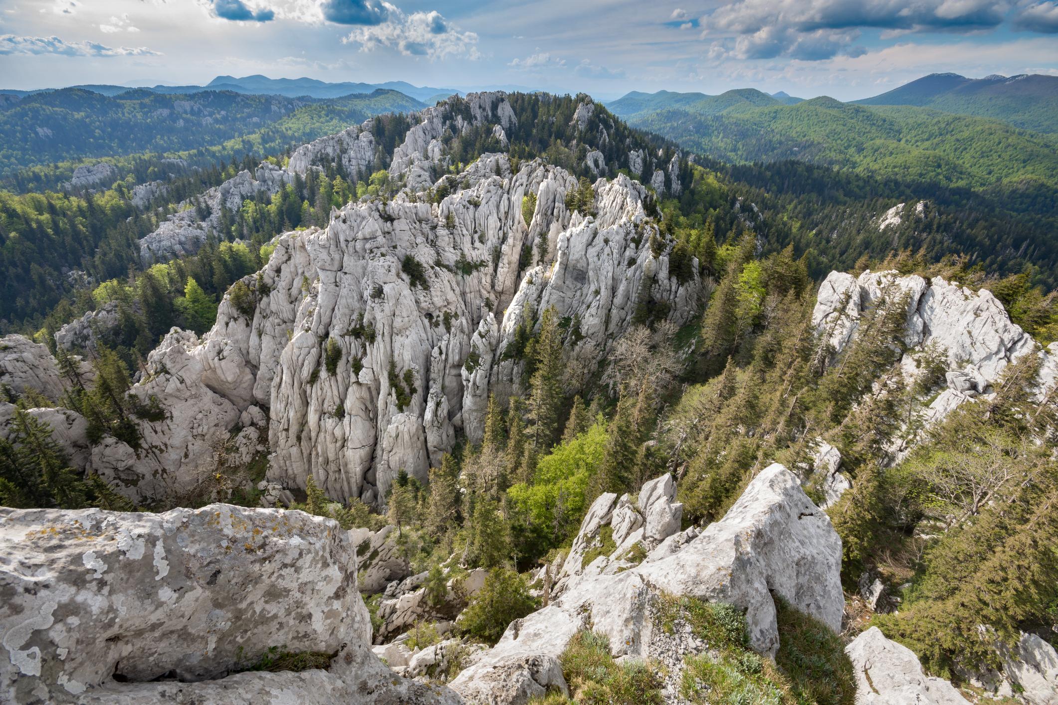
There are actually several different routes under the umbrella of the ‘Via Dinarica’, the green, blue and white - but the White Trail is the main route. It follows the natural flow of the highest peaks of the Dinaric Alps, and includes the highest peak in each of the seven countries that it passes through, making it the feat of a lifetime to complete. While the route is primarily designed for hiking, there are also world class rafting and mountain biking routes along the way.
You’ll see the beauty of the Albanian mountains and coastlines, hike through the Velebit National Park in Croatia, walk the Prenj mountains...
The concept of the Via Dinarica was inspired by Croatian hiker Gordan Papac. A frequent hiker in the Dinaric Alps, he began uploading his routes and photos online. This single man became the internet’s main source of information on hiking in this little-visited area. From there, ecotourism development projects, including from the UN, got involved, and by 2013, there was a full-length, draft route in existence which would go on to become one of Europe’s great walks.
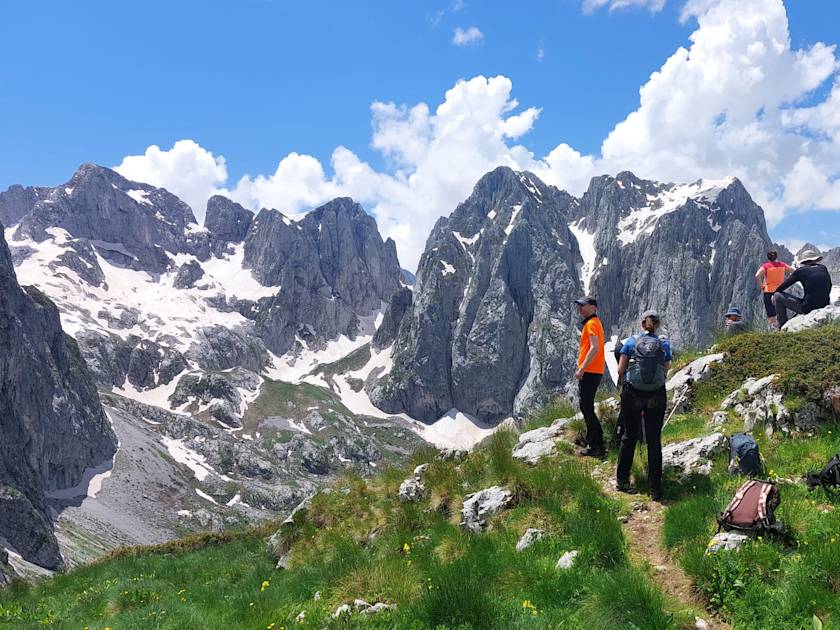
It’s almost impossible to pick out singular highlights on a route this all-encompassing, but you’ll see the beauty of the Albanian mountains and coastlines, hike the Velebit National Park in Croatia, walk the Prenj, Cabulja and Cvrsnica mountains of Bosnia and criss-cross the border of Montenegro and Kosovo. You’ll hike the Sharr mountains in Macedonia, visit the UNESCO-protected Durmitor National Park and experience the jaw-dropping beauty of the Slovenian Alps, lakes and gorges.
A lot of the ‘day hikes’ in this list are also included in the Via Dinarica mega trail.
2. The High Scardus Trail
- Start/Finish: Staro Selo/Sveti Naum, Ohrid Lake
- Length: 225 miles (362km)
- Days: 20 days
- Difficulty: Challenging
- Countries: North Macedonia, Kosovo, Albania
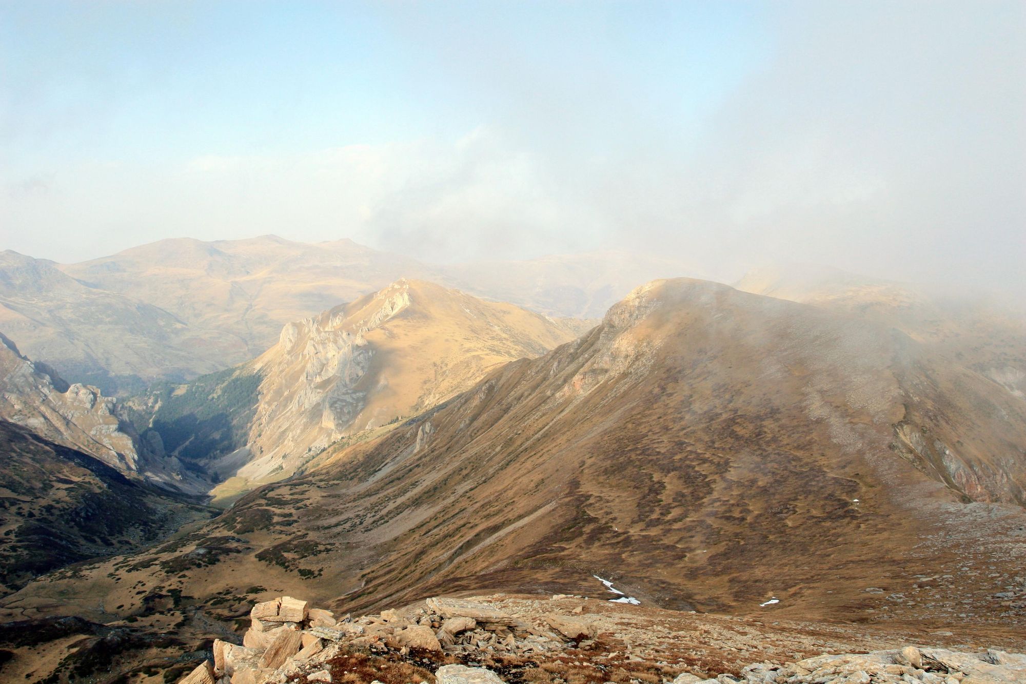
The High Scardus Trail starts and finishes in North Macedonia, but weaves in and out of Kosovo and Albania along the way. It’s a 20-stage route, but that can be broken down into shorter itineraries for those who are looking to sample the trail, but who do not have the time to walk it all.
“It’s 80% in Kosovo and Macedonia and 20% in Albania,” says Uta Ibrahimi, a Kosovar mountain guide who was involved in the creation of the route. “We used a lot of old trails and connected them. The idea is to spend time in each of the countries involved - so you spend one night in Macedonia, then the next in Kosovo. You go through very diverse terrain.”
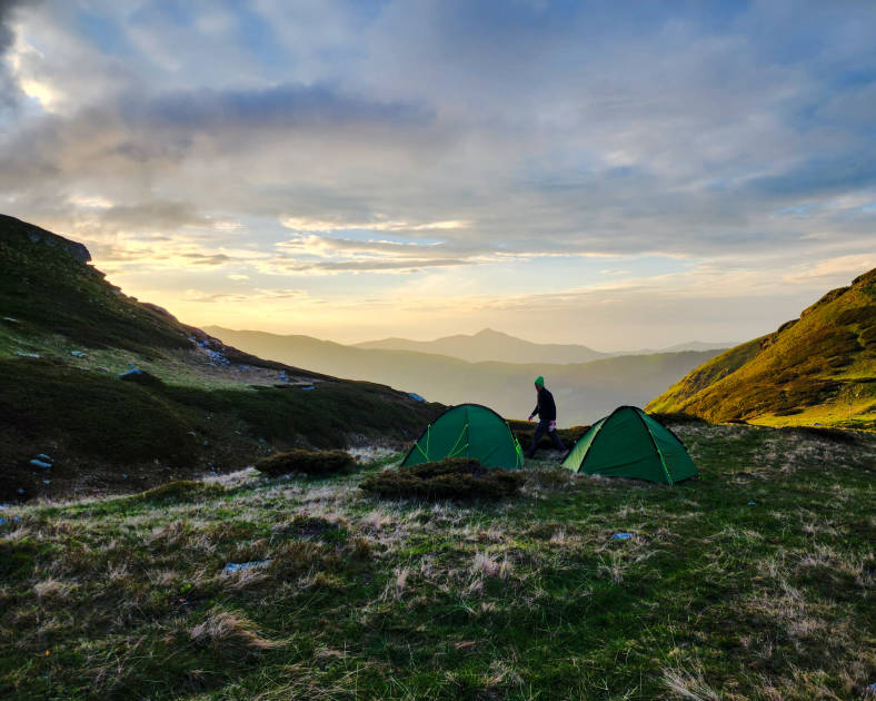
Starting in the picturesque village of Staro Selo, this route will take you through the Sharr Mountains. “There is a lot of deep, very old forest,” says Uta. “It’s still very unspoiled”. You’ll criss-cross the border on ridgelines which were military vantage points during the Kosovo War.
Other highlights include ascending Mount Korab, which at 2,764m (9,068ft) is the highest mountain in both Albania and North Macedonia, and walking through the Galicica National Park. The UNESCO-protected water of Lake Ohrid is also on the trail. It's both beautiful and historic - one of Europe's earliest settlements.
3. The Southern Coastal Trail, Albania
- Start/Finish: Dhërmi/Saranda
- Length: 46 miles (74km)
- Days: 6 days
- Difficulty: Moderate
- Countries: Albania
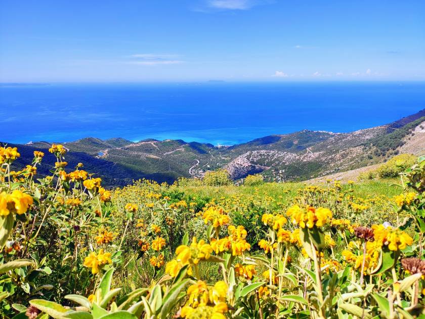
Southern Albania - which looks across the water to Greece - is now becoming well-known as a summer sun destination. In the peak season, the beaches of Livadh and Dhërmi, which are backdropped by mountains, are busy with tourists enjoying the white sand and Ionian Sea. In the shoulder or off-seasons, however, the place is a whole lot emptier - despite the fact that the weather is still good (around 26°C/79F) and the sea is still glimmering in the sunshine.
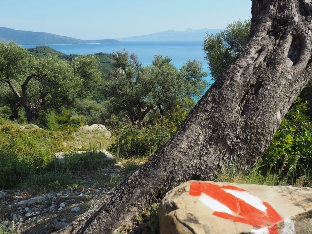
The Southern Coastal Trail is a relatively new off-season route along the Albanian coastline which makes use of that - connecting small, traditional villages with cobbled alleys, olive groves, beaches and mountains on old, quiet goat trails.
“The area is heavily visited in July and August, but it’s almost dead in spring and autumn,” says Ricardo Fahrig, a destination development expert who worked on the trail. “We are a Mediterranean country, so most people associate it with summer. There is a preconception, so people tend to visit mainly in July and August. They are concentrated heavily in these two months. Before June and after September, there is comparatively little going on.”
The trail takes people along the spine of the lush Karaburun Peninsula, up to the summit of Mt. Gjipali (1,446m/4,744ft), with plenty of opportunities for ocean swimming along the way.
4. The Crnogorska Transverzala 1 (CT1), Montenegro
- Start/Finish: Bukumirsko Lake/Žabljak
- Length: 102 miles (164km)
- Days: 7-8 days
- Difficulty: Challenging
- Countries: Montenegro
The Montenegrin Mountain Traverse, also known as the CT1, is a week-long route which runs exclusively through Montenegro. Well known in the Balkans, the trail is still not widely-known elsewhere. It starts at the Zijevo massif, near the Albanian border and next to Bukumirsko Lake, 25 miles (40km) from the capital of Podgorica.
From there, you’ll follow the Komovi massif up to the Trešnjevka Pass. The route goes through Bjelasica to Mojkovac and over mountainous plateaus to Žabljak in the famous Durmitor National Park - providing a thorough exploration of the wilderness of Montenegro, and the lush greenery it is known for.
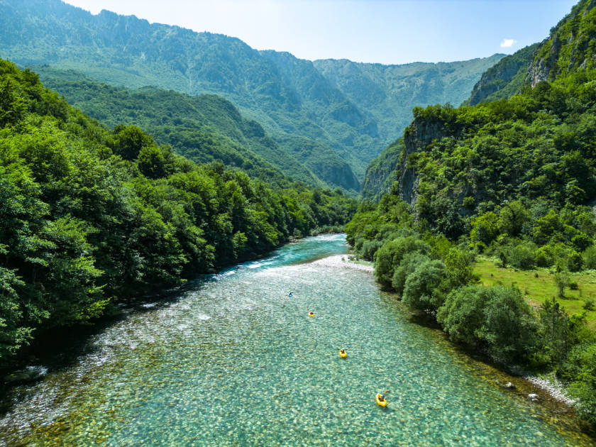
This is a remote route at times, with camping required to complete the whole path, and limited options for buying food. There are also benefits to that - it is a wild, comprehensive way to see the finest scenery that Montenegro has to offer.
The CT1 opened back in 1987, but it became more accessible in 2008 when it was waymarked. Experience in route-finding and navigating with map and compass is still required to walk it, as with all of these trails. This route through the mountains of Montenegro is also used by the longer Via Dinarica trail.
5. The Peaks of the Balkans Trail
- Start/Finish: Various options (circular route)
- Length: 119 miles (192km)
- Days: 10-13 days
- Difficulty: Challenging
- Countries: Albania, Kosovo, and Montenegro
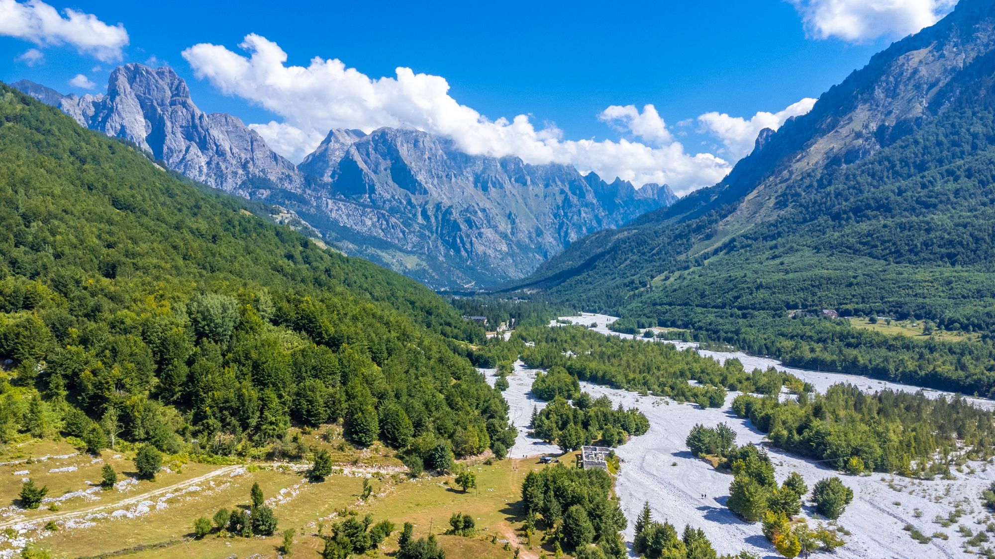
The revered Peaks of the Balkan trail runs through the Albanian Alps, or Accursed Mountains, which straddle northern Albania, southern Kosovo and north-east Montenegro.
This is a route through a high-alpine landscape which reaches up to 2,300m (7,545ft). It runs through the border region in Dobërdol (Albania) and Milishevc (Kosovo) and is a circular trail, meaning it can be started in each of the three countries it runs through. Recommended starting points are Theth in Albania, Plav in Montenegro or in the small town of Pejë in Kosovo.
We thought we would develop the Peaks of the Balkans trail, a route connecting Albania, Kosovo and Montenegro...
The idea for the route developed in the early 2010s.
“Back then, what Albania was missing was point-to-point treks,” says Endrit Shima, a co-founder of the trail. “There were hiking tours already - the classical Theth-Valbona - through popular valleys, but the valleys closeby, across the border or even within the same country, Albania, were getting no-one, because nobody knew about them. So, we thought we would develop the Peaks of the Balkans trail, a route connecting Albania, Kosovo and Montenegro.”
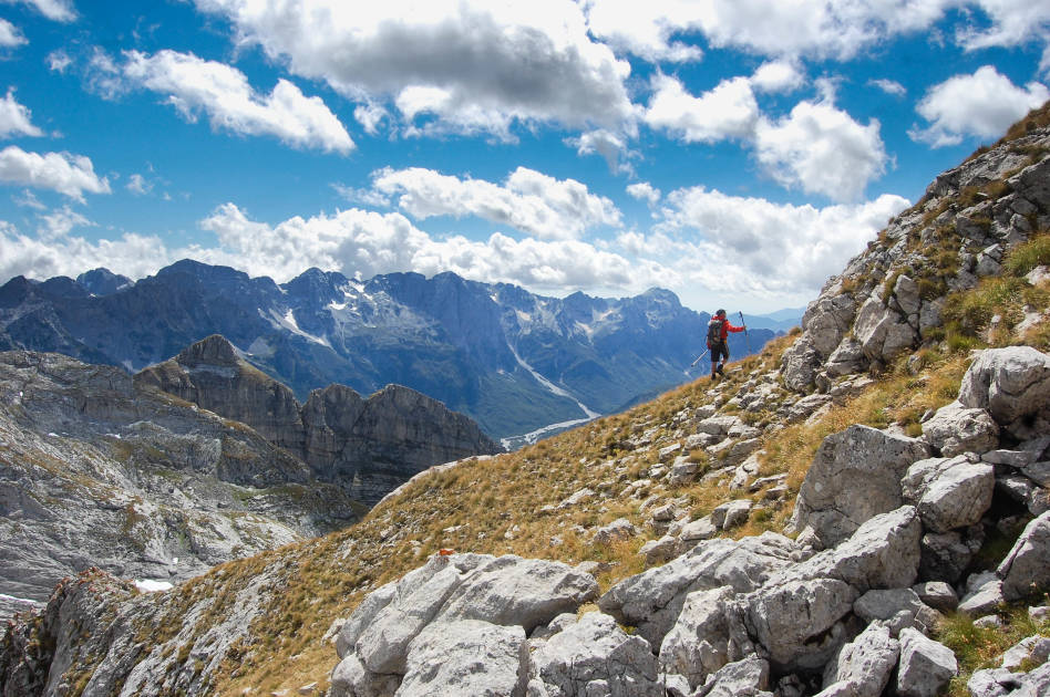
The route has gotten a lot more popular since then, and is almost at capacity now - so it’s a good idea to book ahead if you’re planning to walk the circuit.
Along the way, you’ll enjoy the view from Tomedja (2,366m/7,762ft) - known as the “three countries peak” - as well as the views from the Pejë Pass and the legendary Valbona Pass.
Best in the Balkans: Day Hikes and Mountain Climbs
6. Climb Mount Olympus, Greece
- Start/Finish: Litochoro
- Length: 15.5 miles (25km)
- Days: 2
- Difficulty: Moderate
- Countries: Greece
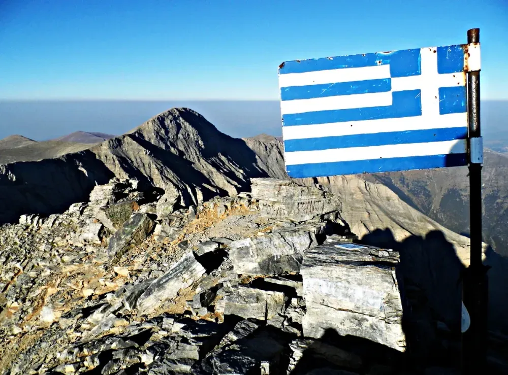
There are an absolute abundance of individual peaks in the Balkans which make for superb climbing - but none have such pull and gravitas as the mythical Mount Olympus. At 2,917m (9,570ft), Olympus is the highest mountain in Greece and one of the world’s most storied places.
"It's a very attractive mountain," says local and mountain guide Athanasios Pitenis. "When you spend time here, around it, you just want to go up. You have the mythology, which makes it so different to other mountains - [it is home to] the 12 Gods and the throne of Zeus, and then the Greek hospitality, the hiking tour and the environment and people here."
We start the day hiking through black pine forest and we overnight in alpine meadows without forest - only high peaks, stones, flowers and the stars around...
An ascent of the mountain, which sits in the north of Greece, is a two-day effort. The first day will last somewhere from six to nine hours, starting at Prionia at 1,100m (3,608ft). From here, you’ll walk through forest terrain until you beat the tree line and emerge to a more exposed, rocky trail.
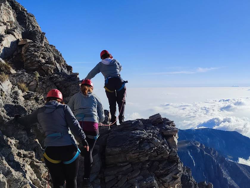
"We start the day hiking through black pine forest and we overnight in alpine meadows without forest - only high peaks, stones, flowers and the stars around," says Athanasios. You’ll spend the night at a mountain refuge before rising early to reach the peak of Olympus the next day.
There are actually various options for climbing to the top of Mount Olympus - as the mountain has 52 peaks. The most common are to climb to Mytikas, the true summit, or to Skolio Peak, just a little bit lower down, but better for those with vertigo (the final section of the climb to Mytikas is categorised as a Class III rock scramble). Whichever option you choose, you’ll have sublime views from the top, out over Aegean Sea and the whole of Greece. You’ll then descend back to the foot of the mountain, passing mountain refuges and pine forest.
7. Umoljani to Lukomir, Bosnia and Herzegovina
- Start/Finish: Umoljani/Lukomir
- Length: 8 miles (12.8km)
- Walking time: 5-7 hours
- Difficulty: Moderate
- Countries: Bosnia and Herzegovina
Olympic Mountain is a popular ski resort in Bosnia, but it’s also dreamy for hikers. Think remote, traditional villages, green grasslands, cliffs and canyons.
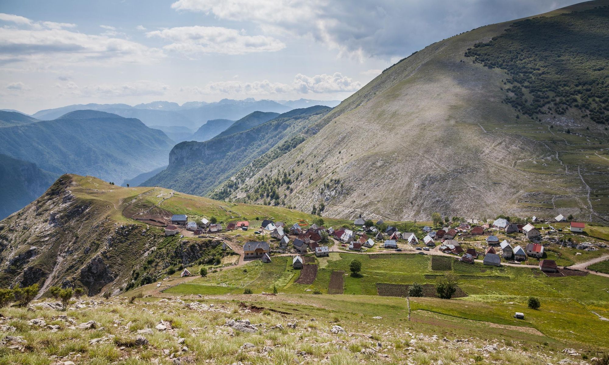
Starting from the village of Umoljani, this hike will take you along the slopes of Orlovac Hill, passing water mills that have been in use for centuries. There’s a cold mountain stream which runs along the trail for a while. You’ll walk across the scenic landscape around Bjelasnica Mountain, slowly ascending to the other side of Orlovac and the valley of the Cold Creek, surrounded by mountains.
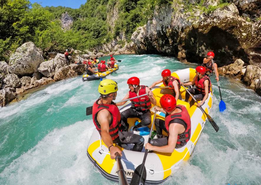
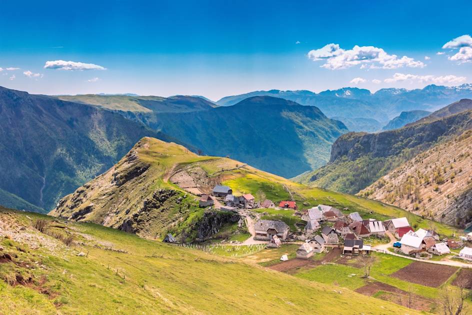
The reason we’ve included this hike comes up next, though - it’s Rakitnica Canyon, which is one of the deepest and most beautiful on the European continent. This inaccessible canyon stretches for 16 miles (26km) between Bjelasnica and Visocica; the sharp edges and steep drops punctuated by shrubberies and trees. Another creek - Cold Creek - lies further on, with a twisting river and Mount Visočica towering over it in the background.
You’ll come to Lukomir above the Rakitnica Canyon. There are a few people who live here year-round, growing vegetables and looking after livestock.
8. Climb Bobotov Kuk, Montenegro
- Start/Finish: Sedlo Pass
- Length: 6.2 miles (10km)
- Walking time: 7-8 hours
- Difficulty: Challenging
- Countries: Montenegro
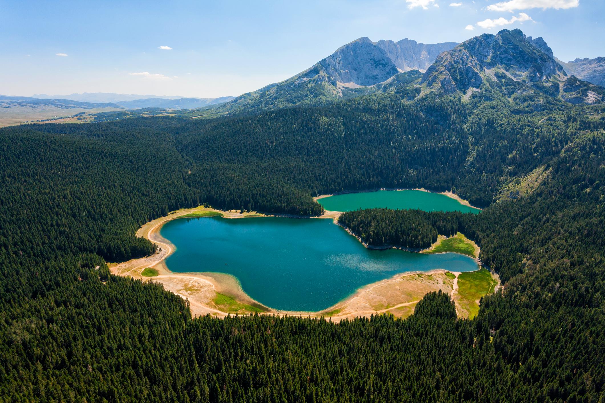
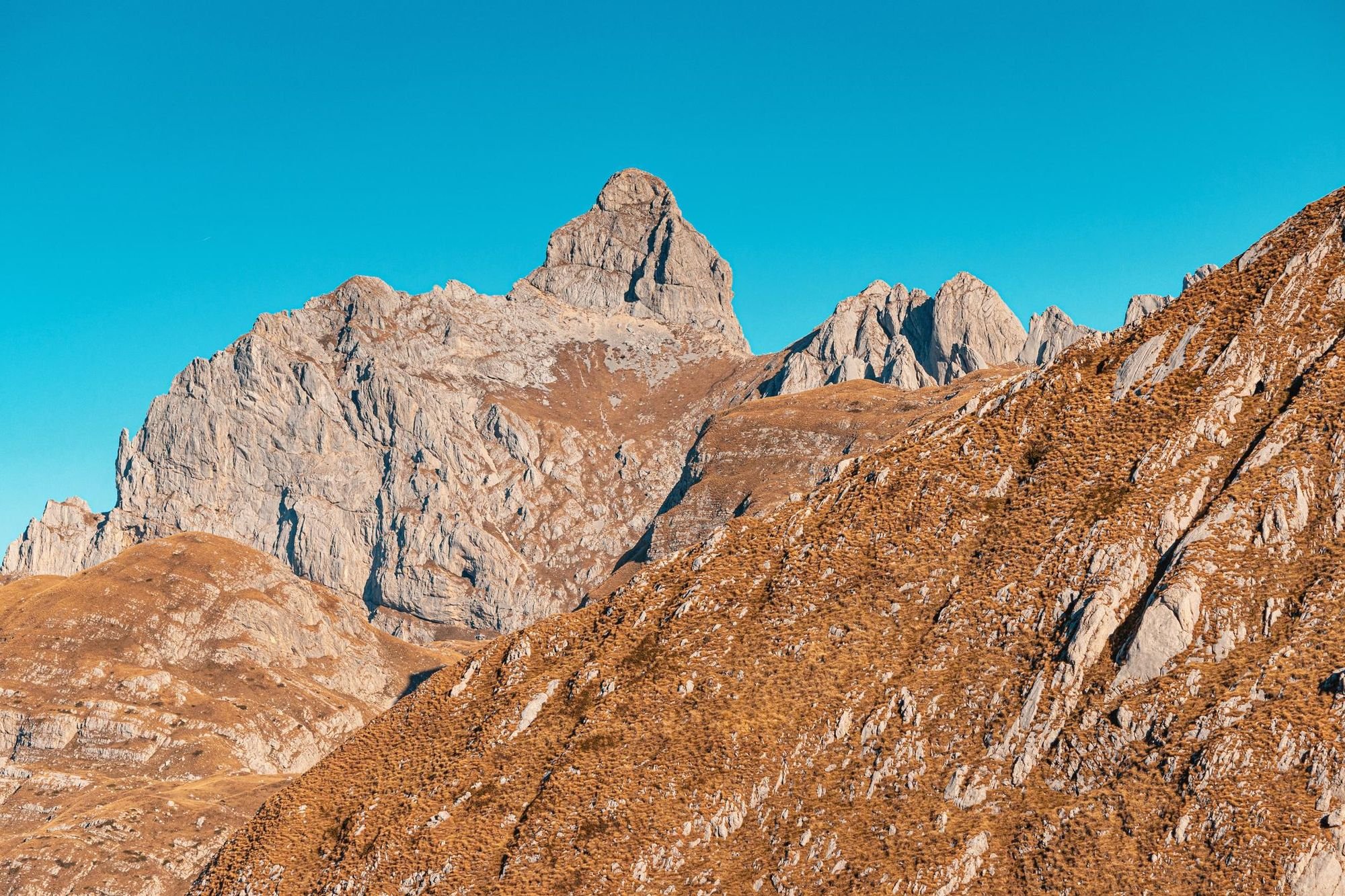
We had to include at least one day hike in Durmitor National Park, which is widely accepted as being a haven for hikers in Montenegro and one of the most beautiful national parks in all of the Balkans. It’s a park which is defined by high, steep, rocky mountains, sublime forest and stunning lakes (Blake Lake, known locally as Crno Jezero, is one of the most beautiful in all of Europe).
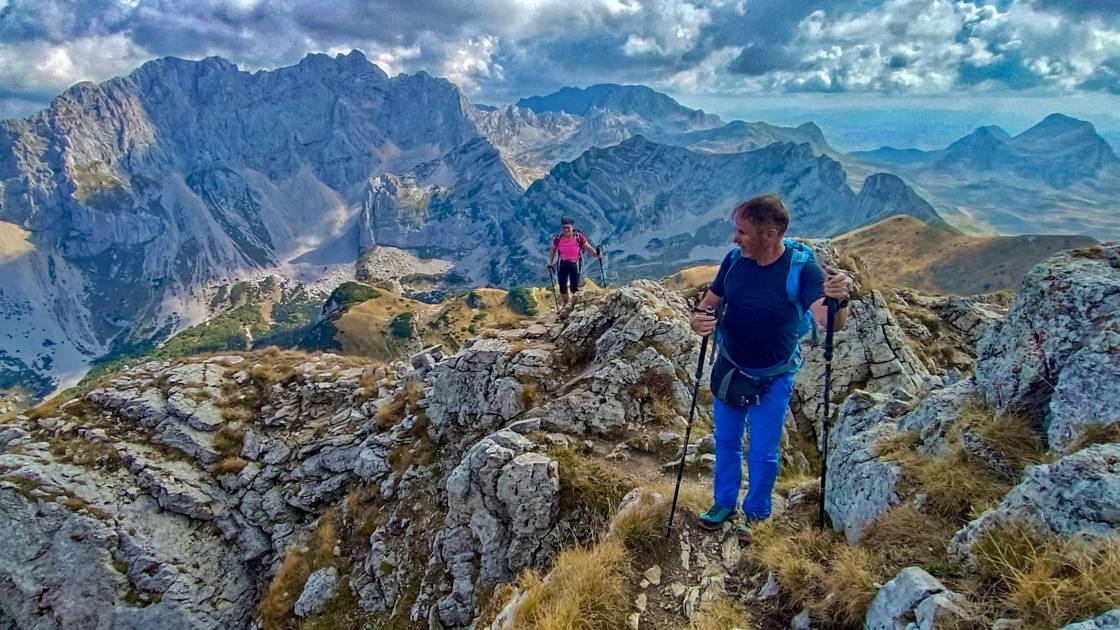
We’ve opted to include a hike up the highest peak - Bobotov Kuk, up at 2,523m (8,277ft) high. You’ll need to rise early to climb it, but the trailhead is already quite high up here, at 1,725m (5,659ft) and the ascent starts on gentle ground.
It’s when you get higher up the mountain that things get more rugged. The summit push itself is a mix of bolted iron-cables, scrambling and sure-footed steps. Things get rather fearsome up the top of the mountain, so do bring your head for heights. From the summit, you’ll have views across Montenegro and all the way into Serbia, Bosnia and Herzegovina, and Albania.
This mountain is considered the highest peak solely in Montenegro, as although Zla Kolata in the Albanian Alps is 11m (36ft) higher, that mountain sits only partly within the Montenegrin border, and is shared with Albania.
9. Climb Mount Maglić, Bosnia and Herzegovina
- Start/Finish: Prijevor
- Length: 10 miles (16km)
- Walking time: 8-10 hours
- Difficulty: Challenging
- Countries: Bosnia and Herzegovina
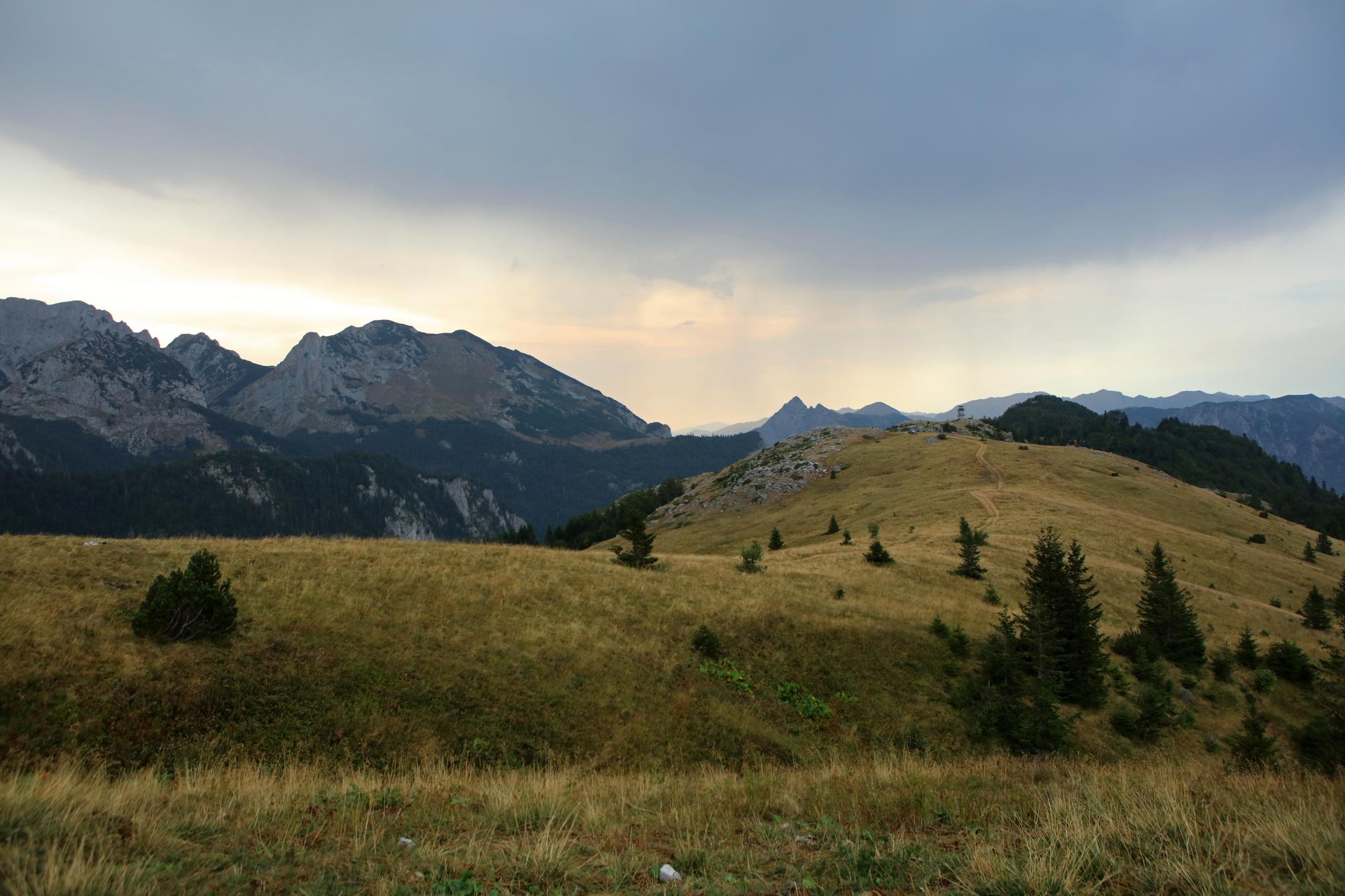
The 2,386m (7,828ft) Mount Maglić is the highest peak in Bosnia and Herzegovina and is reached via one of the last primeval rainforests which remains in Europe.
To climb this mountain you’ll want to make your way to the 18th-century city of Trebinje. Visit the Tvrdos Monastery while you’re there and have a sample of their famous wine (but not too much, you’ll have an early start the following day).
This mountain sits in the Sutjeska National Park, and sits next to the Sutjeska, Drina and Piva rivers, the Volujak mountain and the Mratinjska Uvala valley.
The most popular route up this mighty mountain is via the ‘Postman’s Route’, which is so-called because of the postmen who have to cross these mountains to deliver the mail. You’ll have views of the Perućica rainforest as you climb, with the final section of the route being a lot more barren and rocky, with light scrambling required and steep sections secured with cables. This mountain is also known as the ‘Misty Mountain’, but if you’re able to see the view, you’ll be looking at the turquoise Lake Trnovačko, the rainforest and all of Bosnia.
10. Climb Musala, Bulgaria
- Start/Finish: Yastrebets (cable car station)
- Length: 9 miles (14.5km)
- Walking time: 5 hours (with use of cable car)
- Difficulty: Moderate
- Countries: Bulgaria
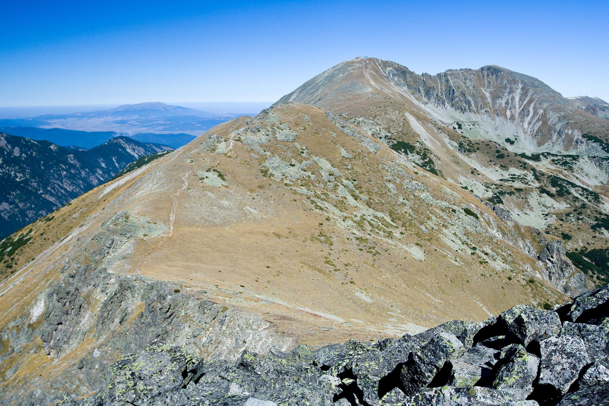
Musala stands 2,925m (9,596ft) high in the Rila Mountains - the highest peak in both Bulgaria and the Balkans. The mountain sits in Rila National Park in the south-west of Bulgari, which is famed for its 'seven lakes' and is worth exploring beyond the peak. There's a rich mix of pine and fir forests and rugged peaks.
Despite being so high, the trek up Musala isn’t quite as demanding as you might expect. There is a cable car from Borovets Resort that takes you up to Yastrebets Peak (2,369m/7,772ft). From here, there is just under 700m (2,296ft) of ascent to the summit - but it’s sharp and steep.
For a special experience, stay the night up at Musala or Ledene Ezero...
From Yastrebets, you’ll first head past glacial lakes and rocky circuses - passing Musala Hut and Everest Shelter before finally reaching Musala Peak, which overlooks the whole route. Of course, a hike to a summit where a gondola does most of the work may not be for some, but it makes the mountain climb a lot more accessible, and the panorama from the top is special.

From the summit you can see all the major mountain ranges in Bulgaria - from the Vitosha, Pirin and Sredna Gora mountains to the Balkan and Rhodope Mountains and Rila National Park. For a special experience, stay the night up at Musala or Ledene Ezero, which are near the summit and allow you to watch the sun set and rise again over Bulgaria and the Balkans.
Inspired? Check out our full range of adventures in the Balkans now!

