


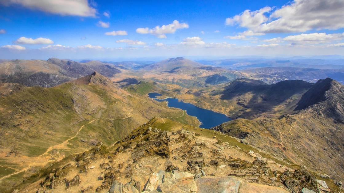
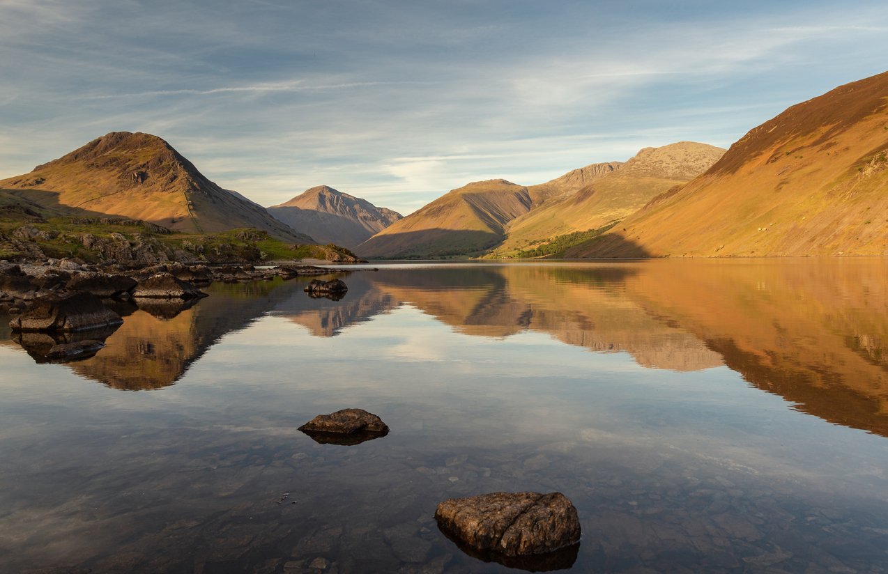
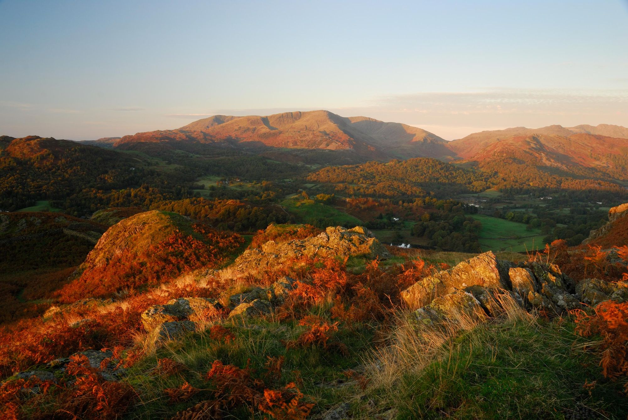
You could spend a lifetime searching for the best hikes in the Lake District, one of the most scenic national parks in the United Kingdom. One of the best things about hiking is that you can choose so many different paths and ways to make your route. These five hikes are what I consider to be the "best" and most adventurous that I’ve done in eight years of walking and leading groups on hikes in the Lake District - in terms of the scenery, and the immersion in the landscape.
If you are looking for low level circular walks in the Lake District, stop reading right now. These are not easy walks. There are plenty of those elsewhere on the internet. But, if you’re fed up of the prospect of walking around Derwent water, and feel like crying when someone suggests hiking Catbells for the day: welcome.
This piece is not just about what we think are the best walks in the Lake District, but also what we think are the most adventurous walks in the Lake District - hikes that ask a lot of you, but which also give a lot back in return.

Here are the routes we've picked as the five best hikes in the Lake District:
- Fairfield horseshoe
- Helvellyn Ridge
- Scafell Pike
- Langdale Horseshoe
- Kirkstone Pass Loop
These Lake District walks are not short. They will each take a day to complete and some you will have to get up early for. Some of them are absolute monsters – in a good way. Expect long walks and a fair bit of height gain (this is the Lake District, after all). The maps embedded on this page are only for guidance, to give you a rough idea of where the route goes. Please use them as a start point for your own route planning, not as a turn-by-turn digital navigation system.
Each of these hikes is a short description, and so further research will certainly be required before walking. You'll notice, though, that we've provided distances, rough durations, and we've also included how many Wainwright summits each of the routes involves too - a Wainwright being any one of the 214 peaks of the lakes highlighted by Alfred Wainwright in his famous work.
Each of the routes featured here is a hike, meaning that there is no scrambling involved. And they can all be done in a day – although a very full day. You shouldn’t expect to hike these Lake District trails in a day if there is snow.
The Best Hikes in the Lake District: Mapped
Here, we've marked the rough position of each of the hikes below. As you can see, they are scattered around the Lake District, with all being easily reachable from the surrounding Lake District towns, such as Ambleside or Keswick.
5 of the Best Hikes in the Lake District
1. Fairfield Horseshoe
- Start/Finish: Rydal (circular)
- Distance: 16km (10 miles)
- Total ascent: 838m
- Walking time: 5.5 hours +
- Difficulty: Challenging
- Wainwrights: 6
We’ll start with a classic Lake District trail, and certainly one of the best walks in the Lake District. The Fairfield Horseshoe begins and ends in Rydal, although you can tack on the walk to nearby Ambleside if you need. Ambleside is more easily accessible if you need to park a car, but the 555 bus stops at Rydal on its Windermere – Keswick route.
“From the south it appears as a great horseshoe of grassy slopes below a consistently high skyline…but lacking those dramatic qualities that appeal most to the lover of hills.” So wrote one Alfred Wainwright of Fairfield in his Pictorial Guide to the Lakeland Fells. It’s funny then, that the most popular way to reach Fairfield (and its dramatic scree slope beside Grisedale tarn) is from the south. Stranger still that so many of the hills on the horseshoe made it into his famous guide books.
This is a nice, average length horseshoe with great views over to the Helvellyn range if the weather is good. It’s such a classic because it gives a comprehensive flavour what the Lake District fells have to offer. On this walk you’ll encounter grassy mountains, tiny tarns, rocky steps, open plateaus, steep ridgelines and a
fair bit bog!
Route Description
Start the walk from the bus stop at Rydal. Head up the hill along the little road until it meets a path. At this junction, turn right and follow footpath signs out onto the open fells. The path up Nab Scar is a steep but well-walked grassy track. Follow it all the way up to Heron Pike, then along the ridge past Great Rigg to Fairfield. In poor visibility, the flatter sections around Heron Pike may be less obvious – but otherwise stick to the ridge all the way up. There are cairns marking the path from Great Rigg up to Fairfield.
The summit of Fairfield is quite flat with no real peak-marker – there are several cairns. If the weather is less than perfect, this can become quite disorientating. I would recommend taking a bearing off the top to ensure you continue round the horseshoe, curving right and around the head of Rydal Beck far below. It’s a very long walk back from Patterdale if you accidentally take the St Sunday ridge…
Now on the correct path, you should walk beside the steep edge of the hanging valley to your right. As you approach Hart Crag, the path becomes rocky and care may be needed. Pick up the wall that will now lead you all the way back to Ambleside! It is debatable which side of the wall has a better path, both can be very boggy in places. I tend to keep the wall on my right. Follow the wall over Dove Crag and on to High Pike.
At this point, the path becomes a bit more craggy. You can do some short scrambly sections if you wish, but there is a good path around them. The descent continues steeply to Low Pike and then back down towards Scandale Beck. At the Brock Crags, a better path splits off from the wall, to cross High Sweden bridge, and eventually meets back up with the wall about 1km later.
2. Helvellyn Ridge (Yes, all of it)
- Start/Finish: Stannah/Patterdale
- Distance: 16km (10 miles)
- Total ascent: 1113m
- Walking time: 6.5 hours +
- Difficulty: Challenging
- Wainwrights: 6
The Helvellyn Ridge is probably the best ridge walk in the Lake District. It certainly makes for a stunning day if you get the right weather. You’ll have great views either side across the whole of the Lake District. Plus you’ll probably have the ridge to yourself except for the busy bit around Helvellyn.
If you’re up for making it even longer, you can start further north (as far at Threlkeld) if you can find parking, or otherwise get yourself there! You could also continue south right the way in to Ambleside, but we’ve covered that ridge already and St Sunday Crag is the better mountain in my opinion. But if you want a ridiculously long linear walk, the option’s still there.
Helvellyn is arguably the most iconic mountain in the Lake District. It has many claims to fame: third highest mountain in England, two popular scramble ridges and some favourable words from Alfred Wainwright. Supposedly, if the weather is good, you can see Scotland and Wales from the top, never mind most of the bodies of water in the Lake District.
Route Description
Start at Stannah, near the Y-junction in the main roads. Follow a footpath up past the farm and steeply up a wall on to the Helvellyn Ridge. This is a fairly brutal ascent to start your day with! Sticking to the path, you should come out at a col called Sticks Pass. Now, if the weather is good, simply turn right and follow the ridgeline south. If the weather is poor, you will need to be sharp with your navigation. The Helvellyn ridge can be quite flat on top and it is easy to lose sense of direction in the mist.
Walking south and following the wiggles of the path, you will summit Raise, Whiteside, Helvellyn Lower Man and then Helvellyn, the highest point of this hike. There is a trig point on top, with a wonderful view east towards Patterdale and Helvellyn’s famous edges. If the weather is grim, you’ll be pleased to know there is a stone shelter just off the summit that you can eat your sandwiches in!
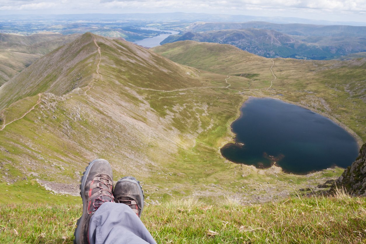
Continue along the ridgeline south. The main path doesn’t take in all the peaks, so you will have to break out left and uphill to reach Nethermost, High Crag and Dollywaggon Pike. The ridge to your left is sheer making for stunning views and a steep drop below. After Dollywagon Pike, rejoin the main path and descend to Grisedale Tarn, down well-made stone steps.
At this point, if you’re fed up of hills, turn left and take the long, slow descent of the valley path down to Patterdale. If you’re still keen for more, take the steep scree path up towards Fairfield. At the summit of Fairfield, you can choose: either head east and then south, taking in the end of the Fairfield horseshoe to arrive at Ambleside; or head north to take you towards Patterdale. If you chose north, you are in for an excellent ridgeline descent over St Sunday Crag and Birks. After Birks, drop down to your left, along the path through the woods, then follow the footpath signs for Patterdale.
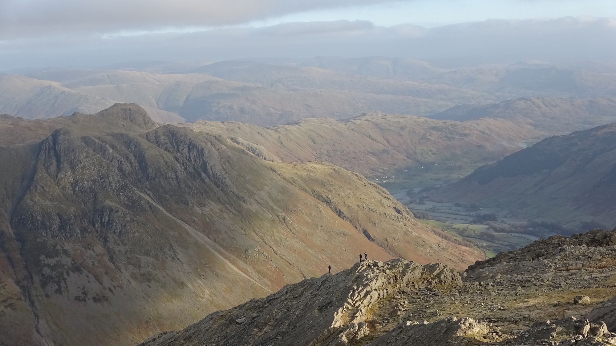
3. Scafell Pike (The Bonkers Way)
- Start/Finish: Langdale valley (circular)
- Distance: 18km (11 miles)
- Total ascent: 1402m
- Walking time: 7.5 hours +
- Difficulty: Challenging
- Wainwrights: 3
This hike is not for the faint hearted. You must like uphill – and lots of it! As you'll probably know, Scafell Pike is the highest mountain in England, and while it may still be a way off the highest mountains in the world, it's no easy stroll. Especially if you choose this route, which goes up Scafell Pike with pretty much the highest amount of ascent possible. You should be comfortable with going off-piste and walking on scree slopes before you attempt this route - but if you are, then you're in for one of the best walks in the Lakes.
The best place to start this route is from the end of Langdale valley. There is a large carpark at New Dungeon Ghyll, by the National Trust’s Sticklebarn. There is also a bus service that runs down the valley in the summer.
If you have your heart set on Scafell Pike, but don’t fancy this route, you can always climb it from Wasdale or Seathwaite, like everyone else. Both make a nice walk, but parking at Seathwaite is pretty well impossible in the summer. There is no direct bus link on either side, unless you fancy a long walk. Oh wait – of course you do, that’s why you’re here! Now, onto the route up Scafell Pike:
Route Description
From New Dungeon Ghyll, head west down the road until you reach a T-junction with a campsite on your left. Take the track in front of you towards Stool End and then the footpath up onto the fells. The path sticks to the ridgeline, taking you over The Band and Earing Crag, towards Bow Fell. At the col by Three Tarns (there are actually more than 3 if it’s been raining!) turn right and take the rocky path up to the summit of Bow Fell.
Right, from here it gets a little interesting. You will be going completely off path and off piste, walking almost exactly due west. You’re aiming to get to the bottom of the river valley, where the Little Narrowcove descends from Scafell Pike and joins the River Esk. There is a path up this gulley. Between you on Bow Fell and this gulley are two river crossings and some crags… Well you asked for adventurous! Make an assessment of it on the day and if the weather is bad, the rivers are high or you just don’t like the look of it, maybe it’s one for another day.
If you make it to the bottom of the gulley, there is a faint path on the lefthand side of the gulley. Pick your way up it, through the scree, going parallel to the river. This tops out on a col between Scafell Pike and Broad Crag. Turn left along the main path for Scafell Pike. Rejoice that you’re the highest people in England when you’re standing on the summit shelter!
When you’re done celebrating, head back the way you came to the col. Then instead of descending the gulley you came up, continue on the ridgeline path over Borad Crag and down towards Great End. Just before Great End, take the path that swings round to the right and starts to head back south over Esk Pike and then back to Bow Fell. Two ascents of Bow Fell in one day, for good measure.
Now you are back on the path that you started the walk on. Simply follow this path back down to Langdale valley.
4. Langdale Horseshoe

- Start/Finish: Old Dungeon Ghyll (circular)
- Distance: 18km (11 miles)
- Total ascent: 1400m
- Walking time: 7 hours +
- Difficulty: Challenging
- Wainwrights: 6
The Langdale Horseshoe is a beautiful, circular route that starts and finishes at Old Dungeon Ghyll. It’s a full and challenging day out in the fells and is probably best done anti-clockwise. If you are running late, you can always cut off down the long valley path at halfway. There is a large National Trust carpark by the Sticklebarn, bus services exist but are less frequent.
The mountains around Langdale are some of the most interesting in the Lake District. Visually appealing and full of history, they make a compelling place to walk. Pike of Stickle, one of the first peaks on this route, is generally considered to be the site of a Neolithic axe quarry. Its stone axe heads have been found across the UK.
I also have a long history (although not quite that long!) with this horseshoe around Langdale. For several years I planned to take a group around the whole loop in one go. Every time, for one reason or another, we were obliged to cut short and take the long, slow descent back along the Cumbria Way. It is an ambitious route. Finally I went back on a personal campaign to complete the second half of the horseshoe. It was well worth the effort.
Route Description
From Sticklebarn, follow signs for the Cumbria way (heading west) to take you out onto the open fells. Through the gate, take the clear path branching off to your left and up the ridgeline. Follow this path along the top of the Langdale Pikes to the Pike of Stickle. There’s a great view here on a good day.
Continue along the top of the ridge parallel to the valley. Then take the path that swings round across the head of Langdale valley, before heading back south-west along the next ridgeline. Here the path skips off the summits. So, for the full bagging experience, cut up from the path and follow the ridgeline across the tops of Buck Pike and Rossett Pike. Then drop down towards Angle Tarn.
There is a small, fairly indistinct path that heads up and around the bowl that the tarn sits in. Take that up to Ore Gap and then turn left to head up our old favourite, Bow Fell. From the very top of Bow Fell you should have views out to the distinctive Langdale Pikes that you hiked up earlier today.
The path makes a steep descent down to Three Tarns and then winds its way through the craggy outcrops towards Crinkle Crags. The path is still marked by cairns, but would be easy to lose in poor visibility. Above Mickledore, just before the “summit” of Crinkle Crags, ensure that you swing out right – away from the exposed edge (and notorious Bad Step). There is a good clear path from the summit, down and around the face that avoids any sheer drops or exposure. Follow this path across to Great Knott.
The path is once again a stony highway as it heads down towards Red Tarn and immediately up again to your final summit: Pike of Blisco. There are two tops on this mountain and the main path runs between them and back down the other side towards the start of our walk. The descent picks its way through the crags and then becomes grassy as it heads straight North East, roughly following a stream until it meets Redacre Gill.
The path will spit you out on the bend of a road, just next to a double chevron. Follow this road downhill back towards Langdale village until you join the path that you started on back to the carpark, completing one of the best Lake District Circular walks on the map.
5. Kirkstone Pass Loop
- Start/Finish: Kirkstone Pass Inn (circular)
- Distance: 22.5km (14 miles)
- Total ascent: 1448m
- Walking time: 8.5 hours +
- Difficulty: Challenging
- Wainwrights: 8
This is another one of the best Lake District circular walks out there, and it's also your bonus prize. You will not find this in any guidebook! It’s a route that I invented at university (if anyone can claim to “invent” a route). If you want to do the whole route in a day, you should either be a very fast walker or start very early!
The route starts and finishes at the Kirkstone Pass Inn. There is some parking and no bus service (unsurprisingly, considering how notoriously steep Kirkstone Pass is!). You can always decide to cut back towards the pub at halfway, if you’re running late, or aren’t really feeling the extra ascent.
This is what I might describe to a hiking group as an Emily Special… Not because I like putting my name on things, but because it combines lots of bits of the Lake District I really like, in a way that people might not have usually thought of. It includes a lovely ridge walk, a beautiful mountain lake and a Roman road. Plus a good helping of uphill and downhill across a variety of terrains.
Route Description
From the Kirkstone Pass Inn, cross the road and take the steep path directly up Red Screes. Yes, it’s not the most fun way to start your day, but best get it over and done with! Plus at least you’re not walking down it… Celebrate at the summit trig point, then take the path going north west beside the wall towards Little Hart Crag, then on to Dove Crag. You’re now doing a tiny bit of the Fairfield Horseshoe in reverse.
At Hart Crag, turn right and take the path straight along one of my favourite ridgelines in the Lake District. It’s not very long, but it’s narrow, a bit rocky and with lovely views on either side. Plus it’s all downhill! The path should take you to the top of a patch of woodland. Cross the wall into the woods and take the footpath down to the road and carpark at Brothers Water.
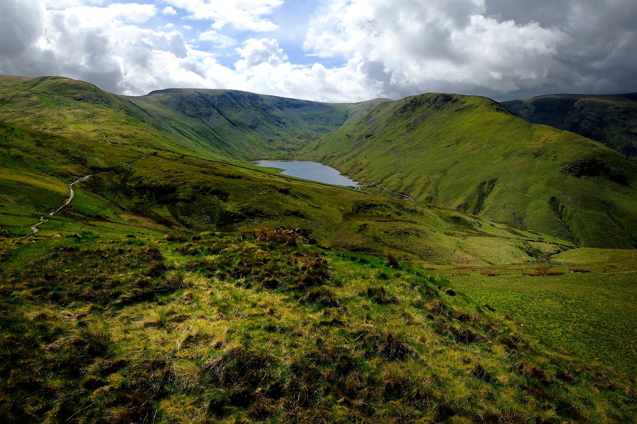
Now there is a tiny walk alongside a road before you pick up the footpath in Hartsop, just north of the river and heading east. Stick on this path as it heads up towards the mountain lake Hayeswater, then heads up to The Knott – a craggy peak. This is the start of your time on High Street, part of a former Roman Road across the Lake District. In true Roman fashion, it is surprisingly straight and surprisingly flat.
Follow this path south until it curves around to the right to take you up Thornthwaite Crag. You’re nearly finished. Take a path west, over Stony Cove Pike and down to the monument of John Bell’s Banner. Continue on the main path south and downhill, along St Raven’s Edge (a little scrambly) to the pub. Have a well earned glass of whatever drink you like best!
When is the Best Time to Go Hiking in the Lake District?
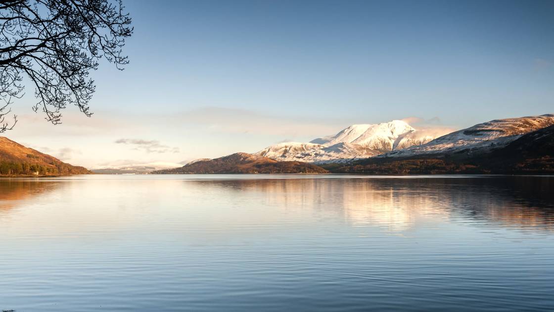
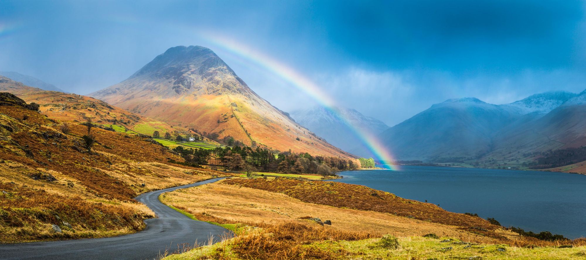
The Lake District is a year-round hiking destination. You really feel the seasons here. The prime months for hiking are the British summer, from June to the end of August, but the Lake District does get incredibly busy during this period, so you may enjoy the shoulder seasons in April, May, September or October, more - and you may find the locals are a bit more relaxed during that time.
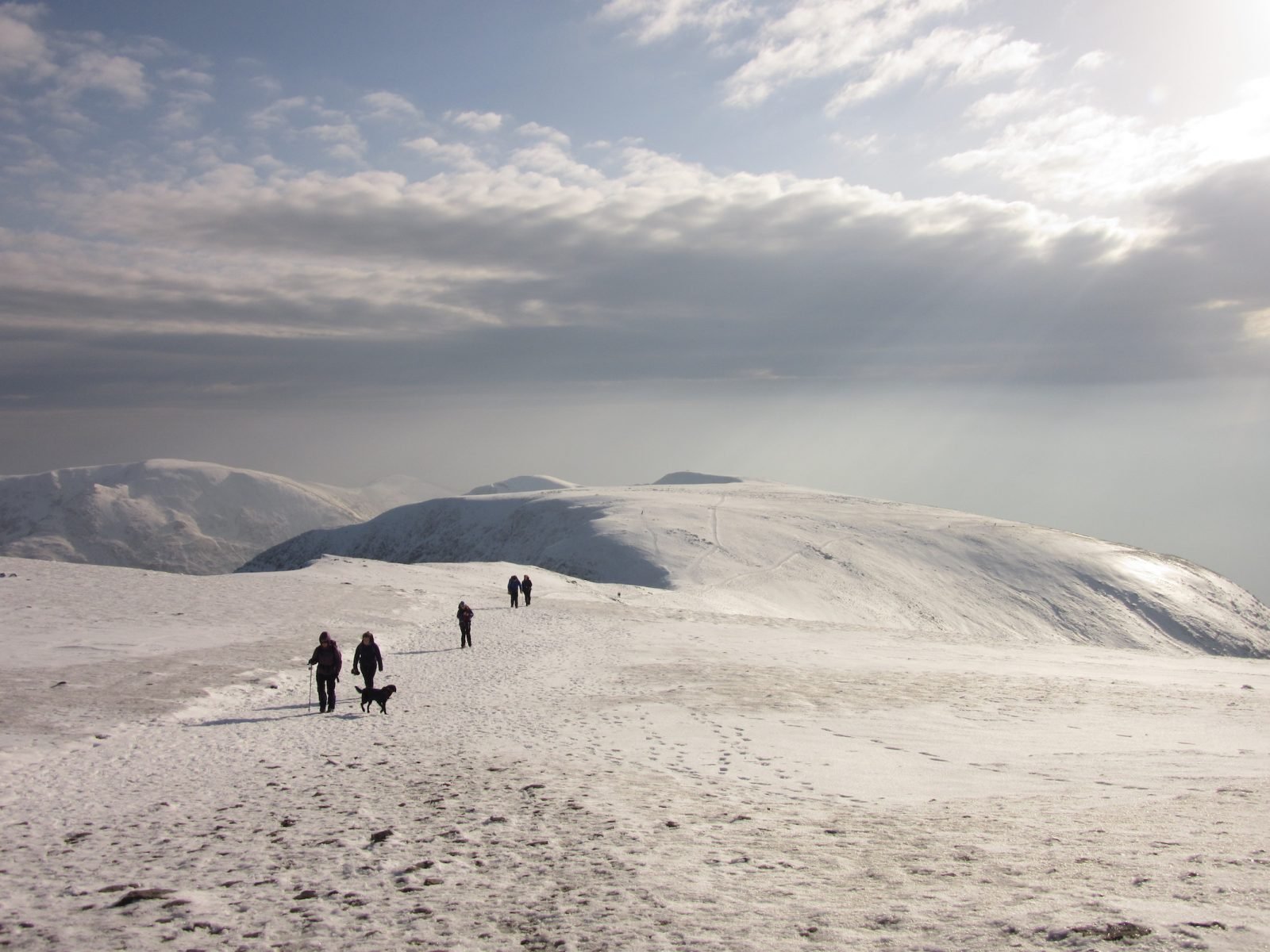
During winter, you can very much still hike here, but there can be frost or snow on the mountains. There is also a lot less daylight, so plan accordingly and ensure you have the right kit. As we mentioned, these five hikes in particular should not be attempted in bad conditions, such as snow, as they are too long.
Where to Stay in the Lake District?
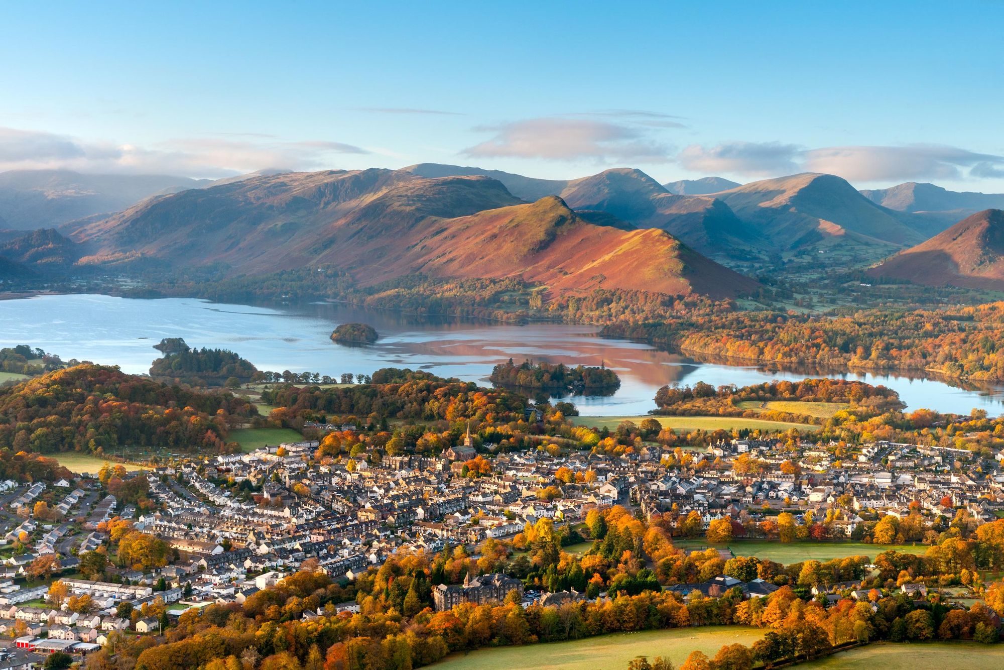
There are a plethora of picturesque towns dotted around the Lake District, and picking the right one can really enhance your stay. Naturally, though, they do get very busy in summer - so booking accomodation in advance is advised.
Ambelside, Keswick, Coniston, Elterwater, Windermere, Kendal, Buttermere, Cockermouth, Patterdale, Glenridding, Grasmere, Chapel Stile, Braithwaite, Nether Wasdale and Borrowdale are all popular. It can be a good idea to first pick out your ideal hikes, and then base your accomodation options on the result.
There are an absolute abundance of great youth hostels in the Lake District. YHA alone have 19, including in Ambleside, Coniston and Windermere, as well as deeper in the fells, and there are other independent hostels such as the Elterwater Hostel and River Deep Mountain High Bunkhouse.
While wild camping is not permitted without the prior consent of the landowner, there are some fantastic campsites too. Castlerigg Farm in Keswick is very convenient, while Low Wray campsite sits right on the edge of Windermere, and the Great Langdale Campsite is a particularly beautiful option. Syke Farm Campsite in Buttermere is another beautiful option
What Animals Can You See in the Lake District?
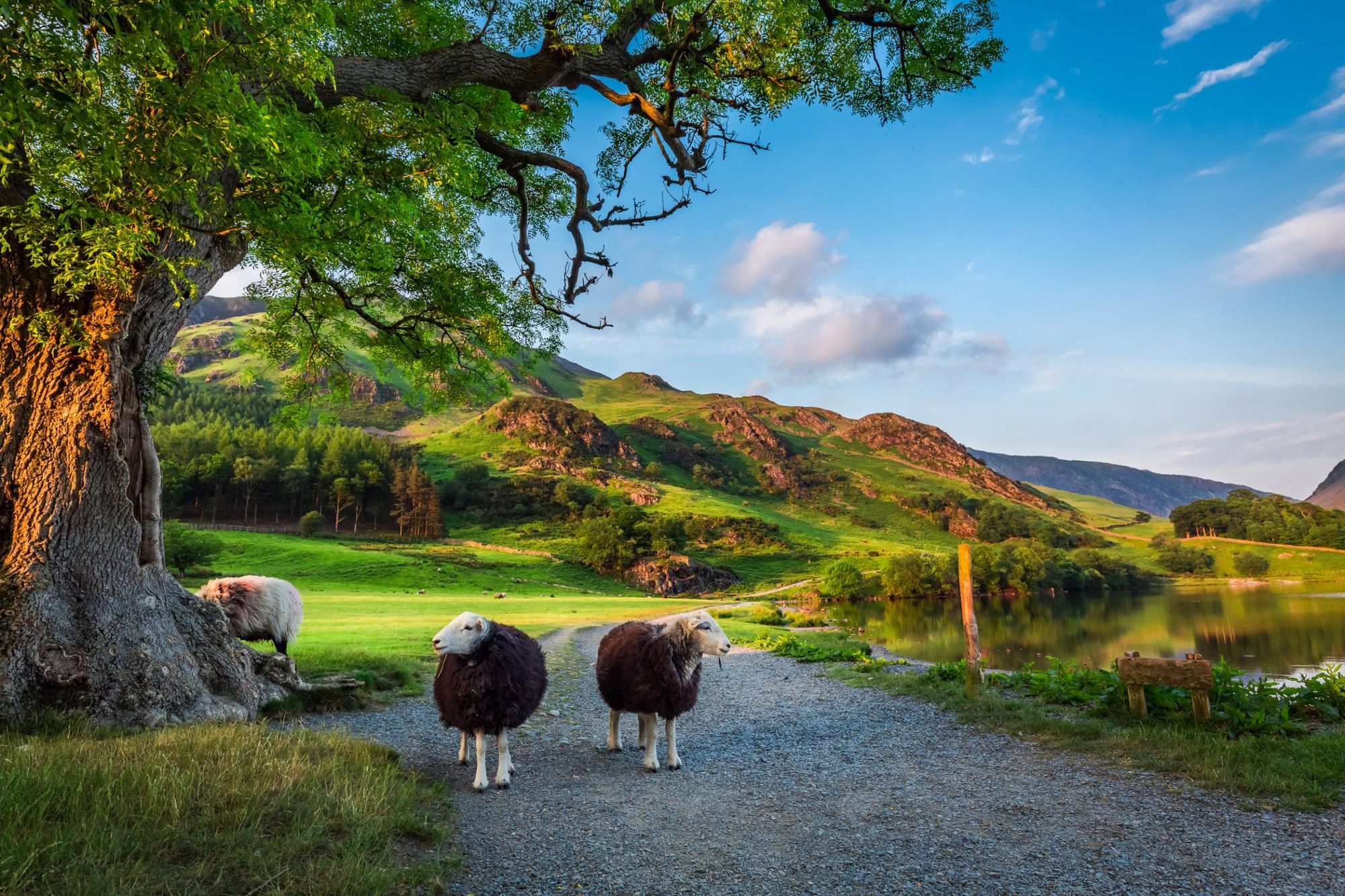
You'll find a very classic range of British animals dotted around the Lake District.
The key mammals in the area include red deer, otters, badgers and even red squirrels. Things arguably get most interesting in the skies though. Get lucky and you can see ospreys and peregrine falcons, while down by the water, you can catch sight of great-crested grebes and kingfishers.
Naturally, given the farming in the area, the animals that you'll see the most of are sheep. They're dotted all over the Lake District, on paths, hillsides and beyond.
How to Get Around in the Lake District?
By train: The Lake District is well served by trains. The West Coast mainline connects Oxenholme (near Kendal), Penrith and Carlisle with London and Glasgow. Local trains from Oxenholme run on to Kendal, Staveley and Windermere. There's also a direct train from Manchester to Windermere.
By bus: Stagecoach operate services which run around the Lake District. They're pretty reliable, so just check the timetables and plan your trip. At the time of writing, it's £2 for a single journey on a bus, or £9,50 for a day ticket.
Read more:
- Best Hikes in the UK: 11 of the Most Adventurous Routes
- The Tallest Mountain in England and How to Climb it
- Hiking in Scotland: 26 of the Best Hikes in the Country
Inspired? Check out our full range of adventures in the UK now!